Cracknow Hill

Hill, Mountain in Cambridgeshire South Cambridgeshire

England

Cracknow Hill

Barrington Church
Barrington Church Credit: mym

Cracknow Hill, located in Cambridgeshire, England, is a prominent hill in the region. Despite the name, it is important to note that Cracknow Hill is not a mountain, but rather a small, picturesque hill that offers stunning views of the surrounding countryside.

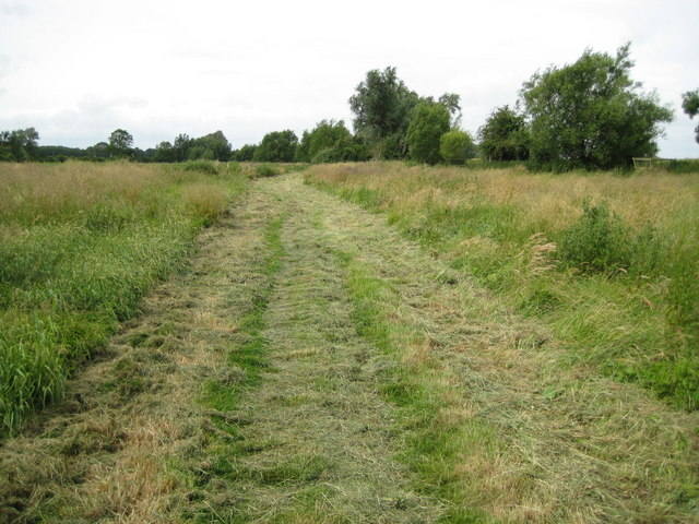
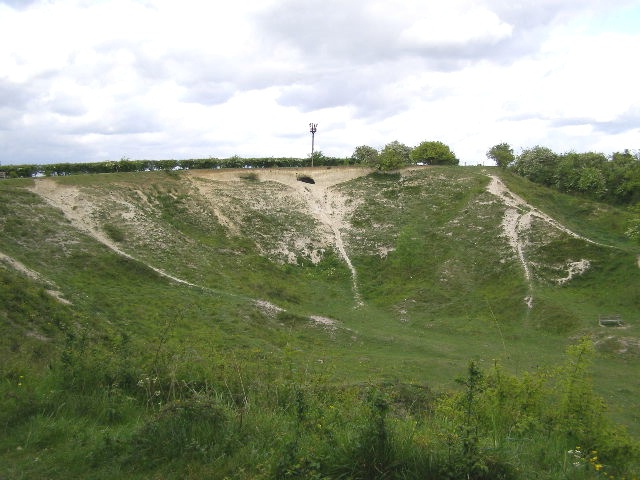
Standing at an elevation of approximately 50 meters (164 feet), Cracknow Hill is a popular destination for hikers, nature enthusiasts, and locals looking to enjoy a peaceful walk in the countryside. The hill is covered in lush greenery, including grassy slopes and scattered trees, providing a tranquil and idyllic setting.

The hill is easily accessible, with designated footpaths and trails leading to its summit. The paths are well-maintained, making the ascent manageable for visitors of all ages and fitness levels. Upon reaching the top, visitors are rewarded with panoramic views of the Cambridgeshire countryside, including sweeping vistas of rolling hills, farmland, and distant villages.

In addition to its natural beauty, Cracknow Hill also boasts historical significance. It is believed to have been inhabited in the past, with archaeological evidence suggesting human presence dating back to the Iron Age. The hill's strategic location also made it an important site during various periods of conflict and settlement.

Overall, Cracknow Hill in Cambridgeshire offers a charming escape for those seeking a peaceful retreat and an opportunity to connect with nature. Its accessibility, stunning views, and historical significance make it a must-visit destination for locals and tourists alike.

If you have any feedback on the listing, please let us know in the comments section below.

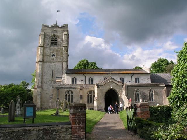
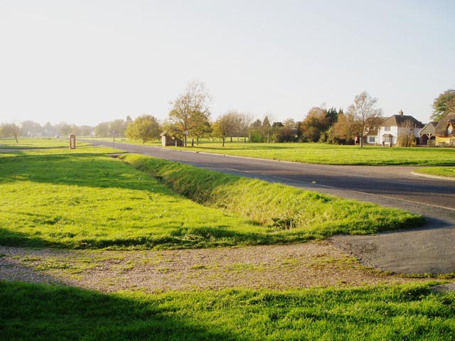
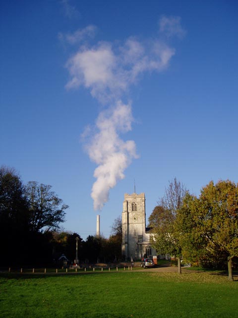
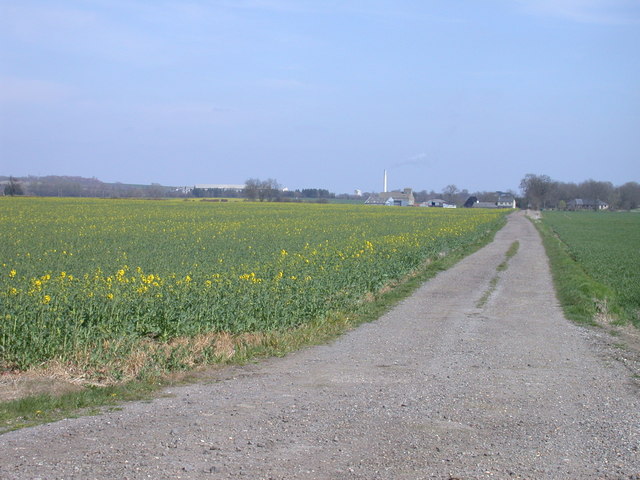
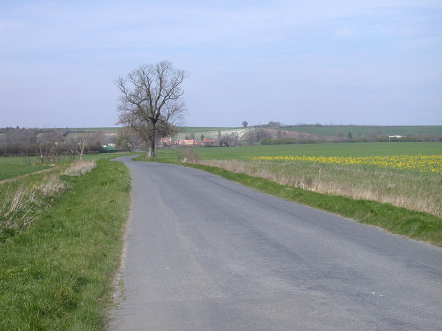
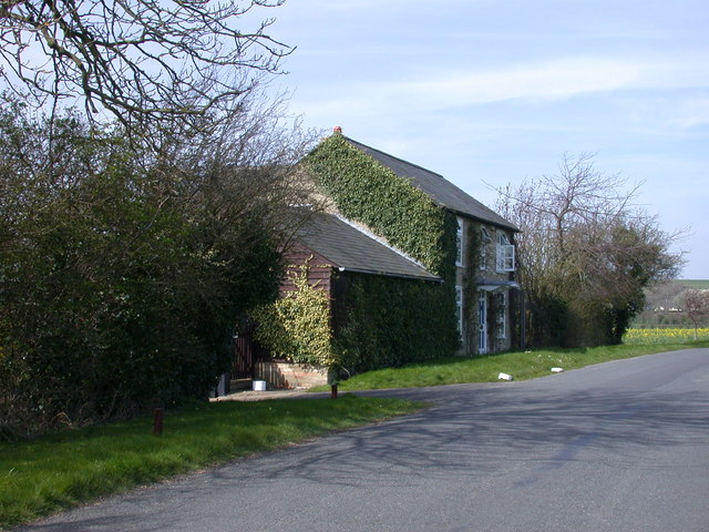
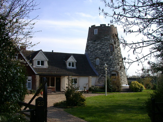
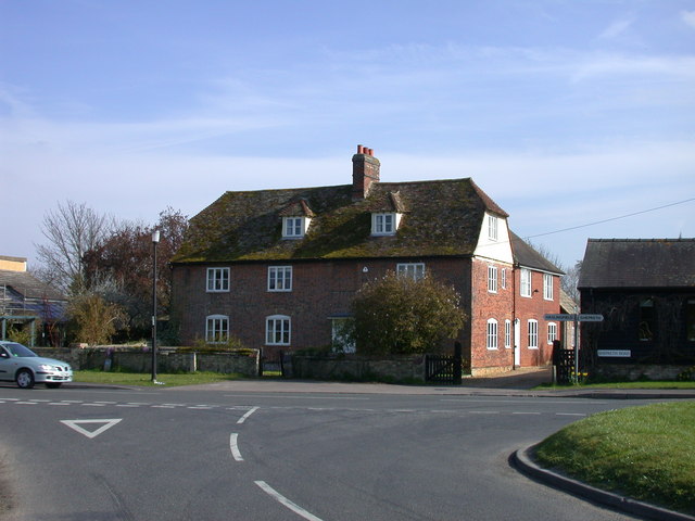
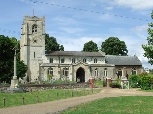
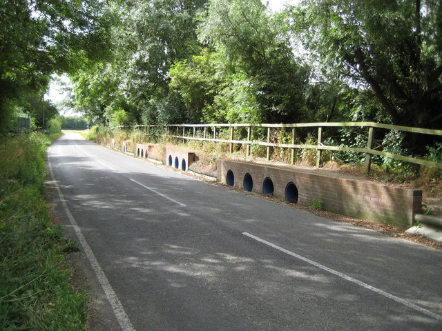
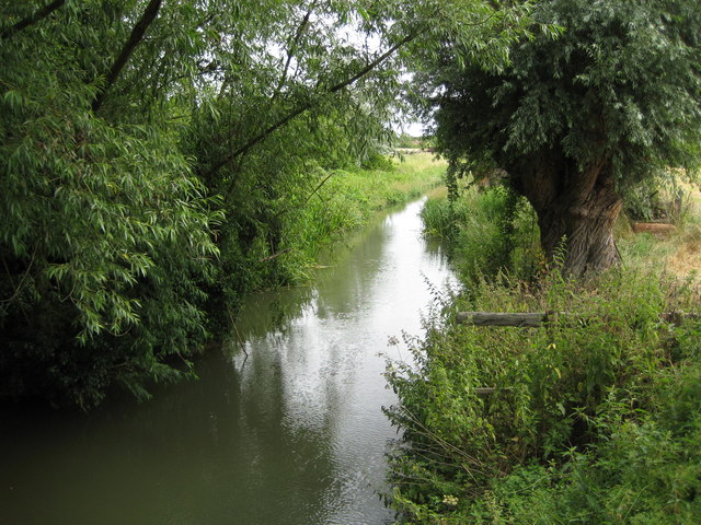
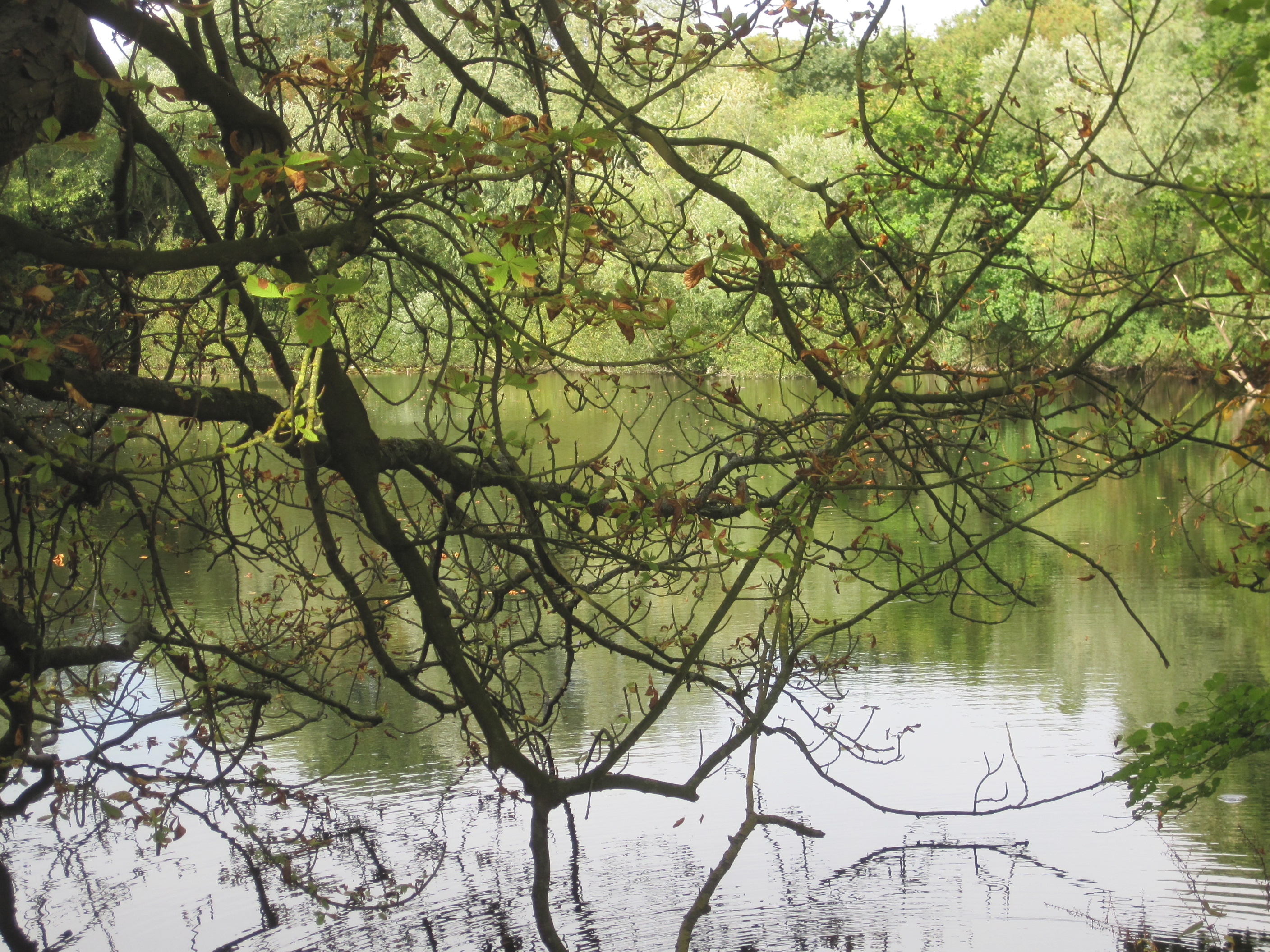
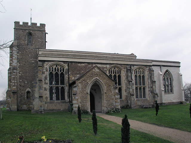
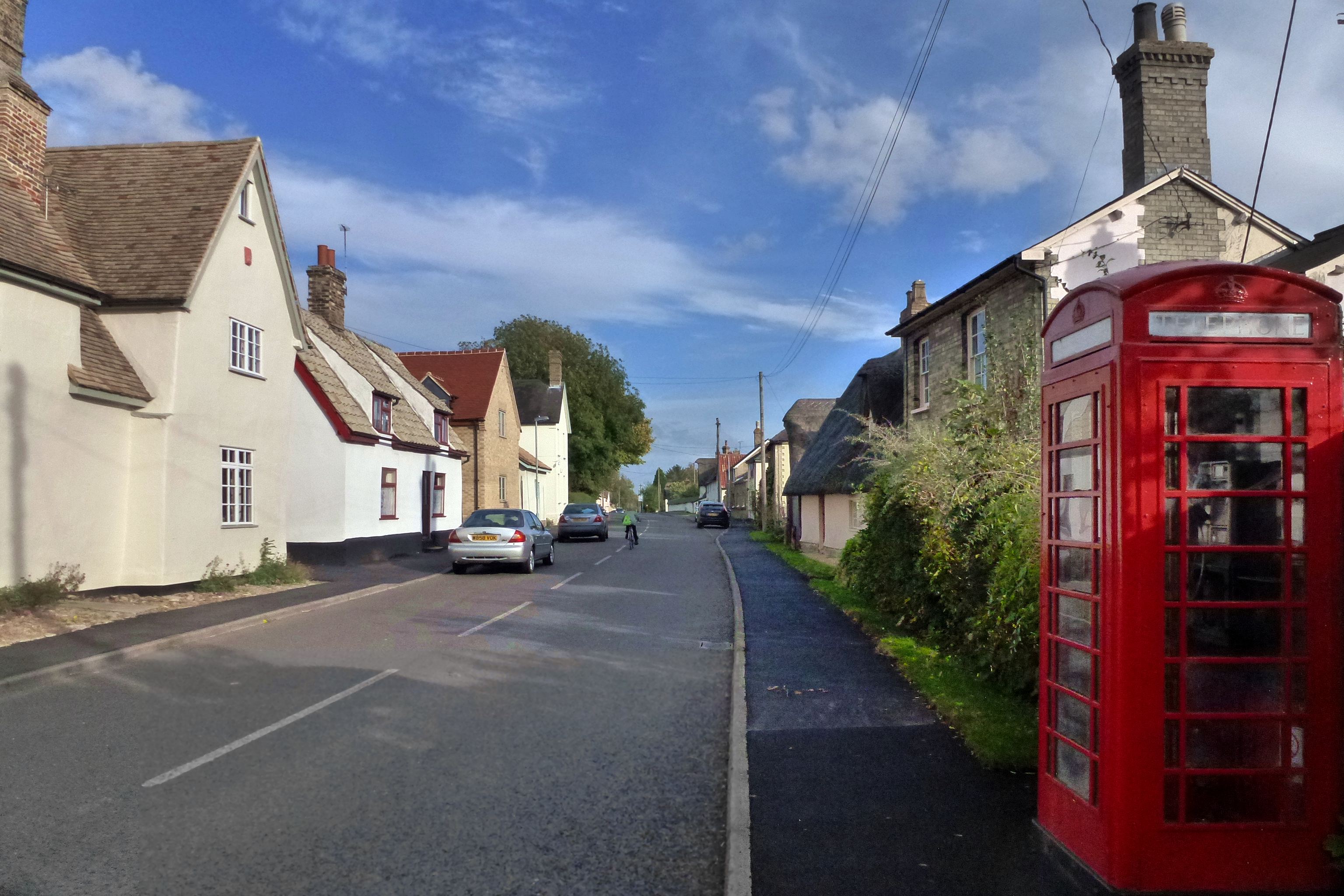
Cracknow Hill Images

Images are sourced within 2km of 52.135954/0.015769086 or Grid Reference TL3850. Thanks to Geograph Open Source API. All images are credited.

Barrington Church
Barrington Church
Barrington Barrington doesn't have a village street as such; the houses are arranged around this large green with the road running through the middle.
Barrington
Barrington doesn't have a village street as such; the houses are arranged around this large green with the road running through the middle.
Barrington Towers Two of Barrington's main features: the church and the cement works chimney.
Barrington Towers
Two of Barrington's main features: the church and the cement works chimney.
Track to Trinity Farm. Barrington
Malton Road, Orwell / Barrington border Orwell to the left, Barrington to the right
Malton Road, Orwell / Barrington border
Orwell to the left, Barrington to the right
The Retreat, Malton Road, Orwell Partly let out as self-catering accommodation
The Retreat, Malton Road, Orwell
Partly let out as self-catering accommodation
The Windmill, Barrington
Shepreth Road, Barrington
Entrance to Riverside Meadows
'The Royal Oak' inn at Barrington
Barrington Village Sign - detail
Barrington Post Office Combined with a Convenience Store.
Barrington Post Office
Combined with a Convenience Store.
All Saints Barrington The church of All Saints Barrington Cambridgeshire. For more info see <span class="nowrap"><a title="http://www.druidic.org/camchurch/churches/barrington.htm" rel="nofollow ugc noopener" href="http://www.druidic.org/camchurch/churches/barrington.htm">Link</a><img style="margin-left:2px;" alt="External link" title="External link - shift click to open in new window" src="https://s1.geograph.org.uk/img/external.png" width="10" height="10"/></span>
All Saints Barrington
The church of All Saints Barrington Cambridgeshire. For more info see LinkExternal link
Shepreth: Barrington Road flood culverts When the River Cam bursts its banks it floods across Barrington Road from right to left in the picture. The culverts allow the water to flow under the elevated pedestrian walkway.
Shepreth: Barrington Road flood culverts
When the River Cam bursts its banks it floods across Barrington Road from right to left in the picture. The culverts allow the water to flow under the elevated pedestrian walkway.
River Cam near Barrington Viewed from the bridge which carries Shepreth Road, Barrington and/or Barrington Road, Shepreth, over the river.
River Cam near Barrington
Viewed from the bridge which carries Shepreth Road, Barrington and/or Barrington Road, Shepreth, over the river.
Shepreth: Riverside Meadows The meadows, which are adjacent to the River Cam, off to the right, were once owned by the nuns of Chatteris, but since 1920 they have been part of Cambridgeshire County Council's County Farm Estate. The cut route is the line of the footpath.
Shepreth: Riverside Meadows
The meadows, which are adjacent to the River Cam, off to the right, were once owned by the nuns of Chatteris, but since 1920 they have been part of Cambridgeshire County Council's County Farm Estate. The cut route is the line of the footpath.
Barrington: The village sign The village sign was erected in memory of Mr William Warren in recognition of his many years' service to the village. In the background is the village cricket pitch and to the right the pavilion. The nice floral display was being carefully tended just before the photographer arrived.
Barrington: The village sign
The village sign was erected in memory of Mr William Warren in recognition of his many years' service to the village. In the background is the village cricket pitch and to the right the pavilion. The nice floral display was being carefully tended just before the photographer arrived.
Barrington: West Green The broad expanse of Barrington Green is shown in this image with the houses that line the green out of sight on both sides. West Green is the road name. <a href="https://www.geograph.org.uk/photo/879477">TL3949 : Barrington: The village sign</a> is off to the right in the distance.
Barrington: West Green
The broad expanse of Barrington Green is shown in this image with the houses that line the green out of sight on both sides. West Green is the road name. TL3949 : Barrington: The village sign is off to the right in the distance.
Show me another place!

Cracknow Hill is located at Grid Ref: TL3850 (Lat: 52.135954, Lng: 0.015769086)

Administrative County: Cambridgeshire

District: South Cambridgeshire

Police Authority: Cambridgeshire

What 3 Words

///fell.bookings.wonderful. Near Orwell, Cambridgeshire

Related Wikis

Nearby Amenities

Located within 500m of 52.135954,0.015769086
Cracknow Hill
Created By: Potlatch 0.10b
Natural: hill
Place: locality
Source: npe
Lat/Long: 52.1373328/0.0193228
Information: guidepost
Tourism: information
Lat/Long: 52.1360835/0.0190423
Information: map
Tourism: information
Lat/Long: 52.1361879/0.0191161
Generator Method: photovoltaic
Generator Output Electricity: yes
Generator Source: solar
Generator Type: solar_photovoltaic_panel
Power: generator
Lat/Long: 52.1363453/0.0197679
The data included in this document is from www.openstreetmap.org. The data is made available under ODbL.

Have you been to Cracknow Hill?

Leave your review of Cracknow Hill below (or comments, questions and feedback).