Tyler's Hill
Hill, Mountain in Hertfordshire East Hertfordshire
England
Tyler's Hill

Tyler's Hill is a small village located in Hertfordshire, England. Situated on a hill, it offers breathtaking views of the surrounding countryside and is renowned for its natural beauty. With a population of around 200 residents, it is a close-knit community that enjoys a peaceful and tranquil environment.
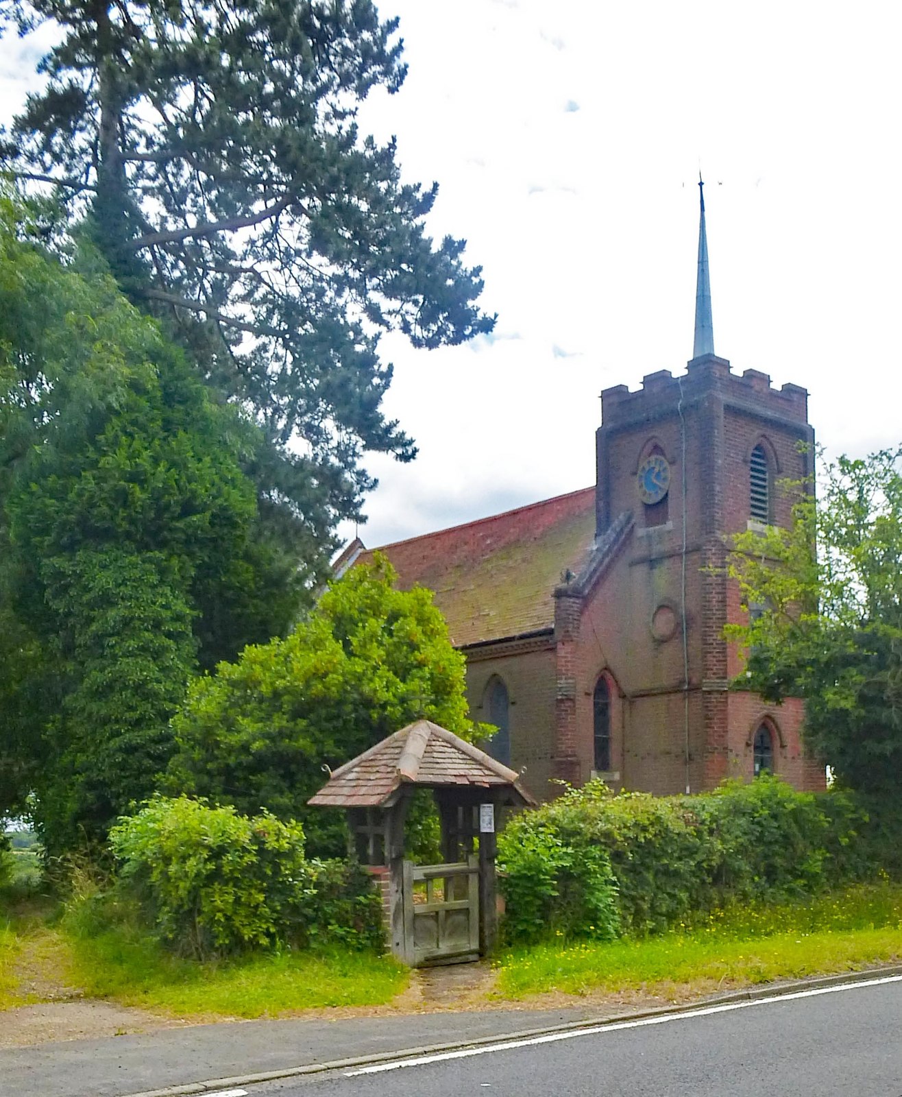
The village itself is characterized by its picturesque cottages made of traditional English brick and timber. The architecture is reminiscent of the area's historical significance, with some buildings dating back to the 16th century. Tyler's Hill is also home to a charming village church, which adds to the village's quaint and idyllic ambiance.
The surrounding landscape is dominated by rolling hills and lush green meadows, making it an ideal location for outdoor enthusiasts. There are numerous walking and hiking trails that wind through the countryside, offering visitors the opportunity to explore the area's natural wonders. The nearby Ashridge Estate is a popular destination for nature lovers, boasting ancient woodlands, open grasslands, and diverse wildlife.
Despite its rural setting, Tyler's Hill benefits from its proximity to larger towns and cities. The market town of Hemel Hempstead is just a short drive away, offering a wide range of amenities including shops, restaurants, and leisure facilities. The village is also well-connected by road, making it easily accessible for both residents and visitors.
In summary, Tyler's Hill is a charming village nestled in the beautiful countryside of Hertfordshire. With its stunning views, historic buildings, and access to nature, it provides a tranquil and idyllic setting for those seeking a peaceful retreat.
If you have any feedback on the listing, please let us know in the comments section below.
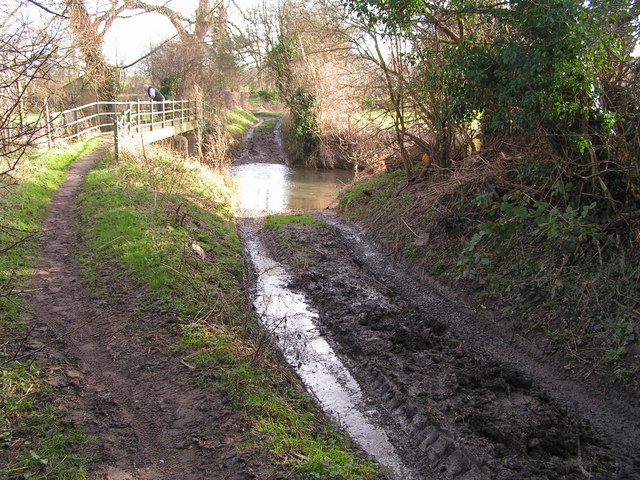
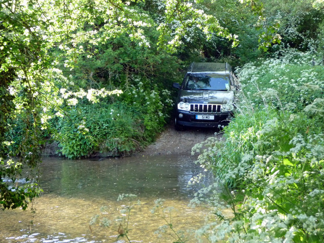
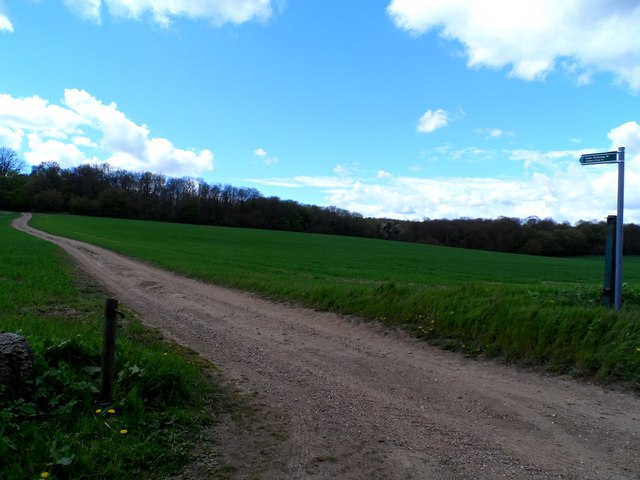
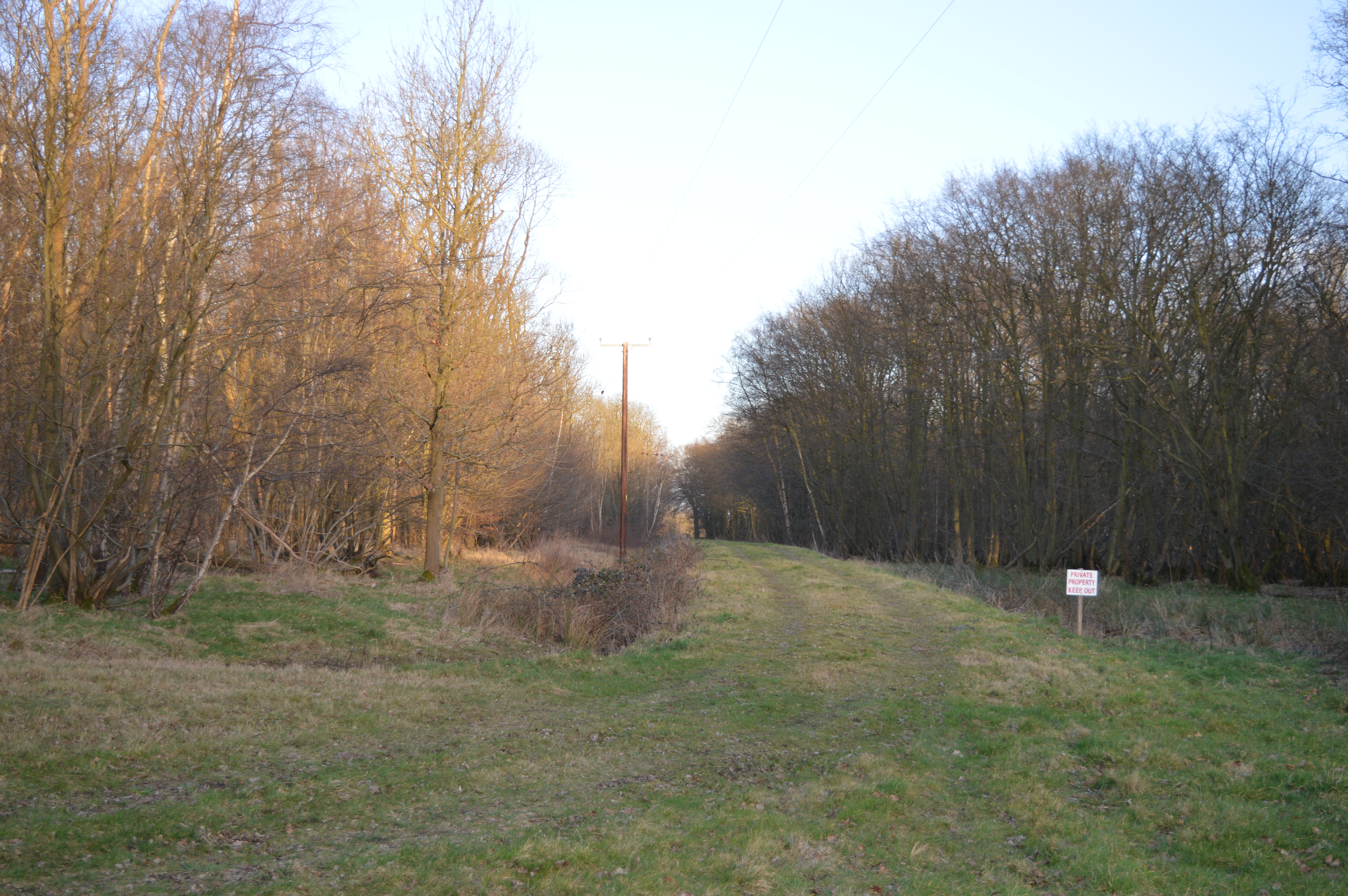
Tyler's Hill Images
Images are sourced within 2km of 51.849658/0.00247141 or Grid Reference TL3818. Thanks to Geograph Open Source API. All images are credited.


Tyler's Hill is located at Grid Ref: TL3818 (Lat: 51.849658, Lng: 0.00247141)
Administrative County: Hertfordshire
District: East Hertfordshire
Police Authority: Hertfordshire
What 3 Words
///coins.tree.visa. Near Puckeridge, Hertfordshire
Nearby Locations
Related Wikis

Barwick, Hertfordshire
Barwick, Great Barwick, and Little Barwick (Berewyk 14th century, and Barrack 19th century) are hamlets in the civil parish of Standon in Hertfordshire...

Youngsbury
Youngsbury House is a Grade II listed house near Wadesmill, Hertfordshire, England. The stable block is Grade II* listed.The house was built in about 1745...
Cold Christmas
Cold Christmas is a small hamlet in the civil parish of Thundridge, in the East Hertfordshire district, in the county of Hertfordshire, England. It is...

High Cross, East Hertfordshire
High Cross is a village in the civil parish of Thundridge, in the East Hertfordshire district, in Hertfordshire, England. It lies upon what was the A10...
Plashes Wood
Plashes Wood is a 71.9-hectare (178-acre) biological Site of Special Scientific Interest south of Standon in Hertfordshire. The local planning authority...

Standon Green End
Standon Green End is a hamlet situated just off the A10 road between Ware and Puckeridge in Hertfordshire. At the 2011 Census the population of the hamlet...
Colliers End
Colliers End is a village in the civil parish of Standon, in the East Hertfordshire district, in Hertfordshire, England. It lies upon what was the A10...
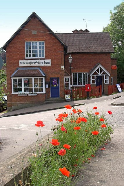
Wadesmill
Wadesmill is a hamlet in Hertfordshire, England, located on the north side of the River Rib, with an estimated population of 264. At the 2011 Census the...
Nearby Amenities
Located within 500m of 51.849658,0.00247141Have you been to Tyler's Hill?
Leave your review of Tyler's Hill below (or comments, questions and feedback).