Idle Hill
Hill, Mountain in Hertfordshire East Hertfordshire
England
Idle Hill
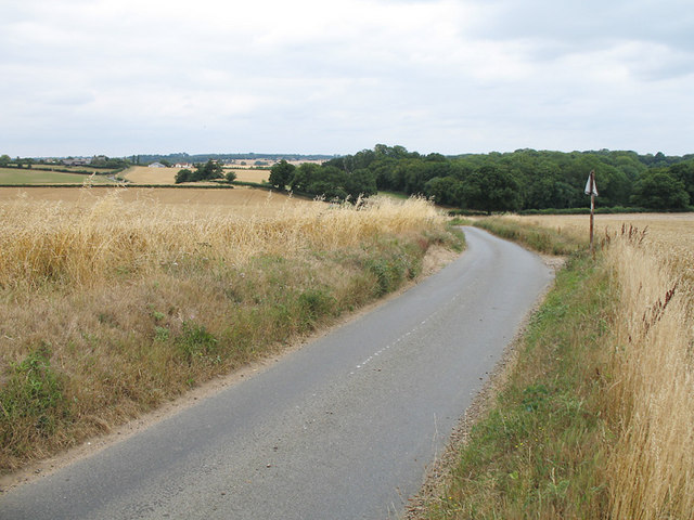
Idle Hill is a modest hill located in Hertfordshire, a county in southern England. Situated in the eastern part of the county, Idle Hill is part of the Chiltern Hills, a picturesque area renowned for its natural beauty. Although it is referred to as a hill, Idle Hill is more accurately described as a small, rounded peak with a gentle slope.
Covered in lush greenery, Idle Hill offers stunning panoramic views of the surrounding landscape. From its summit, visitors can enjoy vistas of rolling hills, verdant valleys, and charming countryside villages. The hill is particularly attractive during the spring and summer months when wildflowers bloom, creating a colorful tapestry across its slopes.
Idle Hill is a popular destination for outdoor enthusiasts and nature lovers. The area is crisscrossed with walking trails and footpaths, inviting visitors to explore its serene surroundings. The hill's accessibility and gentle gradient make it a suitable spot for hikers of all ages and fitness levels.
Aside from its natural beauty, Idle Hill also holds historical significance. It has been a site of human activity for centuries, with evidence of ancient settlements and burial grounds found in the area. Archaeological excavations have unearthed artifacts that shed light on the region's past, adding to its allure for history enthusiasts.
Overall, Idle Hill in Hertfordshire is a tranquil and picturesque location, offering visitors a chance to immerse themselves in the beauty of the Chiltern Hills while also providing a glimpse into the area's rich historical heritage.
If you have any feedback on the listing, please let us know in the comments section below.
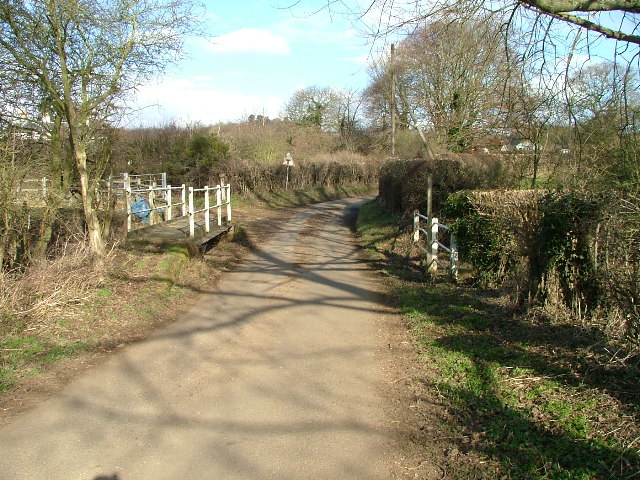
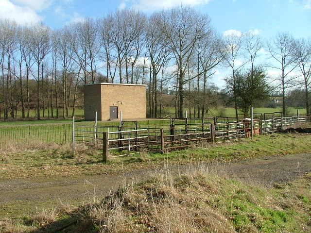
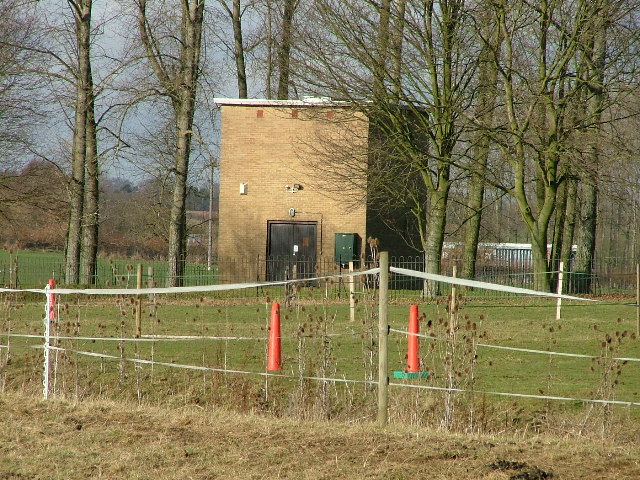
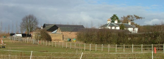
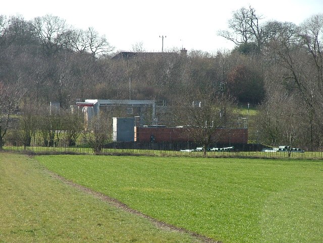
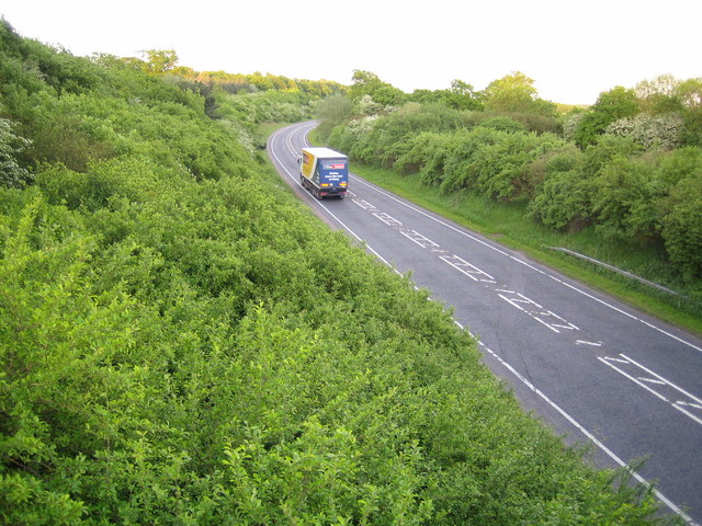
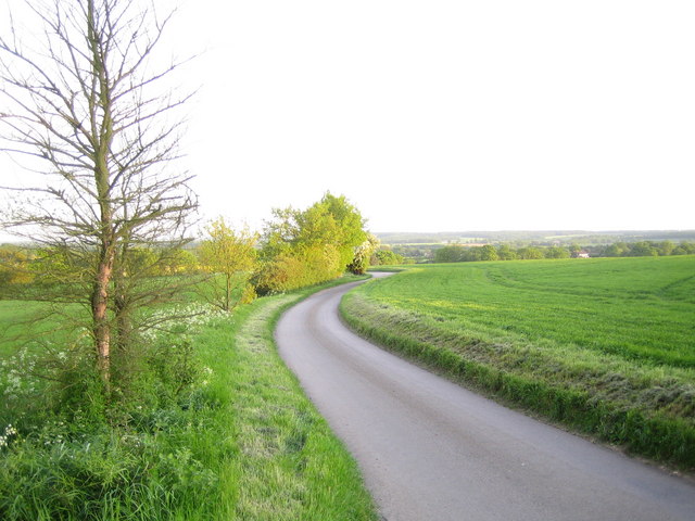
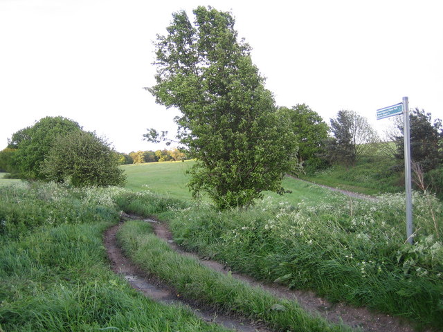
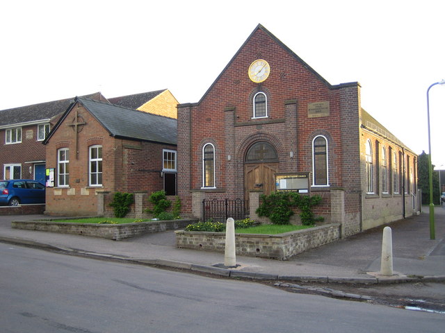
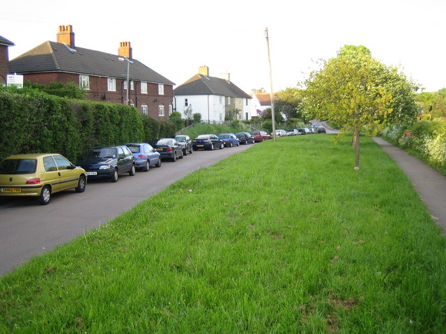
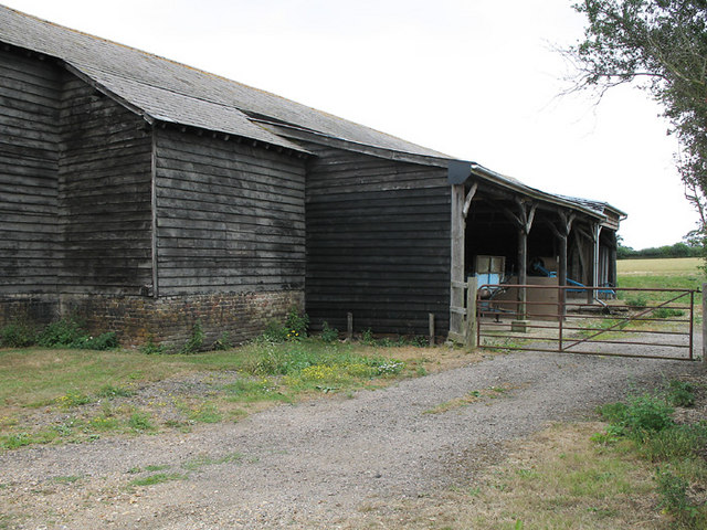
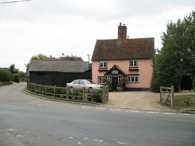
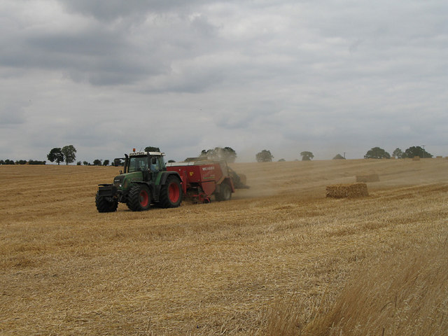
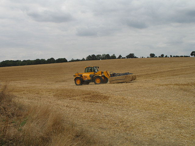
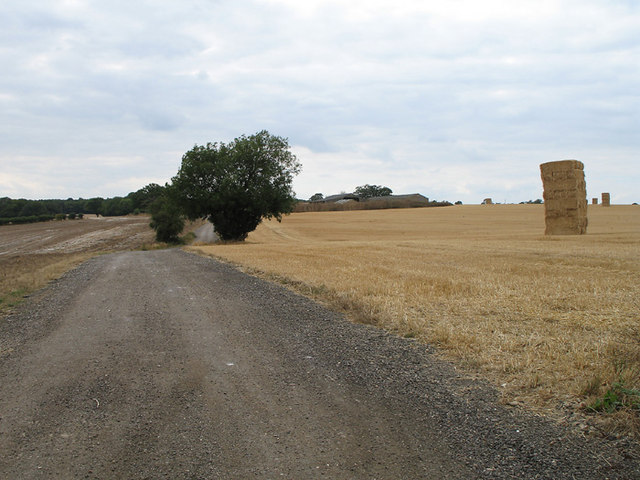
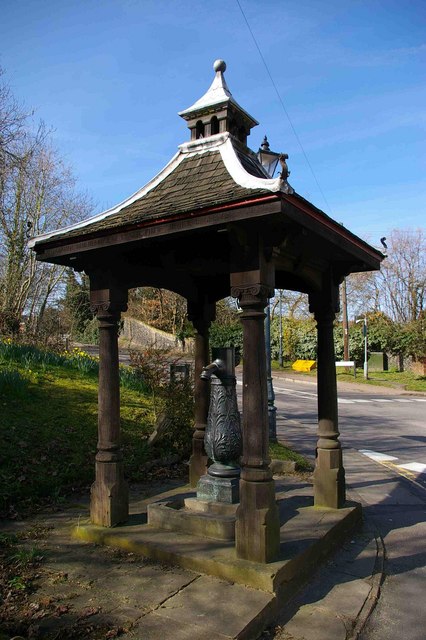
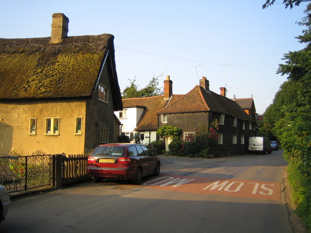
Idle Hill Images
Images are sourced within 2km of 51.879964/-0.10797027 or Grid Reference TL3021. Thanks to Geograph Open Source API. All images are credited.


Idle Hill is located at Grid Ref: TL3021 (Lat: 51.879964, Lng: -0.10797027)
Administrative County: Hertfordshire
District: East Hertfordshire
Police Authority: Hertfordshire
What 3 Words
///doted.herring.goofy. Near Watton at Stone, Hertfordshire
Nearby Locations
Related Wikis

Benington, Hertfordshire
Benington is a village and civil parish in the East Hertfordshire district of Hertfordshire, England, about four miles east of Stevenage and 35 miles north...

Benington Castle
Benington Castle is a ruined castle in the village of Benington, near Stevenage in Hertfordshire, England at grid reference TL296236. It has been protected...

Whempstead
Whempstead is a hamlet in the parish of Watton-at-Stone, situated north of Hertford and to the south-east of Stevenage in Hertfordshire, it is close to...

Benington High Wood
Benington High Wood is a 20.7-hectare (51-acre) biological Site of Special Scientific Interest in Benington, Hertfordshire. The planning authority is East...
Watton-at-Stone
Watton-at-Stone is a village and civil parish in Hertfordshire, England, and is midway between the towns of Stevenage and Hertford in the valley of the...
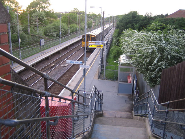
Watton-at-Stone railway station
Watton-at-Stone railway station serves the village of Watton-at-Stone in Hertfordshire, England. It is 23 miles 72 chains (23.90 miles, 38.46 km) down...

Aston Bury
Aston Bury is a manor house near Aston, Hertfordshire, England. It is Grade I listed building.It was built in the mid 17th century, possibly by the Boteler...
Dane End
Dane End is a hamlet to the north of Ware in Hertfordshire, England situated between the A602 and A10. It is within Little Munden civil parish and East...
Nearby Amenities
Located within 500m of 51.879964,-0.10797027Have you been to Idle Hill?
Leave your review of Idle Hill below (or comments, questions and feedback).