Loefield Grove
Wood, Forest in Hertfordshire East Hertfordshire
England
Loefield Grove
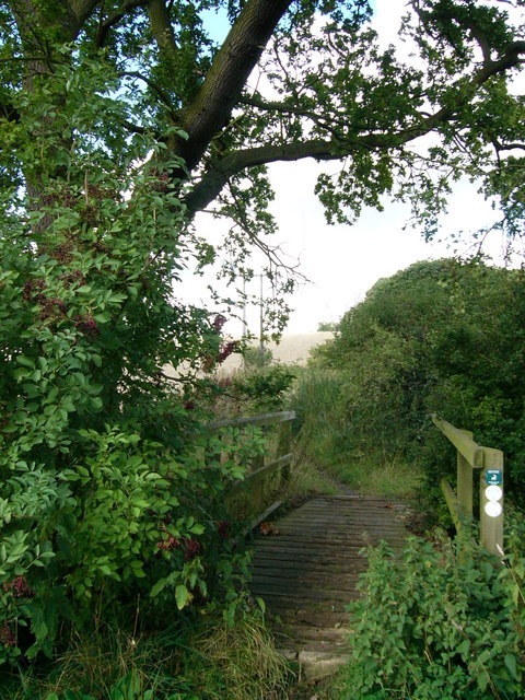
Loefield Grove is a picturesque woodland located in Hertfordshire, England. Situated in the heart of the county, this enchanting forest spans over a vast area, offering a serene and tranquil escape from the bustling city life.
The woodland is predominantly composed of a diverse range of trees, including oak, beech, and pine, which create a dense canopy of foliage, providing shade and shelter for various wildlife species. The forest floor is covered with a lush carpet of ferns, mosses, and wildflowers, adding a vibrant and colorful touch to the surroundings.
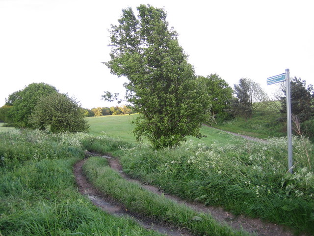
Loefield Grove is a popular destination for nature enthusiasts, hikers, and families seeking outdoor adventures. The extensive network of well-maintained trails meanders through the woods, allowing visitors to explore the forest's natural beauty at their own pace. Along the trails, there are numerous benches strategically placed, inviting visitors to rest and embrace the tranquility of the surroundings.
The forest is home to a diverse array of wildlife, including deer, foxes, and a variety of bird species. Nature lovers can spot this wildlife during their leisurely walks or embark on birdwatching expeditions, taking advantage of the forest's abundant avian population.
Loefield Grove provides a range of recreational activities for visitors. There are designated picnic areas equipped with tables and benches, where families and friends can enjoy a pleasant outdoor meal surrounded by the forest's enchanting ambiance. Additionally, the forest offers designated areas for camping and organized educational programs, allowing visitors to fully immerse themselves in the natural wonders of Loefield Grove.
Overall, Loefield Grove is a charming woodland retreat, offering an escape into nature's embrace while providing a multitude of recreational opportunities for all who visit.
If you have any feedback on the listing, please let us know in the comments section below.
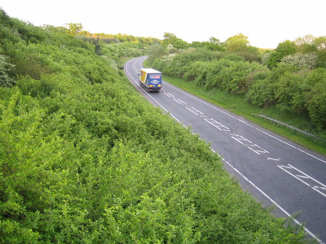
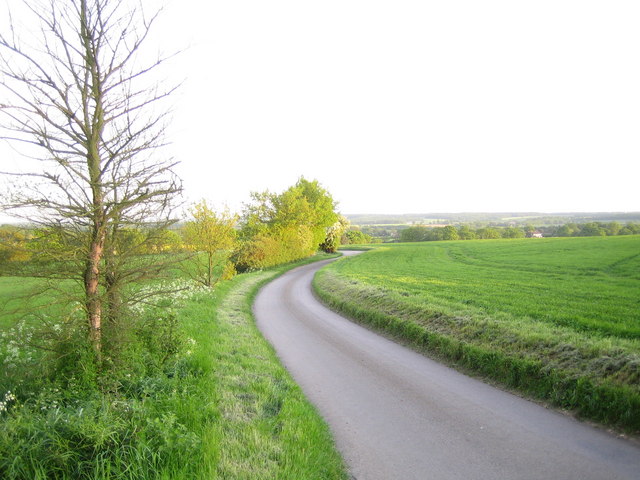
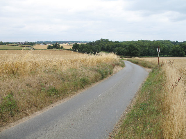
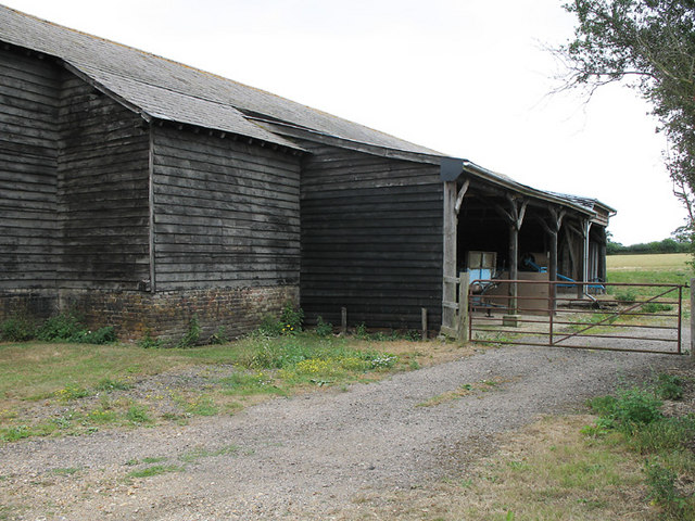
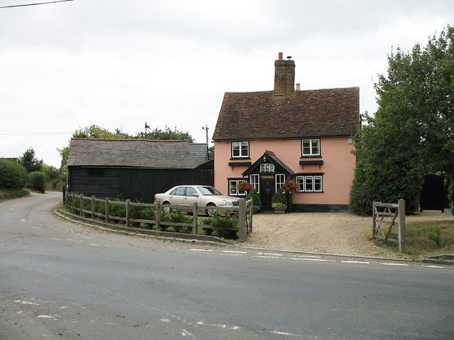
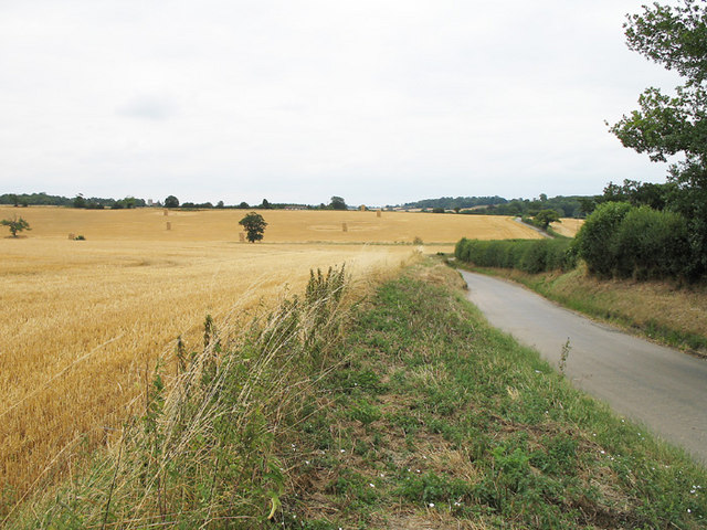
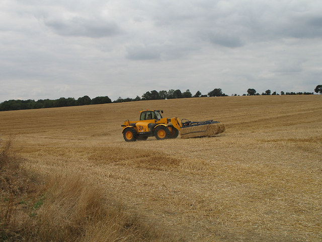
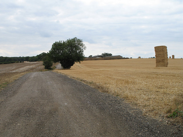
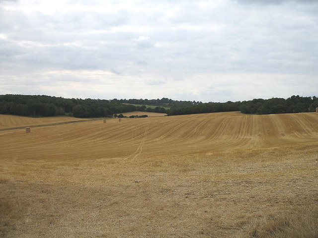
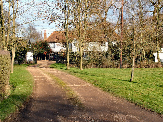
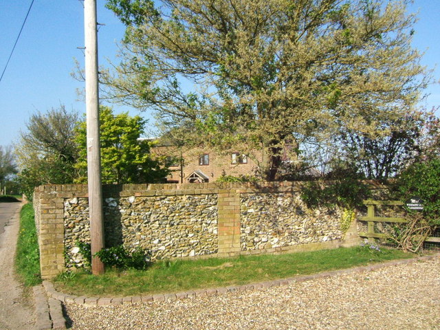
Loefield Grove Images
Images are sourced within 2km of 51.876211/-0.10270892 or Grid Reference TL3021. Thanks to Geograph Open Source API. All images are credited.


Loefield Grove is located at Grid Ref: TL3021 (Lat: 51.876211, Lng: -0.10270892)
Administrative County: Hertfordshire
District: East Hertfordshire
Police Authority: Hertfordshire
What 3 Words
///lifelong.clouding.pinch. Near Watton at Stone, Hertfordshire
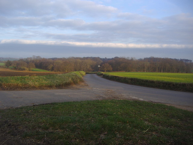
Nearby Locations
Related Wikis

Whempstead
Whempstead is a hamlet in the parish of Watton-at-Stone, situated north of Hertford and to the south-east of Stevenage in Hertfordshire, it is close to...
Watton-at-Stone
Watton-at-Stone is a village and civil parish in Hertfordshire, England, and is midway between the towns of Stevenage and Hertford in the valley of the...

Benington, Hertfordshire
Benington is a village and civil parish in the East Hertfordshire district of Hertfordshire, England, about four miles east of Stevenage and 35 miles north...

Benington Castle
Benington Castle is a ruined castle in the village of Benington, near Stevenage in Hertfordshire, England at grid reference TL296236. It has been protected...
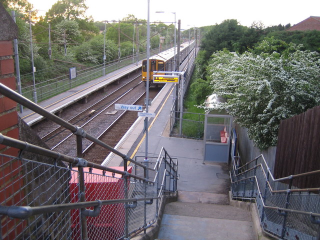
Watton-at-Stone railway station
Watton-at-Stone railway station serves the village of Watton-at-Stone in Hertfordshire, England. It is 23 miles 72 chains (23.90 miles, 38.46 km) down...
Dane End
Dane End is a hamlet to the north of Ware in Hertfordshire, England situated between the A602 and A10. It is within Little Munden civil parish and East...

Heath Mount School
Heath Mount School is a Church of England co-educational independent prep school near Watton-at-Stone, Hertfordshire, England. It admits pupils aged 3...
Woodhall Park
Woodhall Park is a Grade I listed country house near Watton-at-Stone, Hertfordshire, England. The 18th century neo-classical building is set in a walled...
Nearby Amenities
Located within 500m of 51.876211,-0.10270892Have you been to Loefield Grove?
Leave your review of Loefield Grove below (or comments, questions and feedback).