Bunkers Hill
Hill, Mountain in Hertfordshire East Hertfordshire
England
Bunkers Hill
Bunkers Hill, located in Hertfordshire, England, is a small hill that forms part of the Chiltern Hills range. Situated near the village of Aldbury, Bunkers Hill boasts an elevation of approximately 260 meters (850 feet) above sea level, making it a prominent landmark in the area.
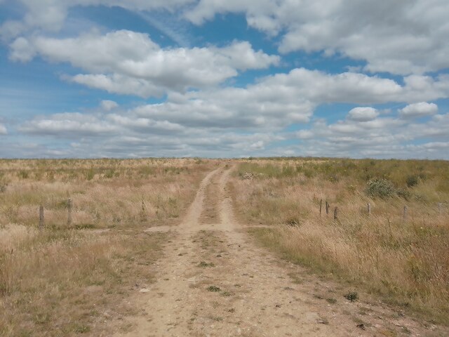
The hill is known for its picturesque views, offering visitors a panoramic vista of the surrounding countryside. On a clear day, one can catch sight of the charming village of Aldbury nestled amidst rolling green hills, as well as glimpses of the nearby Ashridge Estate and the Ashridge Forest.
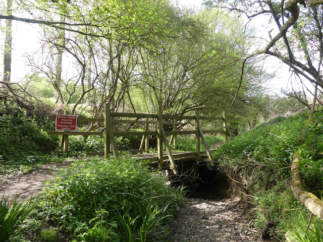
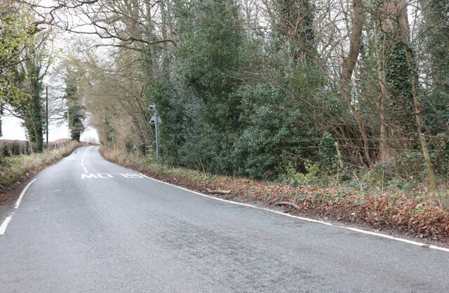
Bunkers Hill is a popular destination for outdoor enthusiasts, thanks to its well-maintained footpaths and bridleways that provide opportunities for walking, hiking, and horse riding. The hill's relatively gentle slopes make it accessible to people of all ages and fitness levels, making it a favored spot for families and casual hikers.
Nature lovers will also appreciate the diverse flora and fauna that can be found on Bunkers Hill. The area is home to a variety of plant species, including wildflowers that bloom in the spring and summer months, adding bursts of color to the landscape. Birdwatchers may spot various avian species, such as red kites and buzzards, soaring above the hill.
Overall, Bunkers Hill offers a tranquil escape from the hustle and bustle of nearby towns and cities, allowing visitors to immerse themselves in the natural beauty of Hertfordshire's countryside. Whether it's for a leisurely stroll, a challenging hike, or simply to enjoy the stunning views, Bunkers Hill provides a serene and scenic experience for all.
If you have any feedback on the listing, please let us know in the comments section below.
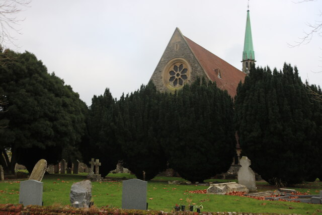
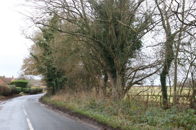
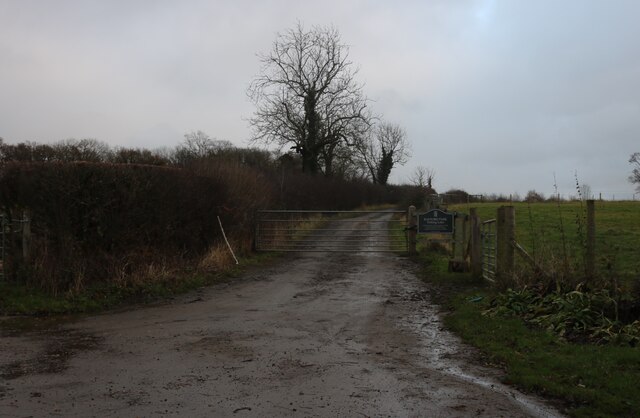
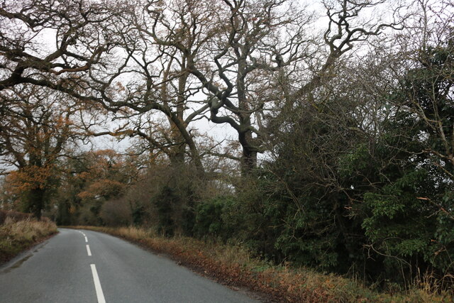
Bunkers Hill Images
Images are sourced within 2km of 51.768942/-0.11544282 or Grid Reference TL3009. Thanks to Geograph Open Source API. All images are credited.


Bunkers Hill is located at Grid Ref: TL3009 (Lat: 51.768942, Lng: -0.11544282)
Administrative County: Hertfordshire
District: East Hertfordshire
Police Authority: Hertfordshire
What 3 Words
///sing.guards.dared. Near Hertford, Hertfordshire
Nearby Locations
Related Wikis

Bayford, Hertfordshire
Bayford is a village and civil parish in the East Hertfordshire district of Hertfordshire, England. According to the 2001 census it had a population of...

Bayfordbury Observatory
Bayfordbury Observatory is the University of Hertfordshire's astronomical and atmospheric physics remote sensing observatory, and one of the largest teaching...
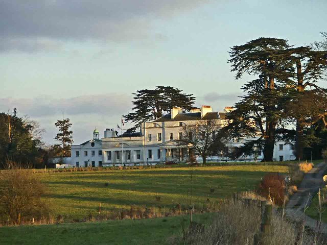
Bayfordbury
Bayfordbury, Hertfordshire, is a large Grade II* listed country house with surrounding parkland, and the location of a University of Hertfordshire campus...

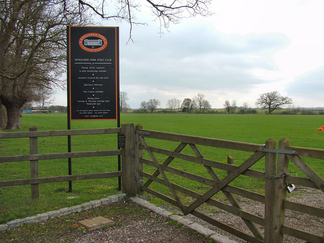
Woolmers Park
Woolmers Park is a Grade II* listed building in Hertfordshire, England. It was the residence of Claude Bowes-Lyon, 14th Earl of Strathmore and Kinghorne...
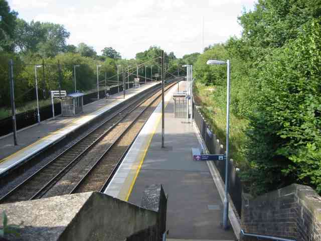
Bayford railway station
Bayford railway station serves the villages of Bayford and Brickendon in Hertfordshire, England. The station is on the Hertford Loop Line, 16 miles 56...

Bayford Brook
Bayford Brook is a minor tributary of the River Lea. It forms in the hills near Bayford, Hertfordshire and joins the River Lea at Horns Mill Weir. The...

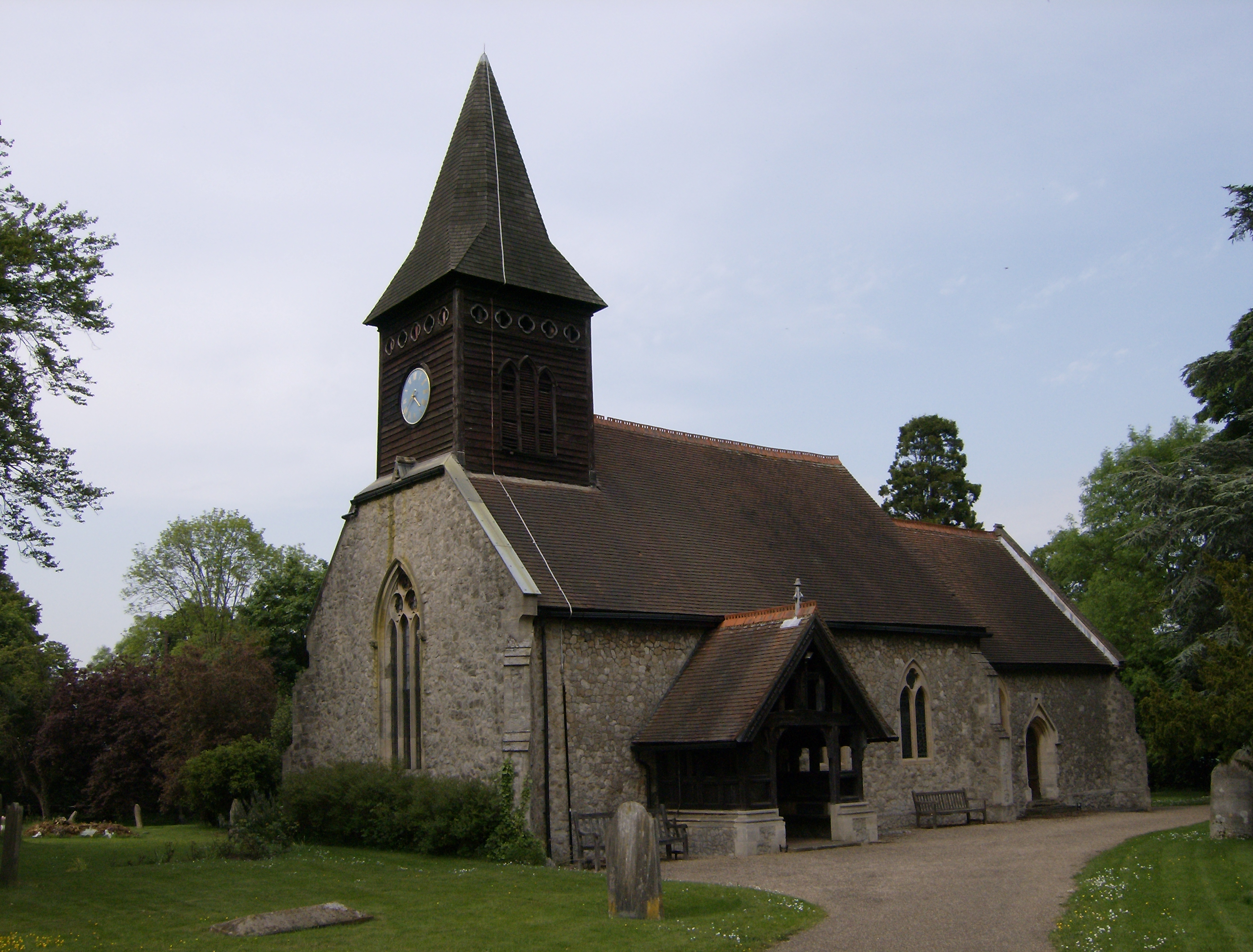
St John's Church, Letty Green
St John's Church, Letty Green, is a deconsecrated Gothic Revival church in Letty Green, Hertfordshire, England. The building was designed by George Fowler...
Little Berkhamsted
Little Berkhamsted is a village and civil parish in Hertfordshire, England, five miles south-west of the town of Hertford. The village is in a hilly location...
Nearby Amenities
Located within 500m of 51.768942,-0.11544282Have you been to Bunkers Hill?
Leave your review of Bunkers Hill below (or comments, questions and feedback).