Redstone Hill
Hill, Mountain in Surrey Reigate and Banstead
England
Redstone Hill

Redstone Hill is a prominent landmark located in the county of Surrey, England. Situated in the southeastern part of the county, it is part of the North Downs, a range of chalk hills that stretches across Surrey and Kent. Rising to an elevation of approximately 215 meters (705 feet), Redstone Hill offers breathtaking panoramic views of the surrounding countryside.
The hill gets its name from the reddish hue of the rocks that form its slopes. These rocks, known as the Hythe Beds, are composed of sandstone and siltstone. Their distinctive color adds to the visual appeal of the hill, especially during sunrise and sunset.
Redstone Hill is a popular destination for outdoor enthusiasts and nature lovers. Its expansive landscape provides ample opportunities for activities such as hiking, walking, and birdwatching. The hill is home to various species of flora and fauna, including rare orchids and butterflies.
The summit of Redstone Hill is marked by a trig point, which serves as a reference point for mapping and surveying. From this vantage point, visitors can enjoy breathtaking views of the surrounding countryside, including the nearby towns of Reigate and Redhill.
Access to Redstone Hill is relatively easy, with several footpaths and trails leading to the summit. The hill is well-connected to nearby towns and villages, making it a popular destination for day-trippers and locals alike.
Overall, Redstone Hill is a picturesque and historically significant landmark, offering visitors a chance to connect with nature and enjoy the beauty of Surrey's countryside.
If you have any feedback on the listing, please let us know in the comments section below.
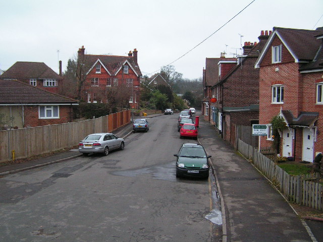
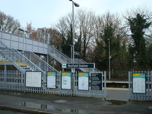
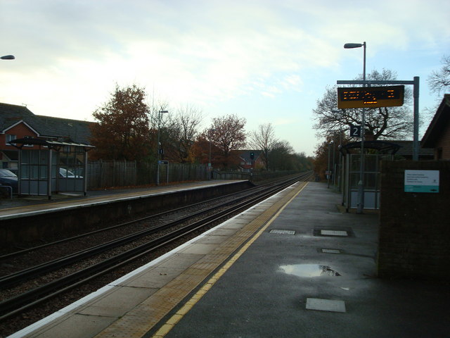
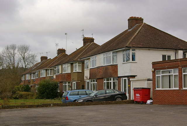
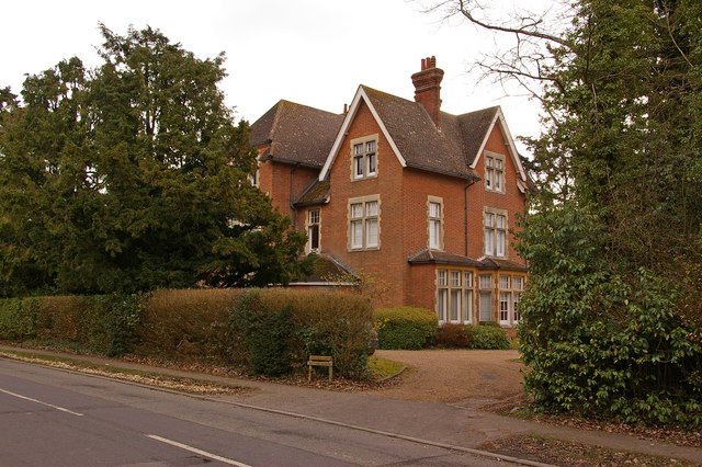
Redstone Hill Images
Images are sourced within 2km of 51.233591/-0.15685187 or Grid Reference TQ2849. Thanks to Geograph Open Source API. All images are credited.


Redstone Hill is located at Grid Ref: TQ2849 (Lat: 51.233591, Lng: -0.15685187)
Administrative County: Surrey
District: Reigate and Banstead
Police Authority: Surrey
What 3 Words
///frogs.alert.sheets. Near Redhill, Surrey
Nearby Locations
Related Wikis
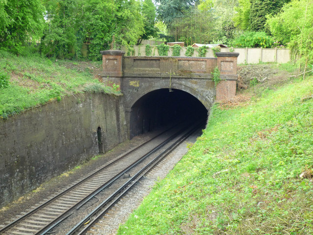
Redhill Tunnel
Redhill Tunnel is a railway tunnel passing under the eastern area of Redhill in Surrey, Great Britain. It is on the 'Quarry Line' section of the Brighton...
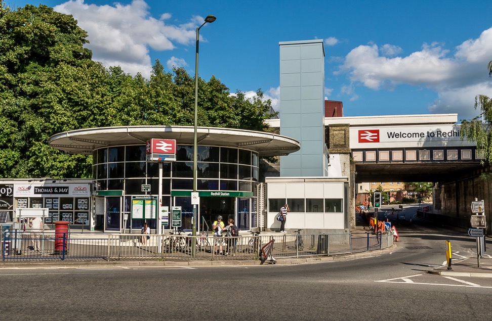
Redhill railway station
Redhill railway station serves the town of Redhill, Surrey, England. The station is a major interchange point on the Brighton Main Line, 22 miles 40 chains...

Carrington School
Carrington School is a coeducational secondary school located in Redhill, Surrey, England.Initially known as The Warwick School, it was founded in September...

Nutfield Priory
Nutfield Priory is a Grade II listed country house in Nutfield, Surrey. It was constructed between 1872 and 1874 by John Gibson. It is now a hotel and...
Nearby Amenities
Located within 500m of 51.233591,-0.15685187Have you been to Redstone Hill?
Leave your review of Redstone Hill below (or comments, questions and feedback).