Barnet
Settlement in Hertfordshire
England
Barnet
Barnet is a suburban town located in the county of Hertfordshire, England. Situated approximately 10 miles northwest of central London, it falls within the London Borough of Barnet and serves as the administrative center for the borough. With a population of around 40,000 people, Barnet has a rich history dating back to the 12th century.
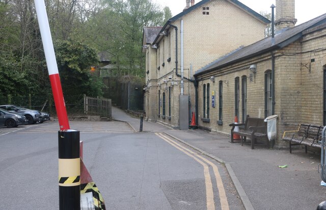
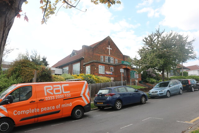
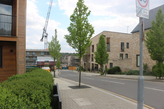
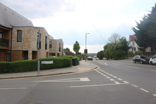
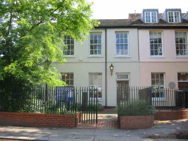
One of the notable features of Barnet is its diverse architecture. The town boasts a range of building styles, from medieval structures like St. John the Baptist Church to modern developments such as the Spires Shopping Centre. The town center is a bustling hub with a variety of shops, cafes, and restaurants, providing a vibrant atmosphere for residents and visitors alike.
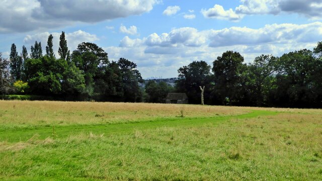
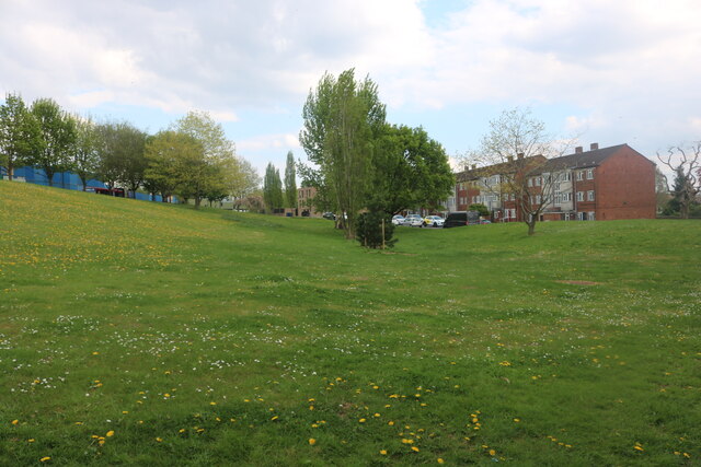
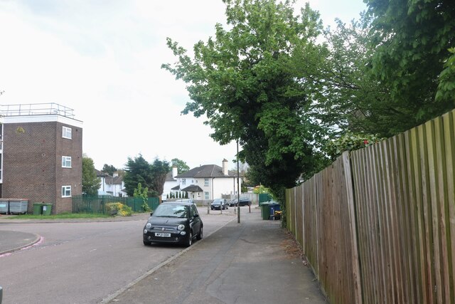
Barnet is also known for its green spaces and natural surroundings. The town is surrounded by several parks and open spaces, including Barnet Playing Fields, King George's Fields, and Monken Hadley Common. The area offers ample opportunities for outdoor activities, such as leisurely strolls, picnics, and sports.
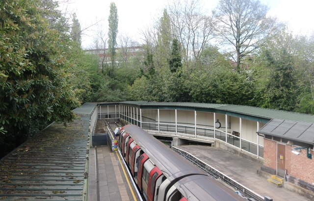
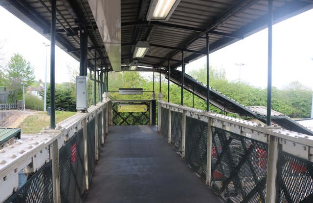
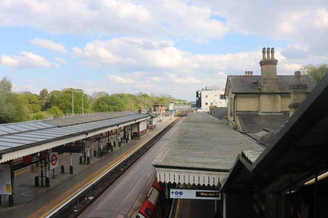
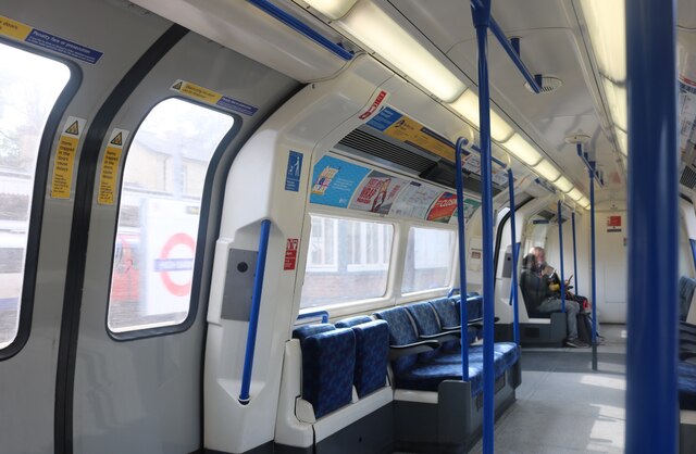
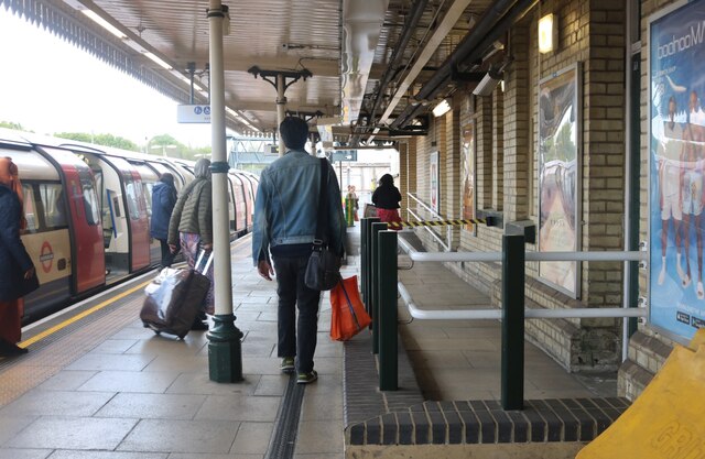
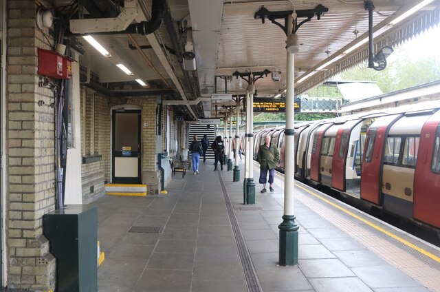
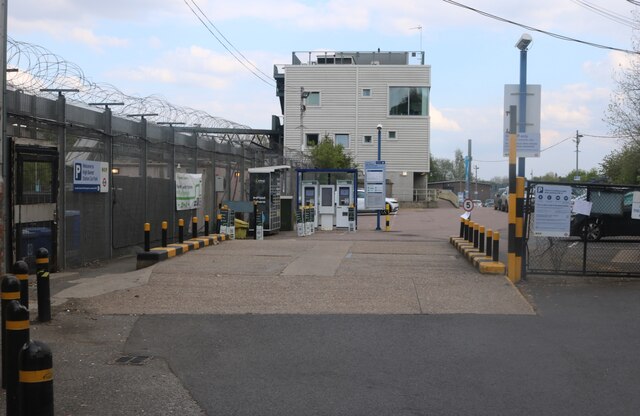
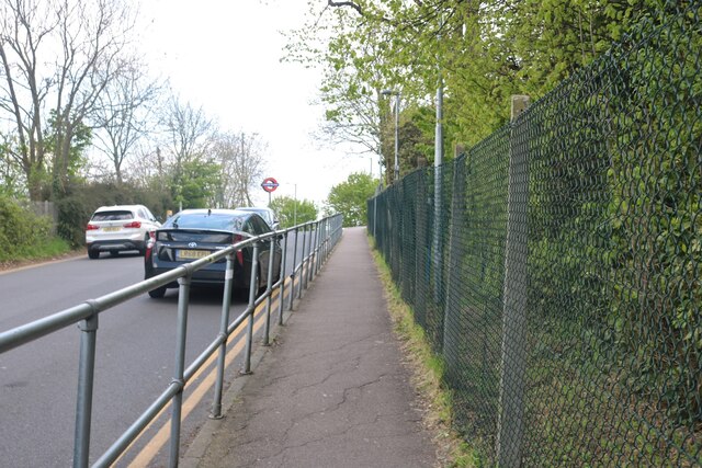
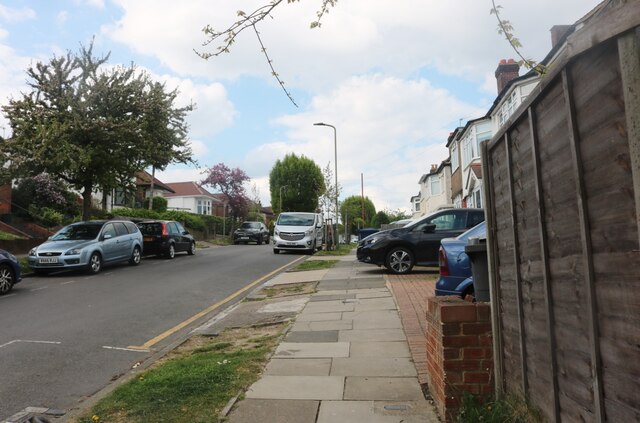
Transport links in Barnet are excellent, making it a popular choice for commuters. The town is well-served by both road and rail networks, with several bus routes connecting it to neighboring towns and London. The Northern Line of the London Underground also runs through Barnet, providing easy access to the city.
In terms of education, Barnet has a range of primary and secondary schools, along with a further education college. The town also has a strong sense of community, with various local organizations and events bringing residents together.
Overall, Barnet offers a mix of history, green spaces, and modern amenities, making it an attractive place to live and visit within the Hertfordshire region.
If you have any feedback on the listing, please let us know in the comments section below.
Barnet Images
Images are sourced within 2km of 51.647337/-0.20338 or Grid Reference TQ2495. Thanks to Geograph Open Source API. All images are credited.
Barnet is located at Grid Ref: TQ2495 (Lat: 51.647337, Lng: -0.20338)
Unitary Authority: Barnet
Police Authority: Metropolitan
What 3 Words
///filled.pits.dairy. Near Barnet, London
Nearby Locations
Related Wikis

Hadley, London
Hadley is a district of the London Borough of Barnet between Chipping Barnet in the south and Monken Hadley in the north. It was formerly a civil parish...

Barnet Urban District
Barnet was a local government district in south Hertfordshire from 1863 to 1965 around the town of Barnet. == Creation == Barnet Local Government District...

Chipping Barnet
Chipping Barnet or High Barnet is a suburban market town in north London, forming part of the London Borough of Barnet, England. It is a suburban development...

Old Court House Recreation Ground
Old Court House Recreation Ground is a public park in High Barnet in the London Borough of Barnet. It is one of the borough's Premier Parks and received...

53 Wood Street
53 Wood Street is a grade II listed house at Wood Street in the market town of Chipping Barnet, a northern suburb of London in the United Kingdom. The...
Barnet Museum
Barnet Museum is in the London Borough of Barnet. It has displays on topics including the Battle of Barnet, Barnet Fair and Barnet Market. It is a centre...

North London Coroner's Court
The North London Coroner's Court is a municipal building located at 29 Wood Street, Chipping Barnet, London. The building, which served as Barnet Town...

Tudor Hall, Chipping Barnet
Tudor Hall in Wood Street, Chipping Barnet, is the original site of Queen Elizabeth's School, Barnet. It was built around 1577 following the granting of...
Nearby Amenities
Located within 500m of 51.647337,-0.20338Have you been to Barnet?
Leave your review of Barnet below (or comments, questions and feedback).