Howell Hill

Hill, Mountain in Surrey Epsom and Ewell

England

Howell Hill

Window cleaning Windows being cleaned at the Hall.
Window cleaning Credit: Jay Pea

Howell Hill is a prominent hill located in Surrey, England. Standing at an elevation of 242 meters (794 feet), it is part of the North Downs, a range of hills in southern England. Howell Hill is situated near the town of Dorking and is a popular destination for outdoor enthusiasts and nature lovers.

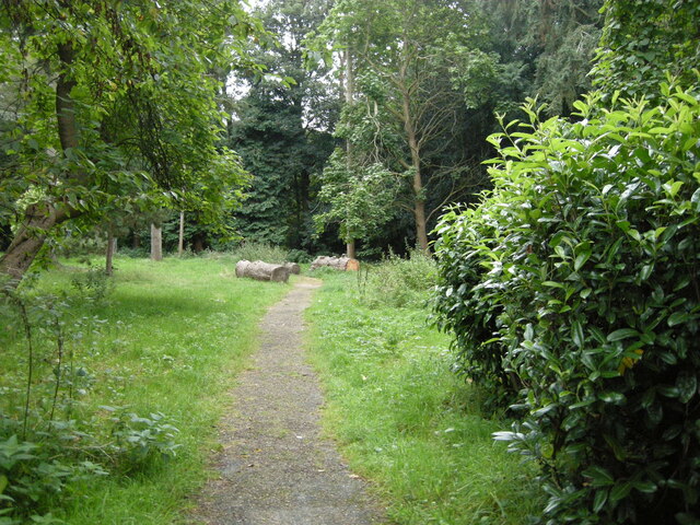
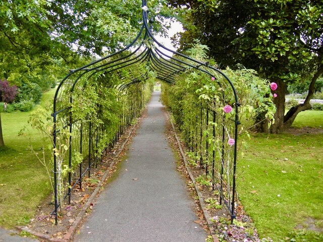
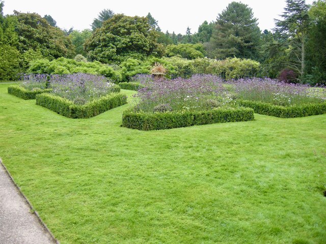
The hill is characterized by its rolling landscape, covered in lush greenery and dotted with a variety of trees, including beech and oak. It offers breathtaking panoramic views of the surrounding countryside, with glimpses of the nearby Surrey Hills Area of Outstanding Natural Beauty.

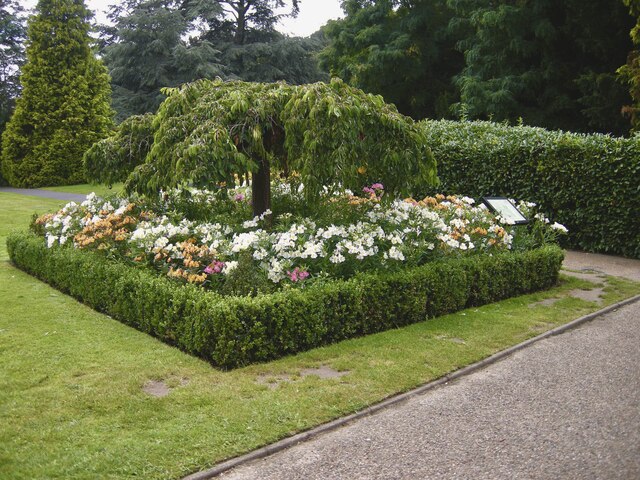
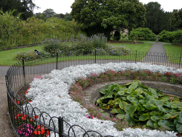
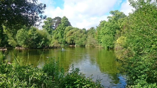
Howell Hill is a haven for wildlife, providing a habitat for numerous species of birds, mammals, and insects. It is particularly renowned for its butterfly population, attracting enthusiasts who come to observe and study these delicate creatures. The hill is also home to various wildflowers, adding bursts of color to its picturesque scenery.

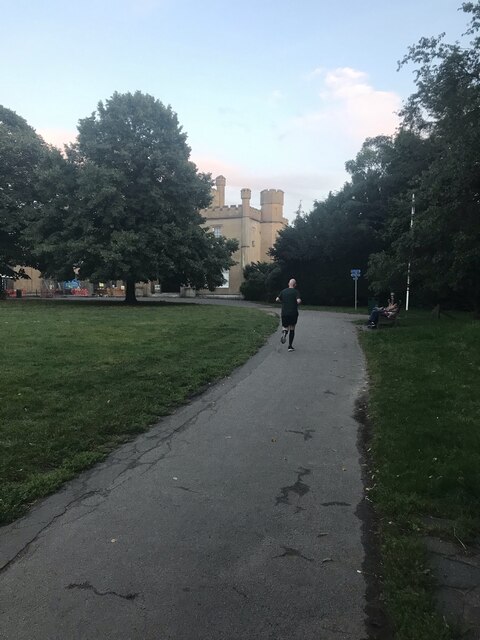
The hill is crisscrossed by several footpaths and trails, making it an ideal location for walking, hiking, and cycling. These routes cater to different abilities and offer a chance to explore the diverse flora and fauna that inhabit the area. The tranquil setting of Howell Hill provides a perfect escape from the hustle and bustle of everyday life, allowing visitors to immerse themselves in nature and enjoy the peace and serenity it offers.

Overall, Howell Hill in Surrey is a breathtaking natural landscape, offering magnificent views, diverse wildlife, and a range of outdoor activities for visitors to enjoy.

If you have any feedback on the listing, please let us know in the comments section below.
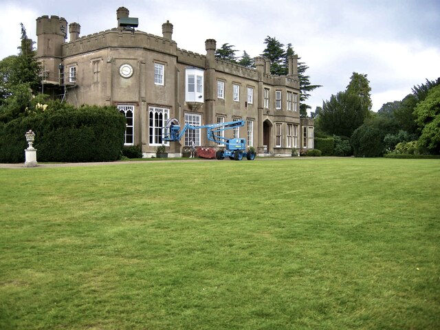
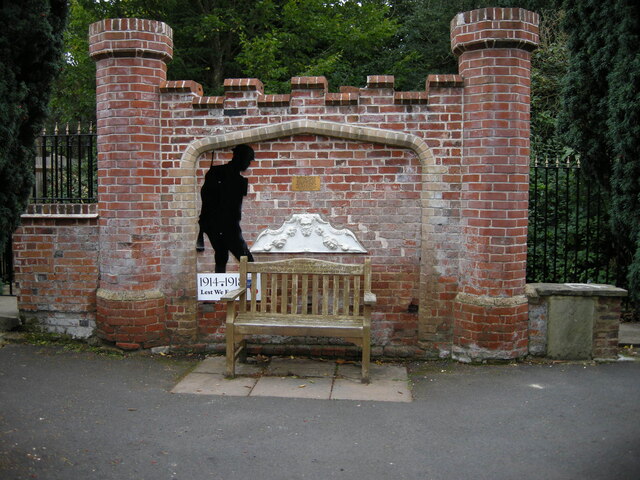
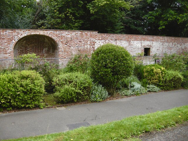
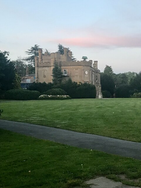
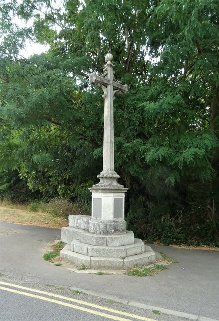
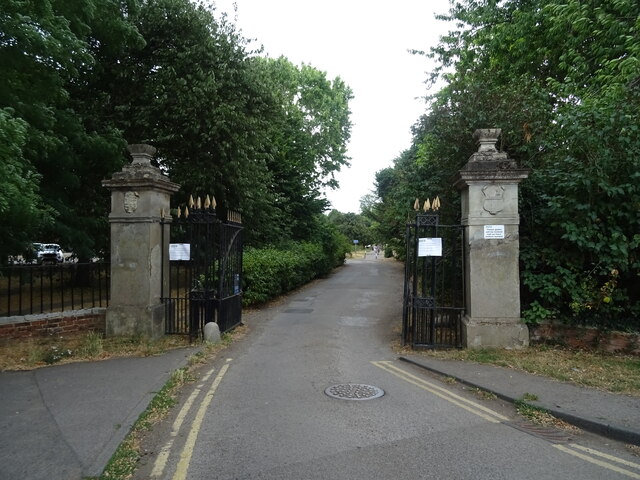
Howell Hill Images

Images are sourced within 2km of 51.34545/-0.23074009 or Grid Reference TQ2362. Thanks to Geograph Open Source API. All images are credited.

Window cleaning Windows being cleaned at the Hall.
Window cleaning
Windows being cleaned at the Hall.
Tribute Memorial A memorial to the staff of Nonsuch who lost their lives in the Great War.
Tribute Memorial
A memorial to the staff of Nonsuch who lost their lives in the Great War.
Remains of glasshouses Only the walls remain of the glass house at Nonsuch Hall.
Remains of glasshouses
Only the walls remain of the glass house at Nonsuch Hall.
Evening at Nonsuch Early evening photo at Nonsuch Hall.
Evening at Nonsuch
Early evening photo at Nonsuch Hall.
Evening Exercise A jogger using the paths at Nonsuch Park.
Evening Exercise
A jogger using the paths at Nonsuch Park.
Nonsuch Mansion The rear of the Mansion from the car park, with renovation work taking place.
Nonsuch Mansion
The rear of the Mansion from the car park, with renovation work taking place.
Formal Garden One of the many attractive borders, although late in the season still colourful.
Formal Garden
One of the many attractive borders, although late in the season still colourful.
The Pinetum One of the paths through the Pinetum with a recently felled tree.
The Pinetum
One of the paths through the Pinetum with a recently felled tree.
The Rosewalk Very attractive arched walkway with scented roses.
The Rosewalk
Very attractive arched walkway with scented roses.
Formal pond Lily pond and Magpie.
Formal pond
Lily pond and Magpie.
Formal borders Well maintained borders with box and lavender plants.
Formal borders
Well maintained borders with box and lavender plants.
Watch House, Ewell Lock up and fire engine shelter dating back to 1770.

<span class="nowrap"><a title="https://www.prisonhistory.org/lockup/ewell-lock-up/" rel="nofollow ugc noopener" href="https://www.prisonhistory.org/lockup/ewell-lock-up/">Link</a><img style="margin-left:2px;" alt="External link" title="External link - shift click to open in new window" src="https://s1.geograph.org.uk/img/external.png" width="10" height="10"/></span>
Watch House, Ewell
Lock up and fire engine shelter dating back to 1770. LinkExternal link
Bourne Hall Lake
Bourne Hall Lake
Column at entrance to Nonsuch Park See <a href="https://www.geograph.org.uk/photo/3613706">TQ2263 : Column at entrance to Nonsuch Park</a> for description.
Column at entrance to Nonsuch Park
Gateway to Nonsuch Park
Houses on London Road (A24)
London Road (A24), Ewell
Service station on London Road (A24), Ewell Petrol 187.9p
Diesel 195.9p.
Service station on London Road (A24), Ewell
Petrol 187.9p Diesel 195.9p.
Show me another place!

Howell Hill is located at Grid Ref: TQ2362 (Lat: 51.34545, Lng: -0.23074009)

Administrative County: Surrey

District: Epsom and Ewell

Police Authority: Surrey

What 3 Words

///times.taker.test. Near Ewell, Surrey

Related Wikis

Howell Hill

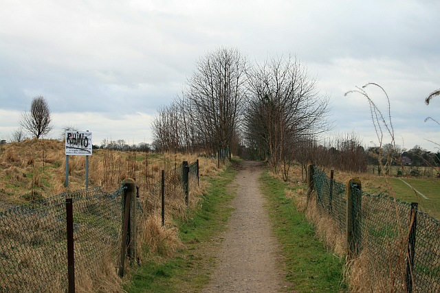
Howell Hill is a 5-hectare (12-acre) nature reserve east of Ewell in Surrey. It is owned by Surrey County Council and managed by the Surrey Wildlife Trust...

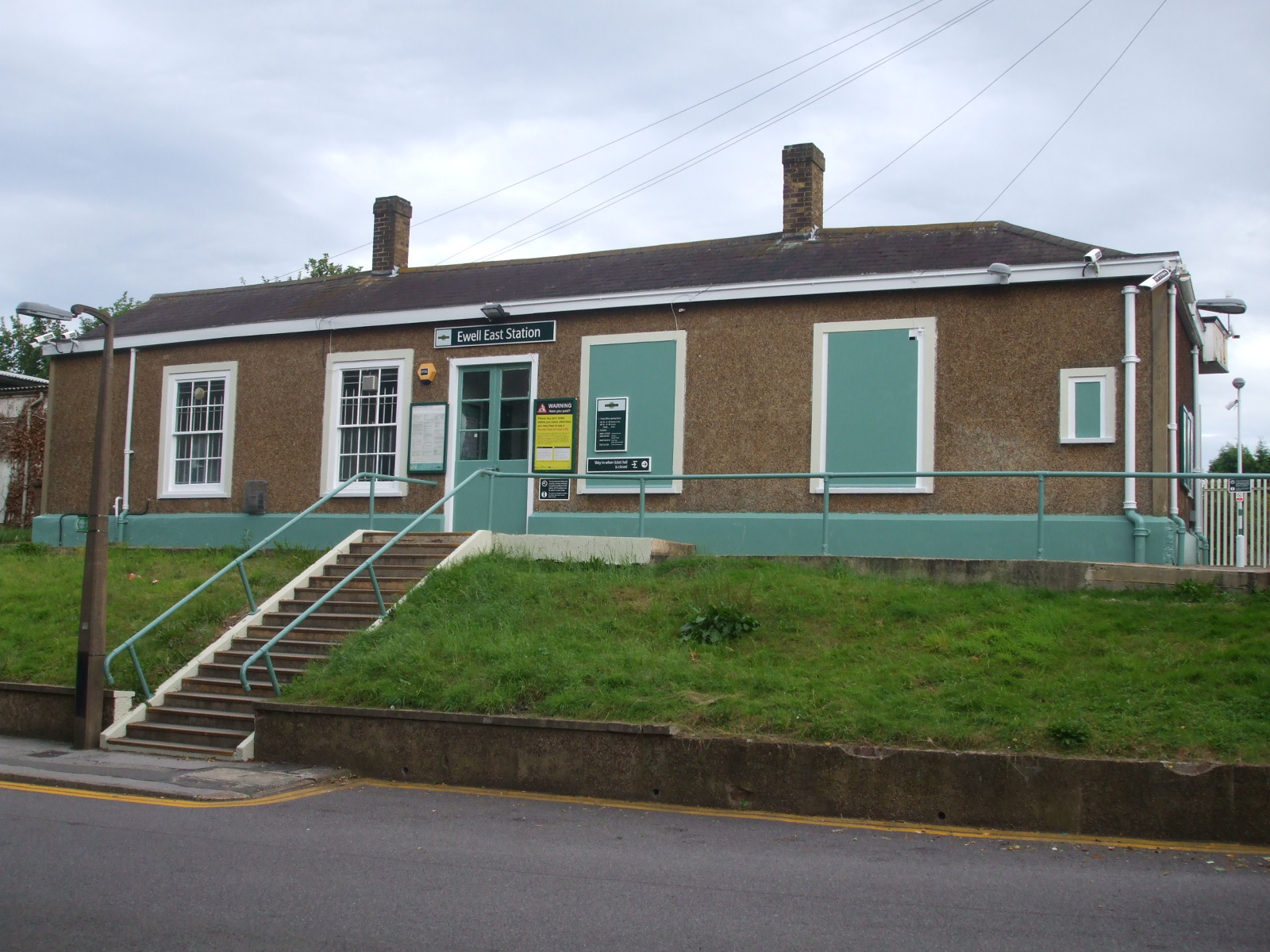
Ewell East railway station

Ewell East is one of two stations serving the town of Ewell in Surrey, England. It has two platforms, one for services to Sutton, West Croydon and London...

Priest Hill

Priest Hill is a 35-hectare (86-acre) nature reserve on the eastern outskirts of Ewell, near Epsom in north Surrey. It is managed by the Surrey Wildlife...

North East Surrey College of Technology

The North East Surrey College Of Technology (NESCOT) is a large further education and higher education college in Epsom and Ewell, Surrey, England that...

Nearby Amenities

Located within 500m of 51.34545,-0.23074009
Turning Circle
Lat/Long: 51.3428413/-0.2310978
Turning Circle
Diameter: 14
Lat/Long: 51.3489875/-0.2290455
Turning Circle
Lat/Long: 51.3434854/-0.2316207
Crossing
Lat/Long: 51.346173/-0.2265729
Place Of Worship
Created By: Potlatch 0.8a
Denomination: jehovahs_witness
Religion: christian
Lat/Long: 51.3430624/-0.2358113
Post Box
Collection Times: Mo-Fr 09:00, Sa 07:00
Operator: Royal Mail
Post Box Mounting: tree
Post Box Type: lamp
Ref: KT17 94D
Royal Cypher: EIIR
Royal Cypher Wikidata: Q33102113
Lat/Long: 51.344896/-0.2331411
Turning Circle
Lat/Long: 51.3443038/-0.2298166
Crossing
Bicycle: yes
Crossing Island: yes
Crossing Markings: no
Lat/Long: 51.3455016/-0.237288
Post Box
Collection Times: Mo-Fr 16:45; Sa 11:30
Operator: Royal Mail
Post Box Type: pillar
Ref: SM2 273
Royal Cypher: GVIR
Royal Cypher Wikidata: Q33102169
Lat/Long: 51.3459436/-0.2281491
Bus Stop
Albury Avenue
Naptan AtcoCode: 40004406047A
Naptan Bearing: NE
Naptan CommonName: Albury Avenue
Naptan Indicator: Just after
Naptan Landmark: Albury Avenue
Naptan NaptanCode: surajpat
Naptan Street: Cheam Road
Naptan Verified: no
Public Transport: platform
Source: naptan_import
Lat/Long: 51.3456932/-0.2281159
Bus Stop
Albury Avenue
Naptan AtcoCode: 40004406047B
Naptan Bearing: SW
Naptan CommonName: Albury Avenue
Naptan Indicator: Just Before
Naptan Landmark: Albury Avenue
Naptan NaptanCode: surajpaw
Naptan Street: Cheam Road
Naptan Verified: no
Public Transport: platform
Source: naptan_import
Lat/Long: 51.3457102/-0.2275993
Bus Stop
Springfield Road
Naptan AtcoCode: 40004406103A
Naptan Bearing: W
Naptan CommonName: Springfield Road
Naptan Indicator: Just after
Naptan Landmark: Springfield Road
Naptan NaptanCode: suramadj
Naptan Street: Cheam Road
Naptan Verified: no
Public Transport: platform
Source: naptan_import
Lat/Long: 51.3450307/-0.2340232
Bus Stop
Springfield Road
Naptan AtcoCode: 40004406103B
Naptan Bearing: E
Naptan CommonName: Springfield Road
Naptan Indicator: Just Before
Naptan Landmark: Springfield Road
Naptan NaptanCode: suramadm
Naptan Street: Cheam Road
Naptan Verified: no
Public Transport: platform
Source: naptan_import
Lat/Long: 51.3451203/-0.2337966
Turning Circle
Lat/Long: 51.3431787/-0.2324249
Give Way
Direction: backward
Lat/Long: 51.3450528/-0.2332516
Give Way
Direction: backward
Lat/Long: 51.3455813/-0.2375339
Give Way
Direction: forward
Lat/Long: 51.3453056/-0.2363687
Give Way
Direction: backward
Lat/Long: 51.3449362/-0.2330193
Give Way
Lat/Long: 51.3438996/-0.2355351
Give Way
Lat/Long: 51.3490256/-0.2309438
Power: substation
Substation: minor_distribution
Lat/Long: 51.3467617/-0.2348531
Give Way
Lat/Long: 51.3421312/-0.2341653
Post Box
Collection Times: Mo-Fr 16:45; Sa 11:30
Operator: Royal Mail
Post Box Type: pillar
Ref: SM2 276
Royal Cypher: GVIR
Royal Cypher Wikidata: Q33102169
Lat/Long: 51.3476148/-0.2340992
Crossing
Crossing Island: yes
Crossing Markings: no
Tactile Paving: yes
Lat/Long: 51.3452769/-0.2363716
Kindergarten
Little Fishes Preschool
Addr City: Cheam, Surrey
Addr Housename: Little Fishes Pre-School, St Paul’s Church Centre
Addr Housenumber: 15
Addr Postcode: SM2 7HS
Addr Street: Northey Avenue
Operator: St. Pauls Howell Hill
Phone: 07968 192246
Preschool: yes
Website: https://www.littlefishespreschoolcheam.org.uk/
Lat/Long: 51.3461888/-0.2259288
The data included in this document is from www.openstreetmap.org. The data is made available under ODbL.

Have you been to Howell Hill?

Leave your review of Howell Hill below (or comments, questions and feedback).