East Ewell
Settlement in Surrey Epsom and Ewell
England
East Ewell
East Ewell is a residential area located in the county of Surrey, England. It is situated approximately 15 miles south-west of central London and is part of the borough of Epsom and Ewell. East Ewell is bordered by the adjacent areas of Ewell, Epsom, and Stoneleigh.
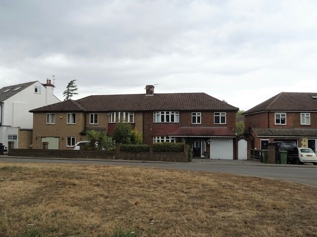
Known for its peaceful and suburban atmosphere, East Ewell primarily consists of detached and semi-detached houses, as well as a few apartment buildings. The area is predominantly residential, with a mix of properties ranging from modern constructions to more traditional houses. It attracts a diverse population, including families, professionals, and retirees.
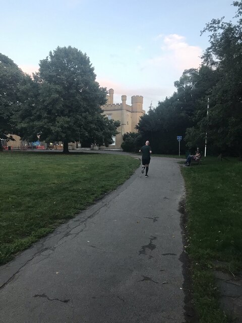
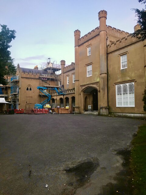
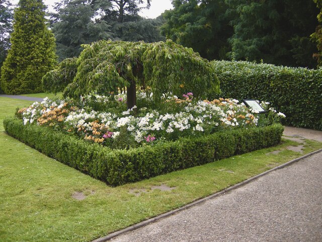
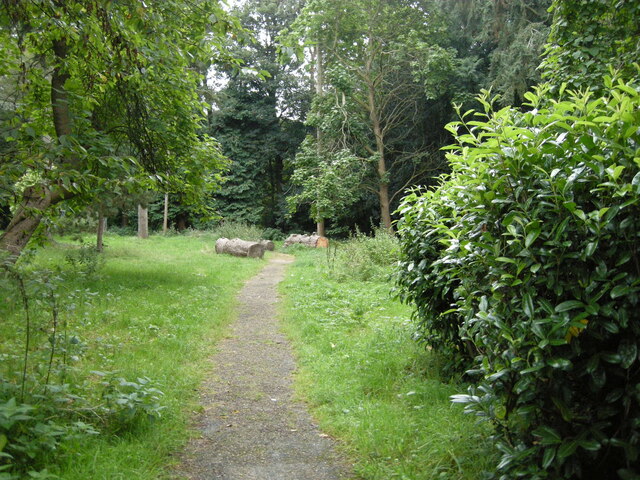
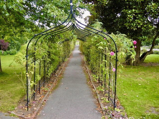
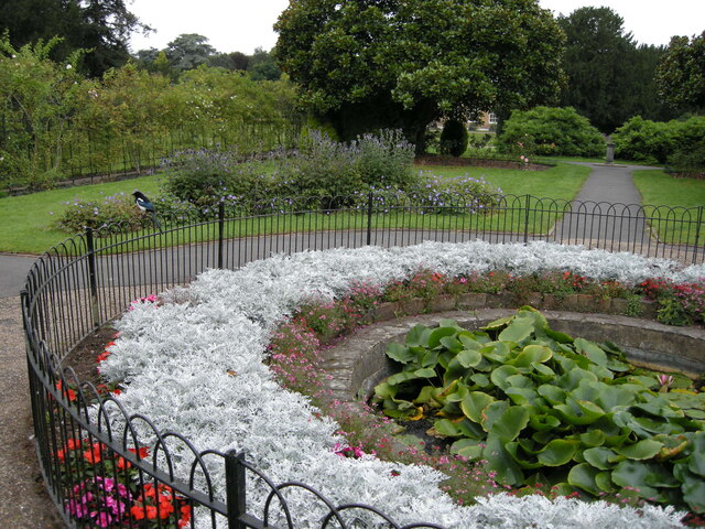
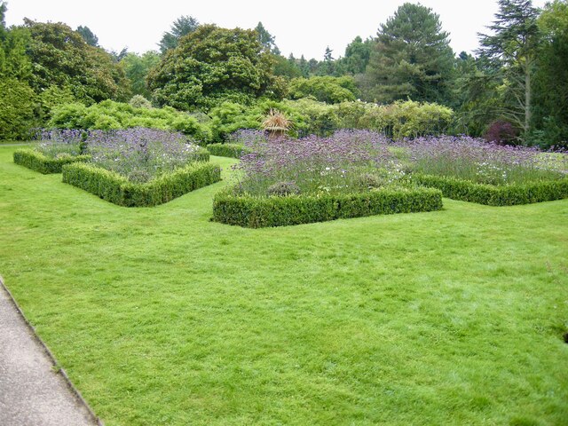
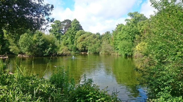
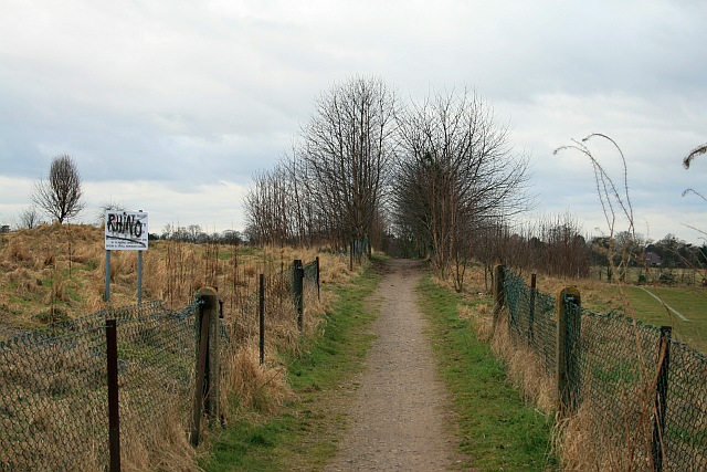
East Ewell benefits from its proximity to various green spaces and recreational areas. Nonsuch Park, a vast historical park spanning over 300 acres, is located nearby and offers picturesque landscapes, walking trails, and a variety of flora and fauna. The Hogsmill River, which runs through the area, provides a tranquil setting for residents to enjoy nature.
The area is well-served by transportation links, with several bus routes connecting East Ewell to neighboring towns and the nearby Ewell East railway station providing direct access to central London. There are also a number of primary and secondary schools in the vicinity, making it an appealing location for families.
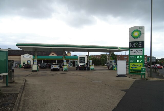
East Ewell offers a range of amenities to its residents, including local shops, supermarkets, and eateries. For more extensive shopping and entertainment options, the nearby town of Epsom provides a wider selection of retail outlets, restaurants, and a cinema.
Overall, East Ewell offers a peaceful and suburban lifestyle, with its convenient location, green spaces, and various amenities making it an attractive place to reside in Surrey.
If you have any feedback on the listing, please let us know in the comments section below.
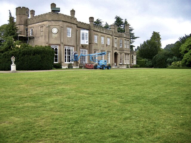
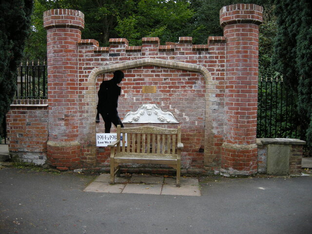
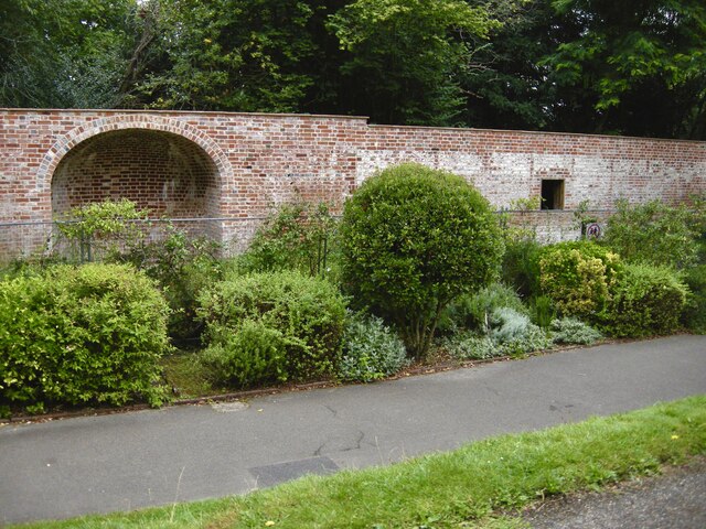
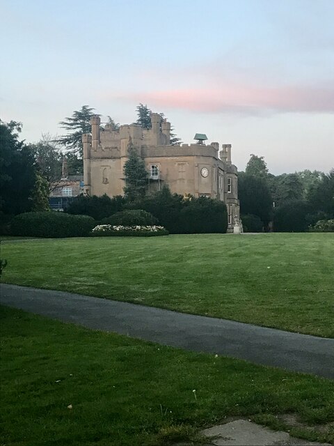
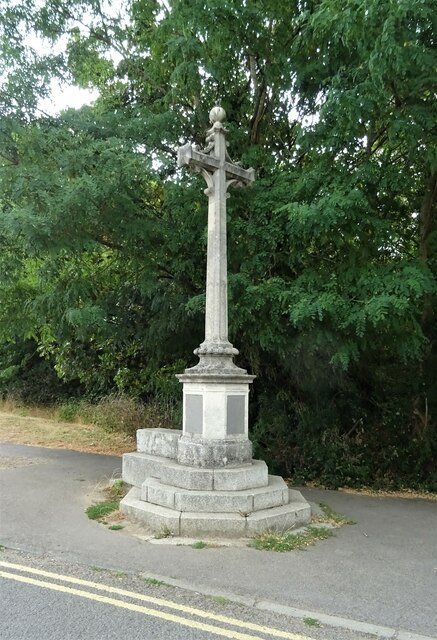
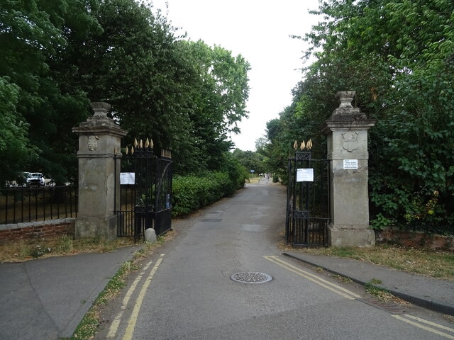
East Ewell Images
Images are sourced within 2km of 51.344788/-0.228162 or Grid Reference TQ2362. Thanks to Geograph Open Source API. All images are credited.


East Ewell is located at Grid Ref: TQ2362 (Lat: 51.344788, Lng: -0.228162)
Administrative County: Surrey
District: Epsom and Ewell
Police Authority: Surrey
What 3 Words
///vase.liability.among. Near Ewell, Surrey
Nearby Locations
Related Wikis

Howell Hill
Howell Hill is a 5-hectare (12-acre) nature reserve east of Ewell in Surrey. It is owned by Surrey County Council and managed by the Surrey Wildlife Trust...
Priest Hill
Priest Hill is a 35-hectare (86-acre) nature reserve on the eastern outskirts of Ewell, near Epsom in north Surrey. It is managed by the Surrey Wildlife...
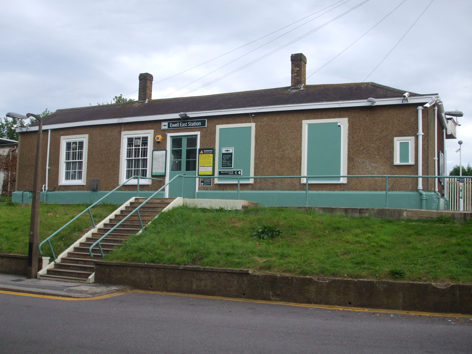
Ewell East railway station
Ewell East is one of two stations serving the town of Ewell in Surrey, England. It has two platforms, one for services to Sutton, West Croydon and London...
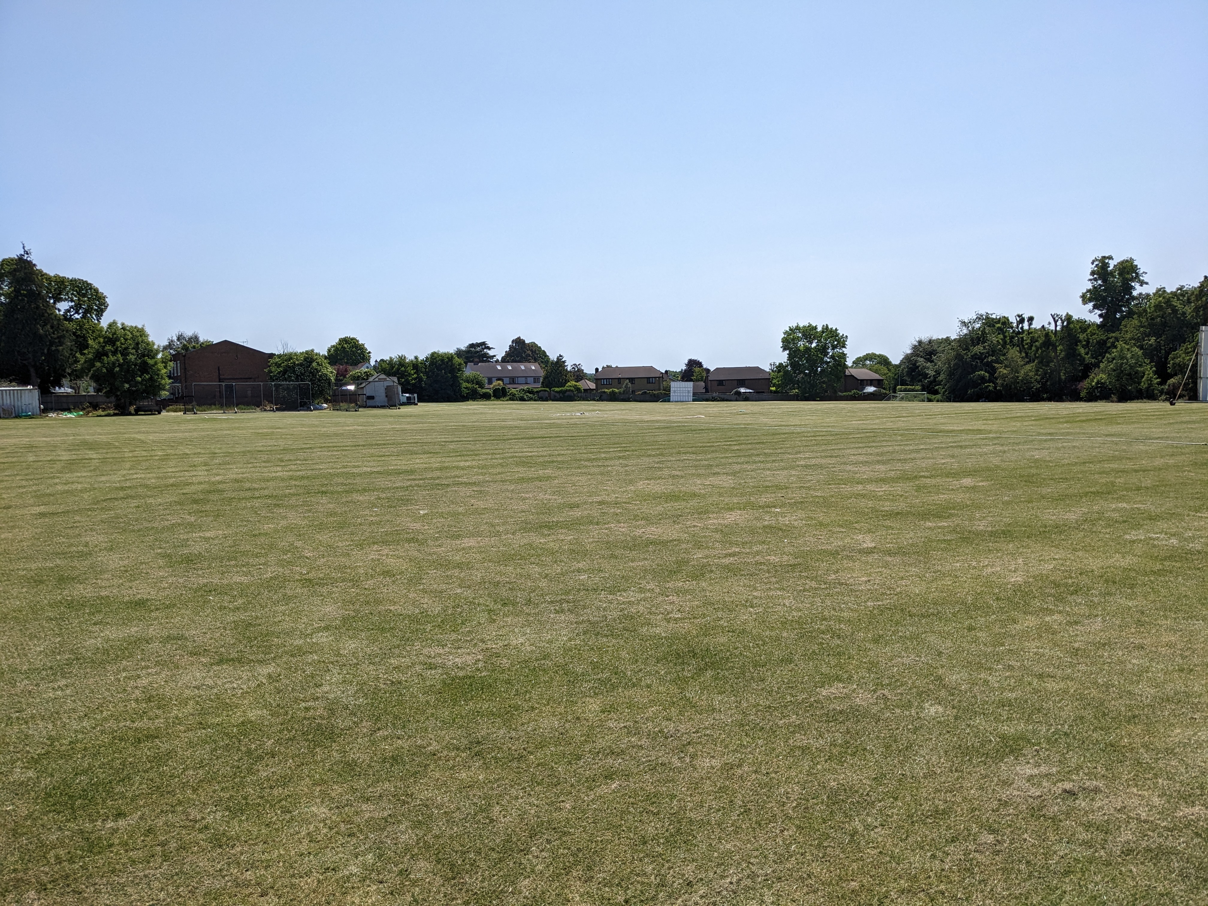
Cheam Cricket Club Ground
Cheam Cricket Club Ground is a cricket ground in Cheam, London (formerly Surrey). The first recorded match on the ground was in 1940, when Cheam played...
Nearby Amenities
Located within 500m of 51.344788,-0.228162Have you been to East Ewell?
Leave your review of East Ewell below (or comments, questions and feedback).