Beacon Hill

Hill, Mountain in Sussex Horsham

England

Beacon Hill

The Dragon Public House, Colgate, West Sussex At one of the main crossroads of this small village. The pub is named after the dragon which was said to live in the nearby St. Leonards Forest.
The Dragon Public House, Colgate, West Sussex Credit: Pete Chapman

Beacon Hill is a prominent landmark located in Sussex, England. Standing at an elevation of 244 meters (800 feet), it is considered one of the highest points in the region. The hill is part of the South Downs, a range of chalk hills that stretches across Southern England.

Beacon Hill derives its name from the historical practice of lighting beacons on its summit to convey messages across long distances. This strategic location made it an ideal spot for signaling during various periods of history, including the Roman and medieval eras.

The hill is known for its stunning natural beauty, offering breathtaking panoramic views of the surrounding countryside. On clear days, visitors can enjoy vistas that extend as far as the English Channel and the Isle of Wight. The area is home to diverse wildlife and is a popular destination for nature enthusiasts and birdwatchers.

In addition to its natural attractions, Beacon Hill also holds historical significance. It was the site of a Roman settlement, with remnants of ancient buildings and artifacts discovered in the area. The hill also played a role in World War II, serving as a lookout point for spotting enemy aircraft.

Today, Beacon Hill is a popular destination for outdoor activities such as hiking, walking, and picnicking. The hill is accessible via well-maintained footpaths and offers a range of trails suitable for different abilities. Visitors can explore the surrounding countryside, enjoy the fresh air, and take in the remarkable views that make Beacon Hill a cherished destination in Sussex.

If you have any feedback on the listing, please let us know in the comments section below.
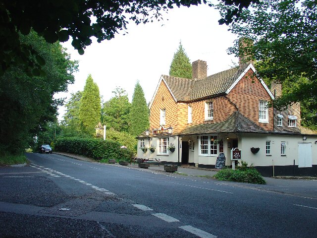
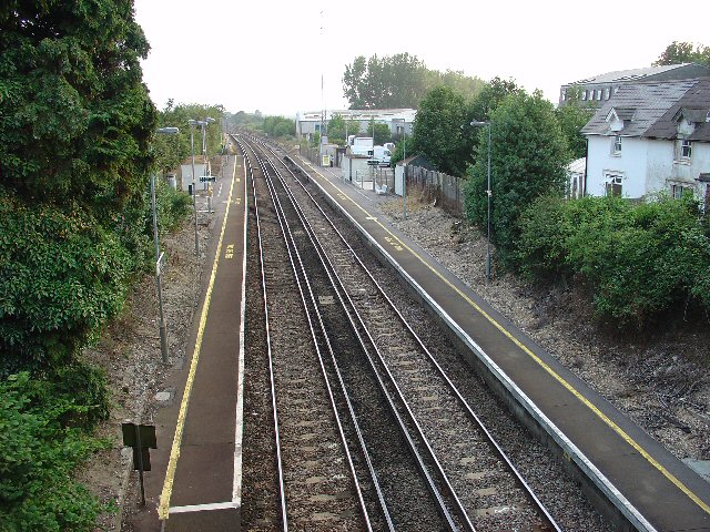
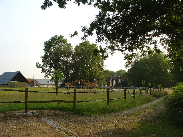
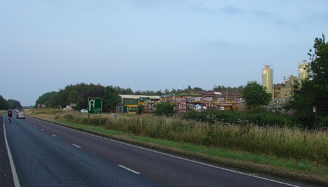
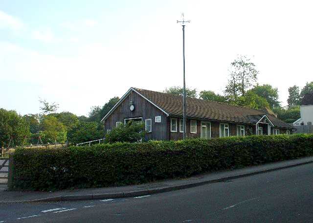
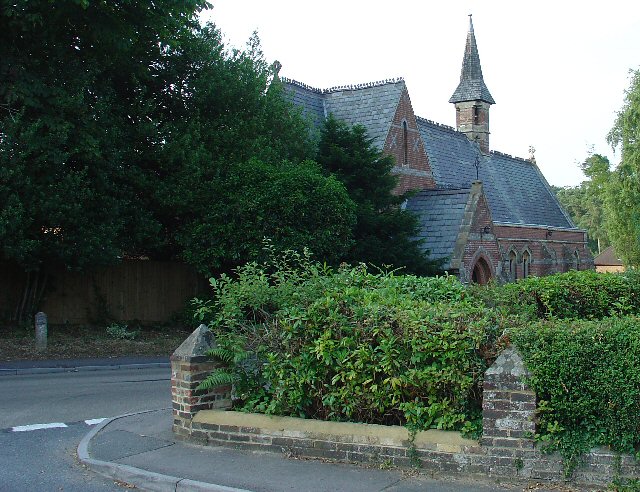
Beacon Hill Images

Images are sourced within 2km of 51.083323/-0.24955429 or Grid Reference TQ2233. Thanks to Geograph Open Source API. All images are credited.

The Dragon Public House, Colgate, West Sussex At one of the main crossroads of this small village. The pub is named after the dragon which was said to live in the nearby St. Leonards Forest.
The Dragon Public House, Colgate, West Sussex
At one of the main crossroads of this small village. The pub is named after the dragon which was said to live in the nearby St. Leonards Forest.
The Cherry Tree Public House, Near Faygate, West Sussex. A wayside inn on the N side of the A264 dual carriageway
The Cherry Tree Public House, Near Faygate, West Sussex.
A wayside inn on the N side of the A264 dual carriageway
Faygate Station, Faygate, West Sussex Not pretty, but functional. The small village of Faygate is surprisingly industrial (easy access to the railway and main A264 road probably the reason) for its location and the station fits in with the theme. On the Line between Horsham and Crawley (London Victoria - Littlehampton/Bognor Regis)
Faygate Station, Faygate, West Sussex
Not pretty, but functional. The small village of Faygate is surprisingly industrial (easy access to the railway and main A264 road probably the reason) for its location and the station fits in with the theme. On the Line between Horsham and Crawley (London Victoria - Littlehampton/Bognor Regis)
Water Tower, Beacon Hill, Colgate, West Sussex This concrete water tower is built near to the highest point on Beacon Hill (146m above sea level). Colgate is situated on top of a long ridge of wealdland that stretches E-W between Pease Pottage and the outskirts of Horsham. Water pressure in the area would be quite low without the use of a water tower.
Water Tower, Beacon Hill, Colgate, West Sussex
This concrete water tower is built near to the highest point on Beacon Hill (146m above sea level). Colgate is situated on top of a long ridge of wealdland that stretches E-W between Pease Pottage and the outskirts of Horsham. Water pressure in the area would be quite low without the use of a water tower.
Forest Grange, in the heart of St Leonards Forest, Near Horsham, West Sussex Earlier maps (e.g. 1993) show this as the site of Forest Grange School. Later maps have dropped school from the name. It didn't looked like it was being used as a school at the time the picture was taken.
Forest Grange, in the heart of St Leonards Forest, Near Horsham, West Sussex
Earlier maps (e.g. 1993) show this as the site of Forest Grange School. Later maps have dropped school from the name. It didn't looked like it was being used as a school at the time the picture was taken.
Gate house to the Holmbush estate, off A264, between Crawley and Horsham The gatehouse to the original main drive up to the house on the Holmwood estate.
Gate house to the Holmbush estate, off A264, between Crawley and Horsham
The gatehouse to the original main drive up to the house on the Holmwood estate.
Holmbush Potteries Industrial Estate, Crawley. Conveniently situated off the main A264 road between Crawley and Horsham. Features a large builders merchants premises and several smaller trading and industrial units.
Holmbush Potteries Industrial Estate, Crawley.
Conveniently situated off the main A264 road between Crawley and Horsham. Features a large builders merchants premises and several smaller trading and industrial units.
Arable Fields between Pease Pottage and Colgate, West Sussex A typical corn field to the south of the minor road between Pease Pottage and Colgate. Viewed looking SE.
Arable Fields between Pease Pottage and Colgate, West Sussex
A typical corn field to the south of the minor road between Pease Pottage and Colgate. Viewed looking SE.
Bridle Road To Bucks Head Through St Leonards Forest, West Sussex The start of the main route through the forest from near The Dragon pub. This is a public bridleway.
Bridle Road To Bucks Head Through St Leonards Forest, West Sussex
The start of the main route through the forest from near The Dragon pub. This is a public bridleway.
Ancient Boundary? Earthwall Adjacent to Bridleway Between Beacon Hill and the St Leonards Forest Bridleway Earthwalls are often found in forested areas an can signify the presence of a very old boundary line. They often feature distinctive trees (e.g. pollards, or yews). Here we see an earthwall in a beech wood. The public right of way (bridleway) runs close to and parallel to the earthwall for some way.
Ancient Boundary? Earthwall Adjacent to Bridleway Between Beacon Hill and the St Leonards Forest Bridleway
Earthwalls are often found in forested areas an can signify the presence of a very old boundary line. They often feature distinctive trees (e.g. pollards, or yews). Here we see an earthwall in a beech wood. The public right of way (bridleway) runs close to and parallel to the earthwall for some way.
Colgate Village Hall, Colgate, West Sussex This village hall is the centre for a lot of village life and is appropriately in the centre of the village! This particular hall building replaced one that was bombed during the second world war.
Colgate Village Hall, Colgate, West Sussex
This village hall is the centre for a lot of village life and is appropriately in the centre of the village! This particular hall building replaced one that was bombed during the second world war.
St Saviours Church, Colgate, West Sussex Centrally located in the village: almost opposite one of the two main road junctions; and near to the village hall. Brick built with a slate roof.
St Saviours Church, Colgate, West Sussex
Centrally located in the village: almost opposite one of the two main road junctions; and near to the village hall. Brick built with a slate roof.
Bridleway through Holmbush Forest, near Colgate, West Sussex This bridleway runs through Holmbush forest from Colgate to the main road between Crawley and Horsham (A264).
Bridleway through Holmbush Forest, near Colgate, West Sussex
This bridleway runs through Holmbush forest from Colgate to the main road between Crawley and Horsham (A264).
Woodsman's Hut, St Leonard's Forest. Forestry Commission Workshop.
Woodsman's Hut, St Leonard's Forest.
Forestry Commission Workshop.
Bus stop and road approaching Faygate northbound The bus stop hut has now been taken down after the car above managed to "park" itself within!
Bus stop and road approaching Faygate northbound
The bus stop hut has now been taken down after the car above managed to "park" itself within!
Bridleway near junction of Grouse Lane and Blackhouse Road, Colgate, West Sussex View taken looking SSE. This bridleway leads to Newstead Farm (approx 1200m).
Bridleway near junction of Grouse Lane and Blackhouse Road, Colgate, West Sussex
View taken looking SSE. This bridleway leads to Newstead Farm (approx 1200m).
Junction of Grouse Road and Woodland Lane, Near Colgate, West Sussex Woodland Lane is a narrow metalled no through private road. A Post box is situated at the junction  to serve the needs of around a dozen dwellings along Woodland Lane.
Junction of Grouse Road and Woodland Lane, Near Colgate, West Sussex
Woodland Lane is a narrow metalled no through private road. A Post box is situated at the junction to serve the needs of around a dozen dwellings along Woodland Lane.
Entrance to Stone Edge Nurseries, Woodland Lane, near Colgate, West Sussex A small plant nursery in a very rural location, situated near the end of a dead end country lane.
Nursery on the N side of the Lane.
Entrance to Stone Edge Nurseries, Woodland Lane, near Colgate, West Sussex
A small plant nursery in a very rural location, situated near the end of a dead end country lane. Nursery on the N side of the Lane.
Show me another place!

Beacon Hill is located at Grid Ref: TQ2233 (Lat: 51.083323, Lng: -0.24955429)

Administrative County: West Sussex

District: Horsham

Police Authority: Sussex

What 3 Words

///donation.hairspray.breathy. Near Bewbush, West Sussex

Related Wikis

Colgate, West Sussex

Colgate is a small village and civil parish in the Horsham district of West Sussex, England, about four miles (6 km) north east of Horsham. A small village...

Horsham and Crawley (UK Parliament constituency)

Horsham and Crawley was a parliamentary constituency centred on the towns of Horsham and Crawley in West Sussex. It returned one Member of Parliament...

Faygate

Faygate is a village in the Horsham district of West Sussex, England. It lies on the A264 road 3.4 miles (5.4 km) south west of Crawley. It has a railway...

Kilnwood Vale

Kilnwood Vale is part of the Horsham district of West Sussex, England. It borders the High Weald Area of Outstanding Natural Beauty along the A264 east...

Nearby Amenities

Located within 500m of 51.083323,-0.24955429
Colgate
Is In: West Sussex, England, UK
Place: village
Wikidata: Q1923032
Lat/Long: 51.0813587/-0.2436334
Bus Stop
The Dragon Inn
Bus: yes
Naptan AtcoCode: 4400HR0429
Naptan Bearing: W
Naptan BusStopType: CUS
Naptan CommonName: The Dragon Inn
Naptan Indicator: o/s pub
Naptan Landmark: Tower Road
Naptan NaptanCode: wsxawjdt
Naptan ShortCommonName: Colgate Dragon Inn
Naptan Street: Forest Road
Naptan Verified: no
Public Transport: platform
Source: naptan_import
Lat/Long: 51.0808598/-0.247607
Bus Stop
The Dragon Inn
Naptan AtcoCode: 4400HR0430
Naptan Bearing: E
Naptan CommonName: The Dragon Inn
Naptan Indicator: opp pub
Naptan Landmark: Tower Road
Naptan NaptanCode: wsxawjdw
Naptan Street: Forest Road
Naptan Verified: no
Public Transport: platform
Source: naptan_import
Lat/Long: 51.0808097/-0.2484656
Beacon Hill
Naptan AtcoCode: 4400HR0575
Naptan Bearing: NW
Naptan BusStopType: CUS
Naptan CommonName: Beacon Hill
Naptan Indicator: opp
Naptan Landmark: Hail & Ride
Naptan NaptanCode: wsxdtmgw
Naptan Street: Tower Road
Naptan Verified: no
Source: naptan_import
Lat/Long: 51.0843709/-0.251458
Coombe Wood
Place: isolated_dwelling
Lat/Long: 51.0794647/-0.2491182
Man Made: mast
Lat/Long: 51.0837831/-0.2509562
Washout Hydrant
Fire Hydrant
Emergency: fire_hydrant
Fire Hydrant Type: underground
Survey Date: 2018-11-11
Water Source: main
Lat/Long: 51.081042/-0.2468135
Beacon Hill Scout Campsite
Group Only: yes
Tourism: camp_site
Lat/Long: 51.0848759/-0.2545222
Post Box
Operator: Royal Mail
Post Box Type: lamp
Ref: RH13 111
Royal Cypher: EIIR
Royal Cypher Wikidata: Q33102113
Lat/Long: 51.0810863/-0.2434266
The data included in this document is from www.openstreetmap.org. The data is made available under ODbL.

Have you been to Beacon Hill?

Leave your review of Beacon Hill below (or comments, questions and feedback).