Hooks Copse

Wood, Forest in Sussex Horsham

England

Hooks Copse

The Dragon Public House, Colgate, West Sussex At one of the main crossroads of this small village. The pub is named after the dragon which was said to live in the nearby St. Leonards Forest.
The Dragon Public House, Colgate, West Sussex Credit: Pete Chapman

Hooks Copse is a stunning woodland located in the county of Sussex, England. Covering an area of approximately 50 acres, this ancient forest is a haven for nature lovers and outdoor enthusiasts alike. It is situated near the village of Hooks Green and is easily accessible by foot or by car.

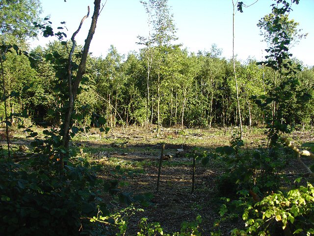
The copse boasts a diverse range of tree species, including oak, beech, and ash, creating a rich and vibrant ecosystem. The woodland floor is carpeted with a variety of wildflowers, ferns, and mosses, adding to the enchanting atmosphere of the forest. The dense canopy provides a shaded and cool environment, making it a perfect retreat during the hot summer months.

The woodland is also home to a wide array of wildlife. Visitors may catch a glimpse of deer, foxes, and rabbits roaming freely in their natural habitat. Bird enthusiasts will be delighted by the many species that inhabit Hooks Copse, including woodpeckers, owls, and songbirds. The tranquil surroundings make it an ideal spot for birdwatching and wildlife photography.

For those seeking recreational activities, Hooks Copse offers several walking trails and paths that wind through the forest. These well-maintained routes provide an opportunity to immerse oneself in the beauty of nature, and there are designated picnic areas where visitors can pause and enjoy a packed lunch. Additionally, the copse is a popular destination for nature education programs and guided tours, providing a valuable learning experience for visitors of all ages.

Overall, Hooks Copse in Sussex is a sublime woodland that offers a peaceful respite from the hustle and bustle of everyday life. Its natural beauty, diverse flora, and abundant wildlife make it a must-visit destination for anyone seeking a connection with nature.

If you have any feedback on the listing, please let us know in the comments section below.
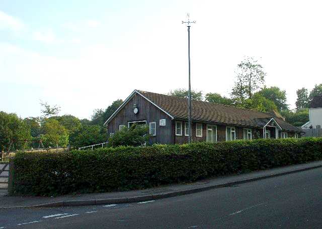
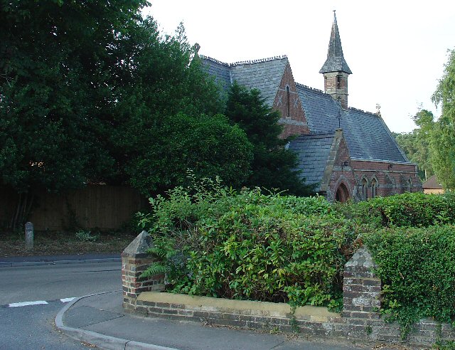
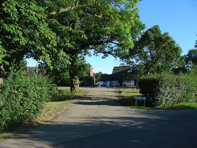
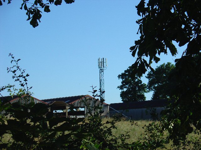
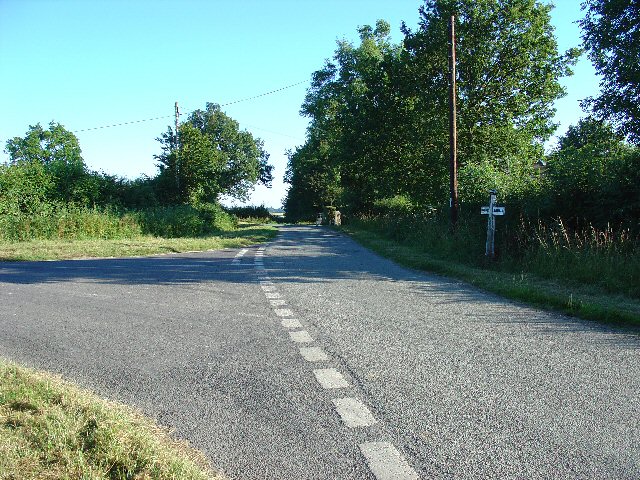
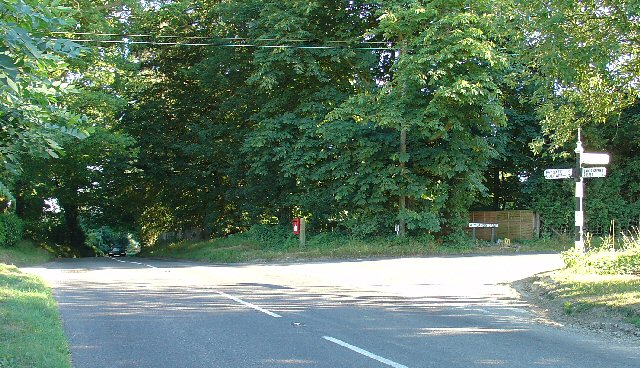
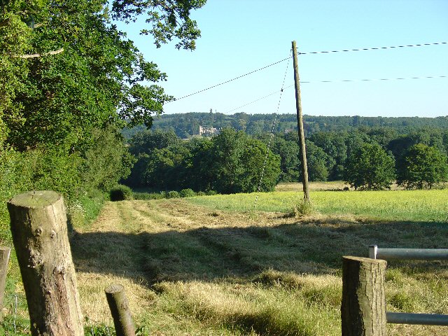
Hooks Copse Images

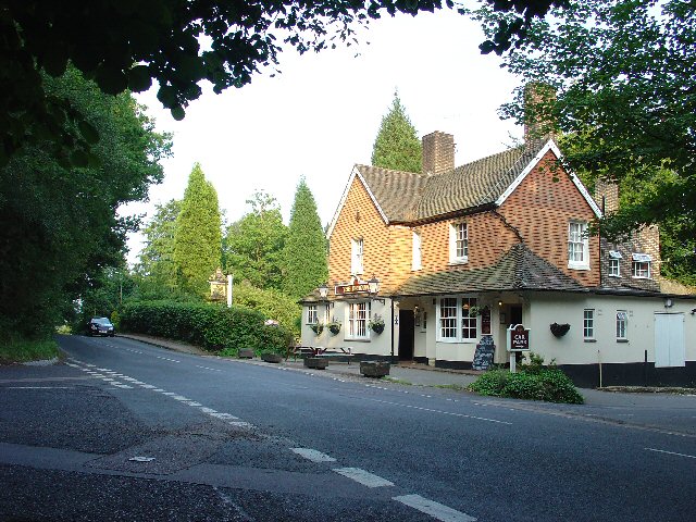
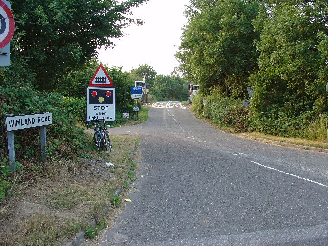
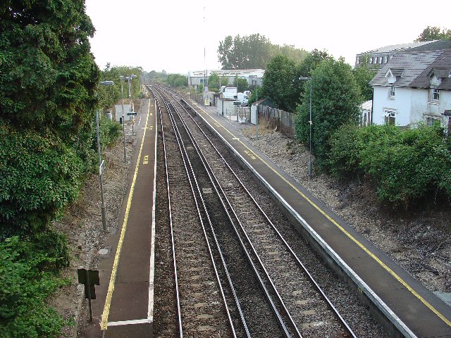
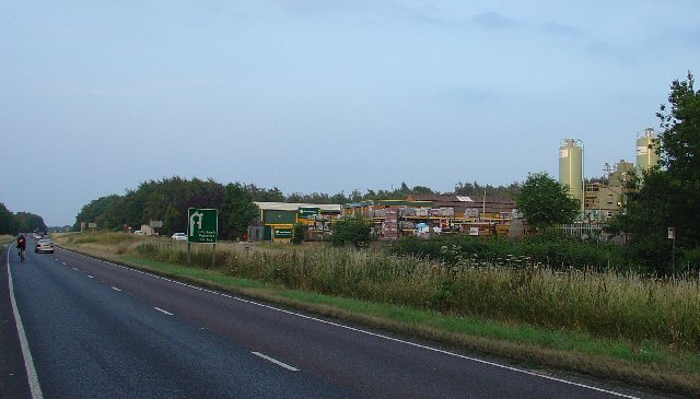
Images are sourced within 2km of 51.091076/-0.25865792 or Grid Reference TQ2233. Thanks to Geograph Open Source API. All images are credited.

The Dragon Public House, Colgate, West Sussex At one of the main crossroads of this small village. The pub is named after the dragon which was said to live in the nearby St. Leonards Forest.
The Dragon Public House, Colgate, West Sussex
At one of the main crossroads of this small village. The pub is named after the dragon which was said to live in the nearby St. Leonards Forest.
Level Crossing (Horsham-Crawley line), Wimland Road, Faygate, West Sussex An automatic (un-manned) rural level crossing on this railway line, which connects Horsham to the London Victoria terminus, via Three Bridges.
Level Crossing (Horsham-Crawley line), Wimland Road, Faygate, West Sussex
An automatic (un-manned) rural level crossing on this railway line, which connects Horsham to the London Victoria terminus, via Three Bridges.
The Cherry Tree Public House, Near Faygate, West Sussex. A wayside inn on the N side of the A264 dual carriageway
The Cherry Tree Public House, Near Faygate, West Sussex.
A wayside inn on the N side of the A264 dual carriageway
Faygate Station, Faygate, West Sussex Not pretty, but functional. The small village of Faygate is surprisingly industrial (easy access to the railway and main A264 road probably the reason) for its location and the station fits in with the theme. On the Line between Horsham and Crawley (London Victoria - Littlehampton/Bognor Regis)
Faygate Station, Faygate, West Sussex
Not pretty, but functional. The small village of Faygate is surprisingly industrial (easy access to the railway and main A264 road probably the reason) for its location and the station fits in with the theme. On the Line between Horsham and Crawley (London Victoria - Littlehampton/Bognor Regis)
Water Tower, Beacon Hill, Colgate, West Sussex This concrete water tower is built near to the highest point on Beacon Hill (146m above sea level). Colgate is situated on top of a long ridge of wealdland that stretches E-W between Pease Pottage and the outskirts of Horsham. Water pressure in the area would be quite low without the use of a water tower.
Water Tower, Beacon Hill, Colgate, West Sussex
This concrete water tower is built near to the highest point on Beacon Hill (146m above sea level). Colgate is situated on top of a long ridge of wealdland that stretches E-W between Pease Pottage and the outskirts of Horsham. Water pressure in the area would be quite low without the use of a water tower.
Gate house to the Holmbush estate, off A264, between Crawley and Horsham The gatehouse to the original main drive up to the house on the Holmwood estate.
Gate house to the Holmbush estate, off A264, between Crawley and Horsham
The gatehouse to the original main drive up to the house on the Holmwood estate.
Holmbush Potteries Industrial Estate, Crawley. Conveniently situated off the main A264 road between Crawley and Horsham. Features a large builders merchants premises and several smaller trading and industrial units.
Holmbush Potteries Industrial Estate, Crawley.
Conveniently situated off the main A264 road between Crawley and Horsham. Features a large builders merchants premises and several smaller trading and industrial units.
Bridle Road To Bucks Head Through St Leonards Forest, West Sussex The start of the main route through the forest from near The Dragon pub. This is a public bridleway.
Bridle Road To Bucks Head Through St Leonards Forest, West Sussex
The start of the main route through the forest from near The Dragon pub. This is a public bridleway.
Ancient Boundary? Earthwall Adjacent to Bridleway Between Beacon Hill and the St Leonards Forest Bridleway Earthwalls are often found in forested areas an can signify the presence of a very old boundary line. They often feature distinctive trees (e.g. pollards, or yews). Here we see an earthwall in a beech wood. The public right of way (bridleway) runs close to and parallel to the earthwall for some way.
Ancient Boundary? Earthwall Adjacent to Bridleway Between Beacon Hill and the St Leonards Forest Bridleway
Earthwalls are often found in forested areas an can signify the presence of a very old boundary line. They often feature distinctive trees (e.g. pollards, or yews). Here we see an earthwall in a beech wood. The public right of way (bridleway) runs close to and parallel to the earthwall for some way.
Colgate Village Hall, Colgate, West Sussex This village hall is the centre for a lot of village life and is appropriately in the centre of the village! This particular hall building replaced one that was bombed during the second world war.
Colgate Village Hall, Colgate, West Sussex
This village hall is the centre for a lot of village life and is appropriately in the centre of the village! This particular hall building replaced one that was bombed during the second world war.
St Saviours Church, Colgate, West Sussex Centrally located in the village: almost opposite one of the two main road junctions; and near to the village hall. Brick built with a slate roof.
St Saviours Church, Colgate, West Sussex
Centrally located in the village: almost opposite one of the two main road junctions; and near to the village hall. Brick built with a slate roof.
Bridleway through Holmbush Forest, near Colgate, West Sussex This bridleway runs through Holmbush forest from Colgate to the main road between Crawley and Horsham (A264).
Bridleway through Holmbush Forest, near Colgate, West Sussex
This bridleway runs through Holmbush forest from Colgate to the main road between Crawley and Horsham (A264).
Wimland Farm, Near Faygate, West Sussex A standard sized farmstead for the area, and one where farming appears to still be the main activity. Small pond behind the bushes on the left. View taken from the public road immediately to the N.
Wimland Farm, Near Faygate, West Sussex
A standard sized farmstead for the area, and one where farming appears to still be the main activity. Small pond behind the bushes on the left. View taken from the public road immediately to the N.
Phone Mast, Wimland Farm, Near Faygate, West Sussex Phone mast in amongst the farm buildings of the main farmstead.
Phone Mast, Wimland Farm, Near Faygate, West Sussex
Phone mast in amongst the farm buildings of the main farmstead.
Road Junction near Wimland Farm, Faygate, West Sussex All narrow (single track) roads. The sign was a bit dilapidated - the central limb (to Faygate) was missing.
Road Junction near Wimland Farm, Faygate, West Sussex
All narrow (single track) roads. The sign was a bit dilapidated - the central limb (to Faygate) was missing.
Road Junction, Near Carylls Lea, Faygate, West Sussex The metalled bridleway (see square TQ2235) comes out at this junction. Directions go to Faygate, Wimland, and Rusper.
Road Junction, Near Carylls Lea, Faygate, West Sussex
The metalled bridleway (see square TQ2235) comes out at this junction. Directions go to Faygate, Wimland, and Rusper.
Field adjacent to bridleway near Carylls Lea junction, Faygate, West Sussex This corner of the field is in the SW corner of the grid square, but there were several similar open fields on either side of the public right of way (which runs along a metalled farm track at this point). The view looks down across the wide shallow valley that the A264 Crawley-Horsham road runs through. In the distance, the large house of the Holmwood estate can just be made out on the far hillside. To the Left (E) of the field is a small wood. View taken looking SSE from the bridleway.
Field adjacent to bridleway near Carylls Lea junction, Faygate, West Sussex
This corner of the field is in the SW corner of the grid square, but there were several similar open fields on either side of the public right of way (which runs along a metalled farm track at this point). The view looks down across the wide shallow valley that the A264 Crawley-Horsham road runs through. In the distance, the large house of the Holmwood estate can just be made out on the far hillside. To the Left (E) of the field is a small wood. View taken looking SSE from the bridleway.
Woodland S of bridleway between Ifield West (Crawley) and Carylls Lea junction (Faygate), West Sussex. One of many small pieces of woodland that are scattered over this part of rural Sussex. This wood is adjacent to the field in one of the other photos for this square. Mainly young deciduous trees, this area recently cleared.
Woodland S of bridleway between Ifield West (Crawley) and Carylls Lea junction (Faygate), West Sussex.
One of many small pieces of woodland that are scattered over this part of rural Sussex. This wood is adjacent to the field in one of the other photos for this square. Mainly young deciduous trees, this area recently cleared.
Show me another place!

Hooks Copse is located at Grid Ref: TQ2233 (Lat: 51.091076, Lng: -0.25865792)

Administrative County: West Sussex

District: Horsham

Police Authority: Sussex

What 3 Words

///dozens.subplot.wages. Near Bewbush, West Sussex

Related Wikis

Faygate

Faygate is a village in the Horsham district of West Sussex, England. It lies on the A264 road 3.4 miles (5.4 km) south west of Crawley. It has a railway...

Faygate railway station

Faygate Station is located on the Arun Valley Line, between Littlehaven and Ifield, 34 miles 28 chains (55.3 km) down the line from London Bridge, measured...

Kilnwood Vale

Kilnwood Vale is part of the Horsham district of West Sussex, England. It borders the High Weald Area of Outstanding Natural Beauty along the A264 east...

Colgate, West Sussex

Colgate is a small village and civil parish in the Horsham district of West Sussex, England, about four miles (6 km) north east of Horsham. A small village...

Nearby Amenities

Located within 500m of 51.091076,-0.25865792
Crossing
Crossing: unmarked
Crossing Island: no
Crossing Markings: no
Lat/Long: 51.0918118/-0.2634625
Crossing
Crossing: unmarked
Crossing Markings: no
Lat/Long: 51.092173/-0.2623176
Mini Roundabout
Direction: clockwise
Lat/Long: 51.0944397/-0.2618682
Faygate
Is In: West Sussex, England, UK
Place: village
Wikidata: Q967266
Lat/Long: 51.0946279/-0.2625376
Crossing
Crossing: unmarked
Lat/Long: 51.092379/-0.2630546
Cafe
The Cabin
Addr City: Faygate
Addr Postcode: RH12 4SE
Addr Street: Crawley Road
Fhrs Id: 338418
Opening Hours: Mo-Th 06:30-20:00; Fr 06:30-14:00; Sa 07:00-12:00
Source Addr: FHRS Open Data
Lat/Long: 51.0926601/-0.262292
Bus Stop
Faygate Roundabout
Bus: yes
Naptan AtcoCode: 4400HR0049
Naptan Bearing: NE
Naptan CommonName: Faygate Roundabout
Naptan Indicator: Crawley side of roundabout
Naptan Landmark: Faygate Lane
Naptan NaptanCode: wsxatgpg
Naptan Street: A264
Public Transport: platform
Source: naptan_import
Lat/Long: 51.0917783/-0.2644634
Bus Stop
Park Road
Naptan AtcoCode: 4400HR0050
Naptan Bearing: N
Naptan CommonName: Park Road
Naptan Indicator: House No 5
Naptan Landmark: Park Road
Naptan NaptanCode: wsxatgpj
Naptan Street: Faygate Lane
Naptan Verified: no
Public Transport: platform
Source: naptan_import
Lat/Long: 51.0936201/-0.2625913
Bus Stop
Park Road
Naptan AtcoCode: 4400HR0051
Naptan Bearing: S
Naptan CommonName: Park Road
Naptan Indicator: adj Park Road
Naptan Landmark: Park Road
Naptan NaptanCode: wsxatgpm
Naptan Street: Faygate Lane
Naptan Verified: no
Public Transport: platform
Source: naptan_import
Lat/Long: 51.0942652/-0.2618245
Bus Stop
Park Road
Naptan AtcoCode: 4400HR0415
Naptan Bearing: NE
Naptan CommonName: Park Road
Naptan Indicator: adj
Naptan Landmark: Park Road
Naptan NaptanCode: wsxawgwp
Naptan Street: A264
Naptan Verified: no
Public Transport: platform
Source: naptan_import
Lat/Long: 51.0940071/-0.2586082
Bus Stop
Faygate Roundabout
Bus: yes
Naptan AtcoCode: 4400HR0422
Naptan Bearing: SW
Naptan CommonName: Faygate Roundabout
Naptan Indicator: adj
Naptan Landmark: Tower Road
Naptan NaptanCode: wsxawjat
Naptan ShortCommonName: Faygate Roundabout
Naptan Street: A264
Naptan Verified: no
Public Transport: platform
Source: naptan_import
Lat/Long: 51.0922592/-0.261888
Crossing
Crossing: unmarked
Crossing Markings: no
Lat/Long: 51.0922804/-0.2624304
Holmbush
Place: isolated_dwelling
Wikidata: Q17532728
Lat/Long: 51.0900932/-0.2521462
Note: Holmbush Park Roundabout
Lat/Long: 51.0948441/-0.2567705
Power: pole
Lat/Long: 51.0950776/-0.2560388
Power: pole
Lat/Long: 51.0946489/-0.2556135
Crossing
Crossing: unmarked
Crossing Island: no
Crossing Markings: no
Tactile Paving: yes
Lat/Long: 51.0919206/-0.2639146
Crossing
Crossing: unmarked
Crossing Island: no
Crossing Markings: no
Tactile Paving: yes
Lat/Long: 51.092435/-0.2632436
Crossing
Crossing: unmarked
Crossing Island: no
Crossing Markings: no
Lat/Long: 51.0919298/-0.2635631
Crossing
Crossing: unmarked
Lat/Long: 51.0923086/-0.2631861
Cafe
Wild Bean Cafe
Brand: Wild Bean Cafe
Brand Wikidata: Q61804826
Cuisine: coffee_shop
Takeaway: yes
Lat/Long: 51.092086/-0.2638075
The data included in this document is from www.openstreetmap.org. The data is made available under ODbL.

Have you been to Hooks Copse?

Leave your review of Hooks Copse below (or comments, questions and feedback).