Mill Hill

Hill, Mountain in Sussex Adur

England

Mill Hill

Paddock A horse feeding in a paddock off the A283 near Old Shoreham, with Lancing College in the left background.
Paddock Credit: Ian Capper

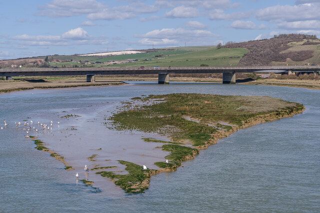
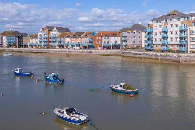
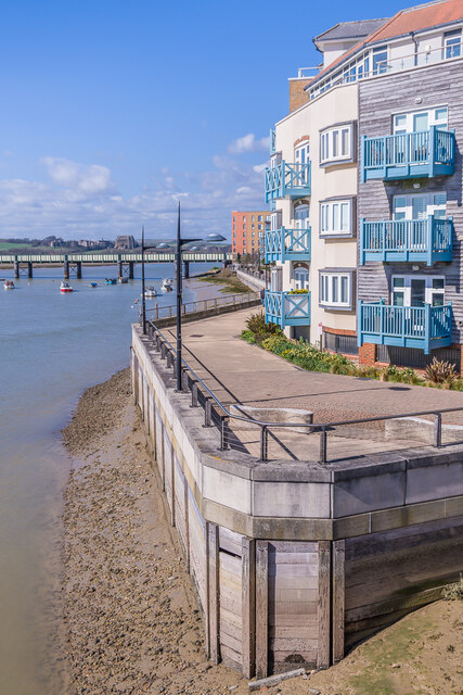
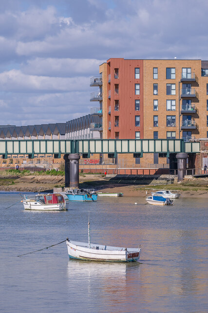
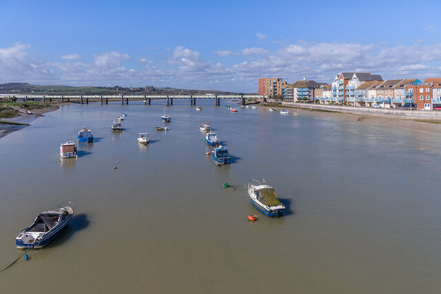
Mill Hill is a small village located in the county of Sussex, England. Situated on a hill, it offers picturesque views of the surrounding countryside and is known for its natural beauty. The village is characterized by its peaceful and tranquil atmosphere, making it an ideal destination for those seeking a relaxing retreat.

The name Mill Hill is derived from the historical presence of a mill that once operated in the area. Today, remnants of the mill can still be seen, adding to the village's charm and historical significance. The village is also home to a number of traditional cottages and buildings, showcasing its rich architectural heritage.

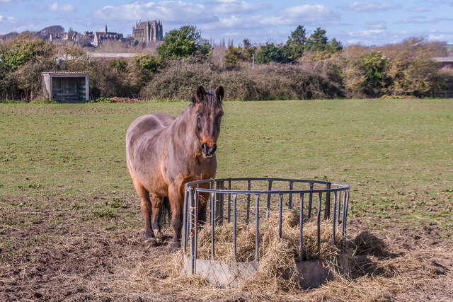
Nature lovers will find Mill Hill to be a haven, as the village is surrounded by lush green fields and woodlands. The area is known for its diverse wildlife, with many species of birds, butterflies, and other animals making their home here. This makes Mill Hill a popular destination for birdwatching and nature walks.

In addition to its natural beauty, Mill Hill boasts a strong sense of community. The village hosts various social events throughout the year, including fairs, festivals, and charity events. This provides residents and visitors with opportunities to come together and enjoy the vibrant community spirit.

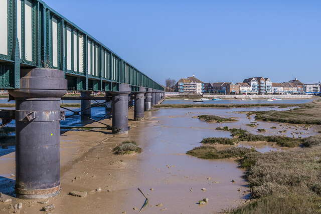
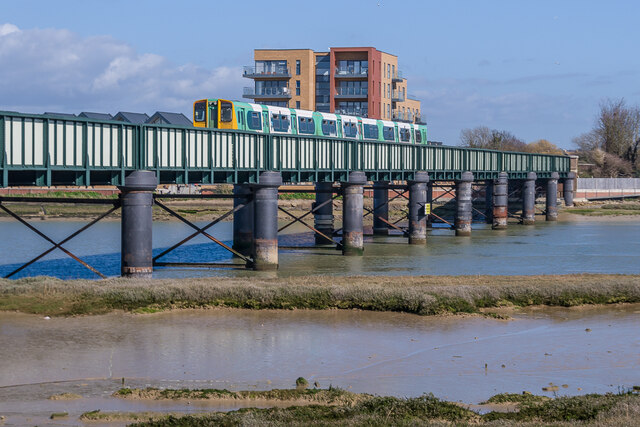
Mill Hill is conveniently located near several other towns and villages in Sussex, making it an accessible destination for day trips and exploring the surrounding areas. Whether it's enjoying the tranquility of the countryside or immersing oneself in the local community, Mill Hill offers a unique and enriching experience for visitors.

If you have any feedback on the listing, please let us know in the comments section below.
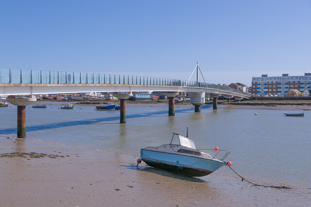
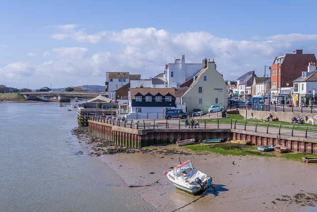
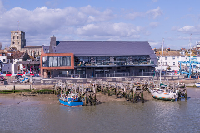
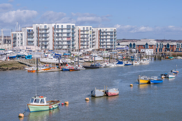
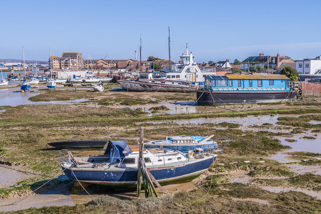
Mill Hill Images

Images are sourced within 2km of 50.84541/-0.27863019 or Grid Reference TQ2106. Thanks to Geograph Open Source API. All images are credited.

Paddock A horse feeding in a paddock off the A283 near Old Shoreham, with Lancing College in the left background.
Paddock
A horse feeding in a paddock off the A283 near Old Shoreham, with Lancing College in the left background.
Artwork Artwork alongside the Downs Link cycle/foot trail, with Old Shoreham Bridge across the River Adur in the background.
Artwork
Artwork alongside the Downs Link cycle/foot trail, with Old Shoreham Bridge across the River Adur in the background.
Old Shoreham Bridge Bridge over the River Adur near Old Shoreham, now a foot/cycle bridge.  Originally built in 1781, it was rebuilt to the same design during the First World War.  Until 1970 it formed part of the A27, with a toll for its use, until relieved by the opening of the Shoreham bypass, with a new viaduct over the river around 300m north of the old bridge.  It was then closed to road traffic and made a bridleway.  It underwent a full restoration in 2008.  Grade II* listed - see <span class="nowrap"><a title="https://historicengland.org.uk/listing/the-list/list-entry/1027895?section=official-list-entry" rel="nofollow ugc noopener" href="https://historicengland.org.uk/listing/the-list/list-entry/1027895?section=official-list-entry">Link</a><img style="margin-left:2px;" alt="External link" title="External link - shift click to open in new window" src="https://s1.geograph.org.uk/img/external.png" width="10" height="10"/></span>.

In the background is Lancing College.
Old Shoreham Bridge
Bridge over the River Adur near Old Shoreham, now a foot/cycle bridge. Originally built in 1781, it was rebuilt to the same design during the First World War. Until 1970 it formed part of the A27, with a toll for its use, until relieved by the opening of the Shoreham bypass, with a new viaduct over the river around 300m north of the old bridge. It was then closed to road traffic and made a bridleway. It underwent a full restoration in 2008. Grade II* listed - see LinkExternal link. In the background is Lancing College.
Old Shoreham Bridge Bridge over the River Adur near Old Shoreham, now a foot/cycle bridge.  Originally built in 1781, it was rebuilt to the same design during the First World War.  Until 1970 it formed part of the A27, with a toll for its use, until relieved by the opening of the Shoreham bypass, with a new viaduct over the river around 300m north of the old bridge.  It was then closed to road traffic and made a bridleway.  It underwent a full restoration in 2008.  Grade II* listed - see <span class="nowrap"><a title="https://historicengland.org.uk/listing/the-list/list-entry/1027895?section=official-list-entry" rel="nofollow ugc noopener" href="https://historicengland.org.uk/listing/the-list/list-entry/1027895?section=official-list-entry">Link</a><img style="margin-left:2px;" alt="External link" title="External link - shift click to open in new window" src="https://s1.geograph.org.uk/img/external.png" width="10" height="10"/></span>.

In the background is St Nicolas' Church, Old Shoreham.
Old Shoreham Bridge
Bridge over the River Adur near Old Shoreham, now a foot/cycle bridge. Originally built in 1781, it was rebuilt to the same design during the First World War. Until 1970 it formed part of the A27, with a toll for its use, until relieved by the opening of the Shoreham bypass, with a new viaduct over the river around 300m north of the old bridge. It was then closed to road traffic and made a bridleway. It underwent a full restoration in 2008. Grade II* listed - see LinkExternal link. In the background is St Nicolas' Church, Old Shoreham.
River Adur Looking along the River Adur from the Old Shoreham Bridge with the A27 Adur Viaduct, completed in 1970, in the background.
River Adur
Looking along the River Adur from the Old Shoreham Bridge with the A27 Adur Viaduct, completed in 1970, in the background.
Shoreham Railway Viaduct Viaduct carrying the West Coastway railway over the River Adur.  It was built in 1893, replacing an earlier wooden trestle viaduct opened in 1845.
Shoreham Railway Viaduct
Viaduct carrying the West Coastway railway over the River Adur. It was built in 1893, replacing an earlier wooden trestle viaduct opened in 1845.
Shoreham Railway Viaduct Viaduct carrying the West Coastway railway over the River Adur.  It was built in 1893, replacing an earlier wooden trestle viaduct opened in 1845.  Seen here with Class 313 no 313215 crossing on a westbound stopping service.
Shoreham Railway Viaduct
Viaduct carrying the West Coastway railway over the River Adur. It was built in 1893, replacing an earlier wooden trestle viaduct opened in 1845. Seen here with Class 313 no 313215 crossing on a westbound stopping service.
Linemans View Part of the Ropetackle development overlooking the River Adur, completed in 2005.
Linemans View
Part of the Ropetackle development overlooking the River Adur, completed in 2005.
Marline Court Part of the Ropetackle development overlooking the River Adur, completed in 2006.
Marline Court
Part of the Ropetackle development overlooking the River Adur, completed in 2006.
Linemans View and Marline Court Parts of the Ropetackle development overlooking the River Adur, completed in 2005 and 2006 respectively.
Linemans View and Marline Court
Parts of the Ropetackle development overlooking the River Adur, completed in 2005 and 2006 respectively.
Marline Court Part of the Ropetackle development overlooking the River Adur, completed in 2006.  In the background is the viaduct carrying the West Coastway railway over the river, with Lancing College beyond.
Marline Court
Part of the Ropetackle development overlooking the River Adur, completed in 2006. In the background is the viaduct carrying the West Coastway railway over the river, with Lancing College beyond.
River Adur Looking across the River Adur towards the viaduct carrying the West Coastway railway over the river, with Ringed Plover Apartments in Salt Marsh Road beyond.
River Adur
Looking across the River Adur towards the viaduct carrying the West Coastway railway over the river, with Ringed Plover Apartments in Salt Marsh Road beyond.
River Adur Looking up the River Adur towards the viaduct carrying the West Coastway railway over the river.
River Adur
Looking up the River Adur towards the viaduct carrying the West Coastway railway over the river.
Adur Ferry Bridge Footbridge over the River Adur, connecting the main part of Shoreham with Shoreham Beach.  Built in 2013, it replaced a previous one dating from 1921.  The central section is a swingbridge, allowing boats to access the next section of the river.
Adur Ferry Bridge
Footbridge over the River Adur, connecting the main part of Shoreham with Shoreham Beach. Built in 2013, it replaced a previous one dating from 1921. The central section is a swingbridge, allowing boats to access the next section of the river.
River Adur shoreline The shoreline of the River Adur, with buildings in High Street on the right.
River Adur shoreline
The shoreline of the River Adur, with buildings in High Street on the right.
Sussex Yacht Club The clubhouse of Sussex Yacht Club on the banks of the River Adur, completed in 2021.  In the left background is the tower of St Mary's Church.
Sussex Yacht Club
The clubhouse of Sussex Yacht Club on the banks of the River Adur, completed in 2021. In the left background is the tower of St Mary's Church.
Mariner Point Apartment development on the banks of the River Adur, completed in around 2020.
Mariner Point
Apartment development on the banks of the River Adur, completed in around 2020.
River Adur shoreline Boats moored alongside the River Adur at Shoreham Beach.  The former car ferry in the background, The Shieldsman, originally operated across the River Tyne between North and South Shields from 1976 until retired in 2007, and like many of the boats along this stretch of the river has now been converted into a houseboat.
River Adur shoreline
Boats moored alongside the River Adur at Shoreham Beach. The former car ferry in the background, The Shieldsman, originally operated across the River Tyne between North and South Shields from 1976 until retired in 2007, and like many of the boats along this stretch of the river has now been converted into a houseboat.
Show me another place!

Mill Hill is located at Grid Ref: TQ2106 (Lat: 50.84541, Lng: -0.27863019)

Administrative County: West Sussex

District: Adur

Police Authority: Sussex

What 3 Words

///incursion.monday.reworked. Near Shoreham-by-Sea, West Sussex

Nearby Locations

Mill Hill

Related Wikis

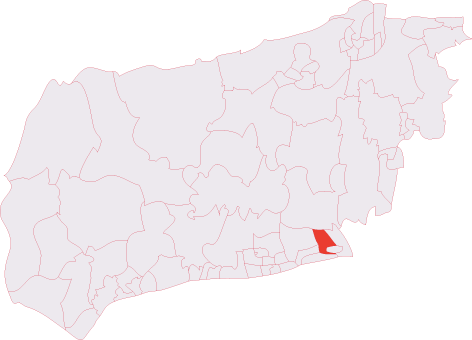
Shoreham (electoral division)

Shoreham is an electoral division of West Sussex in the United Kingdom, and returns one member to sit on West Sussex County Council. == Extent == The division...

St Nicolas Church, Shoreham-by-Sea

St Nicolas Church is an Anglican church in Old Shoreham, an ancient inland settlement that is now part of the town of Shoreham-by-Sea in the district of...

Red Lion Inn, Shoreham-by-Sea

The Red Lion Inn is a 16th-century public house in the ancient Old Shoreham part of the town of Shoreham-by-Sea, in the Adur district of West Sussex, England...

Mill Hill, Shoreham

Mill Hill is a 13.5-hectare (33-acre) Local Nature Reserve on the northern outskirts of Shoreham-by-Sea in West Sussex. It is owned by Adur District Council...

Nearby Amenities

Located within 500m of 50.84541,-0.27863019
Motorway Junction
Adur
Lat/Long: 50.8451058/-0.2838777
Post Box
Brand: Royal Mail
Brand Wikidata: Q638098
Operator: Royal Mail
Operator Wikidata: Q638098
Post Box Type: pillar
Ref: BN43 1524D
Royal Cypher: EIIR
Royal Cypher Wikidata: Q33102113
Lat/Long: 50.842642/-0.273099
Bus Stop
Naptan AtcoCode: 4400AD0391
Naptan NaptanCode: wsxgptwd
Lat/Long: 50.8427355/-0.2738124
Barrier: cattle_grid
Lat/Long: 50.8479098/-0.2792929
Barrier: kissing_gate
Foot: yes
Lat/Long: 50.8462201/-0.2809118
Post Box
Brand: Royal Mail
Brand Wikidata: Q638098
Operator: Royal Mail
Operator Wikidata: Q638098
Post Box Type: pillar
Ref: BN43 1523
Royal Cypher: EIIR
Royal Cypher Wikidata: Q33102113
Lat/Long: 50.8433652/-0.2786091
Generator Method: photovoltaic
Generator Output Electricity: yes
Generator Source: solar
Generator Type: solar_photovoltaic_panel
Location: roof
Power: generator
Lat/Long: 50.8446461/-0.2720218
Generator Method: photovoltaic
Generator Output Electricity: yes
Generator Source: solar
Generator Type: solar_photovoltaic_panel
Location: roof
Power: generator
Lat/Long: 50.8443975/-0.2742398
Generator Method: photovoltaic
Generator Output Electricity: yes
Generator Source: solar
Generator Type: solar_photovoltaic_panel
Location: roof
Power: generator
Lat/Long: 50.8414385/-0.2775944
Bench
Backrest: yes
Seats: 3
Lat/Long: 50.8478541/-0.2795586
Bench
Backrest: yes
Seats: 3
Lat/Long: 50.8482097/-0.2798362
Bus Stop
Shoreham Flyover
Bus: yes
Naptan AtcoCode: 4400HR0781
Naptan NaptanCode: wsxdwjmj
Public Transport: platform
Lat/Long: 50.8439895/-0.285022
Bus Stop
Shoreham Flyover
Bus: yes
Public Transport: platform
Lat/Long: 50.8447166/-0.2847737
Waste Basket
Lat/Long: 50.8478647/-0.2793896
Barr: k
Lat/Long: 50.8478589/-0.2793913
Waste Basket
Lat/Long: 50.8427022/-0.2810419
The data included in this document is from www.openstreetmap.org. The data is made available under ODbL.

Have you been to Mill Hill?

Leave your review of Mill Hill below (or comments, questions and feedback).