Furze Hill

Hill, Mountain in Hertfordshire Hertsmere

England

Furze Hill

Shenley Road, Borehamwood Heading south the A5 (as was) was closed in Radlett and all traffic was diverted through Borehamwood. I was tempted to pick up a Wimpy as there are very few left now.
Shenley Road, Borehamwood Credit: David Howard

Furze Hill is a prominent hill located in the county of Hertfordshire, England. Situated near the small village of Little Hadham, it forms part of the picturesque landscape of the East Hertfordshire district. The hill is known for its distinctive furze, or gorse, which covers its slopes and lends it its name.

Rising to a height of approximately 98 meters (322 feet), Furze Hill offers sweeping views of the surrounding countryside. From its summit, one can admire the undulating fields, woodlands, and charming villages that characterize the area. On a clear day, it is even possible to catch a glimpse of the distant Chiltern Hills to the west.

The area surrounding Furze Hill is rich in biodiversity, with a variety of flora and fauna inhabiting its slopes. The hill's gorse bushes provide a habitat for numerous bird species, including linnets and Stonechats. In addition, the hill is home to a diverse range of wildflowers, such as heather and orchids, which add splashes of color to the landscape throughout the year.

Furze Hill is a popular destination for outdoor enthusiasts, offering opportunities for walking, hiking, and nature appreciation. Several footpaths and trails traverse its slopes, allowing visitors to explore the area at their own pace. The hill's accessibility and natural beauty make it a favored spot for locals and visitors alike, seeking tranquility and a connection with the countryside.

In conclusion, Furze Hill in Hertfordshire is a picturesque and biodiverse hill that provides stunning views of the surrounding countryside. Its gorse-covered slopes, diverse wildlife, and numerous walking trails make it a cherished destination for nature lovers and outdoor enthusiasts.

If you have any feedback on the listing, please let us know in the comments section below.
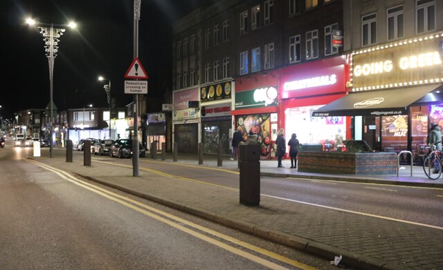
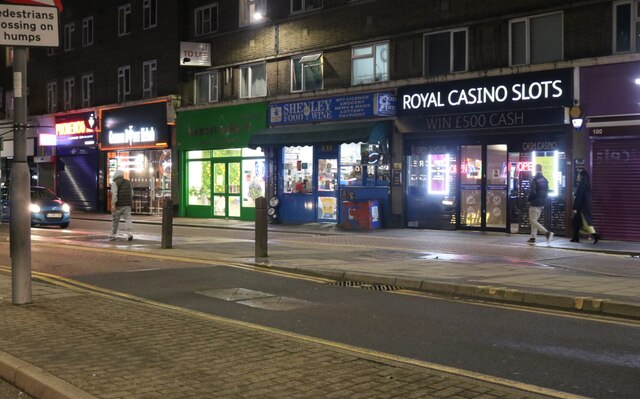
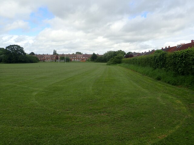
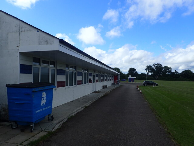
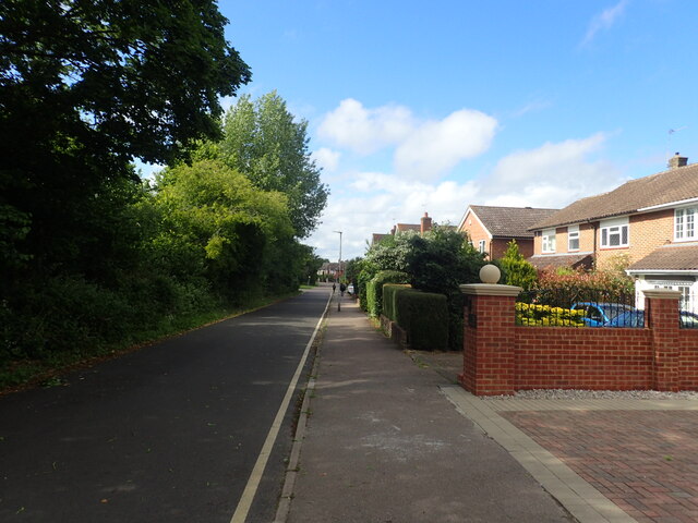
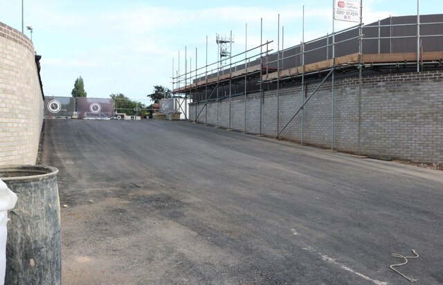
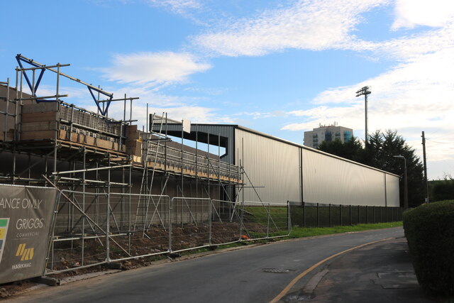
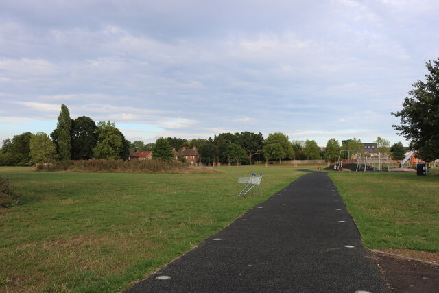
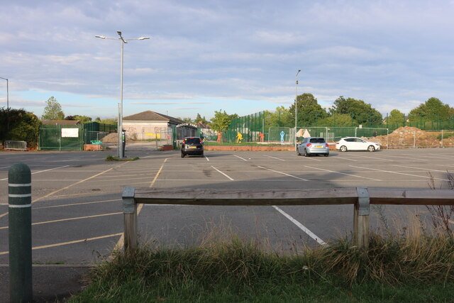
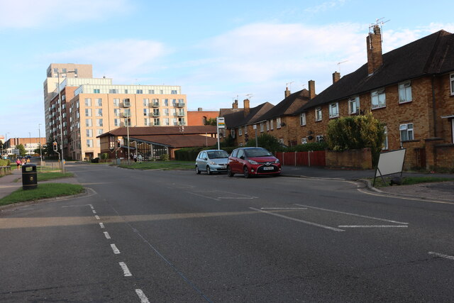
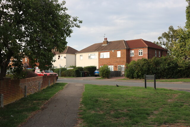
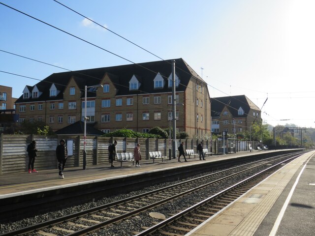
Furze Hill Images

Images are sourced within 2km of 51.645657/-0.26900132 or Grid Reference TQ1995. Thanks to Geograph Open Source API. All images are credited.

Shenley Road, Borehamwood Heading south the A5 (as was) was closed in Radlett and all traffic was diverted through Borehamwood. I was tempted to pick up a Wimpy as there are very few left now.
Shenley Road, Borehamwood
Heading south the A5 (as was) was closed in Radlett and all traffic was diverted through Borehamwood. I was tempted to pick up a Wimpy as there are very few left now.
Shenley Road, Borehamwood
Rugby and cricket ground alongside Croxdale Road This is the Old Haberdashers Sports Ground.
Rugby and cricket ground alongside Croxdale Road
This is the Old Haberdashers Sports Ground.
Rugby and cricket ground alongside Croxdale Road This is the Old Haberdashers Sports Ground - see also <a title="https://www.geograph.org.uk/photo/7182342" href="https://www.geograph.org.uk/photo/7182342">Link</a>
Rugby and cricket ground alongside Croxdale Road
This is the Old Haberdashers Sports Ground - see also Link
Theobald Street, Borehamwood The main part of Theobald Street runs parallel to this service road on the other side of the trees on the left
Theobald Street, Borehamwood
The main part of Theobald Street runs parallel to this service road on the other side of the trees on the left
The entrance to Borehamwood FC The ground is currently being rebuilt and this is the road entrance which is not yet in use, the pedestrian entrance runs parallel to the left.
The entrance to Borehamwood FC
The ground is currently being rebuilt and this is the road entrance which is not yet in use, the pedestrian entrance runs parallel to the left.
Meadow Park Stadium, Borehamwood Currently being rebuilt, this is the home of Borehamwood FC.
Meadow Park Stadium, Borehamwood
Currently being rebuilt, this is the home of Borehamwood FC.
Meadow Park, Borehamwood
Construction work at Borehamwood FC The whole stadium is being rebuilt.
Construction work at Borehamwood FC
The whole stadium is being rebuilt.
The pedestrian entrance to Borehamwood FC This is all in the process of construction.
The pedestrian entrance to Borehamwood FC
This is all in the process of construction.
Meadow Park, Borehamwood Looking towards Broughinge Road.
Meadow Park, Borehamwood
Looking towards Broughinge Road.
Liberty Court, Borehamwood
Fairbrook Medical Centre, Borehamwood
Meadow Park car park, Borehamwood
Brook Road, Borehamwood
Broughinge Road, Borehamwood
Elstree & Borehamwood railway station Elstree & Borehamwood is a railway station on the "Thameslink" route between London, St. Albans and Bedford.  It is served by suburban trains.  The railway is electrified using overhead cables.

This image was taken on a bright and sunny early November day.  At this time of year, the sun is low in the sky therefore shadows were long.
Elstree & Borehamwood railway station
Elstree & Borehamwood is a railway station on the "Thameslink" route between London, St. Albans and Bedford. It is served by suburban trains. The railway is electrified using overhead cables. This image was taken on a bright and sunny early November day. At this time of year, the sun is low in the sky therefore shadows were long.
Penta Court, Borehamwood Penta Court is a mixed-use block in Borehamwood.  Part of the building is offices, but it also contains residential apartments.

This image was taken on a bright and sunny early November day.  At this time of year, the sun is low in the sky therefore shadows were long.
Penta Court, Borehamwood
Penta Court is a mixed-use block in Borehamwood. Part of the building is offices, but it also contains residential apartments. This image was taken on a bright and sunny early November day. At this time of year, the sun is low in the sky therefore shadows were long.
Show me another place!

Furze Hill is located at Grid Ref: TQ1995 (Lat: 51.645657, Lng: -0.26900132)

Administrative County: Hertfordshire

District: Hertsmere

Police Authority: Hertfordshire

What 3 Words

///people.maps.issue. Near Borehamwood, Hertfordshire

Related Wikis

Woodcock Hill Village Green

Woodcock Hill Village Green or Woodcock Hill Open Space is an area of grass and woodland in Borehamwood in Hertfordshire in England. It was designated...

Scratchwood

Scratchwood is an extensive, mainly wooded, country park in Mill Hill in the London Borough of Barnet. The 57-hectare site is a Site of Metropolitan Importance...

Deacon's Hill

Deacon's Hill is an area of Elstree, Hertfordshire, England. It is the part of the town which lies to the immediate west of the railway line and is informally...

Yavneh College, Borehamwood

Yavneh College is a co-educational, Jewish, secondary and sixth form school. A comprehensive with five-form entry for ages 11–18 yrs, it is part of the...

Elstree & Borehamwood railway station

Elstree & Borehamwood railway station is a railway station in the town of Borehamwood, Hertfordshire, England. It primarily serves Borehamwood as well...

Gate Studios

Gate Studios was one of the many studios known collectively as Elstree Studios in the town of Borehamwood, England. Opened in 1928, the studios were in...

Big Brother (British series 6)

Big Brother 2005, also known as Big Brother 6, was the sixth series of the British reality television series Big Brother. The show followed sixteen contestants...

Celebrity Big Brother (British series 11)

Celebrity Big Brother 11 was the eleventh series of the British reality television series Celebrity Big Brother. It launched on 3 January 2013, and aired...

Nearby Amenities

Located within 500m of 51.645657,-0.26900132
Mini Roundabout
Traffic Calming: table
Lat/Long: 51.6494074/-0.2672225
Mini Roundabout
Direction: clockwise
Traffic Calming: table
Lat/Long: 51.6489573/-0.2737337
Give Way
Direction: backward
Lat/Long: 51.6496488/-0.268266
Crossing
Crossing: unmarked
Crossing Island: no
Tactile Paving: yes
Traffic Calming: island
Lat/Long: 51.6475441/-0.2636015
Bus Stop
The Green
Bus: yes
Naptan AtcoCode: 210021002025
Naptan Bearing: N
Naptan CommonName: The Green
Naptan Indicator: opp
Naptan Landmark: Unknown
Naptan NaptanCode: hrtgpjwg
Naptan PlusbusZoneRef: ELTR
Naptan ShortCommonName: NA
Naptan Street: Milton Drive
Naptan Verified: no
Public Transport: platform
Shelter: no
Source: naptan_import
Lat/Long: 51.649825/-0.2693546
Bus Stop
Tennison Avenue
Naptan AtcoCode: 210021002030
Naptan Bearing: SW
Naptan CommonName: Tennison Avenue
Naptan Crossing: Vale Avenue
Naptan Indicator: SW-bound
Naptan Landmark: Vale Avenue
Naptan NaptanCode: hrtgpjwj
Naptan PlusbusZoneRef: ELTR
Naptan ShortCommonName: NA
Naptan Street: Tennison Avenue
Naptan Verified: no
Public Transport: platform
Source: naptan_import
Lat/Long: 51.6486744/-0.2722825
Bus Stop
The Green
Bus: yes
Naptan AtcoCode: 210021002050
Naptan Bearing: S
Naptan CommonName: The Green
Naptan Indicator: adj
Naptan Landmark: Unknown
Naptan NaptanCode: hrtgpjwp
Naptan PlusbusZoneRef: ELTR
Naptan ShortCommonName: NA
Naptan Street: Milton Drive
Naptan Verified: no
Public Transport: platform
Shelter: no
Source: naptan_import
Lat/Long: 51.6497441/-0.269174
Bus Stop
Cleveland Crescent
Bench: yes
Bin: yes
Bus: yes
Naptan AtcoCode: 210021002340
Naptan Bearing: NE
Naptan CommonName: Cleveland Crescent
Naptan Indicator: adj
Naptan Landmark: Unknown
Naptan NaptanCode: hrtgpjmg
Naptan PlusbusZoneRef: ELTR
Naptan ShortCommonName: NA
Naptan Street: Cranes Way
Naptan Verified: no
Public Transport: platform
Ref: 48723
Shelter: yes
Source: naptan_import
Tactile Paving: no
Lat/Long: 51.6483707/-0.2632537
Bus Stop
Cleveland Crescent
Bench: yes
Bin: yes
Bus: yes
Naptan AtcoCode: 210021004460
Naptan Bearing: S
Naptan CommonName: Cleveland Crescent
Naptan Indicator: opp
Naptan Landmark: Unknown
Naptan NaptanCode: hrtgpaja
Naptan PlusbusZoneRef: ELTR
Naptan ShortCommonName: NA
Naptan Street: Cranes Way
Naptan Verified: no
Public Transport: platform
Ref: 48717
Shelter: yes
Source: naptan_import
Tactile Paving: no
Lat/Long: 51.6480688/-0.2634139
Bus Stop
Tennison Avenue
Naptan AtcoCode: 210021004705
Naptan Bearing: NE
Naptan CommonName: Tennison Avenue
Naptan Crossing: Vale Avenue
Naptan Indicator: NE-bound
Naptan Landmark: Vale Avenue
Naptan NaptanCode: hrtgmwpm
Naptan PlusbusZoneRef: ELTR
Naptan ShortCommonName: NA
Naptan Street: Tennison Avenue
Naptan Verified: no
Public Transport: platform
Source: naptan_import
Lat/Long: 51.648958/-0.2719971
Bus Stop
Cranes Way
Naptan AtcoCode: 210021004770
Naptan Bearing: SE
Naptan CommonName: Cranes Way
Naptan Indicator: nr
Naptan Landmark: Unknown
Naptan NaptanCode: hrtgmwtm
Naptan PlusbusZoneRef: ELTR
Naptan ShortCommonName: NA
Naptan Street: Furzehill Road
Naptan Verified: no
Public Transport: platform
Source: naptan_import
Lat/Long: 51.6483146/-0.2649314
Crossing
Bicycle: yes
Crossing: traffic_signals
Crossing Island: no
Crossing Ref: toucan
Tactile Paving: yes
Lat/Long: 51.649557/-0.2675184
Crossing
Crossing: unmarked
Lat/Long: 51.6498041/-0.268127
Crossing
Crossing: unmarked
Crossing Island: no
Lat/Long: 51.647689/-0.263963
Crossing
Crossing: unmarked
Lat/Long: 51.6452946/-0.2651104
Barrier: entrance
Lat/Long: 51.6428821/-0.2655925
Direction: 185
Generator Method: photovoltaic
Generator Output Electricity: yes
Generator Solar Modules: 14
Generator Source: solar
Generator Type: solar_photovoltaic_panel
Location: roof
Power: generator
Lat/Long: 51.6450067/-0.2654566
Direction: 220
Generator Method: photovoltaic
Generator Output Electricity: yes
Generator Solar Modules: 16
Generator Source: solar
Generator Type: solar_photovoltaic_panel
Location: roof
Power: generator
Lat/Long: 51.6478509/-0.2634717
Crossing
Crossing: unmarked
Lat/Long: 51.648464/-0.2654835
Traffic Calming: island
Lat/Long: 51.6492141/-0.2668444
Traffic Calming: cushion
Lat/Long: 51.6497565/-0.2679092
Traffic Calming: cushion
Lat/Long: 51.6500867/-0.2685589
Direction: 235
Generator Method: photovoltaic
Generator Output Electricity: yes
Generator Solar Modules: 6
Generator Source: solar
Generator Type: solar_photovoltaic_panel
Location: roof
Power: generator
Lat/Long: 51.6475881/-0.2681797
Direction: 145
Generator Method: photovoltaic
Generator Output Electricity: yes
Generator Solar Modules: 5
Generator Source: solar
Generator Type: solar_photovoltaic_panel
Location: roof
Power: generator
Lat/Long: 51.6475847/-0.2681186
Direction: 120
Generator Method: photovoltaic
Generator Output Electricity: yes
Generator Solar Modules: 16
Generator Source: solar
Generator Type: solar_photovoltaic_panel
Location: roof
Power: generator
Lat/Long: 51.6468338/-0.2715832
Direction: 230
Generator Method: photovoltaic
Generator Output Electricity: yes
Generator Solar Modules: 10
Generator Source: solar
Generator Type: solar_photovoltaic_panel
Location: roof
Power: generator
Lat/Long: 51.6479338/-0.2719324
Direction: 230
Generator Method: photovoltaic
Generator Output Electricity: yes
Generator Solar Modules: 12
Generator Source: solar
Generator Type: solar_photovoltaic_panel
Location: roof
Power: generator
Lat/Long: 51.6481497/-0.2715333
Direction: 230
Generator Method: photovoltaic
Generator Output Electricity: yes
Generator Solar Modules: 5
Generator Source: solar
Generator Type: solar_photovoltaic_panel
Location: roof
Power: generator
Lat/Long: 51.648566/-0.2714817
Direction: 230
Generator Method: photovoltaic
Generator Output Electricity: yes
Generator Solar Modules: 12
Generator Source: solar
Generator Type: solar_photovoltaic_panel
Location: roof
Power: generator
Lat/Long: 51.6486945/-0.2709365
Direction: 230
Generator Method: photovoltaic
Generator Output Electricity: yes
Generator Solar Modules: 14
Generator Source: solar
Generator Type: solar_photovoltaic_panel
Location: roof
Power: generator
Lat/Long: 51.648653/-0.2708773
Direction: 140
Generator Method: photovoltaic
Generator Output Electricity: yes
Generator Solar Modules: 10
Generator Source: solar
Generator Type: solar_photovoltaic_panel
Location: roof
Power: generator
Lat/Long: 51.6489165/-0.2707621
Direction: 140
Generator Method: photovoltaic
Generator Output Electricity: yes
Generator Solar Modules: 10
Generator Source: solar
Generator Type: solar_photovoltaic_panel
Location: roof
Power: generator
Lat/Long: 51.6491842/-0.2700663
Direction: 175
Generator Method: photovoltaic
Generator Output Electricity: yes
Generator Solar Modules: 10
Generator Source: solar
Generator Type: solar_photovoltaic_panel
Location: roof
Power: generator
Lat/Long: 51.6494452/-0.2683743
Information: board
Tourism: information
Lat/Long: 51.6449237/-0.2722885
Information: board
Tourism: information
Lat/Long: 51.6453731/-0.2705129
Information: board
Tourism: information
Lat/Long: 51.6482898/-0.2729658
Crossing
Crossing: unmarked
Lat/Long: 51.6495765/-0.2690142
Crossing
Crossing: unmarked
Lat/Long: 51.6478074/-0.2717721
Street Lamp
Lat/Long: 51.6477466/-0.2640656
Give Way
Direction: backward
Lat/Long: 51.6484798/-0.2654615
Give Way
Direction: forward
Lat/Long: 51.6483921/-0.2655917
Crossing
Crossing: unmarked
Crossing Island: no
Tactile Paving: yes
Lat/Long: 51.649367/-0.2675617
Give Way
Direction: backward
Lat/Long: 51.6486951/-0.2663043
Give Way
Direction: forward
Lat/Long: 51.6464224/-0.2704442
Give Way
Direction: forward
Lat/Long: 51.6498174/-0.2681104
Give Way
Direction: forward
Lat/Long: 51.6477013/-0.2634443
Give Way
Direction: backward
Lat/Long: 51.6460888/-0.261843
Traffic Signals
Traffic Signals Direction: forward
Lat/Long: 51.6495868/-0.2675767
Traffic Signals
Traffic Signals Direction: backward
Lat/Long: 51.6495314/-0.2674678
Turning Circle
Lat/Long: 51.6469657/-0.2654934
The data included in this document is from www.openstreetmap.org. The data is made available under ODbL.

Have you been to Furze Hill?

Leave your review of Furze Hill below (or comments, questions and feedback).