Deacons Hill

Settlement in Hertfordshire Hertsmere

England

Deacons Hill

Derelict restaurant on Watling Street, Elstree
Derelict restaurant on Watling Street, Elstree Credit: David Howard

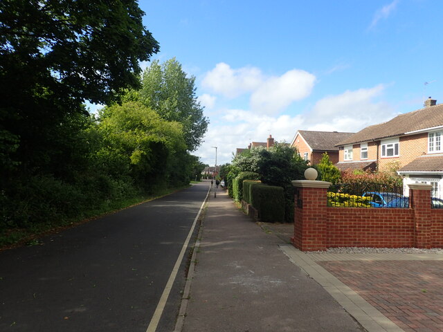
Deacons Hill is a small village located in the county of Hertfordshire, England. It is situated approximately 20 miles northwest of London and is part of the Three Rivers district. The village is surrounded by picturesque countryside and offers a peaceful and idyllic setting for its residents.

Deacons Hill is primarily a residential area, with a mix of detached houses and cottages, providing a range of housing options for its inhabitants. The village has a close-knit community atmosphere, with a strong sense of community spirit and pride evident among its residents.

Although Deacons Hill is a small village, it is well-connected to neighboring towns and cities. The nearby town of Rickmansworth is just a short drive away and offers a range of amenities, including shops, supermarkets, and leisure facilities. The village also benefits from excellent transport links, with easy access to major road networks such as the M25 and M1, making it an ideal location for commuters.

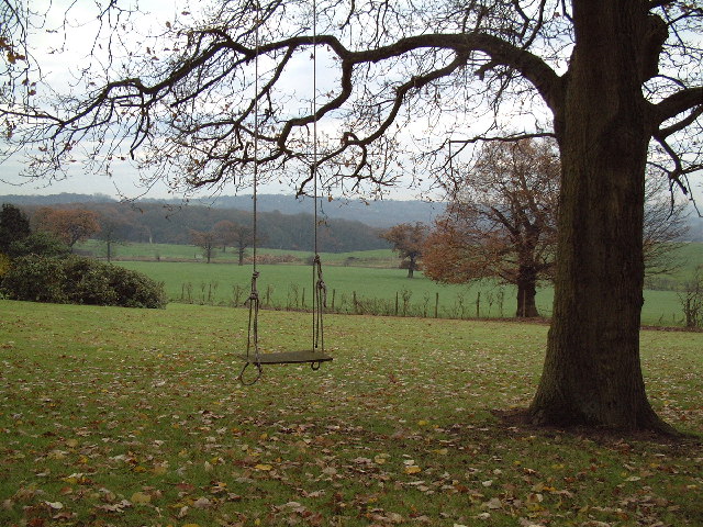
In terms of recreational activities, Deacons Hill is surrounded by beautiful countryside, providing ample opportunities for outdoor pursuits such as walking, cycling, and horse riding. The village also benefits from its close proximity to the Chiltern Hills, an Area of Outstanding Natural Beauty, which offers stunning landscapes and scenic walks.

Overall, Deacons Hill is a charming village that offers a peaceful and rural lifestyle, while still providing convenient access to nearby towns and cities. Its idyllic setting, strong community spirit, and range of amenities make it an attractive place to live for those seeking a quieter, more rural way of life.

If you have any feedback on the listing, please let us know in the comments section below.
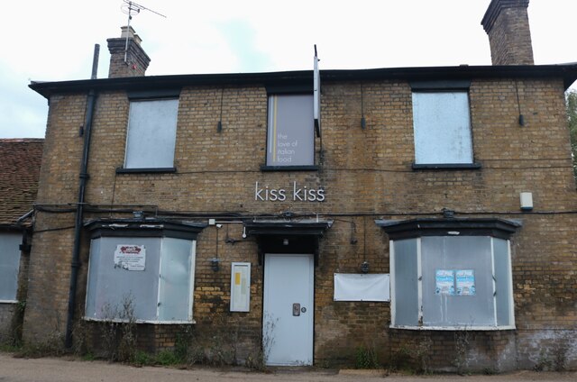
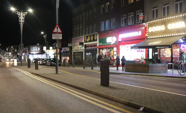
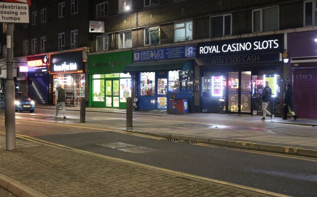
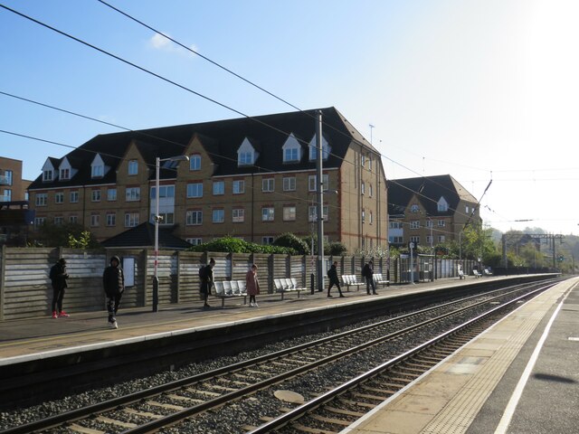
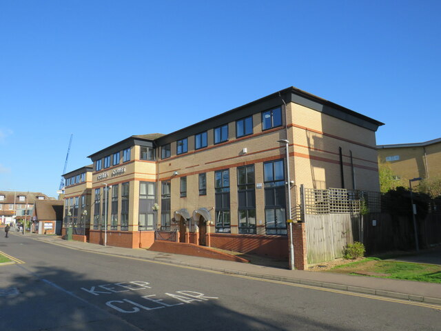
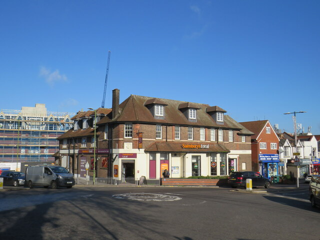
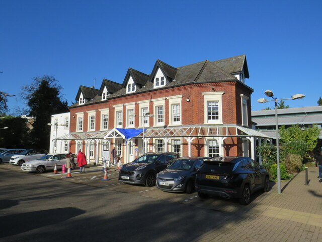
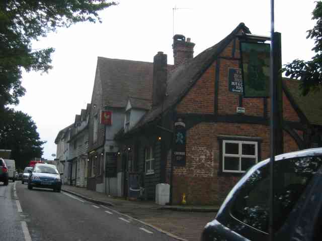
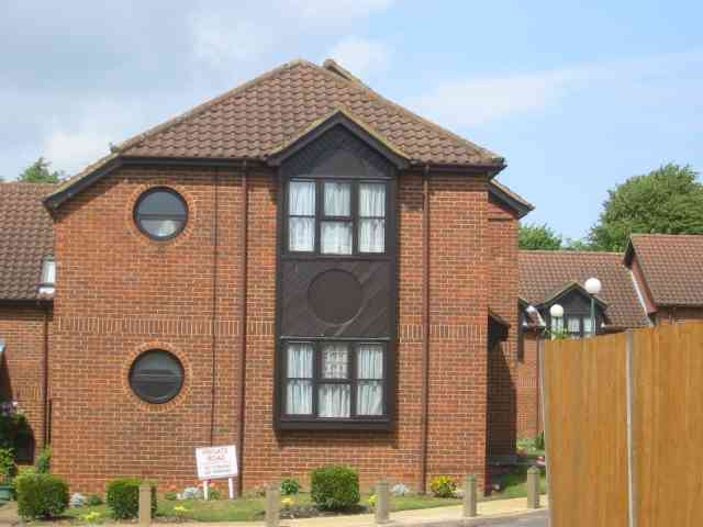
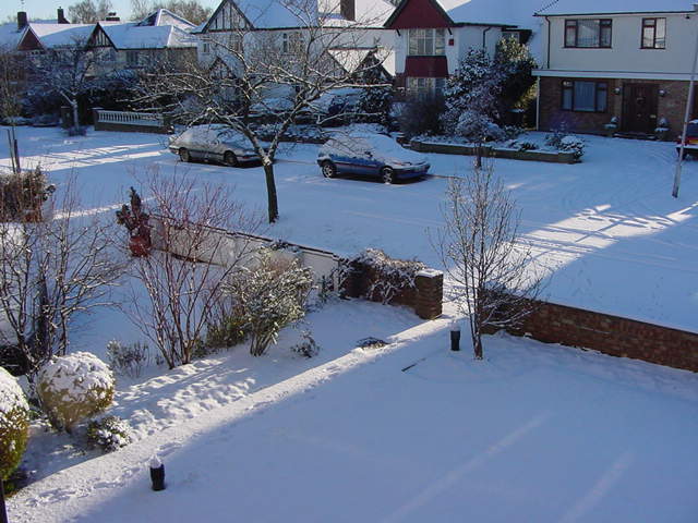
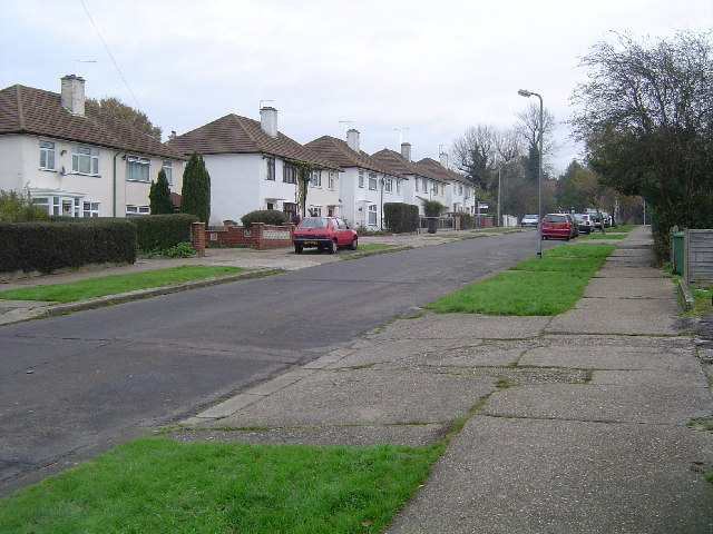
Deacons Hill Images

Images are sourced within 2km of 51.641222/-0.2816859 or Grid Reference TQ1995. Thanks to Geograph Open Source API. All images are credited.

Derelict restaurant on Watling Street, Elstree
Shenley Road, Borehamwood Heading south the A5 (as was) was closed in Radlett and all traffic was diverted through Borehamwood. I was tempted to pick up a Wimpy as there are very few left now.
Shenley Road, Borehamwood
Heading south the A5 (as was) was closed in Radlett and all traffic was diverted through Borehamwood. I was tempted to pick up a Wimpy as there are very few left now.
Shenley Road, Borehamwood
Theobald Street, Borehamwood The main part of Theobald Street runs parallel to this service road on the other side of the trees on the left
Theobald Street, Borehamwood
The main part of Theobald Street runs parallel to this service road on the other side of the trees on the left
Elstree & Borehamwood railway station Elstree & Borehamwood is a railway station on the "Thameslink" route between London, St. Albans and Bedford.  It is served by suburban trains.  The railway is electrified using overhead cables.

This image was taken on a bright and sunny early November day.  At this time of year, the sun is low in the sky therefore shadows were long.
Elstree & Borehamwood railway station
Elstree & Borehamwood is a railway station on the "Thameslink" route between London, St. Albans and Bedford. It is served by suburban trains. The railway is electrified using overhead cables. This image was taken on a bright and sunny early November day. At this time of year, the sun is low in the sky therefore shadows were long.
Penta Court, Borehamwood Penta Court is a mixed-use block in Borehamwood.  Part of the building is offices, but it also contains residential apartments.

This image was taken on a bright and sunny early November day.  At this time of year, the sun is low in the sky therefore shadows were long.
Penta Court, Borehamwood
Penta Court is a mixed-use block in Borehamwood. Part of the building is offices, but it also contains residential apartments. This image was taken on a bright and sunny early November day. At this time of year, the sun is low in the sky therefore shadows were long.
Sainsbury's Local, Borehamwood A Sainsbury's Local shop in Borehamwood.  The building was previously a pub.
Sainsbury's Local, Borehamwood
A Sainsbury's Local shop in Borehamwood. The building was previously a pub.
Allum Manor, Borehamwood Allum Manor is a manor house, parts of which date from the 17th Century, in Borehamwood.  More information about the house can be found on the Allum Manor website: <span class="nowrap"><a title="https://www.allummanor.co.uk/key-information/our-history" rel="nofollow ugc noopener" href="https://www.allummanor.co.uk/key-information/our-history">Link</a><img style="margin-left:2px;" alt="External link" title="External link - shift click to open in new window" src="https://s1.geograph.org.uk/img/external.png" width="10" height="10"/></span>
Allum Manor, Borehamwood
Allum Manor is a manor house, parts of which date from the 17th Century, in Borehamwood. More information about the house can be found on the Allum Manor website: LinkExternal link
Mural at Borehamwood This is just outside Elstree & Borehamwood station and relates to the fact that both Elstree and Borehamwood have a long history linking them to the British film industry.
Mural at Borehamwood
This is just outside Elstree & Borehamwood station and relates to the fact that both Elstree and Borehamwood have a long history linking them to the British film industry.
A street of houses beyond a gate This is in Borehamwood and the BBC Elstree Centre is on the other side of the gate. The houses are part of the set of Eastenders.
A street of houses beyond a gate
This is in Borehamwood and the BBC Elstree Centre is on the other side of the gate. The houses are part of the set of Eastenders.
Remains of Viaduct at Brockley Hill This is all that remains of a partially built section of line, which would have extended the Northern Line all the way to Bushey Heath via stations at Elstree South and this location.
Remains of Viaduct at Brockley Hill
This is all that remains of a partially built section of line, which would have extended the Northern Line all the way to Bushey Heath via stations at Elstree South and this location.
Pub in Elstree This shot was taken through the windscreen whilst waiting for the traffic lights to change
Pub in Elstree
This shot was taken through the windscreen whilst waiting for the traffic lights to change
Housing in Elstree This housing group has a friendly sign saying 
"private housing, no parking, no turning."
Housing in Elstree
This housing group has a friendly sign saying "private housing, no parking, no turning."
Winter in Elstree Overnight dusting in an affluent area of Elstree.
Winter in Elstree
Overnight dusting in an affluent area of Elstree.
M1 Motorway: Junction 4 Viewed looking eastwards from the A5 Watling Street bridge, the flyover carries the A41 over the motorway, with the slip roads between the two visible on either side.
M1 Motorway: Junction 4
Viewed looking eastwards from the A5 Watling Street bridge, the flyover carries the A41 over the motorway, with the slip roads between the two visible on either side.
Elstree: Watling Street The old A5 Watling Street (now the A5183) in the centre of Elstree, viewed looking northwards at the busy junction with the A411. The spire of the Church of St Nicholas is visible in the distance.
Elstree: Watling Street
The old A5 Watling Street (now the A5183) in the centre of Elstree, viewed looking northwards at the busy junction with the A411. The spire of the Church of St Nicholas is visible in the distance.
Elstree: Beethoven Road... ... and, yes, there is an Elgar Close, and a Delius Close, and a Schubert Road nearby, yet curiously both Tchaikovsky and Rimsky-Korsakov were snubbed by the street naming panel... Ho hum, anyway, aforesaid Beethoven Road viewed looking eastwards towards Watling Street.
Elstree: Beethoven Road...
... and, yes, there is an Elgar Close, and a Delius Close, and a Schubert Road nearby, yet curiously both Tchaikovsky and Rimsky-Korsakov were snubbed by the street naming panel... Ho hum, anyway, aforesaid Beethoven Road viewed looking eastwards towards Watling Street.
From Deacons Hill A line of hills lies to the north of London, of which Deacons Hill is one. This has long presented a challenge to those building transport links to the north of the capital. The Roman Road, Watling Street skirts Deacon Hill a mile to the west; the Midland main line tunnels directly underneath and the M1 approaches beside the railway before turning sharply west and crossing at the point chosen by the Romans.
From Deacons Hill
A line of hills lies to the north of London, of which Deacons Hill is one. This has long presented a challenge to those building transport links to the north of the capital. The Roman Road, Watling Street skirts Deacon Hill a mile to the west; the Midland main line tunnels directly underneath and the M1 approaches beside the railway before turning sharply west and crossing at the point chosen by the Romans.
Show me another place!

Deacons Hill is located at Grid Ref: TQ1995 (Lat: 51.641222, Lng: -0.2816859)

Administrative County: Hertfordshire

District: Hertsmere

Police Authority: Hertfordshire

What 3 Words

///admiral.races.vision. Near Elstree, Hertfordshire

Related Wikis

Deacon's Hill

Deacon's Hill is an area of Elstree, Hertfordshire, England. It is the part of the town which lies to the immediate west of the railway line and is informally...

The Leys, Elstree

The Leys in Barnet Lane, Elstree, Hertfordshire, is an architecturally notable house that is grade II* listed with Historic England. == References ==

Woodcock Hill Village Green

Woodcock Hill Village Green or Woodcock Hill Open Space is an area of grass and woodland in Borehamwood in Hertfordshire in England. It was designated...

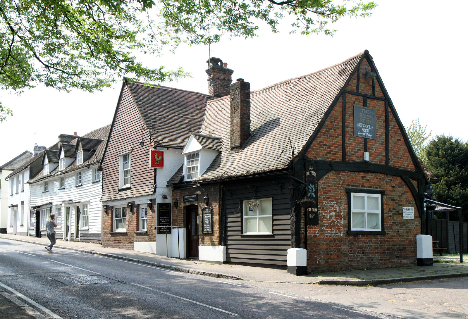
The Holly Bush, Elstree

The Holly Bush is a listed building, formerly a public house, on the High Street, Elstree, Hertfordshire, England. Elstree's High Street was formerly an...

Scratchwood

Scratchwood is an extensive, mainly wooded, country park in Mill Hill in the London Borough of Barnet. The 57-hectare site is a Site of Metropolitan Importance...
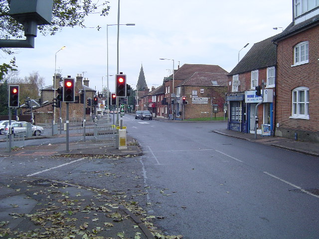
Elstree

Elstree is a large village in the Hertsmere borough of Hertfordshire, England. It is about 15 miles (24 kilometres) northwest of central London on the...

Elstree & Borehamwood railway station

Elstree & Borehamwood railway station is a railway station in the town of Borehamwood, Hertfordshire, England. It primarily serves Borehamwood as well...
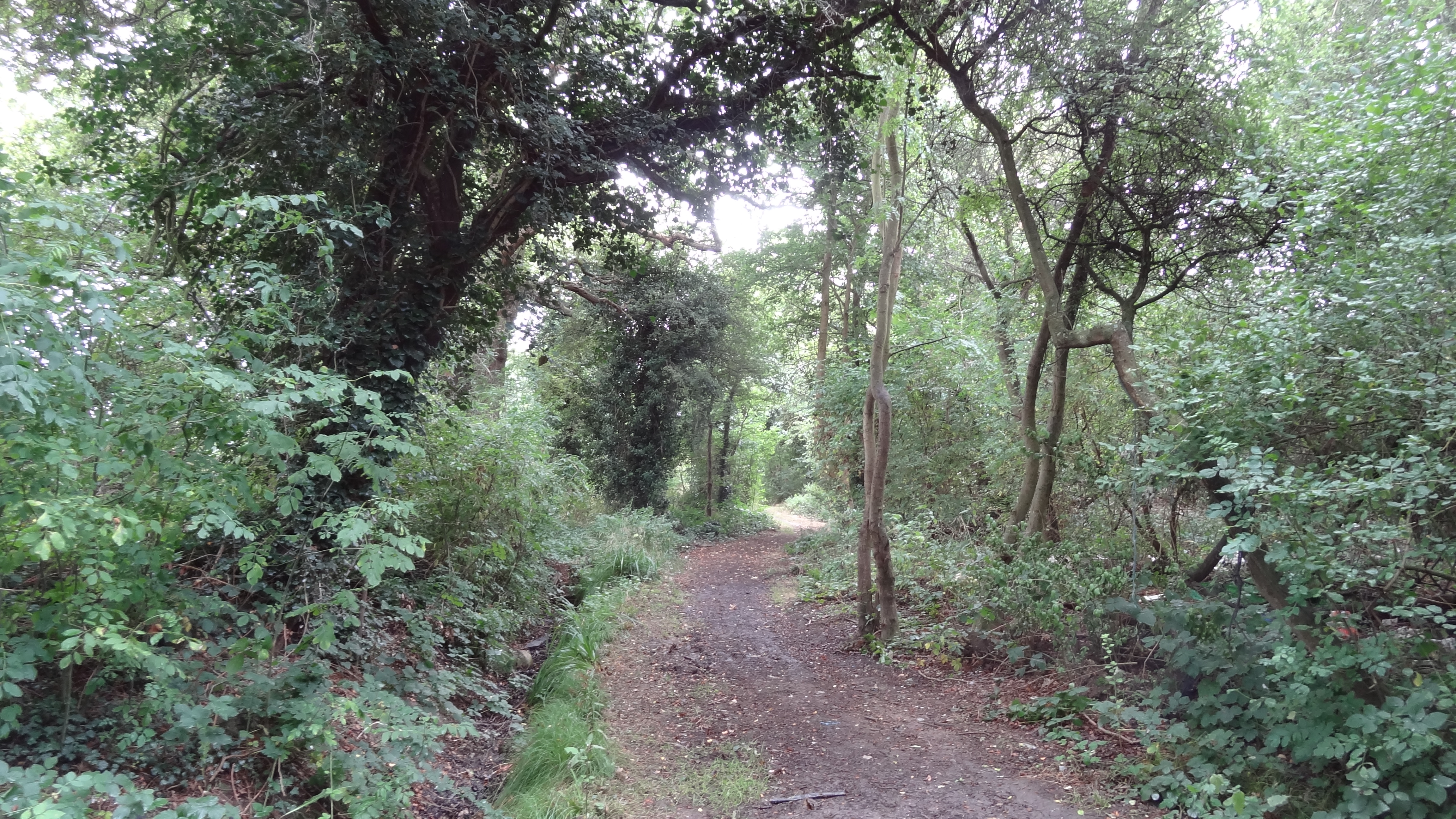
Clay Lane

Clay Lane is a one kilometre long public footpath and bridle way in Edgware in the London Borough of Barnet. It is a Site of Local Importance for Nature...

Nearby Amenities

Located within 500m of 51.641222,-0.2816859
Disused Highway: street_lamp
Lamp Model: Industria Arc 80
Lamp Type: high_pressure_sodium
Light Count: 1
Source: Personal memory
Lat/Long: 51.6382741/-0.2778946
Post Box
Brand: Royal Mail
Brand Wikidata: Q638098
Brand Wikipedia: en:Royal Mail
Collection Times: Mo-Fr 17:30; Sa 11:30
Operator: Royal Mail
Operator Wikidata: Q638098
Ref: WD6 99
Royal Cypher: EIIR
Royal Cypher Wikidata: Q33102113
Lat/Long: 51.6450383/-0.2799539
Northern Heights
Scout: yes
Tourism: camp_site
Url: http://www.northernheights.org.uk/
Lat/Long: 51.6415135/-0.2843057
Disused Highway: street_lamp
Lamp Model: GEC Z8600
Lamp Type: high_pressure_sodium
Light Count: 1
Source: Personal memory
Lat/Long: 51.6380068/-0.2768215
Disused Highway: street_lamp
Lamp Model: GEC Z8600
Lamp Type: high_pressure_sodium
Light Count: 1
Source: Personal memory
Lat/Long: 51.6379867/-0.2775117
Disused Highway: street_lamp
Lamp Model: GEC Z8600
Lamp Type: high_pressure_sodium
Light Count: 1
Source: Personal memory
Lat/Long: 51.6378465/-0.2792187
Disused Highway: street_lamp
Lamp Model: GEC Z8600
Lamp Type: high_pressure_sodium
Light Count: 1
Source: Personal memory
Lat/Long: 51.6380029/-0.2803364
Disused Highway: street_lamp
Lamp Model: GEC Z8600
Lamp Type: high_pressure_sodium
Light Count: 1
Source: Personal memory
Lat/Long: 51.6380572/-0.2799888
Disused Highway: street_lamp
Lamp Model: GEC Z8600
Lamp Type: high_pressure_sodium
Light Count: 1
Source: Personal memory
Lat/Long: 51.6381127/-0.2796351
Disused Highway: street_lamp
Lamp Model: Philips SGS203
Lamp Type: high_pressure_sodium
Light Count: 1
Source: Personal memory
Lat/Long: 51.6381556/-0.2792896
Disused Highway: street_lamp
Lamp Model: GEC Z8600
Lamp Type: high_pressure_sodium
Light Count: 1
Source: Personal memory
Lat/Long: 51.6381947/-0.2789338
Disused Highway: street_lamp
Lamp Model: Industria Arc 80
Lamp Type: high_pressure_sodium
Light Count: 1
Source: Personal memory
Lat/Long: 51.638233/-0.278593
Disused Highway: street_lamp
Lamp Model: Industria Arc 80
Lamp Type: high_pressure_sodium
Light Count: 1
Source: Personal memory
Lat/Long: 51.6382501/-0.2782688
Disused Highway: street_lamp
Lamp Model: GEC Z8600
Lamp Type: high_pressure_sodium
Light Count: 1
Source: Personal memory
Lat/Long: 51.6383095/-0.2771667
Disused Highway: street_lamp
Lamp Model: GEC Z8600
Lamp Type: high_pressure_sodium
Light Count: 1
Source: Personal memory
Lat/Long: 51.638295/-0.2775636
Disused Highway: street_lamp
Lamp Model: GEC Z8600
Lamp Type: high_pressure_sodium
Light Count: 1
Source: Personal memory
Lat/Long: 51.6383197/-0.2764895
Disused Highway: street_lamp
Lamp Model: Urbis ZX3
Lamp Type: high_pressure_sodium
Light Count: 1
Source: Personal memory
Lat/Long: 51.6383182/-0.2768538
Disused Highway: street_lamp
Lamp Model: GEC Z8600
Lamp Type: high_pressure_sodium
Light Count: 1
Source: Personal memory
Lat/Long: 51.6380002/-0.2771668
Disused Highway: street_lamp
Lamp Model: GEC Z8600
Lamp Type: high_pressure_sodium
Light Count: 1
Source: Personal memory
Lat/Long: 51.6379683/-0.2778587
Disused Highway: street_lamp
Lamp Model: Philips SGS253
Lamp Type: high_pressure_sodium
Light Count: 1
Source: Personal memory
Lat/Long: 51.6379464/-0.278195
Disused Highway: street_lamp
Lamp Model: Philips SGS203
Lamp Type: high_pressure_sodium
Light Count: 1
Source: Personal memory
Lat/Long: 51.6379211/-0.2785453
Disused Highway: street_lamp
Lamp Model: GEC Z8600
Lamp Type: high_pressure_sodium
Light Count: 1
Source: Personal memory
Lat/Long: 51.6378893/-0.2788798
Disused Highway: street_lamp
Lamp Model: GEC Z8600
Lamp Type: high_pressure_sodium
Light Count: 1
Source: Personal memory
Lat/Long: 51.6378025/-0.279554
Disused Highway: street_lamp
Lamp Model: GEC Z8600
Lamp Type: high_pressure_sodium
Light Count: 1
Source: Personal memory
Lat/Long: 51.637752/-0.2798885
Disused Highway: street_lamp
Lamp Model: GEC Z8600
Lamp Type: high_pressure_sodium
Light Count: 1
Source: Personal memory
Lat/Long: 51.6376982/-0.2802194
Disused Highway: street_lamp
Lamp Model: Urbis ZX3
Lamp Type: high_pressure_sodium
Light Count: 2
Source: Personal memory
Lat/Long: 51.6378355/-0.2803238
Turning Circle
Lat/Long: 51.6451187/-0.2808509
Traffic Calming: cushion
Lat/Long: 51.6451692/-0.2799053
Direction: 145
Generator Method: photovoltaic
Generator Output Electricity: yes
Generator Solar Modules: 9
Generator Source: solar
Generator Type: solar_photovoltaic_panel
Location: roof
Power: generator
Lat/Long: 51.6413826/-0.2842137
Give Way
Direction: forward
Lat/Long: 51.6448322/-0.2798059
Crossing
Crossing: unmarked
Lat/Long: 51.6448773/-0.2798192
Turning Circle
Lat/Long: 51.6447474/-0.2833647
The data included in this document is from www.openstreetmap.org. The data is made available under ODbL.

Have you been to Deacons Hill?

Leave your review of Deacons Hill below (or comments, questions and feedback).