Bunker's Hill
Hill, Mountain in Bedfordshire
England
Bunker's Hill

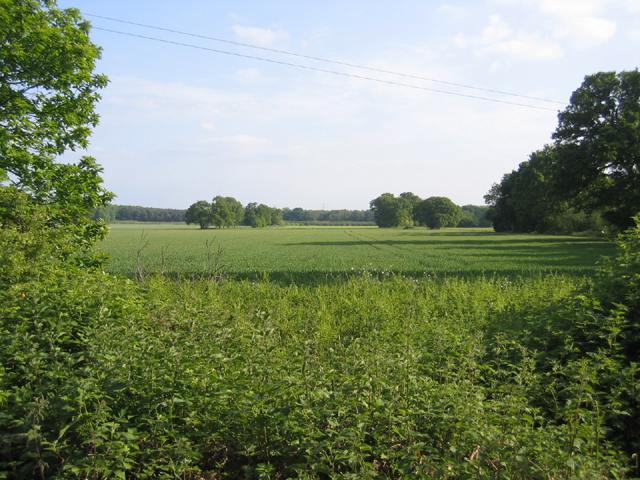
Bunker's Hill is a prominent landmark located in the county of Bedfordshire, England. This hill is often referred to as a "hill" rather than a "mountain" due to its moderate height and gentle slopes. It is situated near the village of Barton-le-Clay, approximately 8 miles north of Luton.
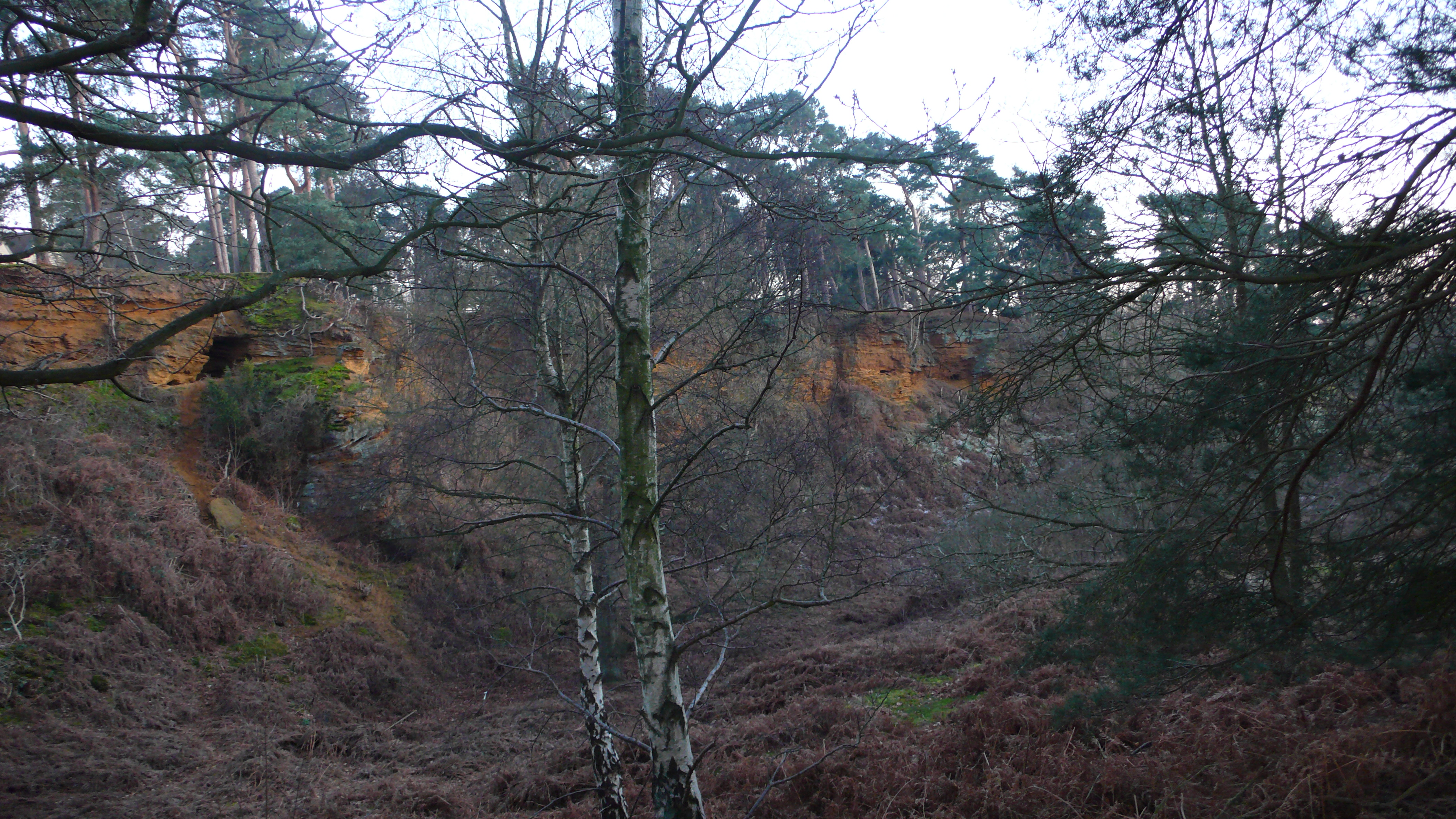
With an elevation of around 594 feet above sea level, Bunker's Hill offers breathtaking panoramic views of the surrounding countryside. The hill is covered in lush greenery, primarily consisting of grass and small shrubs, making it a popular destination for nature enthusiasts and hikers.
Bunker's Hill holds historical significance as it played a role during the English Civil War in the 17th century. It is believed that the hill was used as a vantage point by both the Royalist and Parliamentarian forces, allowing them to monitor the movements of their opponents.
Today, Bunker's Hill is a protected area, designated as a Local Nature Reserve, preserving its natural beauty and historical importance. Visitors can explore the hill through various footpaths and trails, offering a wonderful opportunity to experience the tranquility of the countryside.
The hill is easily accessible, with nearby parking facilities and public transportation options. Additionally, there are picnic areas and benches available, allowing visitors to relax and enjoy the stunning views. Bunker's Hill is a true gem of Bedfordshire, offering a perfect blend of natural beauty and historical significance.
If you have any feedback on the listing, please let us know in the comments section below.
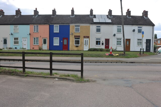
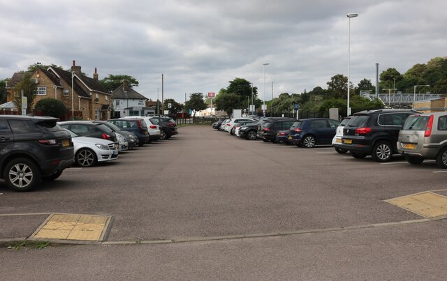
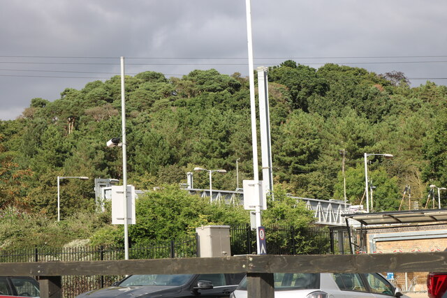
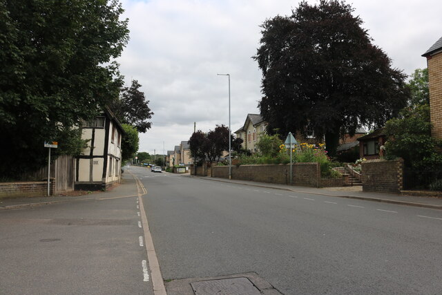
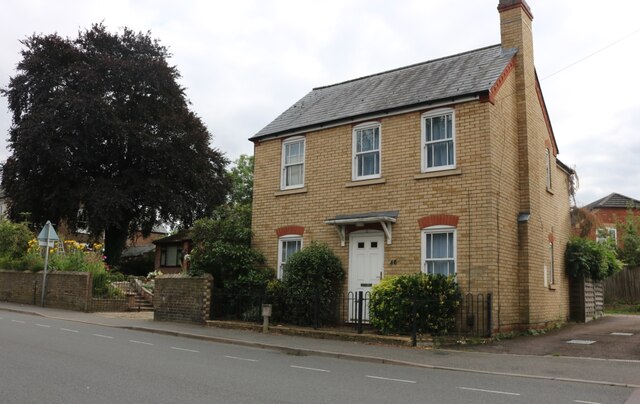
Bunker's Hill Images
Images are sourced within 2km of 52.116581/-0.2612605 or Grid Reference TL1947. Thanks to Geograph Open Source API. All images are credited.


Bunker's Hill is located at Grid Ref: TL1947 (Lat: 52.116581, Lng: -0.2612605)
Unitary Authority: Central Bedfordshire
Police Authority: Bedfordshire
What 3 Words
///easygoing.smirking.cosmetic. Near Sandy, Bedfordshire
Nearby Locations
Related Wikis

Sandy Warren
Sandy Warren is a 16.4-hectare (41-acre) biological Site of Special Scientific Interest in Sandy in Bedfordshire. It is part of The Lodge, a nature reserve...
The Lodge RSPB reserve
RSPB The Lodge is a nature reserve run by the Royal Society for the Protection of Birds (RSPB), named after the building there, The Lodge, which is their...
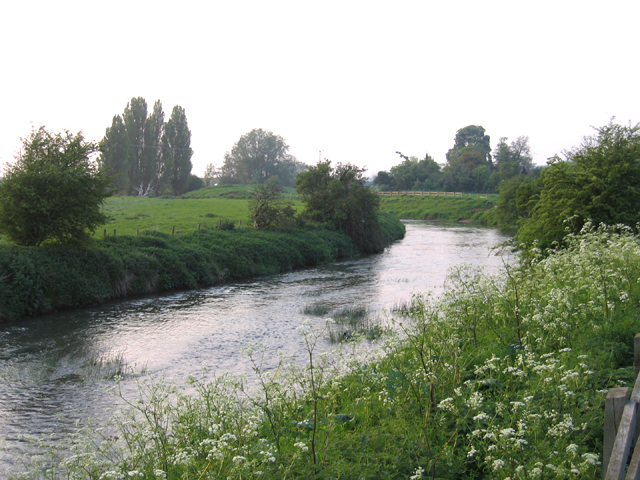
Potton Brook
Potton Brook rises east of Gamlingay, Cambridgeshire, and flows southwest and then south through Potton and the John O'Gaunt Golf Club and into Sutton...

Warren Villas
Warren Villas was a nature reserve managed by the Wildlife Trust for Bedfordshire, Cambridgeshire and Northamptonshire. The former site is situated by...
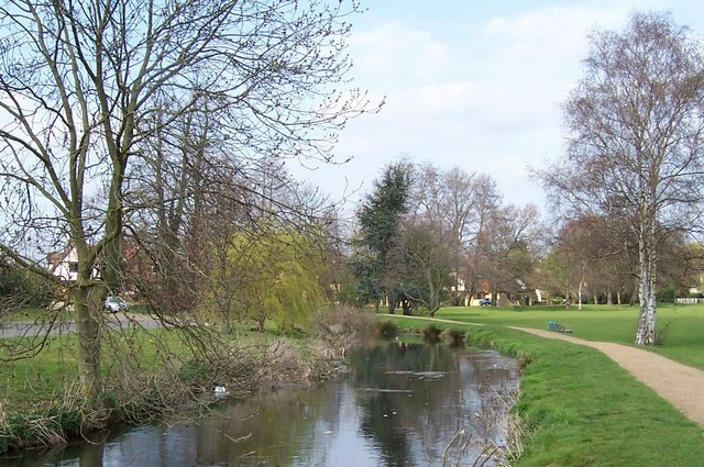
River Ivel
The River Ivel is a north-flowing river in the western part of east of England. It is primarily in Bedfordshire; it is a tributary of the River Great Ouse...

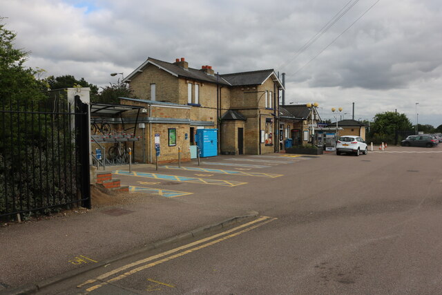
Sandy railway station
Sandy railway station serves the town of Sandy in Bedfordshire, England. It is on the East Coast Main Line, about 44 miles (71 km) from London King's Cross...

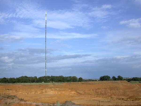
Sandy Heath transmitting station
Sandy Heath transmitting station is a television and radio broadcasting station in England, located between Sandy, Bedfordshire and Potton near the B1042...
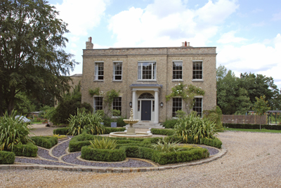
Shortmead House
Shortmead House in Biggleswade, Bedfordshire, is a two-storey Georgian manor house, first mentioned in 1543. The Grade II listed building is lived in by...
Nearby Amenities
Located within 500m of 52.116581,-0.2612605Have you been to Bunker's Hill?
Leave your review of Bunker's Hill below (or comments, questions and feedback).