Biggleswade Common
Downs, Moorland in Bedfordshire
England
Biggleswade Common

The requested URL returned error: 429 Too Many Requests
If you have any feedback on the listing, please let us know in the comments section below.
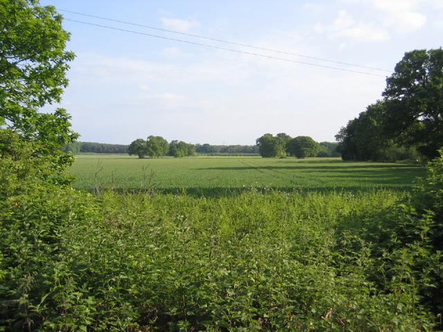
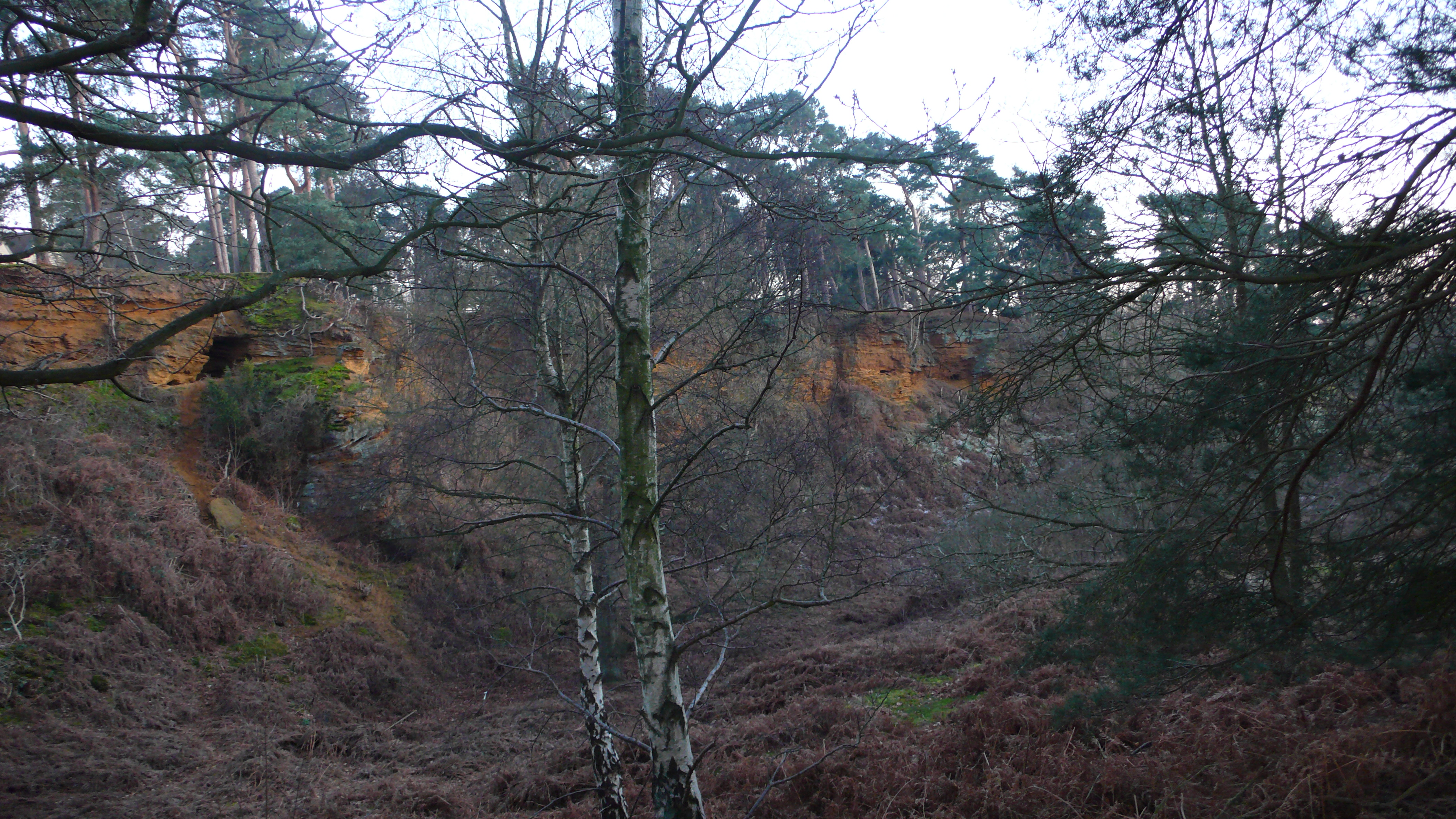
Biggleswade Common Images
Images are sourced within 2km of 52.109831/-0.25470329 or Grid Reference TL1947. Thanks to Geograph Open Source API. All images are credited.


Biggleswade Common is located at Grid Ref: TL1947 (Lat: 52.109831, Lng: -0.25470329)
Unitary Authority: Central Bedfordshire
Police Authority: Bedfordshire
What 3 Words
///prevented.maybe.woes. Near Biggleswade, Bedfordshire
Nearby Locations
Related Wikis
The Lodge RSPB reserve
RSPB The Lodge is a nature reserve run by the Royal Society for the Protection of Birds (RSPB), named after the building there, The Lodge, which is their...

Sandy Warren
Sandy Warren is a 16.4-hectare (41-acre) biological Site of Special Scientific Interest in Sandy in Bedfordshire. It is part of The Lodge, a nature reserve...
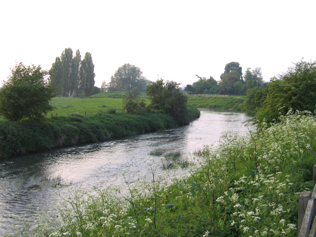
River Ivel
The River Ivel is a north-flowing river in the western part of east of England. It is primarily in Bedfordshire; it is a tributary of the River Great Ouse...

Warren Villas
Warren Villas was a nature reserve managed by the Wildlife Trust for Bedfordshire, Cambridgeshire and Northamptonshire. The former site is situated by...
Nearby Amenities
Located within 500m of 52.109831,-0.25470329Have you been to Biggleswade Common?
Leave your review of Biggleswade Common below (or comments, questions and feedback).