Madders Hill
Hill, Mountain in Huntingdonshire Huntingdonshire
England
Madders Hill

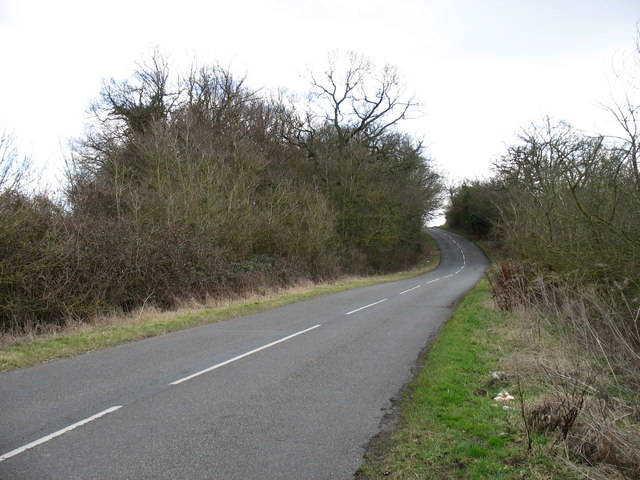
Madders Hill is a prominent geographical feature located in the county of Huntingdonshire, within the eastern region of England. Despite its name, it is more accurately described as a low-lying hill rather than a mountain. Situated amidst the picturesque landscape of the Cambridgeshire Fens, Madders Hill stands at an elevation of approximately 40 meters (131 feet) above sea level.
Covered in lush green vegetation, the hill offers a breathtaking panoramic view of the surrounding countryside. Its slopes are adorned with a variety of plant species, including wildflowers and shrubs, creating a vibrant and colorful scene during the summer months. The area is also known for its rich biodiversity, hosting a diverse range of wildlife, including birds, small mammals, and insects.
Visitors to Madders Hill can explore several walking trails that wind their way through the hill's gentle slopes. These trails provide an opportunity to immerse oneself in the tranquility of the natural surroundings and to enjoy the fresh air. Additionally, the hill is a popular spot for outdoor activities, such as picnicking, birdwatching, and photography.
Madders Hill holds historical significance as well. The nearby village of Madders End, which shares its name, is believed to have derived its name from this landmark. Throughout the years, the hill has remained an integral part of the local culture, attracting both residents and tourists alike.
In summary, Madders Hill in Huntingdonshire is a beautiful and serene location, offering stunning views, diverse flora and fauna, and a peaceful escape from the hustle and bustle of everyday life.
If you have any feedback on the listing, please let us know in the comments section below.
Madders Hill Images
Images are sourced within 2km of 52.316493/-0.29062787 or Grid Reference TL1670. Thanks to Geograph Open Source API. All images are credited.


Madders Hill is located at Grid Ref: TL1670 (Lat: 52.316493, Lng: -0.29062787)
Administrative County: Cambridgeshire
District: Huntingdonshire
Police Authority: Cambridgeshire
What 3 Words
///wipes.newspaper.revived. Near Buckden, Cambridgeshire
Nearby Locations
Related Wikis
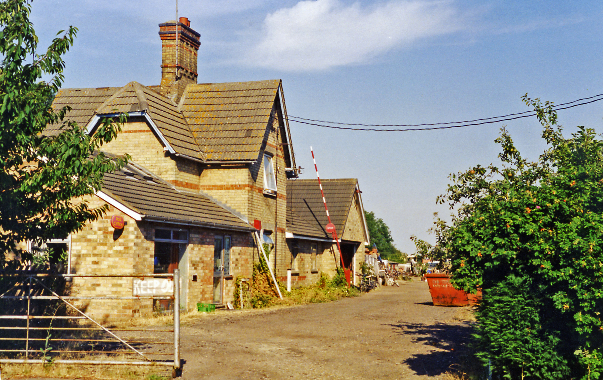
Grafham railway station
Grafham railway station was a railway station in Grafham, Cambridgeshire. The station and its line closed in 1959.In the 1990s the railway station buildings...
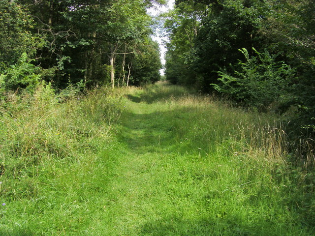
Brampton Wood
Brampton Wood is a 132.1-hectare (326-acre) biological Site of Special Scientific Interest in Cambridgeshire. The site is west of Brampton in Cambridgeshire...
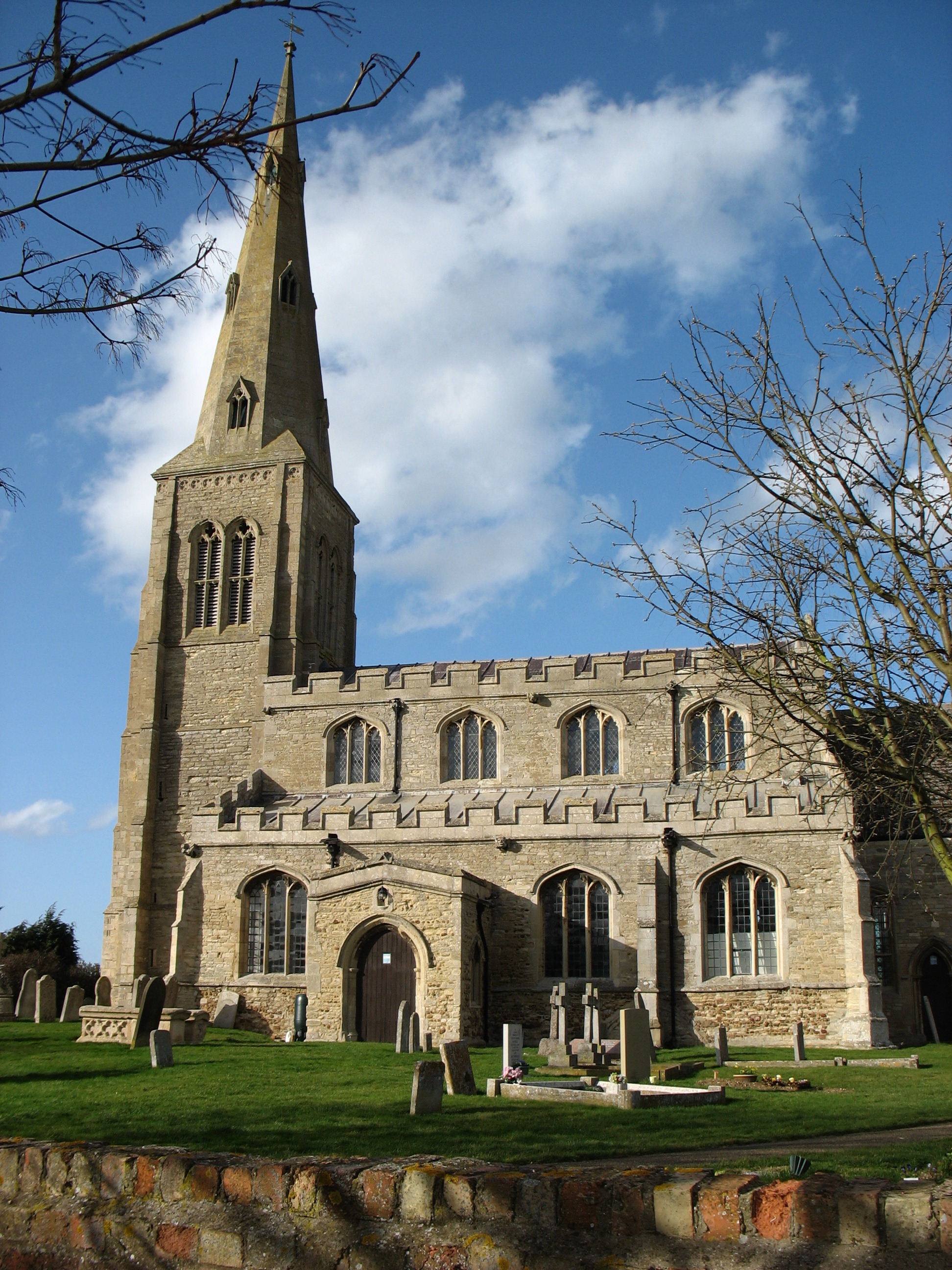
Ellington, Cambridgeshire
Ellington is a village and civil parish in Cambridgeshire, England, 4 miles (6 km) west of Huntingdon in Huntingdonshire, a non-metropolitan district...
Grafham, Cambridgeshire
Grafham is a village and civil parish in Cambridgeshire, England. Grafham lies approximately 5 miles (8 km) south-west of Huntingdon. Grafham is situated...
Nearby Amenities
Located within 500m of 52.316493,-0.29062787Have you been to Madders Hill?
Leave your review of Madders Hill below (or comments, questions and feedback).