Ellington Hill
Hill, Mountain in Huntingdonshire Huntingdonshire
England
Ellington Hill

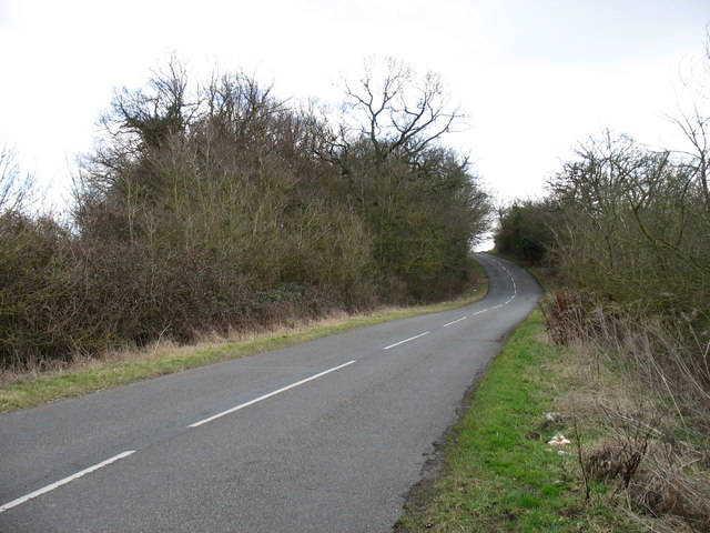
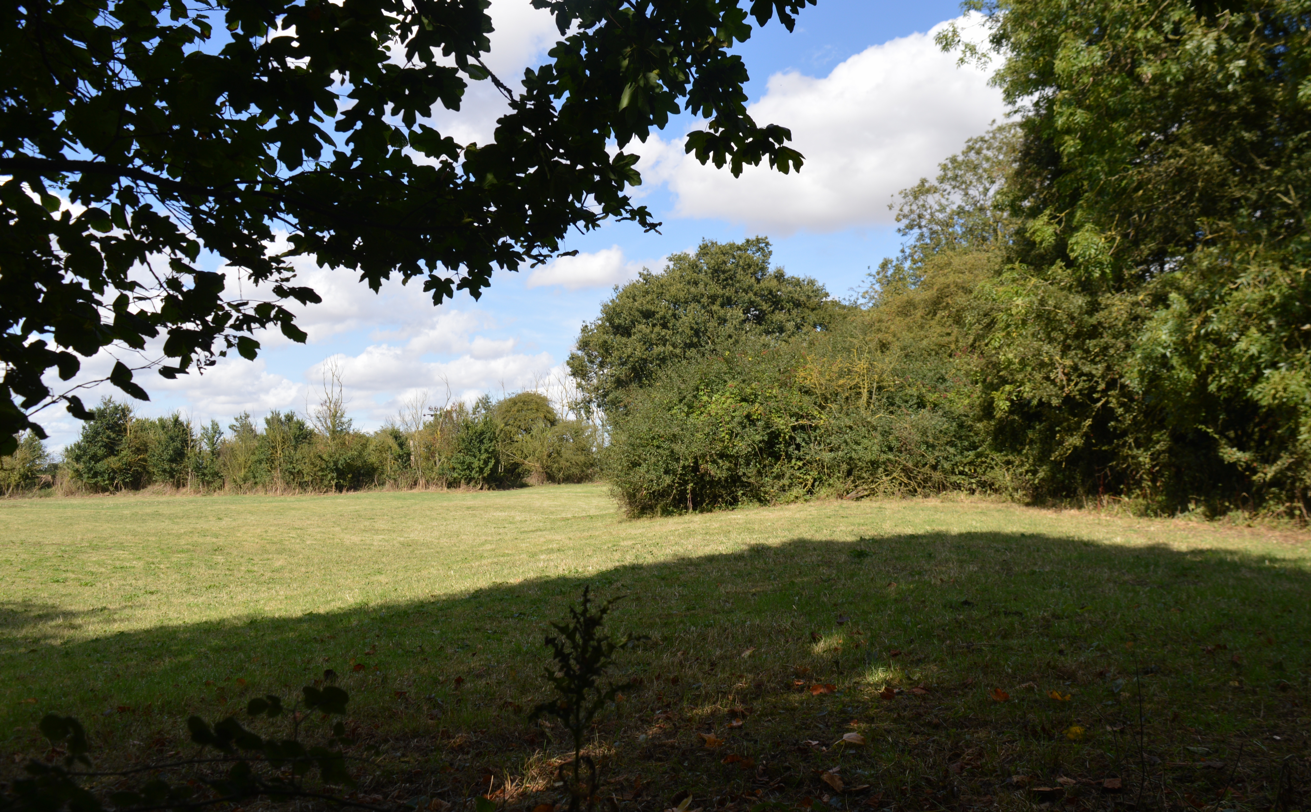
Ellington Hill is a prominent geographical feature located in the district of Huntingdonshire, Cambridgeshire, England. Despite its name, it is not a hill in the traditional sense, but rather a relatively low-rise mound that offers a scenic viewpoint of the surrounding area. Situated in the village of Ellington, the hill is part of the gently undulating landscape that characterizes this region.
At an elevation of around 50 meters (164 feet), Ellington Hill provides a panoramic view of the Cambridgeshire countryside. Its peak is adorned with a small clump of trees, adding to its visual appeal. The hill is accessible via public footpaths, making it a popular destination for hikers, walkers, and nature enthusiasts.
From the top of Ellington Hill, visitors can enjoy sweeping vistas of the surrounding farmland, scattered villages, and meandering waterways. On clear days, one can even catch a glimpse of the distant city of Peterborough. The hill's elevated position also offers an opportunity to observe local wildlife, including various bird species and small mammals that inhabit the nearby fields and hedgerows.
Ellington Hill holds historical significance as well. It is believed to have been a site of human activity since ancient times, with evidence of Iron Age and Roman settlements in the vicinity. The hill's strategic location near the Great Ouse River would have made it an ideal vantage point for early settlers.
In conclusion, Ellington Hill is a picturesque mound located in the village of Ellington, Huntingdonshire. It provides a beautiful viewpoint of the Cambridgeshire countryside, attracting nature enthusiasts and history buffs alike.
If you have any feedback on the listing, please let us know in the comments section below.
Ellington Hill Images
Images are sourced within 2km of 52.317127/-0.29654545 or Grid Reference TL1670. Thanks to Geograph Open Source API. All images are credited.


Ellington Hill is located at Grid Ref: TL1670 (Lat: 52.317127, Lng: -0.29654545)
Administrative County: Cambridgeshire
District: Huntingdonshire
Police Authority: Cambridgeshire
What 3 Words
///recital.fussy.hopping. Near Buckden, Cambridgeshire
Nearby Locations
Related Wikis
Grafham railway station
Grafham railway station was a railway station in Grafham, Cambridgeshire. The station and its line closed in 1959.In the 1990s the railway station buildings...
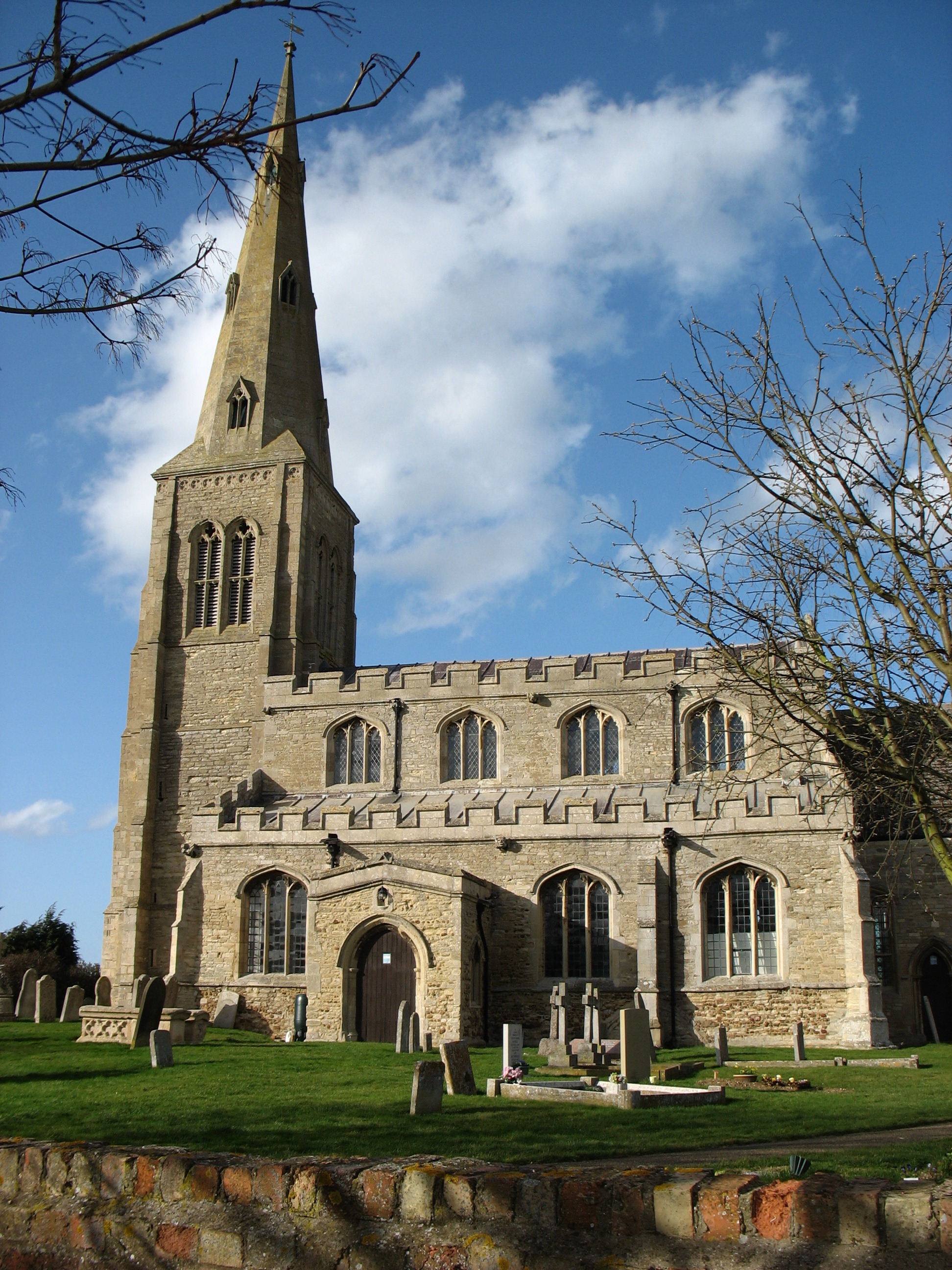
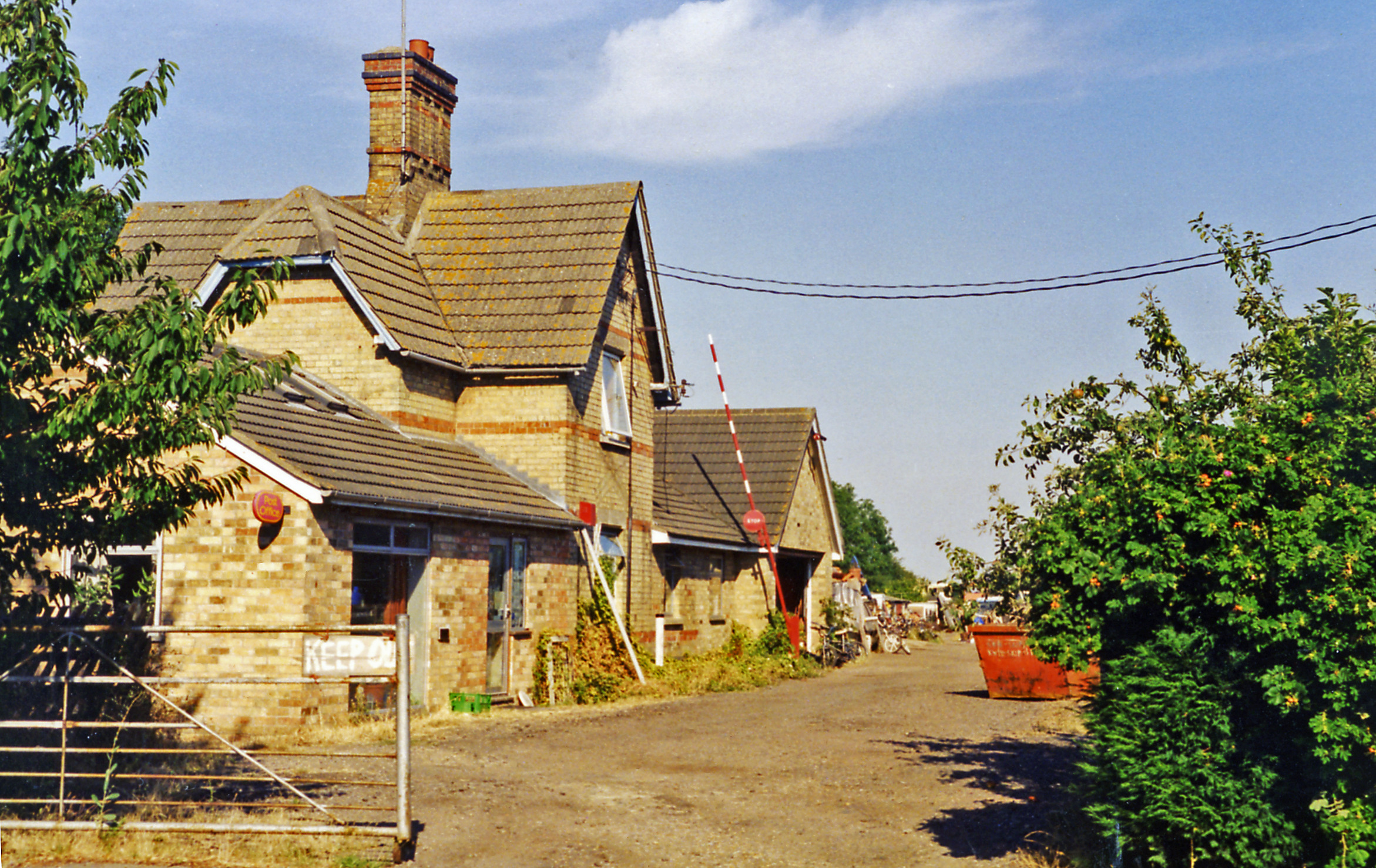
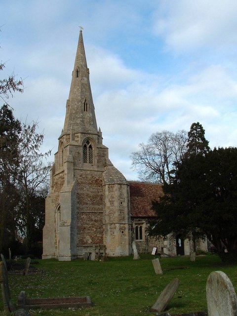
Ellington, Cambridgeshire
Ellington is a village and civil parish in Cambridgeshire, England, 4 miles (6 km) west of Huntingdon in Huntingdonshire, a non-metropolitan district...
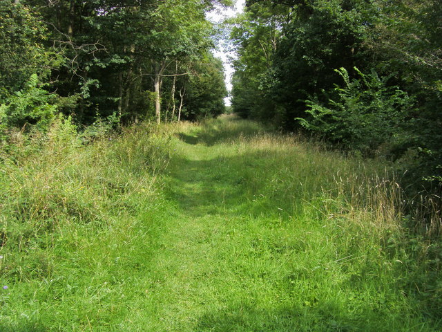
Brampton Wood
Brampton Wood is a 132.1-hectare (326-acre) biological Site of Special Scientific Interest in Cambridgeshire. The site is west of Brampton in Cambridgeshire...
Grafham, Cambridgeshire
Grafham is a village and civil parish in Cambridgeshire, England. Grafham lies approximately 5 miles (8 km) south-west of Huntingdon. Grafham is situated...

Grafham Water
Grafham Water is an 806.3-hectare (1,992-acre) biological Site of Special Scientific Interest (SSSI) north of Perry, Huntingdonshire. It was designated...

Shepherd's Close
Shepherd's Close is a 1.2-hectare (3.0-acre) nature reserve south of Spaldwick in Cambridgeshire. It is managed by the Wildlife Trust for Bedfordshire...

Easton, Cambridgeshire
Easton is a village and civil parish in Cambridgeshire, England. Easton lies approximately 6 miles (10 km) west of Huntingdon, between the villages of...
Brampton Meadow
Brampton Meadow is a one hectare biological Site of Special Scientific Interest north-west of Brampton in Cambridgeshire, England.The site has a rich variety...
Nearby Amenities
Located within 500m of 52.317127,-0.29654545Have you been to Ellington Hill?
Leave your review of Ellington Hill below (or comments, questions and feedback).