Hamilton Hill

Hill, Mountain in Yorkshire

England

Hamilton Hill

All Saints' church 12th and 15th century church on an even more ancient site at Barmston
All Saints' church Credit: Richard Croft

Hamilton Hill is a prominent geographical feature located in the picturesque countryside of Yorkshire, England. Sitting at an elevation of approximately 500 meters above sea level, this hill commands stunning views of the surrounding landscape and is a popular destination for nature enthusiasts and hikers.

The hill is named after the Hamilton family, who were once the owners of the land. It is characterized by its rugged terrain, with steep slopes and rocky outcrops adding to its allure. The hill is covered in a patchwork of vibrant green fields, interspersed with small clusters of trees, providing a haven for various species of flora and fauna.

The summit of Hamilton Hill offers breathtaking panoramic views of the rolling Yorkshire Dales and the distant Pennine Mountains. On clear days, visitors can even catch a glimpse of the historic city of York in the distance. The hill's proximity to nearby villages and towns makes it easily accessible for day trips or longer hikes, attracting both locals and tourists alike.

Aside from its natural beauty, Hamilton Hill has historical significance as well. Ruins of ancient settlements and burial sites can be found scattered across its slopes, offering a glimpse into the area's rich past. The hill is also home to several walking trails and footpaths, allowing visitors to explore its enchanting landscapes at their own pace.

Overall, Hamilton Hill is a captivating destination that showcases the best of Yorkshire's natural beauty. With its stunning vistas, diverse wildlife, and historical remnants, it continues to charm and captivate all who visit.

If you have any feedback on the listing, please let us know in the comments section below.

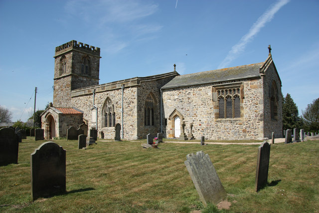
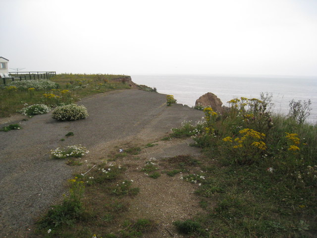
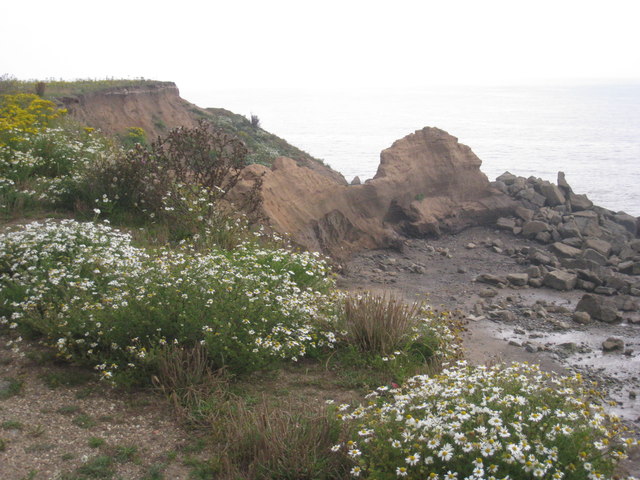
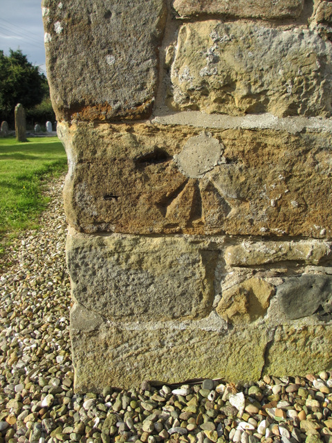
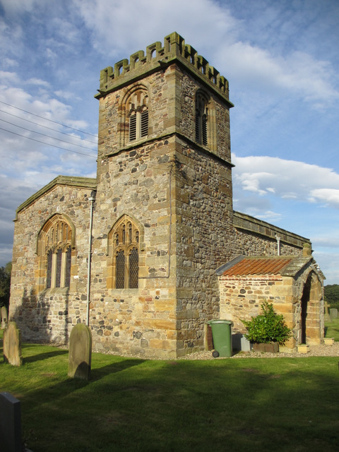
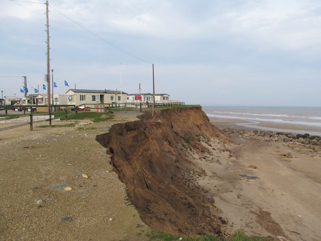
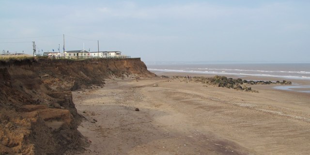
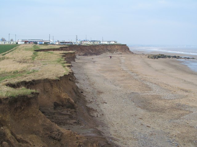
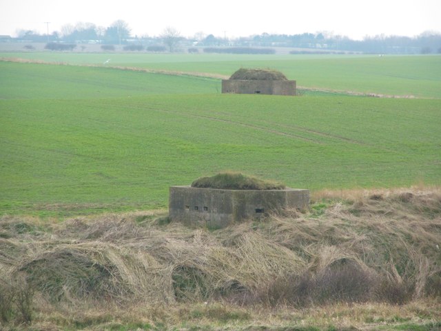
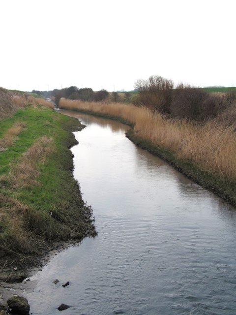
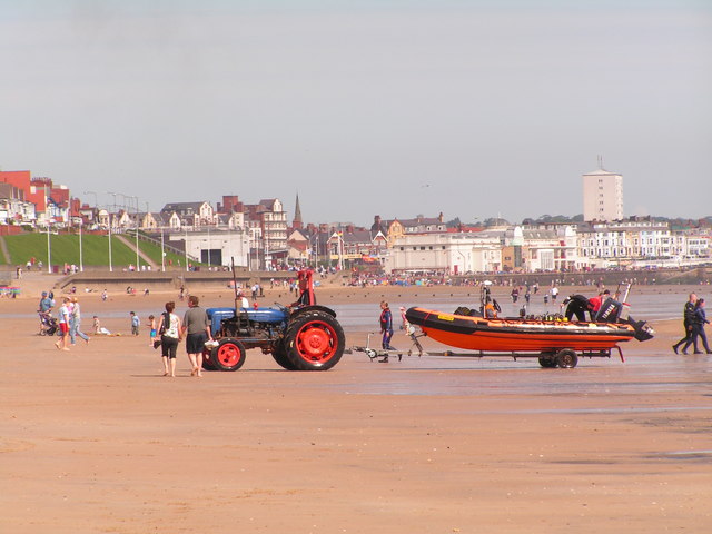
Hamilton Hill Images

Images are sourced within 2km of 54.02556/-0.22604601 or Grid Reference TA1660. Thanks to Geograph Open Source API. All images are credited.

All Saints' church 12th and 15th century church on an even more ancient site at Barmston
All Saints' church
12th and 15th century church on an even more ancient site at Barmston
Going, going, soon to be gone Coastal erosion on this coast is relentless as comparison with other pictures for this square shows.
Going, going, soon to be gone
Coastal erosion on this coast is relentless as comparison with other pictures for this square shows.
Shattered coast Erosion of this coastline is relentless as comparison with earlier pictures of this square shows.
Shattered coast
Erosion of this coastline is relentless as comparison with earlier pictures of this square shows.
1GL bench mark on All Saints', Barmston This cut mark is on the south west corner of the church, but the centre, where the bolt should be, has been mortared over. See also <a href="https://www.geograph.org.uk/photo/3346787">TA1558 : All Saints' church, Barmston</a> For details of the mark see the Bench Mark Database <span class="nowrap"><a title="http://www.bench-marks.org.uk/bm24579" rel="nofollow ugc noopener" href="http://www.bench-marks.org.uk/bm24579">Link</a><img style="margin-left:2px;" alt="External link" title="External link - shift click to open in new window" src="https://s1.geograph.org.uk/img/external.png" width="10" height="10"/></span>
1GL bench mark on All Saints', Barmston
This cut mark is on the south west corner of the church, but the centre, where the bolt should be, has been mortared over. See also TA1558 : All Saints' church, Barmston For details of the mark see the Bench Mark Database LinkExternal link
All Saints' church, Barmston A view of All Saints' church and tower from the south west. There is a 1GL bench mark on the south west corner of the church, but the accompanying bolt is probably missing as the centre of the mark has been mortared over <a href="https://www.geograph.org.uk/photo/3346784">TA1558 : 1GL bench mark on All Saints', Barmston</a>
All Saints' church, Barmston
A view of All Saints' church and tower from the south west. There is a 1GL bench mark on the south west corner of the church, but the accompanying bolt is probably missing as the centre of the mark has been mortared over TA1558 : 1GL bench mark on All Saints', Barmston
Road end at Barmston The only point of reference here is the line of boulders seen on the beach. In my photograph of October 2008 these are at the base of the cliff which has since eroded back some 10-15 metres.
Road end at Barmston
The only point of reference here is the line of boulders seen on the beach. In my photograph of October 2008 these are at the base of the cliff which has since eroded back some 10-15 metres.
Barmston sands At the time of my last visit in October 2008 the rocks to the right were at the base of the cliff, which must now be at least 10-15 metres further back.
Barmston sands
At the time of my last visit in October 2008 the rocks to the right were at the base of the cliff, which must now be at least 10-15 metres further back.
A receding coast In this view the green lines of the walked paths in the grass give some indication of recent erosion. Each year the path must be a little further west. The dotted line shown on the OS map is almost certainly out of date already.
A receding coast
In this view the green lines of the walked paths in the grass give some indication of recent erosion. Each year the path must be a little further west. The dotted line shown on the OS map is almost certainly out of date already.
WW2 pillboxes Two pillboxes close to the cliffline near Barmston. many of those along this coast built closer to the cliffs have already toppled into the sea, but these look safe for a few years yet.
WW2 pillboxes
Two pillboxes close to the cliffline near Barmston. many of those along this coast built closer to the cliffs have already toppled into the sea, but these look safe for a few years yet.
Barmston Main Drain This would appear to be an artificial channel cut to capture waters flowing down from the Wolds into Holderness. A glance at the OS map reveals a whole network of drainage channels inland from here, some of which carry water into this drain, whilst others head towards the River Hull.
Barmston Main Drain
This would appear to be an artificial channel cut to capture waters flowing down from the Wolds into Holderness. A glance at the OS map reveals a whole network of drainage channels inland from here, some of which carry water into this drain, whilst others head towards the River Hull.
Seaward end of the drain The concrete structure looking rather like a breakwater that just out into the sea south of Barmston is actually the end of the Barmston Main Drain with a considerable flow of water emerging from the end of the concrete channel.
Seaward end of the drain
The concrete structure looking rather like a breakwater that just out into the sea south of Barmston is actually the end of the Barmston Main Drain with a considerable flow of water emerging from the end of the concrete channel.
Pillbox in a field of barley Above Barmston Sands. A remnant of WWII coastal defences.
Pillbox in a field of barley
Above Barmston Sands. A remnant of WWII coastal defences.
End of the road, Barmston This is the end of Sands Lane near the caravan holiday park. The sign is perfectly correct because at this point the boulder clay cliffs are especially susceptible to erosion.
End of the road, Barmston
This is the end of Sands Lane near the caravan holiday park. The sign is perfectly correct because at this point the boulder clay cliffs are especially susceptible to erosion.
Clifftop vegetation above Barmston Sands With the coastal outflow of Barmston Main Drain below.
Clifftop vegetation above Barmston Sands
With the coastal outflow of Barmston Main Drain below.
Umbelliferous plant on the cliff edge at Barmston At first I thought it might be cow parsley - and perhaps it is - but another Geograph contributor has suggested hogweed.
Umbelliferous plant on the cliff edge at Barmston
At first I thought it might be cow parsley - and perhaps it is - but another Geograph contributor has suggested hogweed.
Above Barmston Sands Heading to Barmston Beach Caravan Park
Above Barmston Sands
Heading to Barmston Beach Caravan Park
Manor Farm, Barmston The date stone reads 1768.
Manor Farm, Barmston
The date stone reads 1768.
Agricultural landscape north of Barmston
Show me another place!

Hamilton Hill is located at Grid Ref: TA1660 (Lat: 54.02556, Lng: -0.22604601)

Division: East Riding

Unitary Authority: East Riding of Yorkshire

Police Authority: Humberside

What 3 Words

///obstinate.precautions.packing. Near Barmston, East Yorkshire

Nearby Locations

Hamilton Hill Low Grounds

Related Wikis

Barmston, East Riding of Yorkshire

Barmston is a village and civil parish in the East Riding of Yorkshire, England. It is situated on the Holderness coast, overlooking the North Sea and...

A165 road

The A165 is a road that links Scarborough and Kingston upon Hull, both in Yorkshire, England. The road is designated as a Primary Route from its junction...

Fraisthorpe

Fraisthorpe is a village and former civil parish, now in the parish of Barmston, in the East Riding of Yorkshire, England. It is situated approximately...

Fraisthorpe Wind Farm

Fraisthorpe Wind Farm is a wind power generating site located in the village of Fraisthorpe in the East Riding of Yorkshire, England. The site is just...

Lissett

Lissett is a village and former civil parish, now in the parish of Ulrome, in the Holderness area of the East Riding of Yorkshire, England. It is situated...

Ulrome

Ulrome is a village and civil parish in the East Riding of Yorkshire, England. It is situated approximately 6 miles (9.7 km) north of the town of Hornsea...

RAF Lissett

Royal Air Force Lissett or more simply RAF Lissett is a former Royal Air Force station located 6.1 miles (9.8 km) south west of Bridlington, East Riding...

Wilsthorpe, East Riding of Yorkshire

Wilsthorpe is a hamlet in the East Riding of Yorkshire, England. It is situated on the coast just off the A165 road and approximately 2 miles (3.2 km...

Nearby Amenities

Located within 500m of 54.02556,-0.22604601
Hamilton Hill
Place: locality
Lat/Long: 54.0260153/-0.226596
The data included in this document is from www.openstreetmap.org. The data is made available under ODbL.

Have you been to Hamilton Hill?

Leave your review of Hamilton Hill below (or comments, questions and feedback).