Lychpole Hill

Hill, Mountain in Sussex Adur

England

Lychpole Hill

Cattle in Canada Bottom - view to the NW This is a cross-grid shot. The camera was in the square to the east.
Cattle in Canada Bottom - view to the NW Credit: Ian Cunliffe

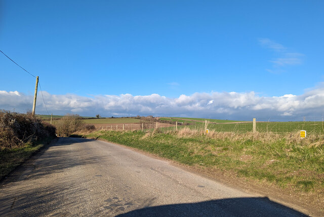
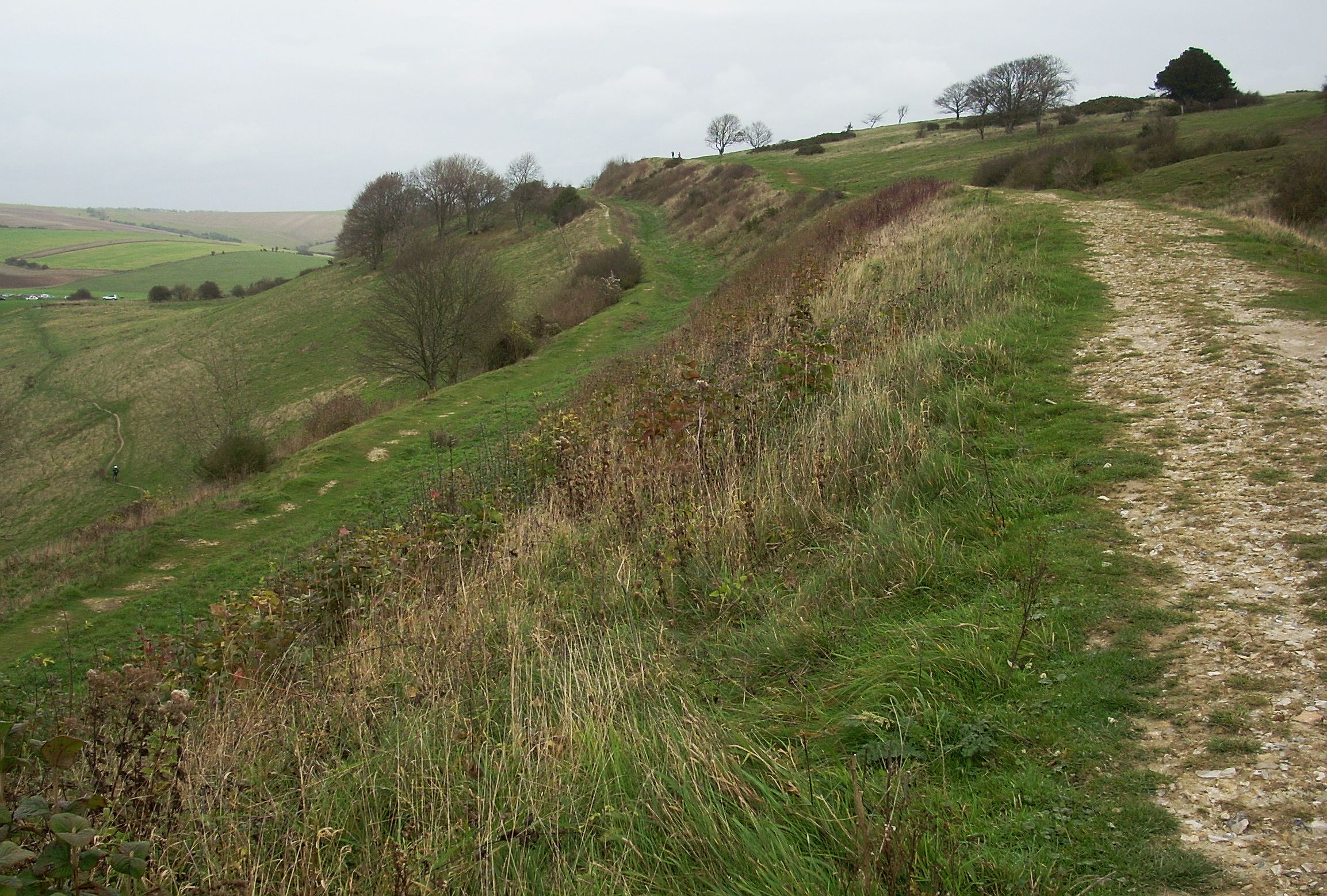
Lychpole Hill, located in Sussex, England, is a prominent hill that stands at an elevation of approximately 200 meters (656 feet) above sea level. Part of the South Downs, it is situated near the village of Alfriston, offering breathtaking panoramic views of the surrounding landscape.

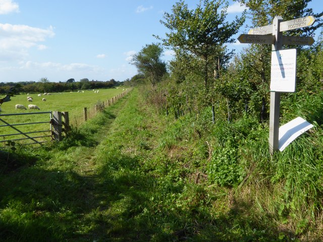
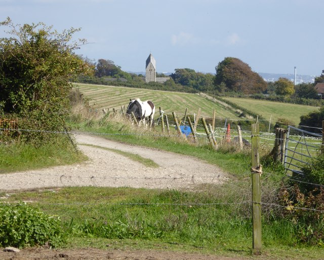
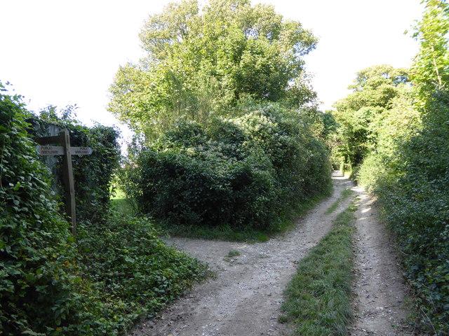
The hill is characterized by its gentle slopes covered in lush green grass, which make it an ideal spot for leisurely walks and picnics. Walking trails crisscross the area, allowing visitors to explore its natural beauty at their own pace. The hill is particularly popular among hikers and nature enthusiasts due to its diverse flora and fauna, including wildflowers, butterflies, and various bird species.

At the top of Lychpole Hill, there is a wooden bench where visitors can rest and soak in the stunning vistas. On a clear day, one can see the rolling hills and meadows stretching out for miles, giving an unparalleled sense of tranquility and serenity.

The hill also holds historical significance as it is believed to have been an Iron Age hillfort. Archaeologists have discovered remnants of ancient settlements, including pottery and tools, adding to its cultural and archaeological value.

Lychpole Hill is easily accessible by foot or car, with parking facilities available nearby. Its picturesque scenery, combined with its peaceful ambiance, makes it a favored destination for both locals and tourists seeking a refreshing escape from the bustle of everyday life.

If you have any feedback on the listing, please let us know in the comments section below.

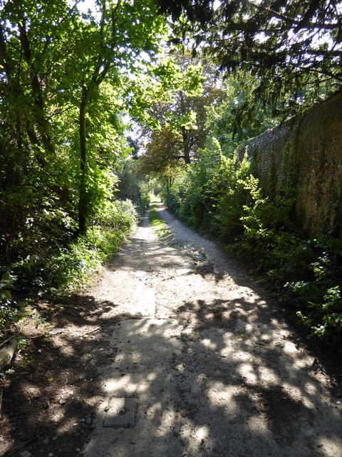
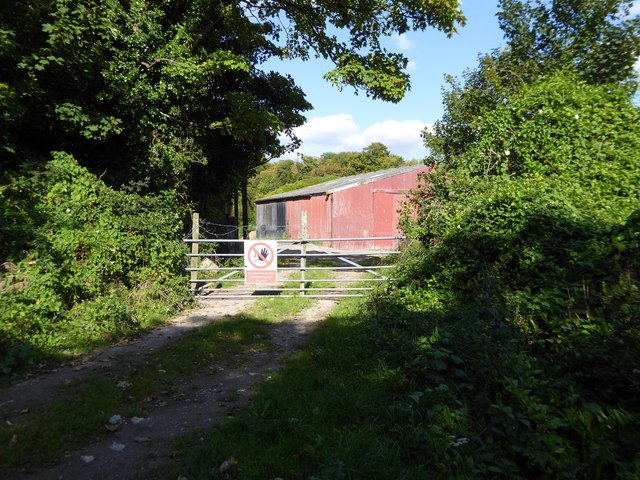
Lychpole Hill Images

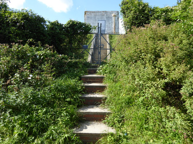
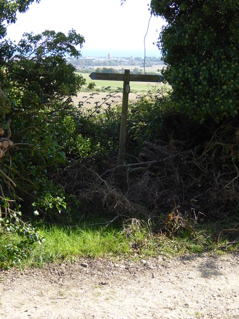
Images are sourced within 2km of 50.852784/-0.36364392 or Grid Reference TQ1507. Thanks to Geograph Open Source API. All images are credited.

Cattle in Canada Bottom - view to the NW This is a cross-grid shot. The camera was in the square to the east.
Cattle in Canada Bottom - view to the NW
This is a cross-grid shot. The camera was in the square to the east.
Mechanical digger - north of Lychpole Farm
Titch Hill (road) A route over the downs from Sompting to Steyning.
Titch Hill (road)
A route over the downs from Sompting to Steyning.
Sompting church St. Mary's is a grade I listed building, 11th and 12th centuries. The 'Rhenish helm' style of the 11th century tower is unique in England.
Sompting church
St. Mary's is a grade I listed building, 11th and 12th centuries. The 'Rhenish helm' style of the 11th century tower is unique in England.
Graveyard, Sompting One of several extensions to the original churchyard.
Graveyard, Sompting
One of several extensions to the original churchyard.
Sompting - Church of St Mary It is quite difficult to find a spot to take a photograph of the whole church without it being blocked by trees or gravestones. This photo from a corner of the churchyard afforded about the best overall view I could manage.
The highly unusual Saxon tower which features a Rhenish helm is apparently unique in Britain - see <a href="https://www.geograph.org.uk/photo/4674458">TQ1605 : Sompting - St Mary's - Rhenish Helm</a> for a closer view of this.
See also the shared description below:
Sompting - Church of St Mary
It is quite difficult to find a spot to take a photograph of the whole church without it being blocked by trees or gravestones. This photo from a corner of the churchyard afforded about the best overall view I could manage. The highly unusual Saxon tower which features a Rhenish helm is apparently unique in Britain - see TQ1605 : Sompting - St Mary's - Rhenish Helm for a closer view of this. See also the shared description below:
Sompting - St Mary's - Rhenish Helm A close view of the Rhenish Helm atop the C11th Saxon tower of St Mary's in Sompting. This unusual shingled cap is a unique feature for an English church.
See shared description below.
Sompting - St Mary's - Rhenish Helm
A close view of the Rhenish Helm atop the C11th Saxon tower of St Mary's in Sompting. This unusual shingled cap is a unique feature for an English church. See shared description below.
Exit through lychgate at Sompting church
Below the tower at Sompting church
Southern elevation of Sompting church This is a Grade 1 listed building.
Southern elevation of Sompting church
This is a Grade 1 listed building.
Footpath goes west from Sompting
Looking north beside the wall on Charmandean Lane There are houses behind the wall but a little farther north the lane, which is a bridleway, leaves them behind.
Looking north beside the wall on Charmandean Lane
There are houses behind the wall but a little farther north the lane, which is a bridleway, leaves them behind.
Looking south on Charmandean Lane The houses on Longlands are behind the wall.
Looking south on Charmandean Lane
The houses on Longlands are behind the wall.
View east from Charmandean Lane to Sompting church The other landmark, which is on the right of the picture, is the chimney at disused Shoreham cement works.
View east from Charmandean Lane to Sompting church
The other landmark, which is on the right of the picture, is the chimney at disused Shoreham cement works.
Red barn by Charmandean Lane
Looking north on Charmandean Lane The footpath signed on the left is on the edge of Hill Barn Golf Club.  It has not yet made its way onto OS mapping.
Looking north on Charmandean Lane
The footpath signed on the left is on the edge of Hill Barn Golf Club. It has not yet made its way onto OS mapping.
Steps to building on reservoir
Sign at footpath junction on Charmandean Lane This footpath has not yet made it onto OS mapping - see also <a href="https://www.geograph.org.uk/photo/4675953">TQ1405 : Looking north on Charmandean Lane</a>.
Sign at footpath junction on Charmandean Lane
This footpath has not yet made it onto OS mapping - see also TQ1405 : Looking north on Charmandean Lane.
Show me another place!

Lychpole Hill is located at Grid Ref: TQ1507 (Lat: 50.852784, Lng: -0.36364392)

Administrative County: West Sussex

District: Adur

Police Authority: Sussex

What 3 Words

///both.manual.slime. Near Broadwater, West Sussex

Nearby Locations

Lychpole Hill

Related Wikis

Cissbury Ring

Cissbury Ring is an 84.2-hectare (208-acre) biological Site of Special Scientific Interest north of Worthing in West Sussex. It is owned by the National...

Worthing Downland Estate

The Worthing Downland Estate, Worthing Downs or Worthing Downland, is an area of land in the South Downs National Park in West Sussex, England, close to...

Bohunt School Worthing

Bohunt School Worthing (BSW) is an 11–16 mixed secondary school with academy status in Worthing, West Sussex, England. It was established in September...

Worthing United F.C.

Worthing United Football Club is a football club based in Worthing, England. Established in 1988 by a merger of Wigmore Athletic and Southdown, they are...

Nearby Amenities

Located within 500m of 50.852784,-0.36364392
Tenants Hill
Place: locality
Source: OS_OpenData_StreetView
Lat/Long: 50.8518269/-0.370102
Lychpole Hill
Place: locality
Source: OS_OpenData_StreetView
Lat/Long: 50.8527751/-0.3635359
The data included in this document is from www.openstreetmap.org. The data is made available under ODbL.

Have you been to Lychpole Hill?

Leave your review of Lychpole Hill below (or comments, questions and feedback).