Cow Pasture Hill

Hill, Mountain in Yorkshire Scarborough

England

Cow Pasture Hill

Path to Speeton Sands The path heads down over Speeton Hills to the cliffs and Speeton Sands
Path to Speeton Sands Credit: Stephen Horncastle

Cow Pasture Hill is a prominent hill located in Yorkshire, England. Situated within the North York Moors National Park, it is a notable landmark that offers breathtaking panoramic views of the surrounding countryside. Despite its name, Cow Pasture Hill is not merely a pasture for cows but a prominent geographical feature in the area.

Standing at an elevation of approximately 402 meters (1,319 feet) above sea level, Cow Pasture Hill is not considered a mountain but rather a hill. It is known for its distinctive conical shape and its lush green slopes, which are often dotted with grazing sheep. The hill is composed of sedimentary rocks, primarily sandstone and limestone, which add to its scenic appeal.

Access to Cow Pasture Hill is relatively easy, with several footpaths and bridleways leading to its summit. Hikers and nature enthusiasts can enjoy a variety of walking routes that provide stunning views of the surrounding moorland and valleys. On a clear day, it is possible to see as far as the North Sea and the distant Yorkshire Dales.

The hill is also home to a diverse range of flora and fauna, including heather, bilberry, and various bird species. It serves as an important habitat for wildlife, contributing to the biodiversity of the region.

Cow Pasture Hill is not only a natural attraction but also a site of historical significance. It has been used as a vantage point for centuries, allowing people to survey the landscape and potentially spot any approaching dangers. Today, it remains a popular destination for those seeking tranquility, natural beauty, and a glimpse into Yorkshire's rich history.

If you have any feedback on the listing, please let us know in the comments section below.

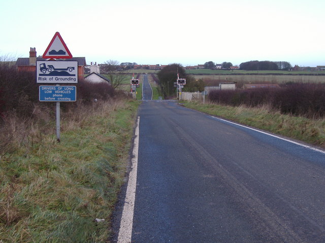
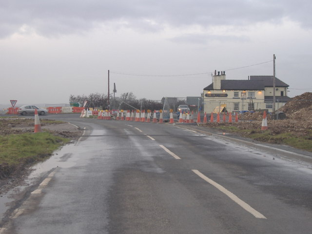
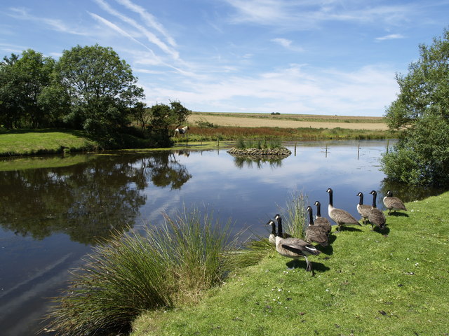
Cow Pasture Hill Images

Images are sourced within 2km of 54.157523/-0.23694721 or Grid Reference TA1574. Thanks to Geograph Open Source API. All images are credited.

Path to Speeton Sands The path heads down over Speeton Hills to the cliffs and Speeton Sands
Path to Speeton Sands
The path heads down over Speeton Hills to the cliffs and Speeton Sands
St. Leonard's Church, Speeton Speeton sits high above the cliffs on Speeton Hills with the church on the west edge of the grid square. The church only has windows on the south facing side, this view looking NW.
St. Leonard's Church, Speeton
Speeton sits high above the cliffs on Speeton Hills with the church on the west edge of the grid square. The church only has windows on the south facing side, this view looking NW.
Track West of Speeton The track heads north on Speeton Hills. This view looking north to the sea.
Track West of Speeton
The track heads north on Speeton Hills. This view looking north to the sea.
Reighton Sands Looking SE along the beach from the west edge of the grid square.
Reighton Sands
Looking SE along the beach from the west edge of the grid square.
Buckton Cliff Triangulation Pillar OS Pillar S6326 used as part of OS GPS measuring system. RSPB bird sanctuary to the east of the pillar with several hundred guillemots and puffins.
Buckton Cliff Triangulation Pillar
OS Pillar S6326 used as part of OS GPS measuring system. RSPB bird sanctuary to the east of the pillar with several hundred guillemots and puffins.
Speeton Moor This lonely concrete fence post stands at the side of the B1229.  The view is north east towards Buckton Cliffs and the North Sea approximately 1km away.
Speeton Moor
This lonely concrete fence post stands at the side of the B1229. The view is north east towards Buckton Cliffs and the North Sea approximately 1km away.
Speeton Field A very muddy, freshly ploughed field.  I'm glad I took my wellies!
Speeton Field
A very muddy, freshly ploughed field. I'm glad I took my wellies!
Risk of Grounding The level crossing on New Road near Speeton.
Risk of Grounding
The level crossing on New Road near Speeton.
Roadworks at Reighton This photo is taken on the B1229 towards the A165 and The Dotterel Pub.  The roadworks are due to the construction of the Reighton Bypass.
Roadworks at Reighton
This photo is taken on the B1229 towards the A165 and The Dotterel Pub. The roadworks are due to the construction of the Reighton Bypass.
Caravan Site - Reighton Sands
Low Fields and Speeton Hills from the back of Reighton Sands Caravan site
Foreshore at Speeton looking Southwards along the foreshore at Speeton
Foreshore at Speeton
looking Southwards along the foreshore at Speeton
Carpark at St Leonards Church St Leonards church from the carpark at Speeton.
Carpark at St Leonards Church
St Leonards church from the carpark at Speeton.
Cretaceous clay at Speeton Eroding 'Oxford Clay' beds on the foreshore at Speeton, fossiliferous mud of Cretaceous age.
Cretaceous clay at Speeton
Eroding 'Oxford Clay' beds on the foreshore at Speeton, fossiliferous mud of Cretaceous age.
Speeton Sands towards Buckton Cliffs
Speeton Sands and Buckton Cliffs Photo taken half way down the Speeton cliff narrow and hazardous path!
Speeton Sands and Buckton Cliffs
Photo taken half way down the Speeton cliff narrow and hazardous path!
Reighton Sands Looking across Reighton Sands with the remains of old world war 2 beach defences, towards Speeton.
Reighton Sands
Looking across Reighton Sands with the remains of old world war 2 beach defences, towards Speeton.
Erosion at Reighton Erosion of world war two coastal defences at Reighton Sands
Erosion at Reighton
Erosion of world war two coastal defences at Reighton Sands
Show me another place!

Cow Pasture Hill is located at Grid Ref: TA1574 (Lat: 54.157523, Lng: -0.23694721)

Division: East Riding

Administrative County: North Yorkshire

District: Scarborough

Police Authority: North Yorkshire

What 3 Words

///scarred.titles.active. Near Grindale, East Yorkshire

Nearby Locations

Cow Pasture Hill

Related Wikis

Speeton

Speeton is a village in the civil parish of Reighton, in North Yorkshire, England. It lies near the edge of the coastal cliffs midway between Filey and...

Speeton railway station

Speeton railway station served the villages of Speeton and Reighton in North Yorkshire, England. It was situated on the Yorkshire Coast Line from Scarborough...

Reighton

Reighton is a village and civil parish, in North Yorkshire, England. From the mediaeval era until the 19th century Reighton was part of Dickering Wapentake...

Buckton, East Riding of Yorkshire

Buckton is a small village and former civil parish, now in the parish of Bempton, in the East Riding of Yorkshire, England. It is near the North Sea coast...

RAF Hunmanby Moor

RAF Hunmanby Moor, (also known as RAF Filey), was a Royal Air Force training camp during the Second World War in Hunmanby, East Riding of Yorkshire, England...

RAF Bempton

Royal Air Force Bempton or more simply RAF Bempton is a former Royal Air Force station situated at Bempton in the East Riding of Yorkshire, England, 6...

Yorkshire Coast

The Yorkshire Coast runs from the Tees estuary to the Humber estuary, on the east coast of England. The cliffs at Boulby are the highest on the east coast...

Grindale

Grindale is a village and civil parish in the East Riding of Yorkshire, England. It is situated approximately 4 miles (6 km) north-west of Bridlington...

Nearby Amenities

Located within 500m of 54.157523,-0.23694721
Parking
St Leonards Church
Fee: donation
Parking: surface
Lat/Long: 54.1551894/-0.2386152
Barrier: kissing_gate
Lat/Long: 54.1583069/-0.2360991
Barrier: kissing_gate
Lat/Long: 54.1553224/-0.2389266
Bench
Backrest: yes
Material: stone
Seats: 2
Lat/Long: 54.1582536/-0.2363009
Barrier: kissing_gate
Lat/Long: 54.1587822/-0.2361353
Barrier: kissing_gate
Lat/Long: 54.1556669/-0.238739
Barrier: kissing_gate
Lat/Long: 54.1565661/-0.2372264
Bench
Backrest: yes
Material: stone
Seats: 3
Lat/Long: 54.1610032/-0.2359433
Barrier: kissing_gate
Lat/Long: 54.1589438/-0.2360889
Defibrillator
Access: yes
Defibrillator Location: Chapel Lane, Speeton
Emergency: defibrillator
Indoor: no
Lat/Long: 54.1551614/-0.2420876
Advertising: board
Lat/Long: 54.1550238/-0.2428079
The data included in this document is from www.openstreetmap.org. The data is made available under ODbL.

Have you been to Cow Pasture Hill?

Leave your review of Cow Pasture Hill below (or comments, questions and feedback).