Cockshoot Hill

Hill, Mountain in Bedfordshire

England

Cockshoot Hill

Road heading towards Clifton Looking south-eastward.
Road heading towards Clifton Credit: Peter Wood

Cockshoot Hill is a prominent geological feature located in Bedfordshire, England. It is classified as a hill, rather than a mountain, due to its relatively low elevation. Situated in the southern part of the county, Cockshoot Hill is part of the Chiltern Hills, a range known for its rolling landscape and picturesque vistas.

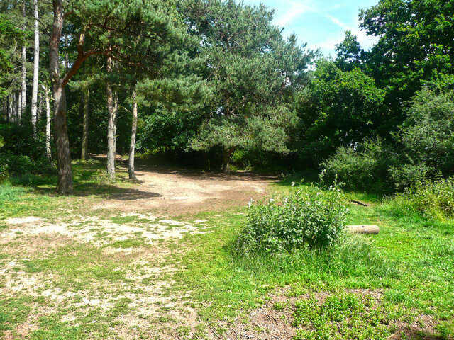
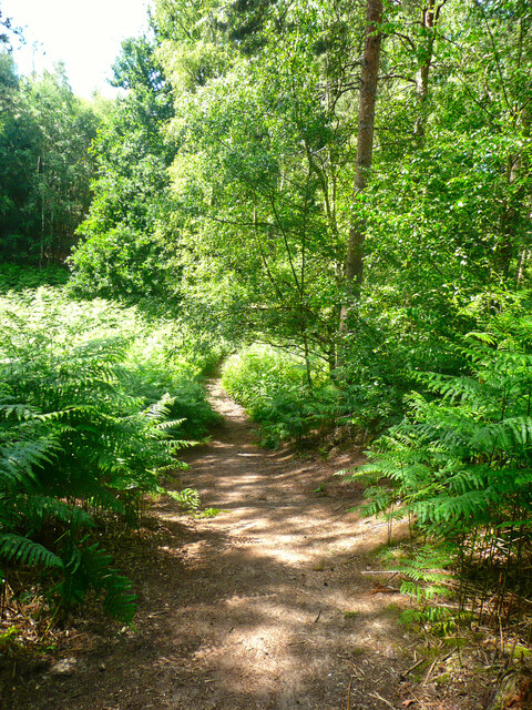
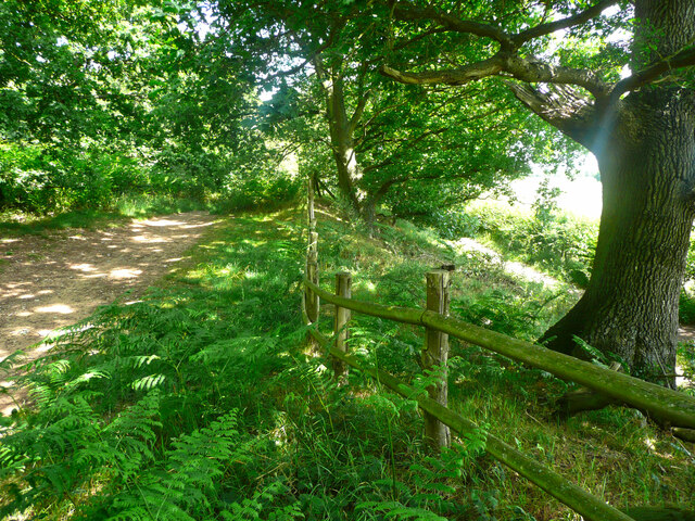
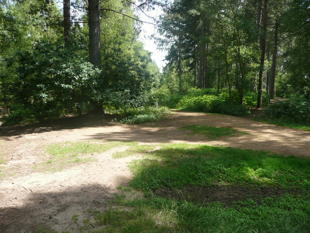
At an elevation of approximately 183 meters (600 feet), Cockshoot Hill offers panoramic views of the surrounding countryside. It is covered with lush vegetation, including grasses, shrubs, and patches of woodland. The hill is composed of chalk, a characteristic feature of the Chiltern Hills, which gives it a distinctive white appearance.

Cockshoot Hill is a popular destination for outdoor enthusiasts, offering opportunities for hiking, walking, and nature observation. The area is home to a variety of flora and fauna, including wildflowers, butterflies, and birds. Visitors can explore the network of footpaths that crisscross the hill, providing access to its scenic beauty.

Historically, Cockshoot Hill has played a role in the local community. It has been used for agricultural purposes, including grazing livestock and farming. The hill also features several archaeological sites, such as ancient burial mounds and earthworks, which provide insights into the area's past.

Overall, Cockshoot Hill is a notable landmark in Bedfordshire, offering both natural beauty and historical significance. Its accessible location and diverse ecosystem make it a popular destination for locals and tourists alike, seeking to immerse themselves in the tranquil charm of the English countryside.

If you have any feedback on the listing, please let us know in the comments section below.

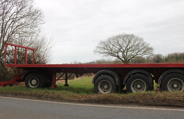
Cockshoot Hill Images

Images are sourced within 2km of 52.046538/-0.33413824 or Grid Reference TL1439. Thanks to Geograph Open Source API. All images are credited.

Road heading towards Clifton Looking south-eastward.
Road heading towards Clifton
Looking south-eastward.
Road (B658) near to Stanford Farm Looking south-westward.
Road (B658) near to Stanford Farm
Looking south-westward.
Stanford Road at The Green Man Looking northward.
Stanford Road at The Green Man
Looking northward.
Pedley Lane, Clifton Looking south-westward.
Pedley Lane, Clifton
Looking south-westward.
Dalchini Spice, Shefford An award winning Indian restaurant
Dalchini Spice, Shefford
An award winning Indian restaurant
Roundabout on  Ivel Road, Shefford Oak Manor care home is on the right
Roundabout on Ivel Road, Shefford
Oak Manor care home is on the right
Hitchin Road at the corner of Ivel Road
Stanford Road, Shefford
The entrance to Stanford Bury
Trailer by Stanford Road, Shefford
Track to Stanford Bury Farm
The Green Man, Stanford
Part of the car park for Rowney Warren Wood, Southill The car park is also a picnic area.
Part of the car park for Rowney Warren Wood, Southill
The car park is also a picnic area.
Track in Rowney Warren Wood, Southill This track is along the southern edge of the wood.
Track in Rowney Warren Wood, Southill
This track is along the southern edge of the wood.
Path in Rowney Warren Wood, Southill It is all too easy to lose one's sense of direction in this wood, and also my GPS readings did not always indicate a position on one of the paths shown on the 1:25000 map.
Path in Rowney Warren Wood, Southill
It is all too easy to lose one's sense of direction in this wood, and also my GPS readings did not always indicate a position on one of the paths shown on the 1:25000 map.
Track in Rowney Warren Wood, Southill This track goes along the southern edge of the wood, and over the boundary fence at a lower level there is a bridleway, which is part of the John Bunyan Trail. Along the length of the track that I walked there was no connection between the two paths.
Track in Rowney Warren Wood, Southill
This track goes along the southern edge of the wood, and over the boundary fence at a lower level there is a bridleway, which is part of the John Bunyan Trail. Along the length of the track that I walked there was no connection between the two paths.
The John Bunyan Trail at the A600, Shefford The roundabout is at the junction with the B658 Sandy road.
The John Bunyan Trail at the A600, Shefford
The roundabout is at the junction with the B658 Sandy road.
Track junction in Rowney Warren Wood, Southill I am not certain about the grid reference.
Track junction in Rowney Warren Wood, Southill
I am not certain about the grid reference.
Show me another place!

Cockshoot Hill is located at Grid Ref: TL1439 (Lat: 52.046538, Lng: -0.33413824)

Unitary Authority: Central Bedfordshire

Police Authority: Bedfordshire

What 3 Words

///connector.cinemas.lined. Near Shefford, Bedfordshire

Related Wikis

Shefford railway station

Shefford was a railway station on the Bedford to Hitchin Line which served the town of Shefford in Bedfordshire, England. Opened in 1857, it gave more...

St Francis' Boy's Home

St Francis' Boy's Home in Shefford, Bedfordshire was the longest serving children's home in England. Founded in 1868, it played a vital role in providing...

Shefford, Bedfordshire

Shefford is a town and civil parish in the Central Bedfordshire district of Bedfordshire, England. At the 2021 census it had a population of 7,311. It...

River Flit

The River Flit is a short river in Bedfordshire, England. Its name is not ancient, but rather a back formation from Flitton which originally meant that...

Camps End

Camps End is a hamlet near Castle Camps in Cambridgeshire, England. == References ==

Samuel Whitbread Academy

Samuel Whitbread Academy is an Upper School and Sixth Form with Academy status serving the rural communities around the small market town of Shefford in...

Campton and Chicksands

Campton and Chicksands is a civil parish in the Central Bedfordshire district, in the ceremonial county of Bedfordshire, England. Its main settlements...

HMS Ferret (1982 shore establishment)

HMS Ferret is a training unit of the Royal Naval Reserve based at MOD Chicksands in Bedfordshire. == History == HMS Ferret was initially established at...

Nearby Amenities

Located within 500m of 52.046538,-0.33413824
Cockshoot Hill
Place: locality
Source: OS 1:25k
Lat/Long: 52.0452166/-0.3319713
Turning Circle
Turning Circle: knuckle
Lat/Long: 52.0426274/-0.3369108
Turning Circle
Turning Circle: knuckle
Lat/Long: 52.0422261/-0.3355891
Direction: 170
Generator Method: photovoltaic
Generator Output Electricity: yes
Generator Solar Modules: 12
Generator Source: solar
Generator Type: solar_photovoltaic_panel
Location: roof
Power: generator
Lat/Long: 52.0425596/-0.3328237
Direction: 170
Generator Method: photovoltaic
Generator Output Electricity: yes
Generator Solar Modules: 13
Generator Source: solar
Generator Type: solar_photovoltaic_panel
Location: roof
Power: generator
Lat/Long: 52.0425683/-0.3327099
Direction: 170
Generator Method: photovoltaic
Generator Output Electricity: yes
Generator Solar Modules: 10
Generator Source: solar
Generator Type: solar_photovoltaic_panel
Location: roof
Power: generator
Lat/Long: 52.042585/-0.3334602
Turning Circle
Turning Circle: circle
Lat/Long: 52.0429147/-0.336529
Direction: 200
Generator Method: photovoltaic
Generator Output Electricity: yes
Generator Solar Modules: 14
Generator Source: solar
Generator Type: solar_photovoltaic_panel
Location: roof
Power: generator
Lat/Long: 52.0427646/-0.3366244
The data included in this document is from www.openstreetmap.org. The data is made available under ODbL.

Have you been to Cockshoot Hill?

Leave your review of Cockshoot Hill below (or comments, questions and feedback).