Bury Spinney
Wood, Forest in Bedfordshire
England
Bury Spinney

Bury Spinney is a picturesque wood located in the county of Bedfordshire, England. Nestled in the heart of the countryside, it is a small but enchanting forest that covers an area of approximately 20 acres.
The Spinney is characterized by its dense canopy of trees, primarily consisting of oak, ash, and beech, which create a tranquil and secluded atmosphere. The woodland floor is adorned with a carpet of bluebells during springtime, adding a vibrant burst of color to the surroundings. A network of well-maintained footpaths winds through the Spinney, providing visitors with the opportunity to explore its natural beauty at their leisure.
The wood is home to a diverse range of wildlife, making it a haven for nature enthusiasts. Birdwatchers may spot a variety of species, including woodpeckers, owls, and jays, while small mammals like squirrels and hedgehogs can often be glimpsed scurrying among the undergrowth. The Spinney also supports a rich insect population, with butterflies and dragonflies frequently seen fluttering about.
Bury Spinney is a popular destination for locals and visitors alike, offering a peaceful retreat from the hustle and bustle of everyday life. It provides an ideal setting for leisurely walks, picnics, and photography, as well as educational opportunities for schools and community groups interested in learning about the local ecosystem.
Overall, Bury Spinney is a hidden gem in Bedfordshire, offering a serene and captivating woodland experience for anyone seeking solace in nature's embrace.
If you have any feedback on the listing, please let us know in the comments section below.
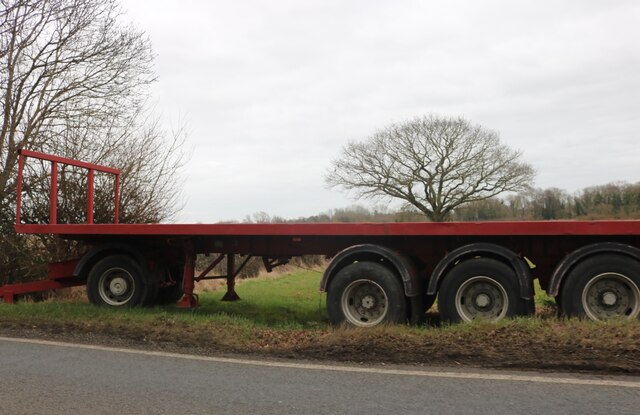
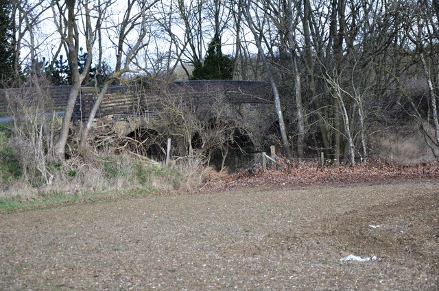
Bury Spinney Images
Images are sourced within 2km of 52.046471/-0.32560985 or Grid Reference TL1439. Thanks to Geograph Open Source API. All images are credited.


Bury Spinney is located at Grid Ref: TL1439 (Lat: 52.046471, Lng: -0.32560985)
Unitary Authority: Central Bedfordshire
Police Authority: Bedfordshire
What 3 Words
///evolves.chucked.highlighted. Near Shefford, Bedfordshire
Nearby Locations
Related Wikis

St Francis' Boy's Home
St Francis' Boy's Home in Shefford, Bedfordshire was the longest serving children's home in England. Founded in 1868, it played a vital role in providing...

Shefford, Bedfordshire
Shefford is a town and civil parish in the Central Bedfordshire district of Bedfordshire, England. At the 2021 census it had a population of 7,311. It...

Samuel Whitbread Academy
Samuel Whitbread Academy is an Upper School and Sixth Form with Academy status serving the rural communities around the small market town of Shefford in...
Shefford railway station
Shefford was a railway station on the Bedford to Hitchin Line which served the town of Shefford in Bedfordshire, England. Opened in 1857, it gave more...
Shefford Town & Campton F.C.
Shefford Town & Campton Football Club (The Bluemen) is an English football club based in the town of Shefford, Bedfordshire. The team plays its home matches...

River Flit
The River Flit is a short river in Bedfordshire, England. Its name is not ancient, but rather a back formation from Flitton which originally meant that...

Stanford, Bedfordshire
Stanford is a hamlet in the civil parish of Southill, in the Central Bedfordshire district of the ceremonial county of Bedfordshire, England. It is about...

Clifton, Bedfordshire
Clifton is a village and civil parish in the English county of Bedfordshire. The original hundred of Clifton is named after it. The original "hundred...
Nearby Amenities
Located within 500m of 52.046471,-0.32560985Have you been to Bury Spinney?
Leave your review of Bury Spinney below (or comments, questions and feedback).