Birkitt Hill

Hill, Mountain in Hertfordshire North Hertfordshire

England

Birkitt Hill

The end of the road Little Offley is just one road and it doesn't go anywhere. This track leads off it near the far end.
The end of the road Credit: David Howard

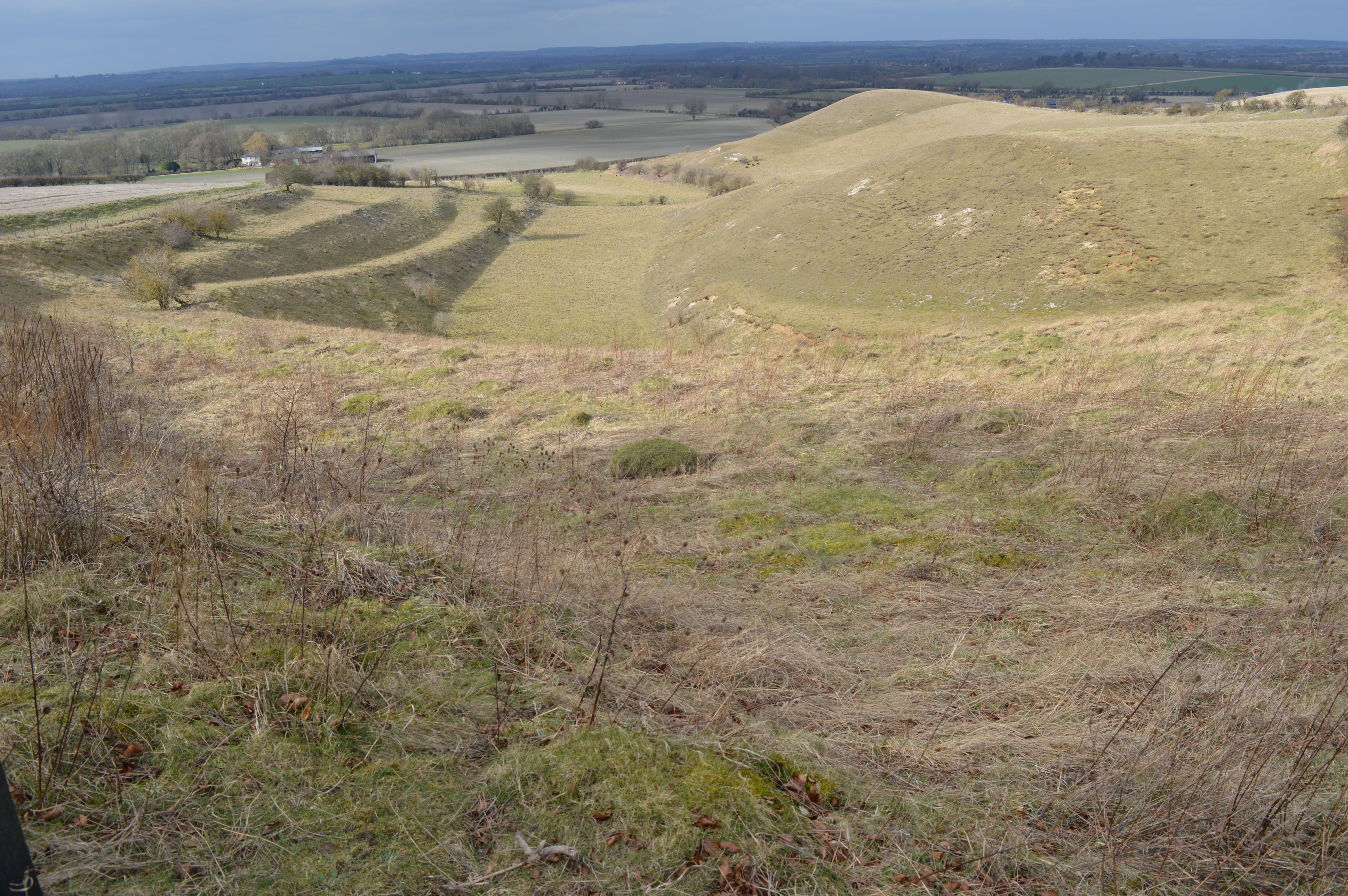
Birkitt Hill is a prominent natural landform located in the county of Hertfordshire, England, known for its picturesque landscape and its significant geological and historical importance. Rising to an elevation of approximately 240 meters (787 feet), it is considered one of the highest points in the region.

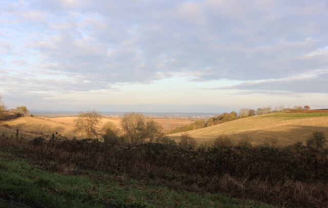
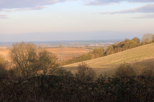
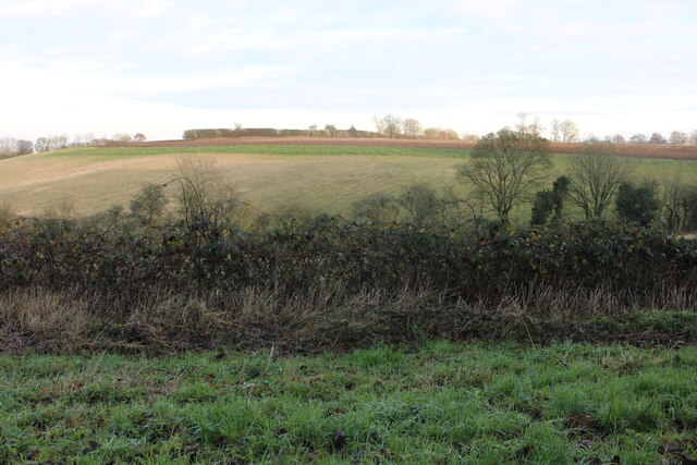
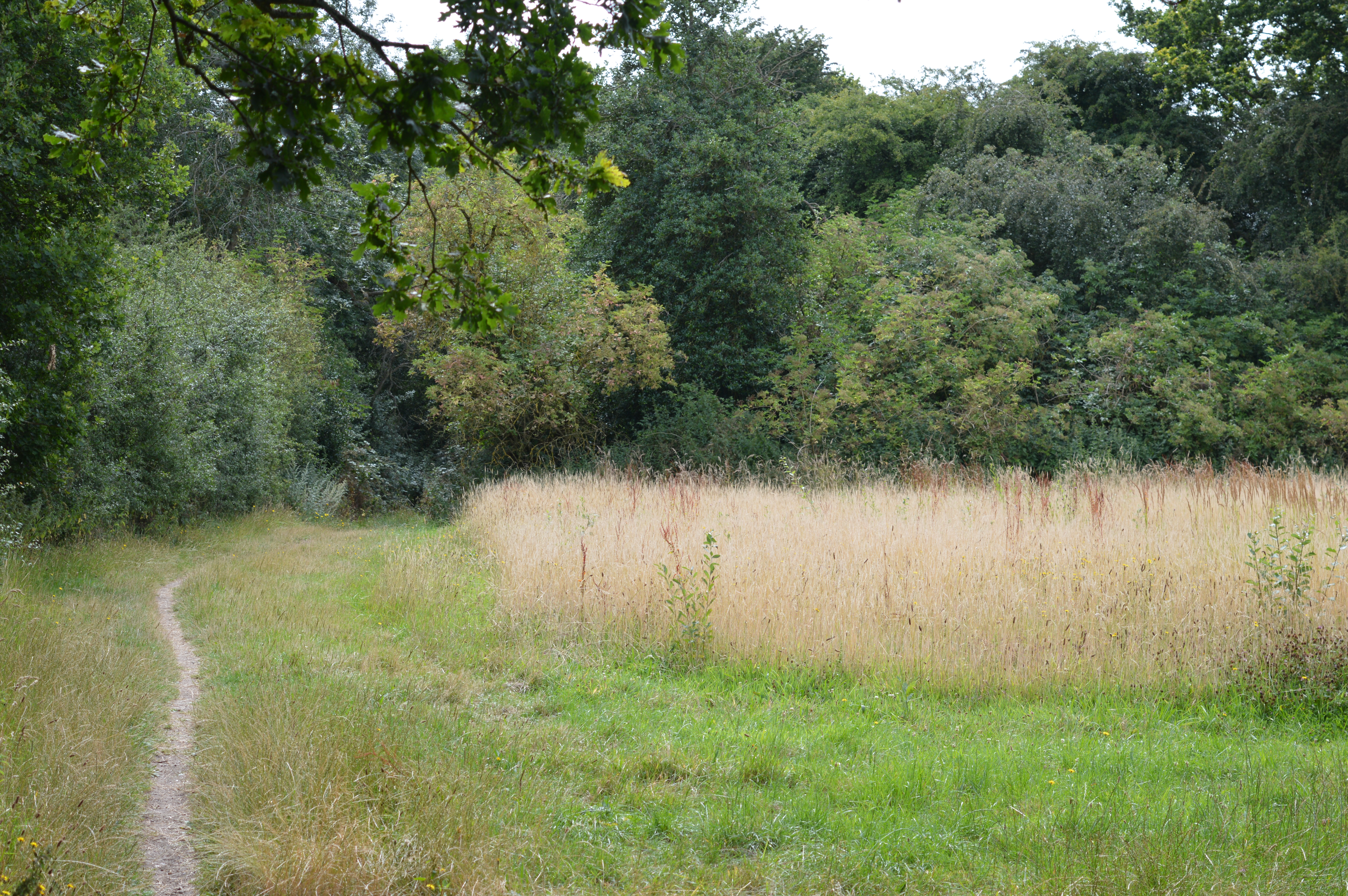
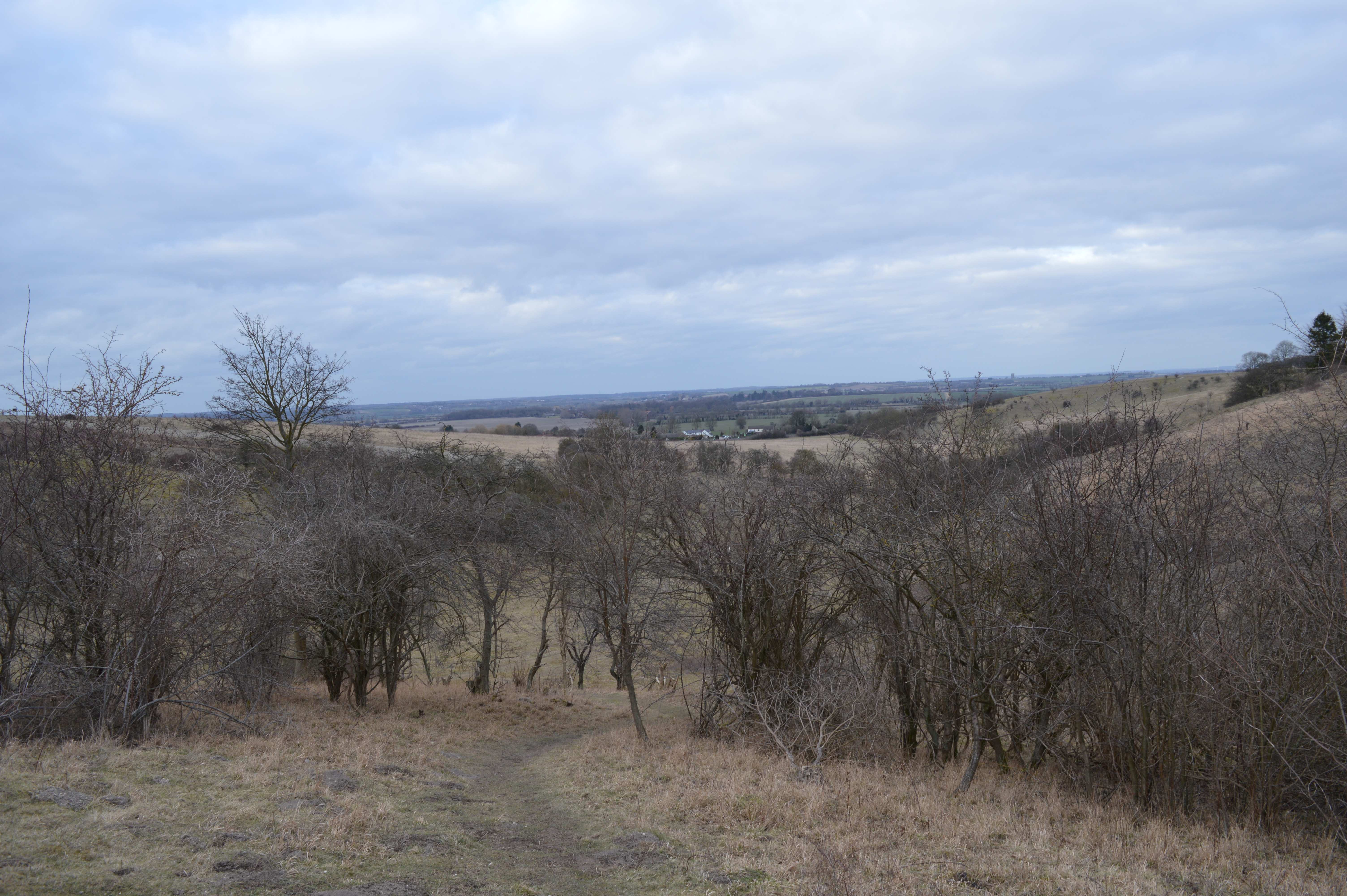
Situated near the village of Chorleywood, Birkitt Hill offers breathtaking panoramic views of the surrounding countryside, including the nearby Chiltern Hills and the lush valleys that stretch towards the horizon. The hill's summit can be easily accessed by foot, providing visitors with an ideal vantage point to admire the natural beauty of the area.

From a geological perspective, Birkitt Hill is primarily composed of chalk, a sedimentary rock formed from the remains of microscopic marine organisms. This chalk formation is characteristic of the Chiltern Hills area and contributes to the region's unique landscape.

In addition to its geological significance, Birkitt Hill also holds historical value. The hill is home to several ancient burial mounds dating back to the Neolithic period, indicating human activity in the area for thousands of years. These burial mounds serve as a testament to the long-standing presence of human civilization in Hertfordshire.

Overall, Birkitt Hill in Hertfordshire offers both natural beauty and historical intrigue. Its elevation, geological composition, and cultural heritage make it an attractive destination for hikers, nature enthusiasts, and history buffs alike.

If you have any feedback on the listing, please let us know in the comments section below.
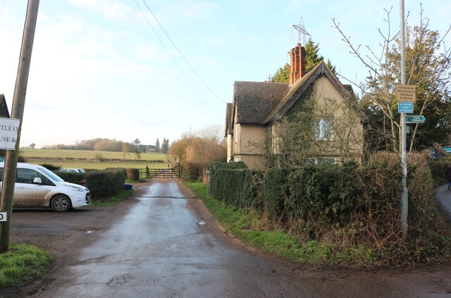
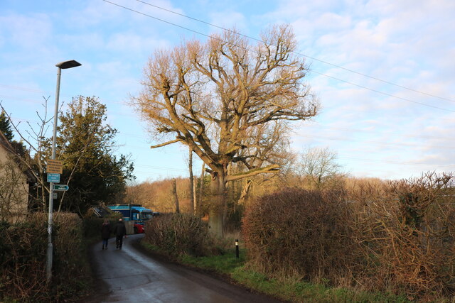
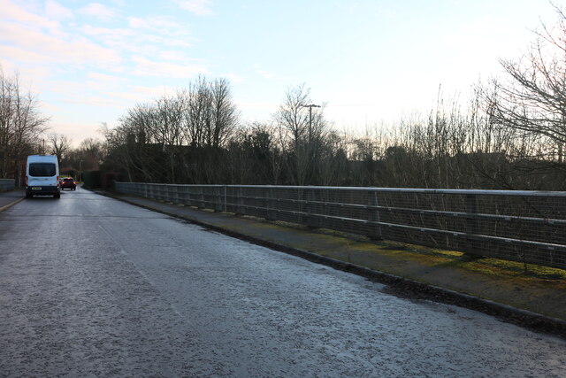
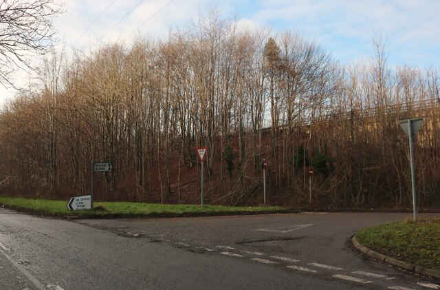
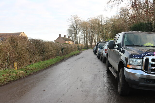
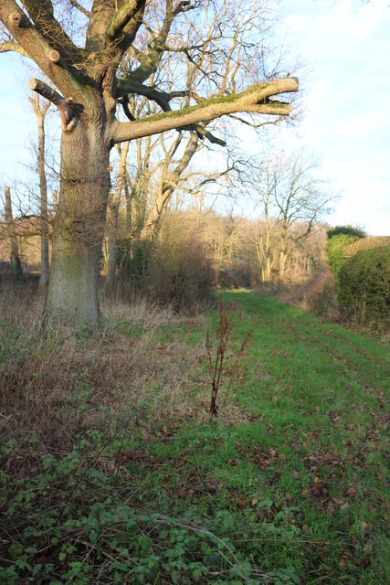
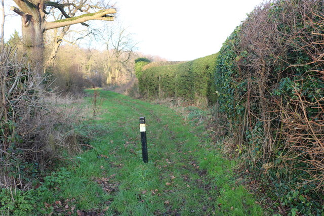
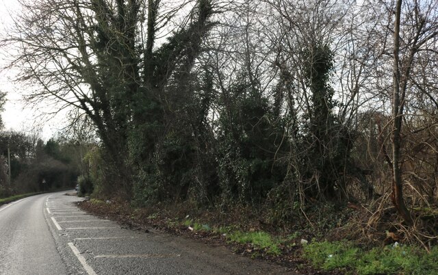
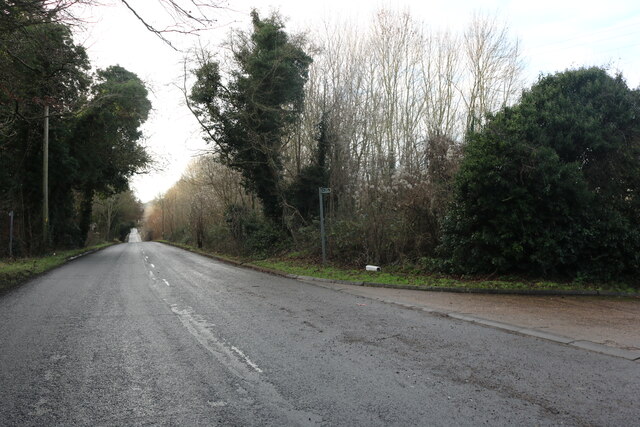
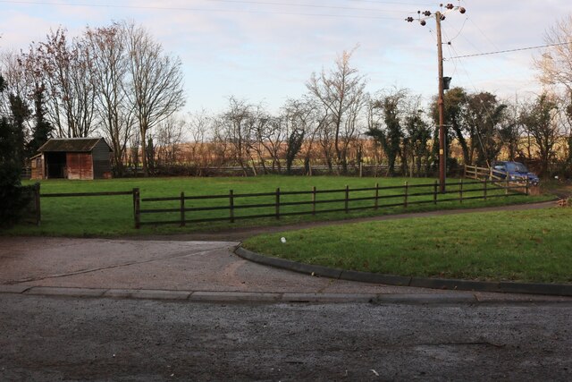
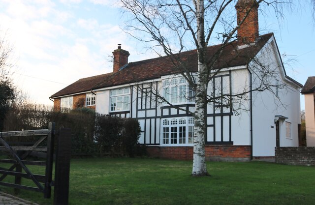
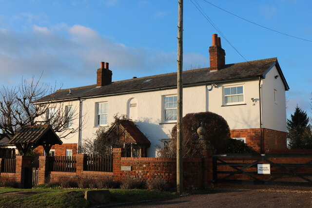
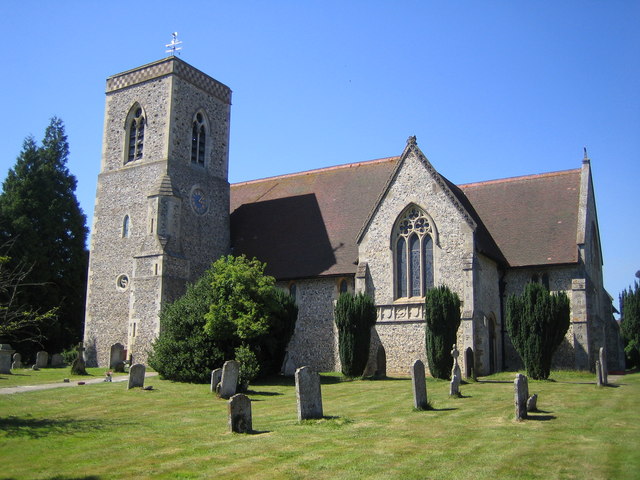
Birkitt Hill Images

Images are sourced within 2km of 51.934504/-0.34253826 or Grid Reference TL1427. Thanks to Geograph Open Source API. All images are credited.

The end of the road Little Offley is just one road and it doesn't go anywhere. This track leads off it near the far end.
The end of the road
Little Offley is just one road and it doesn't go anywhere. This track leads off it near the far end.
School Lane, Little Offley It was a very busy Sunday afternoon considering, with lots of walkers out for the nice weather in proper gear. They were all parked up along the road (and quite a few nearby) changing by the roadside.
School Lane, Little Offley
It was a very busy Sunday afternoon considering, with lots of walkers out for the nice weather in proper gear. They were all parked up along the road (and quite a few nearby) changing by the roadside.
School Lane crossing the Offley Bypass
Offley Hill by the Offley Bypass
Offley Endowed Primary School
School Lane, Great Offley The school is on the right
School Lane, Great Offley
The school is on the right
View across Birkitt Hill, Little Offley
School Lane, Little Offley
Birkitt Hill, Little Offley
Path in Little Offley
Offley Hill, Great Offley
Lawn by Offley Hill, Great Offley
House on School Lane, Great Offley
Mill Farm Cottage, Great Offley Built in 1847
Mill Farm Cottage, Great Offley
Built in 1847
Show me another place!

Birkitt Hill is located at Grid Ref: TL1427 (Lat: 51.934504, Lng: -0.34253826)

Administrative County: Hertfordshire

District: North Hertfordshire

Police Authority: Hertfordshire

What 3 Words

///suckle.forehand.glory. Near Pirton, Hertfordshire

Related Wikis

Offley

Offley is a civil parish in the English county of Hertfordshire, between Hitchin and Luton. The main village is Great Offley, and the parish also contains...

Hitchin Yeshiva

Yeshivas Toras Chessed is a Jewish yeshiva, or rabbinical school. Its curriculum focuses on Torah study, emphasizing the study of Talmud and Jewish law...

Telegraph Hill, Hertfordshire

Telegraph Hill is a nature reserve near Lilley in north Hertfordshire. It is in the Chilterns Area of Outstanding Natural Beauty (AONB). According to...

Lilley, Hertfordshire

Lilley is a small village and civil parish situated between Hitchin and Luton in Hertfordshire, England. Lilley stands on high ground: nearby Telegraph...

Deacon Hill SSSI

Deacon Hill SSSI is a 35.4-hectare (87-acre) biological Site of Special Scientific Interest in Pegsdon in Bedfordshire. It is in the Chilterns Area of...

Pegsdon Hills and Hoo Bit

Pegsdon Hills and Hoo Bit is a 79-hectare (200-acre) nature reserve in Pegsdon in Bedfordshire. It is managed by the Wildlife Trust for Bedfordshire, Cambridgeshire...

Knocking Hoe

Knocking Hoe is a 7.7 hectare National Nature Reserve and biological Site of Special Scientific Interest near Pegsdon in Bedfordshire. It is mentioned...
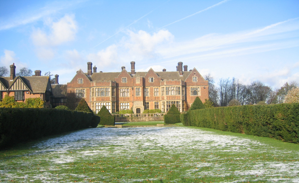
Putteridge Bury

Putteridge Bury is a country house on the edge of the built-up area of Luton, Bedfordshire, England but located just over the county boundary in the parish...

Nearby Amenities

Located within 500m of 51.934504,-0.34253826
Traffic Calming: table
Lat/Long: 51.9309608/-0.3406535
Bus Stop
Post Office nr
Bench: yes
Bin: yes
Local Ref: NR
Naptan AtcoCode: 210021100080
Naptan Bearing: NE
Naptan CommonName: Post Office
Naptan Crossing: Westbury Farm Close
Naptan Indicator: nr
Naptan Landmark: Westbury Farm Close
Naptan NaptanCode: hrtgmdpw
Naptan PlusbusZoneRef: HITCHIN
Naptan ShortCommonName: NA
Naptan Street: Luton Road
Naptan Verified: no
Ref: 101
Ref SMS: hrtgmdpw
Shelter: yes
Source: naptan_import
Lat/Long: 51.9302149/-0.3414131
Barrier: kissing_gate
Foot: yes
Lat/Long: 51.9329654/-0.3437339
Barrier: stile
Lat/Long: 51.9336601/-0.339803
Barrier: kissing_gate
Foot: yes
Lat/Long: 51.932748/-0.342755
Barrier: stile
Lat/Long: 51.9337317/-0.3369846
Communication Microwave: yes
Man Made: tower
Operator: Arqiva
Tower Construction: lattice
Tower Type: communication
Lat/Long: 51.9327368/-0.3426436
Surface: sett
Traffic Calming: bump
Lat/Long: 51.9303935/-0.3412982
Post Office
Offley Stores Post Office Counter
Location: indoor
Opening Hours: Mo-Fr 09:00-17:30; Sa 09:00-12:30; Su off
Operator: The Post Office
Source: long-exposure GPS;knowledge
Lat/Long: 51.9301828/-0.3418387
Disused Amenity: post_box
Historic: postbox
Location: outdoor
Post Box Type: wall
Royal Cypher: GR
Lat/Long: 51.9343668/-0.3423009
Access: private
Barrier: cattle_grid
Bicycle: yes
Material: metal
Motorcycle: yes
Lat/Long: 51.937352/-0.3474769
Give Way
Direction: forward
Lat/Long: 51.9303685/-0.341244
Give Way
Direction: forward
Source Give Way: sign
Lat/Long: 51.930942/-0.3407378
Give Way
Direction: backward
Source Give Way: sign
Lat/Long: 51.9317308/-0.341441
Give Way
Direction: backward
Source Give Way: sign
Lat/Long: 51.9309432/-0.3406057
Communication Bos: no
Communication Microwave: no
Communication Mobile Phone: yes
Communication Radio: no
Communication Television: no
Man Made: antenna
Operator: Vodafone
Ref: 33396
Tower Type: communication
Lat/Long: 51.9325801/-0.3433411
Communication Bos: no
Communication Microwave: no
Communication Mobile Phone: yes
Communication Radio: no
Communication Television: no
Man Made: antenna
Operator: EE
Ref: 16724
Tower Type: communication
Lat/Long: 51.9326146/-0.343323
Communication Bos: no
Communication Microwave: no
Communication Mobile Phone: yes
Communication Radio: no
Communication Television: no
Man Made: antenna
Operator: O2
Ref: 10431
Tower Type: communication
Lat/Long: 51.9326311/-0.3432705
Bus: yes
Direction: forward
Public Transport: stop_position
Ref: 101
Ref SMS: hrtgmdpw
Lat/Long: 51.9301936/-0.3413446
Traffic Calming: bump
Lat/Long: 51.9306563/-0.3399619
Access: private
Door: overhead
Entrance: yes
Motorcar: private
Lat/Long: 51.9304298/-0.34063
Access: private
Door: overhead
Entrance: yes
Motorcar: private
Lat/Long: 51.9302767/-0.3407806
Access: private
Door: overhead
Entrance: yes
Motorcar: private
Lat/Long: 51.9314571/-0.342311
Access: private
Door: overhead
Entrance: yes
Motorcar: private
Lat/Long: 51.9302773/-0.3404525
Access: private
Door: overhead
Entrance: yes
Motorcar: private
Lat/Long: 51.9303329/-0.340308
Access: private
Addr Flats: 8A
Addr Housenumber: 8A
Addr Street: High Street
Entrance: main
Level: 0
Lat/Long: 51.9305288/-0.3402945
Access: private
Door: overhead
Entrance: yes
Motorcar: private
Lat/Long: 51.9328895/-0.3412458
Access: private
Door: overhead
Entrance: yes
Motorcar: private
Lat/Long: 51.9333189/-0.3414489
Access: private
Door: overhead
Entrance: yes
Motorcar: private
Lat/Long: 51.9333696/-0.3415327
Access: private
Door: overhead
Entrance: yes
Motorcar: private
Lat/Long: 51.9334568/-0.3410314
Material: wood
Operator: UK Power Networks
Power: pole
Lat/Long: 51.9337084/-0.3486617
Material: wood
Operator: UK Power Networks
Power: pole
Lat/Long: 51.9337754/-0.3472576
Material: wood
Operator: UK Power Networks
Power: pole
Lat/Long: 51.9338531/-0.3458816
Material: wood
Operator: UK Power Networks
Power: pole
Lat/Long: 51.9339333/-0.3444748
Material: wood
Operator: UK Power Networks
Power: pole
Lat/Long: 51.9338821/-0.3435722
Material: wood
Operator: UK Power Networks
Power: pole
Lat/Long: 51.9338531/-0.3429285
Material: wood
Operator: UK Power Networks
Power: pole
Lat/Long: 51.933906/-0.3355457
Material: wood
Operator: UK Power Networks
Power: pole
Lat/Long: 51.9336753/-0.3370035
Material: wood
Operator: UK Power Networks
Power: pole
Lat/Long: 51.9337626/-0.3385598
Material: wood
Operator: UK Power Networks
Power: pole
Lat/Long: 51.9337746/-0.3399606
Material: wood
Operator: UK Power Networks
Power: pole
Lat/Long: 51.9336265/-0.3407418
Guyed: yes
Material: wood
Operator: UK Power Networks
Power: pole
Lat/Long: 51.9333764/-0.3418556
Waste Basket
Waste: trash
Lat/Long: 51.9307795/-0.3404337
Bench
Backrest: yes
Material: wood;concrete
Seats: 4
Lat/Long: 51.930637/-0.3406479
Bench
Backrest: yes
Material: metal
Seats: 4
Lat/Long: 51.9306682/-0.3406348
Bench
Backrest: yes
Direction: W
Material: wood;concrete
Seats: 4
Lat/Long: 51.9307193/-0.3405732
Bench
Backrest: yes
Direction: N
Material: wood;concrete
Seats: 4
Lat/Long: 51.9306484/-0.3407683
Access: private
Entrance: main
Lat/Long: 51.93205/-0.3411019
Access: private
Door: overhead
Entrance: yes
Motorcar: private
Lat/Long: 51.9325523/-0.3422217
Access: private
Door: overhead
Entrance: yes
Motorcar: private
Lat/Long: 51.9320339/-0.341601
Access: private
Door: overhead
Entrance: yes
Motorcar: private
Lat/Long: 51.932071/-0.3415646
Access: private
Door: overhead
Entrance: yes
Motorcar: private
Lat/Long: 51.9322245/-0.3414744
Access: private
Door: overhead
Entrance: yes
Motorcar: private
Lat/Long: 51.93165/-0.3420354
Noexit: yes
Lat/Long: 51.9317639/-0.342209
Noexit: yes
Lat/Long: 51.9317276/-0.3422626
Access: private
Door: overhead
Entrance: yes
Motorcar: private
Lat/Long: 51.9319839/-0.343058
Access: customers
Entrance: main
Lat/Long: 51.9300947/-0.3418782
Access: private
Door: overhead
Entrance: yes
Motorcar: private
Lat/Long: 51.9303763/-0.341808
Access: private
Door: overhead
Entrance: yes
Motorcar: private
Lat/Long: 51.9309595/-0.3425196
Access: private
Door: overhead
Entrance: yes
Motorcar: private
Lat/Long: 51.9308154/-0.3423015
Access: private
Door: overhead
Entrance: yes
Motorcar: private
Lat/Long: 51.930908/-0.3423966
Access: private
Door: overhead
Entrance: yes
Motorcar: private
Lat/Long: 51.9311196/-0.3422027
Access: private
Door: overhead
Entrance: yes
Motorcar: private
Lat/Long: 51.9308636/-0.3418665
Access: private
Door: overhead
Entrance: yes
Motorcar: private
Lat/Long: 51.9308099/-0.34151
Access: private
Door: overhead
Entrance: yes
Motorcar: private
Lat/Long: 51.9308419/-0.3415463
Access: private
Door: overhead
Entrance: yes
Motorcar: private
Lat/Long: 51.9308712/-0.3415797
Access: private
Door: overhead
Entrance: yes
Motorcar: private
Lat/Long: 51.930848/-0.3413737
Access: private
Door: overhead
Entrance: yes
Motorcar: private
Lat/Long: 51.9307042/-0.341348
Waste Basket
Waste: trash
Lat/Long: 51.9307925/-0.3409245
Bench
Backrest: yes
Direction: NE
Material: wood;concrete
Seats: 4
Lat/Long: 51.9308045/-0.3409329
Access: private
Door: overhead
Entrance: yes
Motorcar: private
Lat/Long: 51.9312448/-0.3413926
Access: private
Door: overhead
Entrance: yes
Motorcar: private
Lat/Long: 51.9313104/-0.3415118
Access: private
Entrance: yes
Lat/Long: 51.9354704/-0.3399226
Cover: roof
Marker: post
Material: concrete
Operator: Total Fina
Pipeline: marker
Pipeline Ref: S82-1
Ref: 117
Substance: oil
Support: pole
Utility: oil
Lat/Long: 51.934696/-0.3438812
Ele: 165
Man Made: monitoring_station
Monitoring Air Quality: yes
Recording Automated: yes
Lat/Long: 51.9342012/-0.3418985
Waste Basket
Waste: dog_excrement
Lat/Long: 51.9334736/-0.3412853
Motor Vehicle: no
Traffic Sign: motor_vehicle
Lat/Long: 51.9350934/-0.3464274
Grit Bin
Colour: yellow
Lat/Long: 51.9347013/-0.3460764
Barrier: bollard
Bicycle: yes
Foot: yes
Horse: yes
Material: metal
Motorcycle: no
Lat/Long: 51.9347213/-0.3461454
Barrier: bollard
Bicycle: yes
Foot: yes
Horse: yes
Material: metal
Motorcycle: no
Lat/Long: 51.934714/-0.3461316
Barrier: bollard
Bicycle: yes
Foot: yes
Horse: yes
Material: metal
Motorcycle: no
Lat/Long: 51.9347091/-0.3461226
Noexit: yes
Lat/Long: 51.9343848/-0.3426462
Access: private
Addr Housenumber: 10
Addr Street: High Street
Entrance: main
Level: 0
Lat/Long: 51.9304816/-0.3401991
Access: customers
Addr Housenumber: 8
Addr Street: High Street
Entrance: main
Level: 0
Lat/Long: 51.9305719/-0.3401417
Crossing
Crossing Ref: zebra
Lat/Long: 51.9308527/-0.340747
Cover: roof
Marker: post
Material: concrete
Operator: Total Fina
Pipeline: marker
Pipeline Ref: S82-1
Ref: 117
Substance: oil
Support: pole
Utility: oil
Lat/Long: 51.9346486/-0.3438954
Cover: roof
Description: A 2m tall white post with a red pitched roof having a black medial stripe.
Marker: aerial
Operator: Total Fina
Pipeline: marker
Pipeline Ref: S82-1
Substance: oil
Support: pole
Utility: oil
Lat/Long: 51.9347026/-0.3438815
The data included in this document is from www.openstreetmap.org. The data is made available under ODbL.

Have you been to Birkitt Hill?

Leave your review of Birkitt Hill below (or comments, questions and feedback).