Oldroad Plantation

Wood, Forest in Hertfordshire North Hertfordshire

England

Oldroad Plantation

The end of the road Little Offley is just one road and it doesn't go anywhere. This track leads off it near the far end.
The end of the road Credit: David Howard

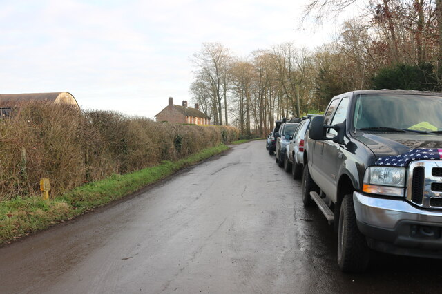
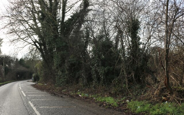
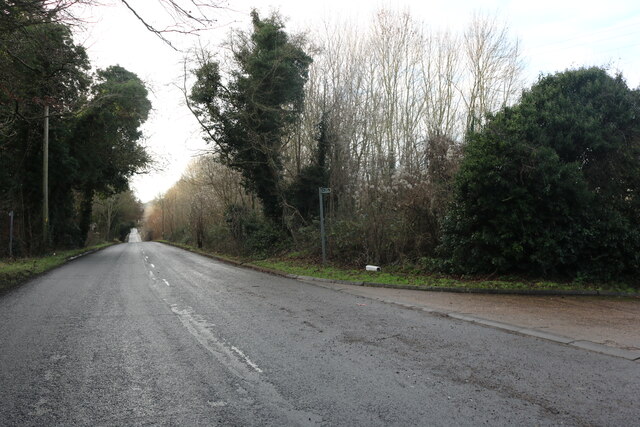
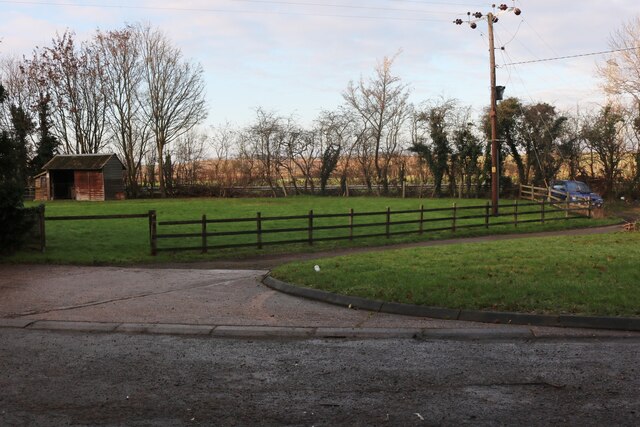
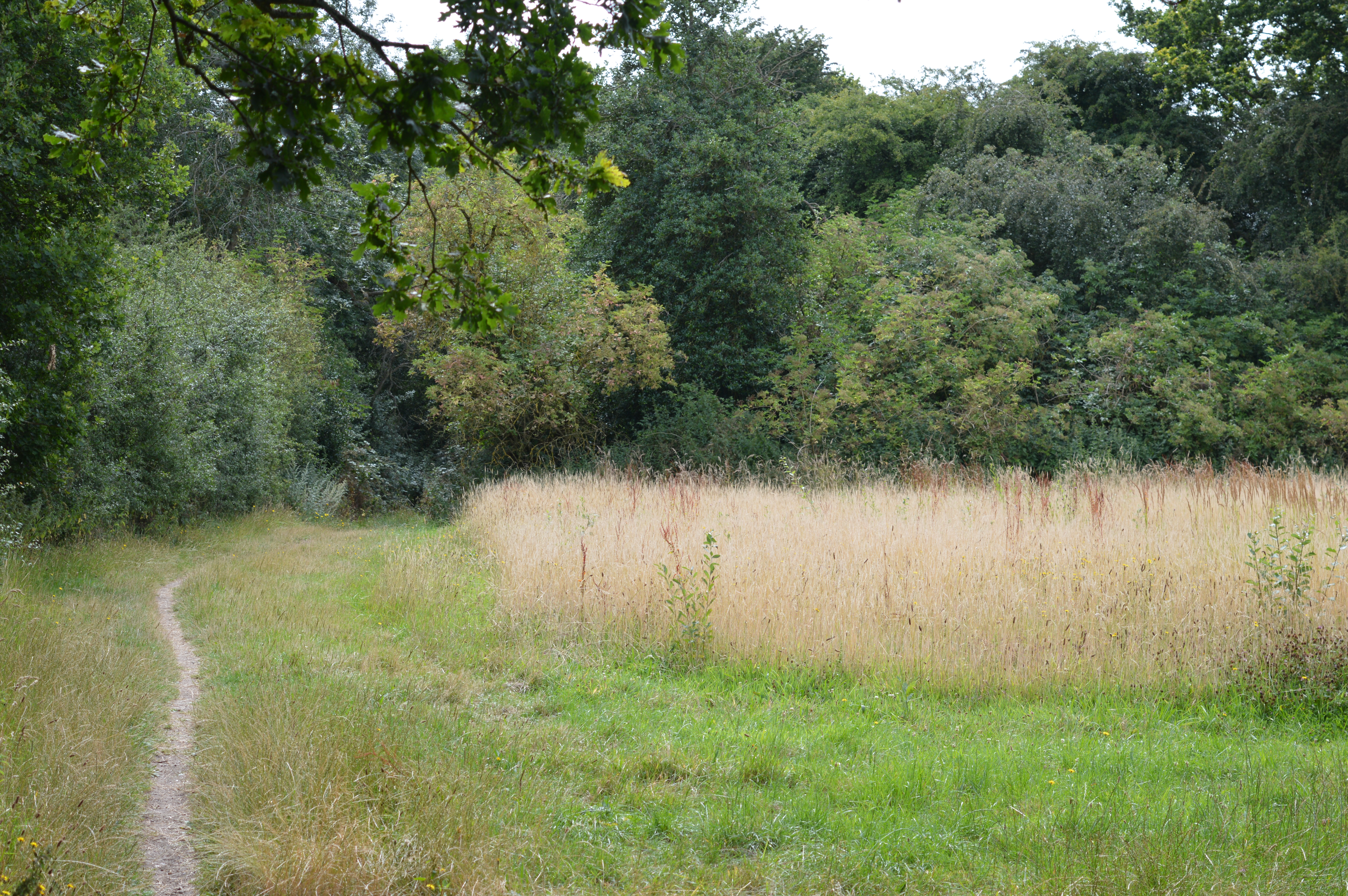
Oldroad Plantation is a picturesque woodland located in the heart of Hertfordshire, England. Situated near the town of Wood, this enchanting forest covers an area of approximately 50 acres and is a popular destination for nature enthusiasts and hikers alike.

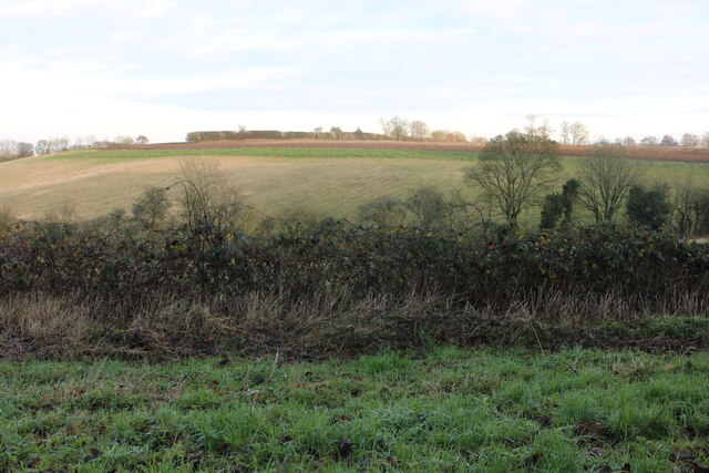
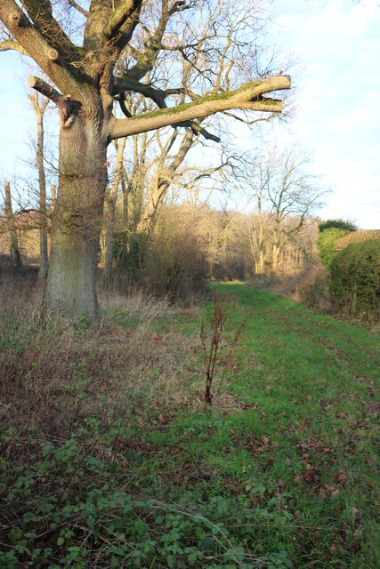
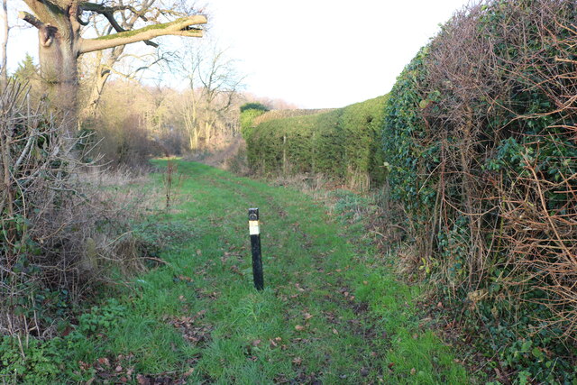
The plantation boasts a diverse range of tree species, including majestic oak, beech, and birch trees, creating a rich and vibrant ecosystem. The forest floor is adorned with a carpet of wildflowers, adding a splash of color to the surroundings during the spring and summer months.

Visitors to Oldroad Plantation can explore a network of well-maintained trails that wind through the woodland, offering stunning views of the surrounding countryside. These pathways cater to all levels of fitness, making the plantation an accessible destination for individuals of all ages.

The forest is also home to a variety of wildlife, providing a natural habitat for numerous species. Birdwatchers can spot a wide range of avian creatures, including woodpeckers, owls, and various songbirds. Squirrels and rabbits can often be seen darting among the trees, while the lucky observer may catch a glimpse of a deer or fox.

The tranquil ambiance of Oldroad Plantation makes it an ideal location for relaxation and meditation. Many visitors choose to bring a picnic and enjoy the peaceful atmosphere, while others simply find solace in the calming sounds of nature.

Overall, Oldroad Plantation is a hidden gem in Hertfordshire, offering a serene escape from the hustle and bustle of daily life. With its stunning natural beauty and abundant wildlife, it is a must-visit destination for those seeking a connection with nature.

If you have any feedback on the listing, please let us know in the comments section below.

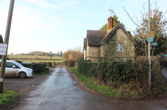
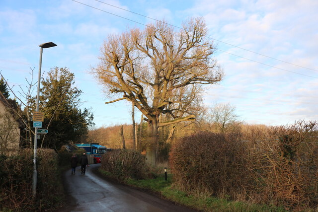
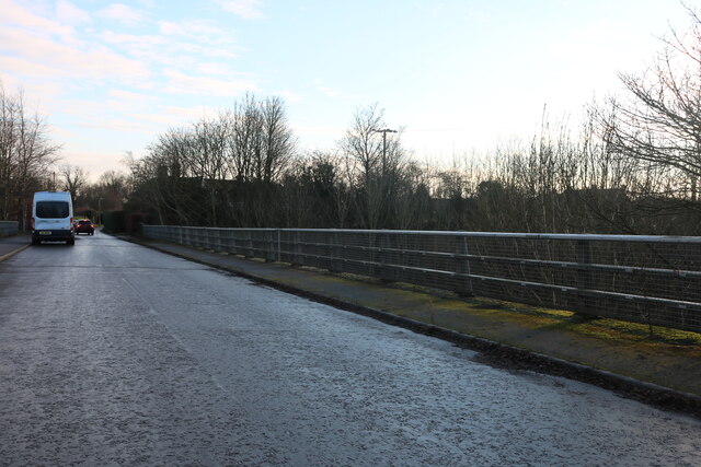
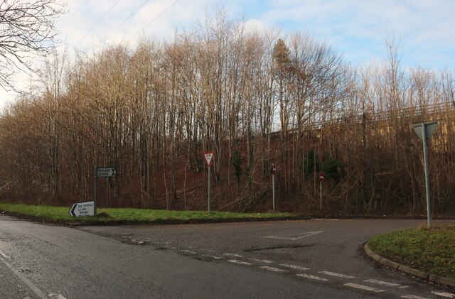
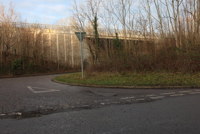
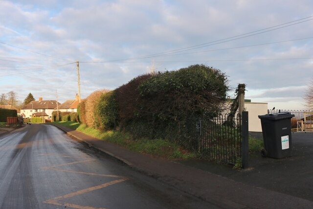
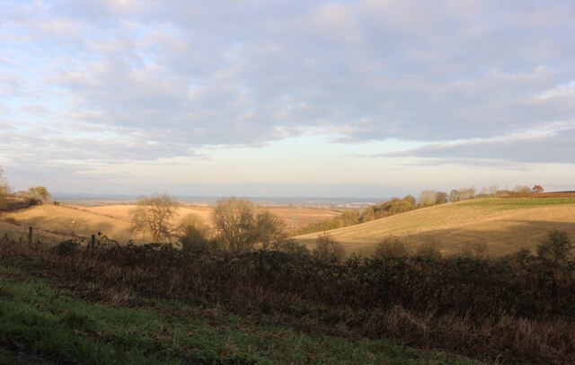
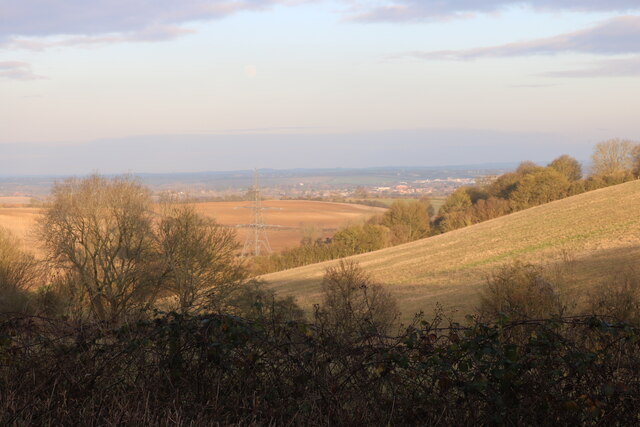
Oldroad Plantation Images

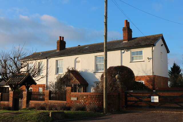
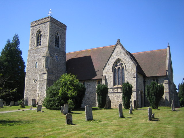
Images are sourced within 2km of 51.93118/-0.33445721 or Grid Reference TL1427. Thanks to Geograph Open Source API. All images are credited.

The end of the road Little Offley is just one road and it doesn't go anywhere. This track leads off it near the far end.
The end of the road
Little Offley is just one road and it doesn't go anywhere. This track leads off it near the far end.
School Lane, Little Offley It was a very busy Sunday afternoon considering, with lots of walkers out for the nice weather in proper gear. They were all parked up along the road (and quite a few nearby) changing by the roadside.
School Lane, Little Offley
It was a very busy Sunday afternoon considering, with lots of walkers out for the nice weather in proper gear. They were all parked up along the road (and quite a few nearby) changing by the roadside.
School Lane crossing the Offley Bypass
Offley Hill by the Offley Bypass
Offley Endowed Primary School
School Lane, Great Offley The school is on the right
School Lane, Great Offley
The school is on the right
View across Birkitt Hill, Little Offley
School Lane, Little Offley
Birkitt Hill, Little Offley
Path in Little Offley
Offley Hill, Great Offley
Lawn by Offley Hill, Great Offley
House on School Lane, Great Offley
Mill Farm Cottage, Great Offley Built in 1847
Mill Farm Cottage, Great Offley
Built in 1847
Show me another place!

Oldroad Plantation is located at Grid Ref: TL1427 (Lat: 51.93118, Lng: -0.33445721)

Administrative County: Hertfordshire

District: North Hertfordshire

Police Authority: Hertfordshire

What 3 Words

///blank.soonest.forms. Near Hitchin, Hertfordshire

Related Wikis

Offley

Offley is a civil parish in the English county of Hertfordshire, between Hitchin and Luton. The main village is Great Offley, and the parish also contains...

Hitchin Yeshiva

Yeshivas Toras Chessed is a Jewish yeshiva, or rabbinical school. Its curriculum focuses on Torah study, emphasizing the study of Talmud and Jewish law...

Lilley, Hertfordshire

Lilley is a small village and civil parish situated between Hitchin and Luton in Hertfordshire, England. Lilley stands on high ground: nearby Telegraph...

Telegraph Hill, Hertfordshire

Telegraph Hill is a nature reserve near Lilley in north Hertfordshire. It is in the Chilterns Area of Outstanding Natural Beauty (AONB). According to...

Nearby Amenities

Located within 500m of 51.93118,-0.33445721
Great Offley
Ele: 159
Place: village
Population: 1400
Postal Code: SG5 3
Wikidata: Q2776483
Wikipedia: en:Offley
Lat/Long: 51.9292697/-0.3395078
Traffic Calming: table
Lat/Long: 51.9309608/-0.3406535
Give Way
Direction: backward
Note: unsuitable for motor vehicles sign
Source Give Way: implied
Lat/Long: 51.9268285/-0.3349463
Bus Stop
Post Office nr
Bench: yes
Bin: yes
Local Ref: NR
Naptan AtcoCode: 210021100080
Naptan Bearing: NE
Naptan CommonName: Post Office
Naptan Crossing: Westbury Farm Close
Naptan Indicator: nr
Naptan Landmark: Westbury Farm Close
Naptan NaptanCode: hrtgmdpw
Naptan PlusbusZoneRef: HITCHIN
Naptan ShortCommonName: NA
Naptan Street: Luton Road
Naptan Verified: no
Ref: 101
Ref SMS: hrtgmdpw
Shelter: yes
Source: naptan_import
Lat/Long: 51.9302149/-0.3414131
Barrier: kissing_gate
Foot: yes
Lat/Long: 51.931818/-0.3349818
Access: yes
Barrier: kissing_gate
Foot: yes
Vehicle: no
Lat/Long: 51.9298153/-0.3283675
Barrier: kissing_gate
Lat/Long: 51.9302144/-0.3385598
Barrier: stile
Lat/Long: 51.9336601/-0.339803
Barrier: stile
Lat/Long: 51.9337317/-0.3369846
Surface: sett
Traffic Calming: bump
Lat/Long: 51.9303935/-0.3412982
Turning Circle
Lat/Long: 51.9293498/-0.3358297
Recycling
Lat/Long: 51.927827/-0.3346753
Post Box
Gosling Avenue
Collection Times: Mo-Fr 16:30; Sa 08:45
Direction: NW
Operator: Royal Mail
Post Box Type: lamp
Postal Code: SG5 3EP
Ref: SG5 126
Royal Cypher: EIIR
Royal Cypher Wikidata: Q33102113
Lat/Long: 51.9280797/-0.3380651
Access: private
Addr Flats: 1;2;3;4;5;6;7;8;9;10;11;12;13;14;15;16;17;18;19;20;21;22
Entrance: main
Lat/Long: 51.9274489/-0.3371464
Barrier: kissing_gate
Bicycle: no
Foot: yes
Material: wood
Lat/Long: 51.9270716/-0.3349675
Offley War Memorial
Artist Name: Farmer and Brindley
Description: Crucifix on three concentric base octagons. Figure stated to have been based on a carving in Worcester Cathedral.
Direction: NE
Historic: memorial
Inscription: IN MEMORY OF THE MEN OF OFFLEY WHO GAVE THEIR LIVES IN THE GREAT WAR 1914-1919 SUCH A DEATH IS IMMORTALITY
Memorial: war_memorial
Ref WM: 3825
Ref WMO ID: 118850
Source: knowledge
Start Date: 1920-03-07
Wheelchair: limited
Lat/Long: 51.9276414/-0.3358854
Barrier: kissing_gate
Foot: yes
Lat/Long: 51.9303571/-0.337988
Barrier: kissing_gate
Foot: yes
Lat/Long: 51.9309716/-0.3366229
Noexit: yes
Lat/Long: 51.9294128/-0.3393458
Give Way
Direction: forward
Lat/Long: 51.9275378/-0.3357039
Give Way
Direction: forward
Lat/Long: 51.9286505/-0.3371108
Give Way
Direction: forward
Lat/Long: 51.9276982/-0.3385444
Give Way
Direction: backward
Lat/Long: 51.9269774/-0.3369203
Give Way
Direction: forward
Lat/Long: 51.9303685/-0.341244
Crossing
Bicycle: dismount
Crossing: unmarked
Sloped Curb: both
Tactile Paving: both
Lat/Long: 51.9295512/-0.3404806
Give Way
Direction: forward
Source Give Way: sign
Lat/Long: 51.930942/-0.3407378
Give Way
Direction: backward
Source Give Way: sign
Lat/Long: 51.9317308/-0.341441
Give Way
Direction: backward
Source Give Way: sign
Lat/Long: 51.9309432/-0.3406057
Noexit: yes
Lat/Long: 51.928894/-0.340302
Noexit: yes
Lat/Long: 51.9299069/-0.3403534
Noexit: yes
Lat/Long: 51.9297153/-0.3397484
Noexit: yes
Lat/Long: 51.9290123/-0.3399177
Noexit: yes
Lat/Long: 51.9297524/-0.3412414
Bus: yes
Direction: forward
Public Transport: stop_position
Ref: 101
Ref SMS: hrtgmdpw
Lat/Long: 51.9301936/-0.3413446
Give Way
Direction: backward
Source Give Way: sign
Lat/Long: 51.9343121/-0.3322211
Give Way
Direction: forward
Source Give Way: sign
Lat/Long: 51.9341847/-0.3321889
Traffic Calming: bump
Lat/Long: 51.9306563/-0.3399619
Access: private
Door: overhead
Entrance: yes
Motorcar: private
Lat/Long: 51.9304298/-0.34063
Access: private
Door: overhead
Entrance: yes
Motorcar: private
Lat/Long: 51.9302767/-0.3407806
Access: private
Door: overhead
Entrance: yes
Motorcar: private
Lat/Long: 51.9302773/-0.3404525
Access: private
Door: overhead
Entrance: yes
Motorcar: private
Lat/Long: 51.9303329/-0.340308
Access: private
Addr Flats: 8A
Addr Housenumber: 8A
Addr Street: High Street
Entrance: main
Level: 0
Lat/Long: 51.9305288/-0.3402945
Material: wood
Operator: UK Power Networks
Power: pole
Lat/Long: 51.9343311/-0.3307539
Material: wood
Operator: UK Power Networks
Power: pole
Lat/Long: 51.9342269/-0.3319395
Material: wood
Operator: UK Power Networks
Power: pole
Lat/Long: 51.9340979/-0.3333771
Material: wood
Operator: UK Power Networks
Power: pole
Lat/Long: 51.9339846/-0.3346981
Material: wood
Operator: UK Power Networks
Power: pole
Lat/Long: 51.933906/-0.3355457
Material: wood
Operator: UK Power Networks
Power: pole
Lat/Long: 51.9336753/-0.3370035
Material: wood
Operator: UK Power Networks
Power: pole
Lat/Long: 51.9337626/-0.3385598
Material: wood
Operator: UK Power Networks
Power: pole
Lat/Long: 51.9337746/-0.3399606
Waste Basket
Waste: trash
Lat/Long: 51.9307795/-0.3404337
Bench
Backrest: yes
Material: wood;concrete
Seats: 4
Lat/Long: 51.930637/-0.3406479
Bench
Backrest: yes
Material: metal
Seats: 4
Lat/Long: 51.9306682/-0.3406348
Bench
Backrest: yes
Direction: W
Material: wood;concrete
Seats: 4
Lat/Long: 51.9307193/-0.3405732
Bench
Backrest: yes
Direction: N
Material: wood;concrete
Seats: 4
Lat/Long: 51.9306484/-0.3407683
Access: private
Entrance: main
Lat/Long: 51.93205/-0.3411019
Access: private
Door: overhead
Entrance: yes
Motorcar: private
Lat/Long: 51.9320339/-0.341601
Access: private
Door: overhead
Entrance: yes
Motorcar: private
Lat/Long: 51.932071/-0.3415646
Access: private
Door: overhead
Entrance: yes
Motorcar: private
Lat/Long: 51.9322245/-0.3414744
Access: private
Door: overhead
Entrance: yes
Motorcar: private
Lat/Long: 51.9308099/-0.34151
Access: private
Door: overhead
Entrance: yes
Motorcar: private
Lat/Long: 51.9308419/-0.3415463
Access: private
Door: overhead
Entrance: yes
Motorcar: private
Lat/Long: 51.9308712/-0.3415797
Access: private
Door: overhead
Entrance: yes
Motorcar: private
Lat/Long: 51.930848/-0.3413737
Access: private
Door: overhead
Entrance: yes
Motorcar: private
Lat/Long: 51.9307042/-0.341348
Waste Basket
Waste: trash
Lat/Long: 51.9307925/-0.3409245
Bench
Backrest: yes
Direction: NE
Material: wood;concrete
Seats: 4
Lat/Long: 51.9308045/-0.3409329
Access: private
Door: overhead
Entrance: yes
Motorcar: private
Lat/Long: 51.9312448/-0.3413926
Access: private
Door: overhead
Entrance: yes
Motorcar: private
Lat/Long: 51.9313104/-0.3415118
Access: private
Door: overhead
Entrance: yes
Motorcar: private
Lat/Long: 51.9294768/-0.3408343
Access: private
Door: overhead
Entrance: yes
Motorcar: private
Lat/Long: 51.9295327/-0.3396875
Access: private
Door: overhead
Entrance: yes
Motorcar: private
Lat/Long: 51.9295085/-0.3394037
Access: private
Door: overhead
Entrance: yes
Motorcar: private
Lat/Long: 51.9294415/-0.3393233
Access: private
Door: overhead
Entrance: yes
Motorcar: private
Lat/Long: 51.9294583/-0.3393434
Access: private
Door: overhead
Entrance: yes
Motorcar: private
Lat/Long: 51.9294756/-0.3393642
Access: private
Door: overhead
Entrance: yes
Motorcar: private
Lat/Long: 51.9295257/-0.3394243
Access: private
Door: overhead
Entrance: yes
Motorcar: private
Lat/Long: 51.9295418/-0.3394437
Access: private
Door: overhead
Entrance: yes
Motorcar: private
Lat/Long: 51.9295595/-0.3394649
Access: private
Door: overhead
Entrance: yes
Motorcar: private
Lat/Long: 51.929492/-0.3393838
Access: private
Door: overhead
Entrance: yes
Motorcar: private
Lat/Long: 51.9297947/-0.3402313
Give Way
Direction: forward
Source Give Way: implied
Lat/Long: 51.929501/-0.340489
Sett Material: granite
Surface: sett
Traffic Calming: rumble_strip
Lat/Long: 51.929575/-0.3404441
Access: customers
Entrance: main
Lat/Long: 51.9297708/-0.3408156
Access: private
Door: overhead
Entrance: yes
Motorcar: private
Lat/Long: 51.9290084/-0.3407823
Access: private
Door: overhead
Entrance: yes
Motorcar: private
Lat/Long: 51.9289566/-0.340757
Access: private
Door: overhead
Entrance: yes
Motorcar: private
Lat/Long: 51.9288702/-0.3404587
Access: private
Door: overhead
Entrance: yes
Motorcar: private
Lat/Long: 51.9288397/-0.3405132
Access: private
Door: overhead
Entrance: yes
Motorcar: private
Lat/Long: 51.9292308/-0.3406196
Access: private
Door: overhead
Entrance: yes
Motorcar: private
Lat/Long: 51.9291388/-0.3402502
Access: private
Door: overhead
Entrance: yes
Motorcar: private
Lat/Long: 51.9290107/-0.3400799
Access: private
Door: overhead
Entrance: yes
Motorcar: private
Lat/Long: 51.9293045/-0.3403782
Access: private
Door: overhead
Entrance: yes
Motorcar: private
Lat/Long: 51.9293691/-0.3404064
Access: private
Door: overhead
Entrance: yes
Motorcar: private
Lat/Long: 51.9300699/-0.338918
Access: private
Door: overhead
Entrance: yes
Motorcar: private
Lat/Long: 51.9302029/-0.339155
Access: private
Door: overhead
Entrance: yes
Motorcar: private
Lat/Long: 51.9304116/-0.3391258
Give Way
Direction: forward
Source Give Way: implied
Lat/Long: 51.9298843/-0.3389427
Access: private
Door: overhead
Entrance: yes
Motorcar: private
Lat/Long: 51.930422/-0.3393966
Access: private
Door: overhead
Entrance: yes
Motorcar: private
Lat/Long: 51.9299116/-0.3394822
Waste Basket
Waste: dog_excrement
Lat/Long: 51.9279742/-0.3360697
Fire Hydrant
Emergency: fire_hydrant
Fire Hydrant Count: 1
Fire Hydrant Position: sidewalk
Fire Hydrant Type: underground
Source: Local knowledge
Lat/Long: 51.9276926/-0.3357841
Bench
Backrest: yes
Colour: black
Direction: SW
Material: metal
Seats: 4
Lat/Long: 51.9275853/-0.3355863
Access: customers
Entrance: main
Lat/Long: 51.9281092/-0.3348487
Give Way
Direction: forward
Lat/Long: 51.9289875/-0.3375399
Noexit: yes
Lat/Long: 51.9286466/-0.3390121
Access: private
Addr Flats: 12;14;16;18
Entrance: main
Lat/Long: 51.9282564/-0.3381114
Access: private
Addr Flats: 36;38;40;42
Entrance: main
Lat/Long: 51.9277191/-0.3388039
Access: private
Door: overhead
Entrance: yes
Motorcar: private
Lat/Long: 51.9285769/-0.3391449
Access: private
Door: overhead
Entrance: yes
Motorcar: private
Lat/Long: 51.9283808/-0.338816
Access: private
Door: overhead
Entrance: yes
Motorcar: private
Lat/Long: 51.9285886/-0.3386186
Access: private
Door: overhead
Entrance: yes
Motorcar: private
Lat/Long: 51.9286328/-0.3385346
Access: private
Door: overhead
Entrance: yes
Motorcar: private
Lat/Long: 51.9288466/-0.3375492
Access: private
Door: overhead
Entrance: yes
Motorcar: private
Lat/Long: 51.9285715/-0.3374666
Access: private
Door: overhead
Entrance: yes
Motorcar: private
Lat/Long: 51.9285374/-0.3377506
Give Way
Direction: forward
Lat/Long: 51.929574/-0.3383067
Access: private
Door: overhead
Entrance: yes
Motorcar: private
Lat/Long: 51.9294033/-0.3389494
Waste Basket
Waste: trash
Lat/Long: 51.9286864/-0.3369854
Access: customers
Barrier: swing_gate
Note: Usually open.
Swing Gate Type: single
Lat/Long: 51.9283598/-0.3365193
Crossing
Crossing: unmarked
Sloped Curb: both
Tactile Paving: yes
Lat/Long: 51.9270298/-0.337047
Access: private
Door: overhead
Entrance: yes
Motorcar: private
Lat/Long: 51.9279295/-0.3373671
Access: private
Addr Flats: 27
Entrance: main
Lat/Long: 51.9278989/-0.3380261
Access: private
Addr Flats: 25
Entrance: main
Lat/Long: 51.9279052/-0.3379371
Access: private
Addr Flats: 31
Entrance: main
Lat/Long: 51.9278043/-0.3381755
Access: private
Addr Flats: 29
Entrance: main
Lat/Long: 51.9278525/-0.3381326
Access: private
Addr Flats: 19
Entrance: main
Lat/Long: 51.9280069/-0.3377308
Access: private
Addr Flats: 21
Entrance: main
Lat/Long: 51.9279604/-0.3378374
Access: private
Addr Flats: 23
Entrance: main
Lat/Long: 51.9279123/-0.3378802
Access: private
Addr Flats: 17
Entrance: main
Lat/Long: 51.9280132/-0.3376418
Access: private
Entrance: main
Lat/Long: 51.9280705/-0.3376494
Access: private
Entrance: main
Lat/Long: 51.9282393/-0.3376977
Access: private
Door: overhead
Entrance: yes
Motorcar: private
Lat/Long: 51.9282762/-0.3369878
Access: private
Door: overhead
Entrance: yes
Motorcar: private
Lat/Long: 51.9283262/-0.3374736
Access: private
Door: overhead
Entrance: yes
Motorcar: private
Lat/Long: 51.9284252/-0.3372894
Barrier: bollard
Material: concrete
Lat/Long: 51.9278078/-0.3385444
Barrier: bollard
Material: concrete
Lat/Long: 51.927792/-0.3385645
Give Way
Direction: backward
Lat/Long: 51.9274059/-0.3378605
Access: private
Entrance: emergency
Lat/Long: 51.9272901/-0.3368327
Access: private
Entrance: emergency
Lat/Long: 51.9275892/-0.3372222
Grit Bin
Colour: yellow
Direction: WSW
Lat/Long: 51.9274542/-0.3371253
Access: private
Door: overhead
Entrance: yes
Motorcar: private
Lat/Long: 51.9274987/-0.3361768
Access: private
Door: overhead
Entrance: yes
Motorcar: private
Lat/Long: 51.9274948/-0.3360568
Access: private
Door: overhead
Entrance: yes
Motorcar: private
Lat/Long: 51.9273835/-0.3356825
Access: private
Entrance: main
Lat/Long: 51.9273734/-0.3357047
Access: private
Entrance: main
Lat/Long: 51.927303/-0.3358187
Access: private
Door: overhead
Entrance: yes
Motorcar: private
Lat/Long: 51.9273004/-0.33579
Access: private
Entrance: main
Lat/Long: 51.9272236/-0.3359394
Access: private
Door: overhead
Entrance: yes
Motorcar: private
Lat/Long: 51.9272191/-0.3359142
Access: private
Door: overhead
Entrance: yes
Motorcar: private
Lat/Long: 51.9271624/-0.3362209
Access: private
Entrance: main
Lat/Long: 51.9271419/-0.3360717
Access: private
Door: overhead
Entrance: yes
Motorcar: private
Lat/Long: 51.9270959/-0.3363571
Access: private
Covered: yes
Door: overhead
Entrance: yes
Motorcar: private
Lat/Long: 51.9270231/-0.336333
Access: private
Covered: yes
Entrance: main
Lat/Long: 51.9270301/-0.3363597
Access: private
Entrance: main
Lat/Long: 51.926991/-0.3366152
Access: private
Door: overhead
Entrance: yes
Motorcar: private
Lat/Long: 51.9269436/-0.3364616
Access: customers
Entrance: yes
Lat/Long: 51.9280443/-0.3358984
Offley Church War Memorial
Description: Two grey marble tablets with gold lettering, one for each world war.
Direction: SSE
Historic: memorial
Inscription: IN MEMORY OF THE PARISHIONERS OF OFFLEY WHO GAVE THEIR LIVES WHILST SERVING WITH THE ARMED FORCES 1914-1918/1939-1945
Location: indoor
Memorial: plaque
Ref WM: 3826
Start Date: 1969-11
Wheelchair: limited
Lat/Long: 51.9281884/-0.3355314
Access: customers
Entrance: main
Lat/Long: 51.9279921/-0.3356787
Access: private
Door: overhead
Entrance: yes
Motorcar: private
Lat/Long: 51.9278001/-0.3362686
Access: private
Door: overhead
Entrance: yes
Motorcar: private
Lat/Long: 51.9278912/-0.3363655
Access: private
Door: overhead
Entrance: yes
Motorcar: private
Lat/Long: 51.9279856/-0.3365098
Access: private
Door: overhead
Entrance: yes
Motorcar: private
Lat/Long: 51.9280525/-0.3366088
Access: private
Door: overhead
Entrance: yes
Motorcar: private
Lat/Long: 51.9282673/-0.336889
Access: private
Addr Housenumber: 10
Addr Street: High Street
Entrance: main
Level: 0
Lat/Long: 51.9304816/-0.3401991
Access: customers
Addr Housenumber: 8
Addr Street: High Street
Entrance: main
Level: 0
Lat/Long: 51.9305719/-0.3401417
Crossing
Crossing Ref: zebra
Lat/Long: 51.9308527/-0.340747
Fixme: Extent of new street to be surveyed and surrounding houses added
Lat/Long: 51.9269758/-0.3334798
The data included in this document is from www.openstreetmap.org. The data is made available under ODbL.

Have you been to Oldroad Plantation?

Leave your review of Oldroad Plantation below (or comments, questions and feedback).