Upper Haydon Hill

Hill, Mountain in Hertfordshire Hertsmere

England

Upper Haydon Hill

The Mercure Hotel, Watford
The Mercure Hotel, Watford Credit: David Howard

Upper Haydon Hill is a small hill located in Hertfordshire, England. Situated in the Chiltern Hills, it is part of the larger Chilterns Area of Outstanding Natural Beauty. The hill is known for its picturesque landscape and stunning views of the surrounding countryside.

Standing at an elevation of approximately 200 meters, Upper Haydon Hill offers visitors a relatively easy climb to reach its summit. The hill is covered in lush green vegetation, with patches of woodland scattered throughout. It is a popular spot for hiking and nature walks, attracting both locals and tourists alike.

The hill is home to a variety of plant and animal species, including oak trees, wildflowers, and various bird species. Wildlife enthusiasts can often spot rabbits, foxes, and deer roaming the area. The hill's diverse ecosystem provides a haven for many species, contributing to its ecological significance.

The summit of Upper Haydon Hill provides breathtaking panoramic views of the Hertfordshire countryside, with rolling hills and picturesque villages stretching as far as the eye can see. On a clear day, it is even possible to catch a glimpse of the London skyline in the distance.

Overall, Upper Haydon Hill offers a tranquil escape from the hustle and bustle of urban life. Its natural beauty and serene atmosphere make it a perfect destination for those seeking to connect with nature and enjoy the idyllic English countryside.

If you have any feedback on the listing, please let us know in the comments section below.

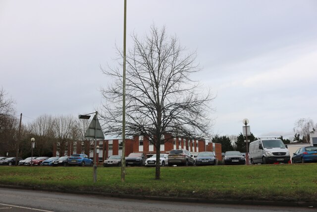
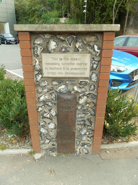
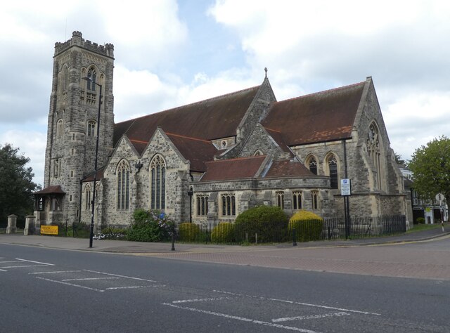
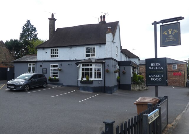
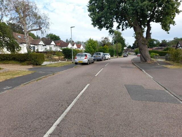
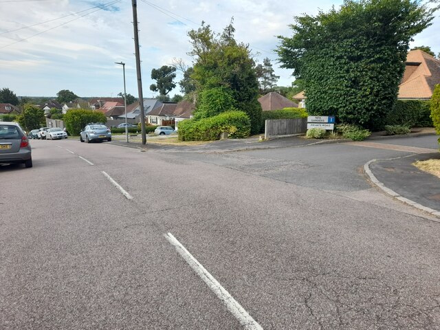
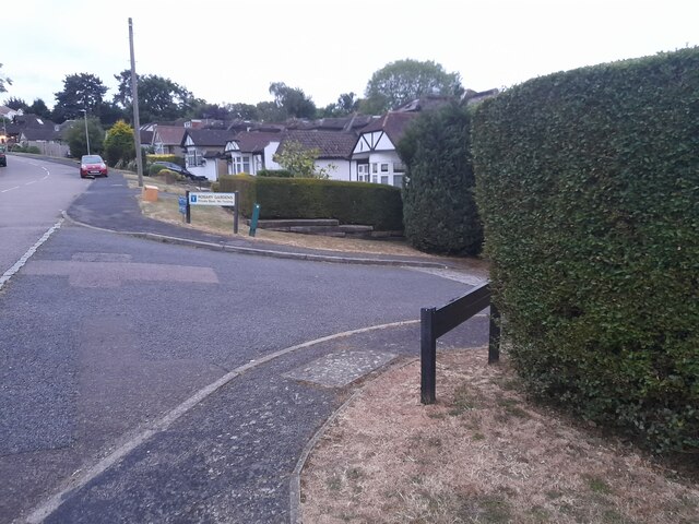
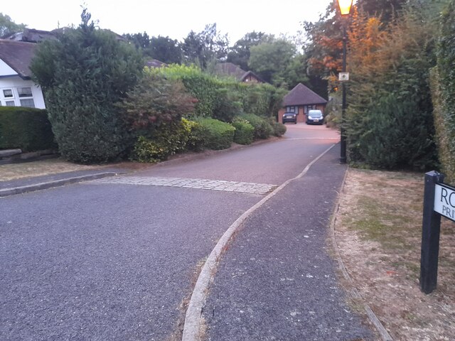
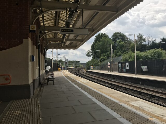
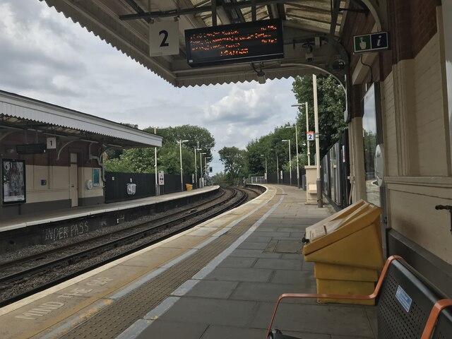
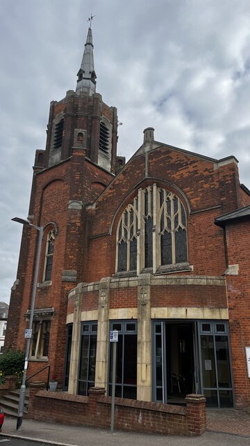
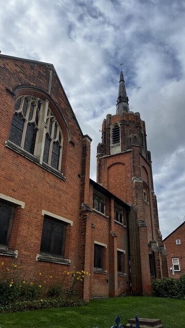
Upper Haydon Hill Images

Images are sourced within 2km of 51.644784/-0.36429706 or Grid Reference TQ1395. Thanks to Geograph Open Source API. All images are credited.

The Mercure Hotel, Watford
Old Boundary Marker on the A411 Lower High Street, Watford Turnpike Terminus Marker on the northeast side of the A411 Lower High Street in Watford. In raised lettering SPARROWS / HERNE / TRUST. See <span class="nowrap"><a title="https://en.wikipedia.org/wiki/Sparrows_Herne_Turnpike_Road" rel="nofollow ugc noopener" href="https://en.wikipedia.org/wiki/Sparrows_Herne_Turnpike_Road">Link</a><img style="margin-left:2px;" alt="External link" title="External link - shift click to open in new window" src="https://s1.geograph.org.uk/img/external.png" width="10" height="10"/></span>. Grade II Listed details <span class="nowrap"><a title="https://historicengland.org.uk/listing/the-list/list-entry/1250997" rel="nofollow ugc noopener" href="https://historicengland.org.uk/listing/the-list/list-entry/1250997">Link</a><img style="margin-left:2px;" alt="External link" title="External link - shift click to open in new window" src="https://s1.geograph.org.uk/img/external.png" width="10" height="10"/></span>. See also <a title="https://www.geograph.org.uk/photo/4803063" href="https://www.geograph.org.uk/photo/4803063">Link</a>.

Milestone Society National ID: HE_WFSHt
Old Boundary Marker on the A411 Lower High Street, Watford
Turnpike Terminus Marker on the northeast side of the A411 Lower High Street in Watford. In raised lettering SPARROWS / HERNE / TRUST. See LinkExternal link. Grade II Listed details LinkExternal link. See also Link. Milestone Society National ID: HE_WFSHt
Parade of shops on High Road, Bushey Heath
Shops on High Road
Shops on High Road
Church of St Peter, Bushey Heath
The Three Crowns
The Three Crowns
Caldecote Gardens, Bushey
Rosary Gardens, Bushey
C. Loveday & Son bakery, Villers Road, Oxhey, Watford
Bushey railway station, Pinner Road
Bushey and Oxhey Methodist Church, Chalk Hill
Bushey & Oxhey Methodist Church, Chalk Hill
Bushey Baptist Church, Chalk Hill
Chapel, St Margaret's School, Merry Hill Road
Watford Pump House Theatre, Local Board Road
Show me another place!

Upper Haydon Hill is located at Grid Ref: TQ1395 (Lat: 51.644784, Lng: -0.36429706)

Administrative County: Hertfordshire

District: Hertsmere

Police Authority: Hertfordshire

What 3 Words

///chats.fully.unit. Near Bushey, Hertfordshire

Related Wikis

Bushey Museum & Art Gallery

Bushey Museum is in Bushey, Hertfordshire. It was officially opened as a volunteer-run museum in October 1993, having achieved Full Registration with the...
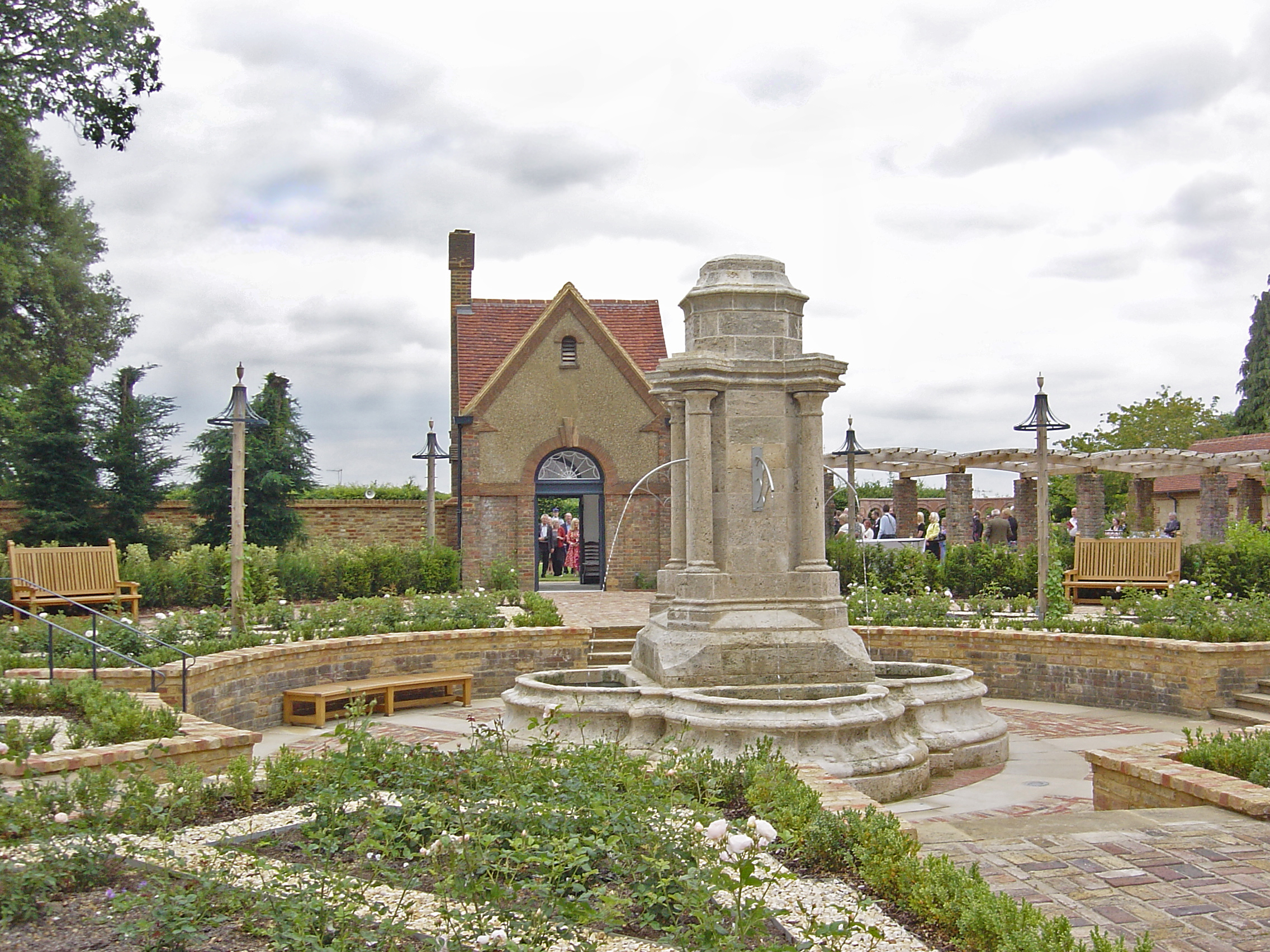
Bushey Rose Garden

Bushey Rose Garden is a rose garden in Bushey, Hertfordshire, England. == History == It was created in 1913 by the noted garden designer Thomas Hayton...
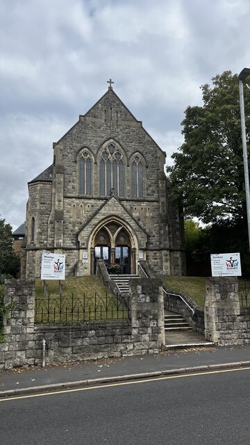
Bushey

Bushey is a town in the Hertsmere borough of Hertfordshire in the East of England. It had a population of 25,328 in the 2011 census, rising to 28,416 in...

Falconer School

Falconer School is a secondary school catering to students with special needs (primarily learning disabilities or those diagnosed with social, emotional...

Bushey Studios

Bushey Studios was a British film studio located in Melbourne Road, Bushey, Hertfordshire which operated between 1913 and 1985. The studios were built...
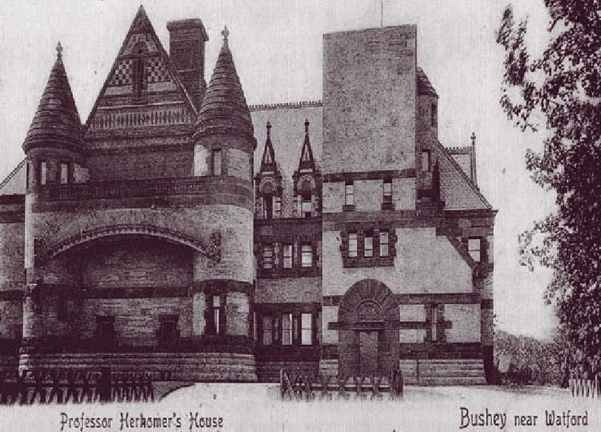
Lululaund

Lululaund was the Romanesque Revival-style house and studio of the Bavarian-born British artist Hubert von Herkomer, in Melbourne Road, Bushey, Hertfordshire...

The Grange Academy, Bushey

The Grange Academy is a co-educational secondary school and sixth form located in Bushey in the English county of Hertfordshire. == History == The school...

St Margaret's School, Bushey

St Margaret's School is an independent co-educational boarding and day school for pupils aged 2–18 in Bushey, Hertfordshire. As well as day places, the...

Nearby Amenities

Located within 500m of 51.644784,-0.36429706
Bushey
Place: suburb
Wikidata: Q10996
Wikipedia: en:Bushey
Lat/Long: 51.6441535/-0.3622403
Mini Roundabout
Lat/Long: 51.6483082/-0.3661252
Traffic Calming: table
Lat/Long: 51.6472189/-0.3644619
Mini Roundabout
Direction: clockwise
Lat/Long: 51.6444458/-0.3580154
Traffic Calming: island
Lat/Long: 51.6443922/-0.3571767
Traffic Calming: island
Lat/Long: 51.648625/-0.3662365
Crossing
Crossing: unmarked
Crossing Island: yes
Lat/Long: 51.6444938/-0.3581657
Turning Circle
Lat/Long: 51.6434682/-0.3581198
Bushey Museum
Tourism: museum
Website: https://busheymuseum.org
Wikidata: Q5001498
Lat/Long: 51.6455641/-0.3651725
Fire Station
Lat/Long: 51.6454513/-0.3652759
Bus Stop
The Red Lion Public House
Bus: yes
Naptan AtcoCode: 210021005000
Naptan Bearing: W
Naptan CommonName: Red Lion PH
Naptan Crossing: Kemp Place
Naptan Indicator: opp
Naptan Landmark: Kemp Place
Naptan NaptanCode: hrtgmwmj
Naptan PlusbusZoneRef: WATFDJ
Naptan ShortCommonName: NA
Naptan Street: High Street
Naptan Verified: no
Public Transport: platform
Shelter: yes
Source: naptan_import
Lat/Long: 51.6448938/-0.3666137
Bus Stop
Grange Academy
Bus: yes
Naptan AtcoCode: 210021006010
Naptan Bearing: E
Naptan CommonName: Hall School
Naptan Crossing: Falconer Road
Naptan Indicator: o/s
Naptan Landmark: Falconer Road
Naptan NaptanCode: hrtgmtpd
Naptan PlusbusZoneRef: WATFDJ
Naptan ShortCommonName: NA
Naptan Street: London Road
Naptan Verified: no
Public Transport: platform
Ref: 50252
Shelter: yes
Source: naptan_import
Lat/Long: 51.6454965/-0.3694358
Bus Stop
The Red Lion Public House
Bus: yes
Naptan AtcoCode: 210021006020
Naptan Bearing: E
Naptan CommonName: Red Lion PH
Naptan Crossing: Falconer Road
Naptan Indicator: nr
Naptan Landmark: Falconer Road
Naptan NaptanCode: hrtgmtpg
Naptan PlusbusZoneRef: WATFDJ
Naptan ShortCommonName: NA
Naptan Street: High Street
Naptan Verified: no
Public Transport: platform
Shelter: yes
Source: naptan_import
Lat/Long: 51.6451494/-0.3674665
Bus Stop
Bournehall Road
Bus: yes
Naptan AtcoCode: 210021006030
Naptan Bearing: E
Naptan CommonName: Bournehall Road
Naptan Crossing: Koh-I-Noor Avenue
Naptan Indicator: nr
Naptan Landmark: Koh-I-Noor Avenue
Naptan NaptanCode: hrtgmtpj
Naptan PlusbusZoneRef: WATFDJ
Naptan ShortCommonName: NA
Naptan Street: High Street
Naptan Verified: no
Public Transport: platform
Shelter: no
Source: naptan_import
Lat/Long: 51.6444686/-0.3633475
Bus Stop
Melbourne Road
Naptan AtcoCode: 210021007920
Naptan Bearing: NW
Naptan CommonName: Melbourne Road
Naptan Crossing: Golf and Squash Club
Naptan Indicator: opp
Naptan Landmark: Golf and Squash Club
Naptan NaptanCode: hrtgmjmp
Naptan PlusbusZoneRef: WATFDJ
Naptan ShortCommonName: NA
Naptan Street: High Street
Naptan Verified: no
Public Transport: platform
Source: naptan_import
Lat/Long: 51.6432443/-0.3607773
Bus Stop
Bournehall Road
Naptan AtcoCode: 210021007930
Naptan Bearing: W
Naptan CommonName: Bournehall Road
Naptan Indicator: opp
Naptan Landmark: Unknown
Naptan NaptanCode: hrtgmjmt
Naptan PlusbusZoneRef: WATFDJ
Naptan ShortCommonName: NA
Naptan Street: High Street
Naptan Verified: no
Public Transport: platform
Source: naptan_import
Lat/Long: 51.6441976/-0.3626008
Bus Stop
Melbourne Road
Naptan AtcoCode: 210021008000
Naptan Bearing: SE
Naptan CommonName: Melbourne Road
Naptan Crossing: Golf and Squash Club
Naptan Indicator: nr
Naptan Landmark: Golf and Squash Club
Naptan NaptanCode: hrtgmjmw
Naptan PlusbusZoneRef: WATFDJ
Naptan ShortCommonName: NA
Naptan Street: High Street
Naptan Verified: no
Public Transport: platform
Source: naptan_import
Lat/Long: 51.6424732/-0.3598198
Bus Stop
Herkomer Road
Bus: yes
Naptan AtcoCode: 210021008280
Naptan Bearing: S
Naptan CommonName: Herkomer Road
Naptan Indicator: S-bound
Naptan Landmark: Unknown
Naptan NaptanCode: hrtgmgta
Naptan PlusbusZoneRef: WATFDJ
Naptan ShortCommonName: NA
Naptan Street: Bournehall Avenue
Naptan Verified: no
Public Transport: platform
Shelter: yes
Source: naptan_import
Lat/Long: 51.6476017/-0.3640586
Bus Stop
Herkomer Road
Bus: yes
Naptan AtcoCode: 210021008440
Naptan Bearing: N
Naptan CommonName: Herkomer Road
Naptan Indicator: N-bound
Naptan Landmark: Unknown
Naptan NaptanCode: hrtgmgjp
Naptan PlusbusZoneRef: WATFDJ
Naptan ShortCommonName: NA
Naptan Street: Bournehall Avenue
Naptan Verified: no
Public Transport: platform
Source: naptan_import
Lat/Long: 51.6481047/-0.3638334
Bus Stop
Bushey Academy
Naptan AtcoCode: 210021085020
Naptan Bearing: E
Naptan BusStopType: CUS
Naptan CommonName: Bushey Hall School
Naptan Indicator: o/s
Naptan Landmark: Unknown
Naptan NaptanCode: hrtgmdtd
Naptan PlusbusZoneRef: WATFDJ
Naptan ShortCommonName: NA
Naptan Street: High Street
Naptan Verified: no
Public Transport: platform
Source: naptan_import
Lat/Long: 51.6460987/-0.3693917
Turning Circle
Lat/Long: 51.6445971/-0.3598043
Post Office
Bushey Post Office
Addr City: Bushey
Addr Postcode: WD23 3HD
Addr Street: High Street
Branch: Bushey
Brand: Post Office
Brand Wikidata: Q1783168
Check Date: 2020-02-20
Contact Website: https://www.postoffice.co.uk/branch-finder/0580333/bushey-high-street
Ref Pol Id: 18090
Lat/Long: 51.6447595/-0.3652744
Recycling
Recycling Type: container
Lat/Long: 51.6440008/-0.3657527
Traffic Calming: island
Lat/Long: 51.6423533/-0.3598131
Crossing
Crossing: unmarked
Crossing Island: yes
Lat/Long: 51.644517/-0.3579538
Lululaund
Historic: ruins
Wikidata: Q588646
Wikipedia: en:Lululaund
Lat/Long: 51.6441011/-0.3590786
Atm
Lat/Long: 51.6451738/-0.3674352
Spar
Brand: Spar
Brand Wikidata: Q610492
Brand Wikipedia: en:Spar (retailer)
Shop: convenience
Website: https://www.spar.co.uk/store-locator/afb57028-spar-bushey/
Lat/Long: 51.6447124/-0.3649015
Turning Circle
Lat/Long: 51.6424235/-0.3594982
Pub
The King Stag
Addr City: Bushey
Addr Housename: The King Stagg
Addr Housenumber: 15
Addr Postcode: WD23 3EH
Addr Street: Bournehall Road
Opening Hours: Mo-Th 12:00-23:00; Fr,Sa 12:00-24:00; Su 12:00-22:30
Opening Hours Kitchen: Mo-Fr 12:00-14:30,18:00-21:00; Sa-Su 12:00-15:00,18:00-21:00; Dec 25-26 12:00-14:30,18:00-21:00 "subject to change"
Lat/Long: 51.6454823/-0.3630005
Crossing
Crossing: traffic_signals
Lat/Long: 51.6427352/-0.3602062
Pub
The Swan
Addr City: Bushey
Addr Housenumber: 25
Addr Postcode: WD23 3EE
Addr Street: Park Road
Brewery: yes
Check Date: 2019-07-25
Contact Facebook: https://www.facebook.com/TheSwanBushey/
Opening Hours: Mo-Sa 12:00-23:00; Su 12:00-22:30
Smoking: outside
Lat/Long: 51.6454739/-0.3642928
Barrier: height_restrictor
Lat/Long: 51.6424327/-0.3601369
Crossing
Crossing: marked
Crossing Markings: surface
Lat/Long: 51.6438381/-0.3627034
Crossing
Crossing: marked
Crossing Markings: surface
Lat/Long: 51.6436117/-0.3631785
Traffic Calming: cushion
Lat/Long: 51.6481338/-0.3659224
Direction: 75
Generator Method: photovoltaic
Generator Output Electricity: yes
Generator Solar Modules: 16
Generator Source: solar
Generator Type: solar_photovoltaic_panel
Location: roof
Power: generator
Lat/Long: 51.6482898/-0.3657738
Direction: 200
Generator Method: photovoltaic
Generator Output Electricity: yes
Generator Solar Modules: 8
Generator Source: solar
Generator Type: solar_photovoltaic_panel
Location: roof
Power: generator
Lat/Long: 51.6486542/-0.3631671
Traffic Calming: cushion
Lat/Long: 51.6474093/-0.3649348
Traffic Calming: hump
Lat/Long: 51.6477979/-0.3655319
Direction: 120
Generator Method: photovoltaic
Generator Output Electricity: yes
Generator Solar Modules: 14
Generator Source: solar
Generator Type: solar_photovoltaic_panel
Location: roof
Power: generator
Lat/Long: 51.6477828/-0.3670297
Direction: 120
Generator Method: photovoltaic
Generator Output Electricity: yes
Generator Solar Modules: 16
Generator Source: solar
Generator Type: solar_photovoltaic_panel
Location: roof
Power: generator
Lat/Long: 51.6476482/-0.3672391
Direction: 120
Generator Method: photovoltaic
Generator Output Electricity: yes
Generator Solar Modules: 16
Generator Source: solar
Generator Type: solar_photovoltaic_panel
Location: roof
Power: generator
Lat/Long: 51.6474904/-0.367388
Traffic Calming: table
Lat/Long: 51.6466085/-0.3677174
Traffic Calming: table
Lat/Long: 51.6459453/-0.3682643
Crossing
Crossing: unmarked
Lat/Long: 51.6453713/-0.3687149
Grange Academy
Bus: yes
Public Transport: stop_position
Lat/Long: 51.6454493/-0.3694549
Crossing
Crossing: unmarked
Lat/Long: 51.6453484/-0.3689872
Crossing
Crossing: unmarked
Crossing Island: yes
Tactile Paving: yes
Traffic Calming: island
Lat/Long: 51.6451156/-0.3676986
Crossing
Crossing: marked
Lat/Long: 51.6456877/-0.3709204
Give Way
Direction: forward
Lat/Long: 51.6448885/-0.3661254
Crossing
Crossing: traffic_signals
Lat/Long: 51.6447825/-0.3657818
Traffic Calming: table
Lat/Long: 51.6461735/-0.3625461
Direction: 210
Generator Method: photovoltaic
Generator Output Electricity: yes
Generator Solar Modules: 10
Generator Source: solar
Generator Type: solar_photovoltaic_panel
Location: roof
Power: generator
Lat/Long: 51.6454772/-0.3615754
Direction: 220
Generator Method: photovoltaic
Generator Output Electricity: yes
Generator Solar Modules: 5
Generator Source: solar
Generator Type: solar_photovoltaic_panel
Location: roof
Power: generator
Lat/Long: 51.6471198/-0.3635386
Direction: 135
Generator Method: photovoltaic
Generator Output Electricity: yes
Generator Solar Modules: 10
Generator Source: solar
Generator Type: solar_photovoltaic_panel
Location: roof
Power: generator
Lat/Long: 51.6465852/-0.3605124
Crossing
Crossing: unmarked
Crossing Island: yes
Tactile Paving: no
Lat/Long: 51.6464945/-0.3582238
Traffic Calming: table
Lat/Long: 51.6450259/-0.359856
Traffic Calming: table
Lat/Long: 51.6447948/-0.3591535
Traffic Calming: table
Lat/Long: 51.6445701/-0.3584612
Traffic Calming: island
Lat/Long: 51.6443633/-0.3577427
Direction: 265
Generator Method: photovoltaic
Generator Output Electricity: yes
Generator Solar Modules: 8
Generator Source: solar
Generator Type: solar_photovoltaic_panel
Location: roof
Power: generator
Lat/Long: 51.644507/-0.3703404
Direction: 85
Generator Method: photovoltaic
Generator Output Electricity: yes
Generator Solar Modules: 9
Generator Source: solar
Generator Type: solar_photovoltaic_panel
Location: roof
Power: generator
Lat/Long: 51.644507/-0.3702583
Crossing
Crossing: marked
Crossing Markings: surface
Tactile Paving: yes
Lat/Long: 51.6442545/-0.3624295
Crossing
Crossing: marked
Crossing Markings: surface
Tactile Paving: yes
Lat/Long: 51.6445302/-0.3636576
Crossing
Crossing: marked
Crossing Island: no
Crossing Markings: surface
Tactile Paving: yes
Lat/Long: 51.6446484/-0.3646638
Give Way
Direction: backward
Lat/Long: 51.6453298/-0.3687429
Bench
Lat/Long: 51.6448905/-0.3677555
Bench
Lat/Long: 51.6448829/-0.367805
Bench
Lat/Long: 51.6448748/-0.3678549
Waste Basket
Lat/Long: 51.6448875/-0.3677785
Waste Basket
Lat/Long: 51.6448784/-0.3678276
Crossing
Crossing: unmarked
Lat/Long: 51.6450304/-0.3674257
Crossing
Crossing: unmarked
Lat/Long: 51.6451083/-0.3680669
Give Way
Direction: forward
Lat/Long: 51.6448418/-0.3663374
Cafe
Name En: Duran's
Lat/Long: 51.6446018/-0.3639071
Restaurant
Name En: Barracuda
Lat/Long: 51.6447756/-0.3657197
Crossing
Crossing: unmarked
Crossing Island: no
Lat/Long: 51.6443692/-0.3580813
Crossing
Crossing: unmarked
Crossing Island: no
Lat/Long: 51.6443814/-0.3578135
Give Way
Direction: backward
Lat/Long: 51.646497/-0.3581642
Give Way
Direction: forward
Lat/Long: 51.6466738/-0.3591074
Give Way
Direction: backward
Lat/Long: 51.6472427/-0.3644285
Give Way
Direction: backward
Lat/Long: 51.6491547/-0.3626771
Traffic Calming: bump
Lat/Long: 51.6479661/-0.3598767
Give Way
Direction: forward
Lat/Long: 51.647679/-0.3604814
Give Way
Direction: forward
Lat/Long: 51.6482918/-0.3614047
Give Way
Direction: backward
Lat/Long: 51.646817/-0.3636212
Traffic Calming: table
Lat/Long: 51.6469055/-0.3638538
Give Way
Lat/Long: 51.6465936/-0.3633265
Give Way
Direction: backward
Lat/Long: 51.6463399/-0.3626505
Traffic Calming: table
Lat/Long: 51.6457357/-0.3619232
Direction: forward
Traffic Calming: table
Lat/Long: 51.6453417/-0.3607966
Direction: backward
Traffic Calming: table
Lat/Long: 51.645229/-0.3604661
Give Way
Direction: backward
Lat/Long: 51.6454696/-0.3605161
Give Way
Direction: forward
Lat/Long: 51.6453213/-0.3606189
Give Way
Lat/Long: 51.6454855/-0.3613288
Give Way
Direction: forward
Lat/Long: 51.6443079/-0.3574181
Give Way
Direction: forward
Lat/Long: 51.6455277/-0.3579147
Give Way
Direction: backward
Lat/Long: 51.6455245/-0.3580441
Turning Circle
Lat/Long: 51.6441676/-0.361201
Give Way
Lat/Long: 51.6454342/-0.3655372
Turning Circle
Lat/Long: 51.6424592/-0.3589838
Turning Circle
Lat/Long: 51.6458788/-0.3673227
Give Way
Direction: backward
Lat/Long: 51.647949/-0.3656862
Give Way
Lat/Long: 51.6475318/-0.3652216
Crossing
Crossing: marked
Crossing Island: no
Crossing Markings: surface
Tactile Paving: yes
Lat/Long: 51.6448231/-0.3663454
Crossing
Crossing: marked
Crossing Markings: surface
Tactile Paving: yes
Lat/Long: 51.6439696/-0.3613753
Crossing
Crossing: marked
Crossing Markings: surface
Tactile Paving: yes
Lat/Long: 51.6424683/-0.3600543
Crossing
Crossing: marked
Crossing Markings: surface
Lat/Long: 51.6438363/-0.3625437
Crossing
Crossing: marked
Crossing Markings: surface
Lat/Long: 51.6437805/-0.3623043
Crossing
Crossing: marked
Crossing Markings: surface
Lat/Long: 51.6437276/-0.3620775
Crossing
Crossing: marked
Crossing Markings: surface
Lat/Long: 51.6436932/-0.3619296
Crossing
Crossing: marked
Crossing Markings: surface
Lat/Long: 51.6436446/-0.3618711
Parking
Access: private
Parking: underground
Lat/Long: 51.6448351/-0.36379
Crossing
Crossing: marked
Crossing Island: no
Crossing Markings: surface
Tactile Paving: yes
Lat/Long: 51.6449082/-0.3661075
Give Way
Direction: backward
Lat/Long: 51.6446254/-0.364671
Give Way
Lat/Long: 51.6445115/-0.3636688
Crossing
Crossing: marked
Crossing Island: no
Crossing Markings: surface
Tactile Paving: yes
Lat/Long: 51.6430119/-0.3603666
Noexit: yes
Lat/Long: 51.6418898/-0.3588782
Crossing
Crossing Island: no
Tactile Paving: yes
Lat/Long: 51.6422032/-0.359467
Give Way
Direction: forward
Lat/Long: 51.6421869/-0.3594976
Give Way
Direction: backward
Lat/Long: 51.6436625/-0.3574585
Crossing
Crossing: unmarked
Crossing Island: no
Tactile Paving: yes
Lat/Long: 51.645569/-0.3705767
Crossing
Crossing: marked
Crossing Island: no
Crossing Markings: surface
Tactile Paving: yes
Lat/Long: 51.6457075/-0.3704165
Give Way
Direction: backward
Lat/Long: 51.6418786/-0.3694709
Give Way
Direction: forward
Lat/Long: 51.6456743/-0.3704266
Give Way
Direction: backward
Lat/Long: 51.6455951/-0.3705718
The data included in this document is from www.openstreetmap.org. The data is made available under ODbL.

Have you been to Upper Haydon Hill?

Leave your review of Upper Haydon Hill below (or comments, questions and feedback).