Beacon Hill

Hill, Mountain in Lincolnshire North Kesteven

England

Beacon Hill

A17 lay-by
A17 lay-by Credit: Alex McGregor

Beacon Hill is a prominent landmark located in the county of Lincolnshire, England. Rising to a height of approximately 168 meters (551 feet) above sea level, it is considered the highest point in the county. Situated near the village of Grantham, Beacon Hill is part of a range of hills known as the Lincolnshire Wolds, which stretch across the eastern part of the county.

The hill itself is predominantly formed from chalk, giving it a distinctive white appearance. The summit offers breathtaking panoramic views of the surrounding countryside, including the gently rolling hills and picturesque villages that dot the landscape. On clear days, it is possible to see as far as the Lincoln Cathedral, which lies approximately 40 kilometers (25 miles) to the north.

Beacon Hill takes its name from the beacon that once stood atop its summit. Historically, these beacons were used as a means of communication, relaying important messages across long distances. During times of war or national crisis, the beacon would be lit to warn of impending danger or to signal victory. Although the original beacon no longer exists, a monument has been erected in its place, serving as a reminder of its historical significance.

Today, Beacon Hill is a popular destination for outdoor enthusiasts and nature lovers alike. The area surrounding the hill is designated as a Site of Special Scientific Interest (SSSI), due to its diverse range of flora and fauna. Visitors can explore the surrounding countryside through a network of footpaths and bridleways, offering opportunities for hiking, cycling, and horseback riding.

If you have any feedback on the listing, please let us know in the comments section below.
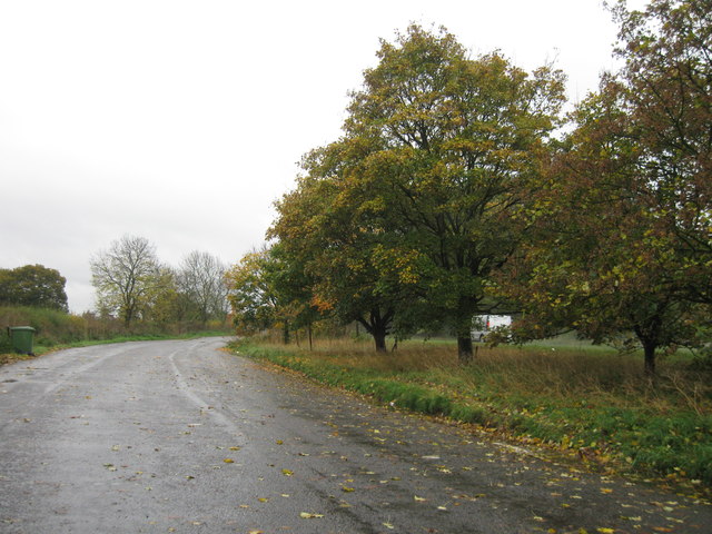
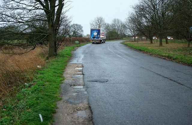
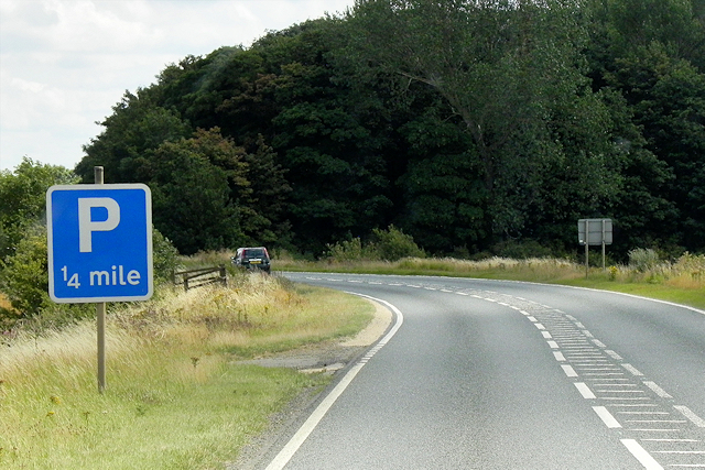
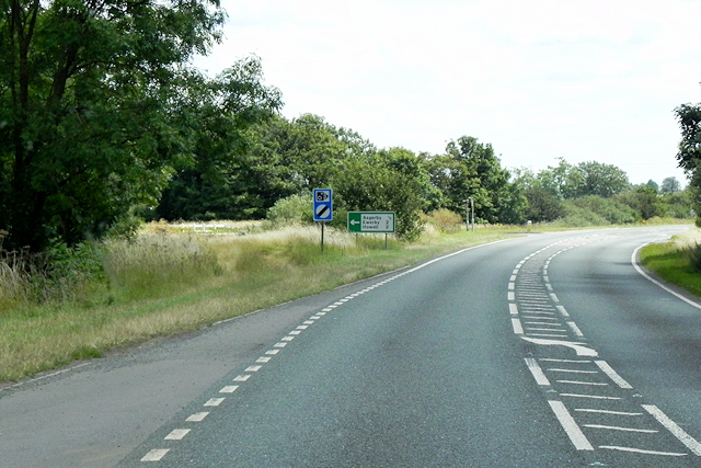
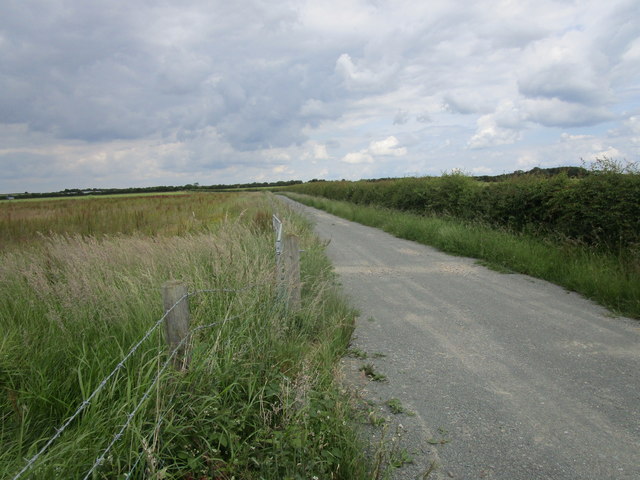
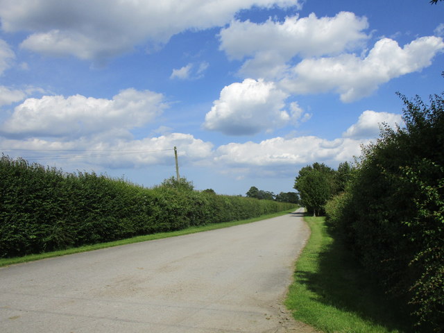
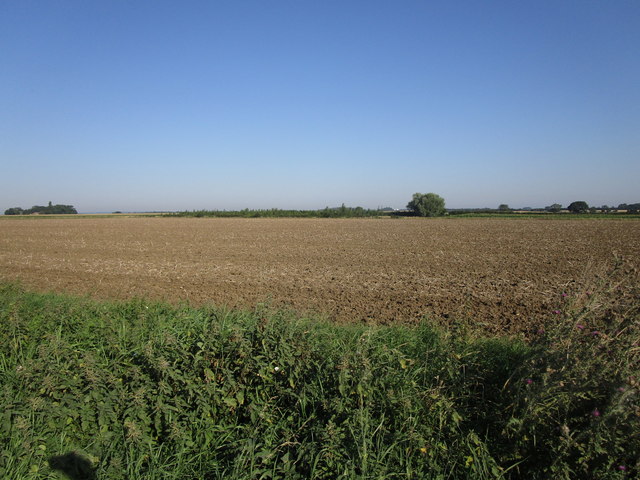
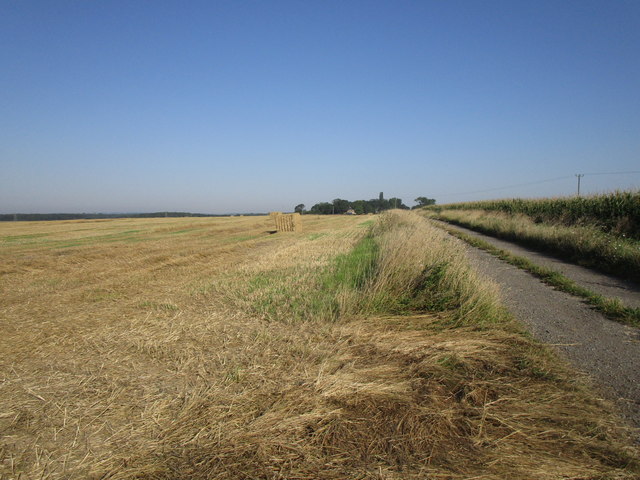
Beacon Hill Images

Images are sourced within 2km of 52.978921/-0.36202525 or Grid Reference TF1043. Thanks to Geograph Open Source API. All images are credited.

A17 lay-by
A17 lay-by
Lay-by, Asgarby You can get some idea of the gloom from the headlights on passing vehicles. It's raining fairly steadily. This is the spot from which <a href="https://www.geograph.org.uk/photo/4792202">TF1145 : Towards the church at Asgarby</a> was taken.
Lay-by, Asgarby
You can get some idea of the gloom from the headlights on passing vehicles. It's raining fairly steadily. This is the spot from which TF1145 : Towards the church at Asgarby was taken.
The A17, East of Kirkby la Thorpe The A17 is the major route for HGV's accessing Norfolk from Northern England and the Midlands and also a major holiday route in the summer months for cars and caravans making their way to the seaside resorts of Hunstanton, Wells-next-the-Sea, Sheringham, Cromer and Great Yarmouth and is one of only two direct routes that links Norfolk with the A1, the other being the A47. It runs for almost 60 miles from Winthorpe, near Newark-on-Trent to King's Lynn across the flat landscape of the Lincolnshire fens with only four stretches of dual carriageway. 
<span class="nowrap"><a title="http://www.sabre-roads.org.uk/wiki/index.php?title=A17" rel="nofollow ugc noopener" href="http://www.sabre-roads.org.uk/wiki/index.php?title=A17">Link</a><img style="margin-left:2px;" alt="External link" title="External link - shift click to open in new window" src="https://s1.geograph.org.uk/img/external.png" width="10" height="10"/></span>  SABRE
<span class="nowrap"><a title="https://en.wikipedia.org/wiki/A17_road_(England)" rel="nofollow ugc noopener" href="https://en.wikipedia.org/wiki/A17_road_(England)">Link</a><img style="margin-left:2px;" alt="External link" title="External link - shift click to open in new window" src="https://s1.geograph.org.uk/img/external.png" width="10" height="10"/></span>  Wikipedia
The A17, East of Kirkby la Thorpe
The A17 is the major route for HGV's accessing Norfolk from Northern England and the Midlands and also a major holiday route in the summer months for cars and caravans making their way to the seaside resorts of Hunstanton, Wells-next-the-Sea, Sheringham, Cromer and Great Yarmouth and is one of only two direct routes that links Norfolk with the A1, the other being the A47. It runs for almost 60 miles from Winthorpe, near Newark-on-Trent to King's Lynn across the flat landscape of the Lincolnshire fens with only four stretches of dual carriageway. LinkExternal link SABRE LinkExternal link Wikipedia
Eastbound A17 The A17 is the major route for HGV's accessing Norfolk from Northern England and the Midlands and also a major holiday route in the summer months for cars and caravans making their way to the seaside resorts of Hunstanton, Wells-next-the-Sea, Sheringham, Cromer and Great Yarmouth and is one of only two direct routes that links Norfolk with the A1, the other being the A47. It runs for almost 60 miles from Winthorpe, near Newark-on-Trent to King's Lynn across the flat landscape of the Lincolnshire fens with only four stretches of dual carriageway. 
<span class="nowrap"><a title="http://www.sabre-roads.org.uk/wiki/index.php?title=A17" rel="nofollow ugc noopener" href="http://www.sabre-roads.org.uk/wiki/index.php?title=A17">Link</a><img style="margin-left:2px;" alt="External link" title="External link - shift click to open in new window" src="https://s1.geograph.org.uk/img/external.png" width="10" height="10"/></span>  SABRE
<span class="nowrap"><a title="https://en.wikipedia.org/wiki/A17_road_(England)" rel="nofollow ugc noopener" href="https://en.wikipedia.org/wiki/A17_road_(England)">Link</a><img style="margin-left:2px;" alt="External link" title="External link - shift click to open in new window" src="https://s1.geograph.org.uk/img/external.png" width="10" height="10"/></span>  Wikipedia
Eastbound A17
The A17 is the major route for HGV's accessing Norfolk from Northern England and the Midlands and also a major holiday route in the summer months for cars and caravans making their way to the seaside resorts of Hunstanton, Wells-next-the-Sea, Sheringham, Cromer and Great Yarmouth and is one of only two direct routes that links Norfolk with the A1, the other being the A47. It runs for almost 60 miles from Winthorpe, near Newark-on-Trent to King's Lynn across the flat landscape of the Lincolnshire fens with only four stretches of dual carriageway. LinkExternal link SABRE LinkExternal link Wikipedia
A17 near to Asgarby The A17 is the major route for HGV's accessing Norfolk from Northern England and the Midlands and also a major holiday route in the summer months for cars and caravans making their way to the seaside resorts of Hunstanton, Wells-next-the-Sea, Sheringham, Cromer and Great Yarmouth and is one of only two direct routes that links Norfolk with the A1, the other being the A47. It runs for almost 60 miles from Winthorpe, near Newark-on-Trent to King's Lynn across the flat landscape of the Lincolnshire fens with only four stretches of dual carriageway. 
<span class="nowrap"><a title="http://www.sabre-roads.org.uk/wiki/index.php?title=A17" rel="nofollow ugc noopener" href="http://www.sabre-roads.org.uk/wiki/index.php?title=A17">Link</a><img style="margin-left:2px;" alt="External link" title="External link - shift click to open in new window" src="https://s1.geograph.org.uk/img/external.png" width="10" height="10"/></span>  SABRE
<span class="nowrap"><a title="https://en.wikipedia.org/wiki/A17_road_(England)" rel="nofollow ugc noopener" href="https://en.wikipedia.org/wiki/A17_road_(England)">Link</a><img style="margin-left:2px;" alt="External link" title="External link - shift click to open in new window" src="https://s1.geograph.org.uk/img/external.png" width="10" height="10"/></span>  Wikipedia
A17 near to Asgarby
The A17 is the major route for HGV's accessing Norfolk from Northern England and the Midlands and also a major holiday route in the summer months for cars and caravans making their way to the seaside resorts of Hunstanton, Wells-next-the-Sea, Sheringham, Cromer and Great Yarmouth and is one of only two direct routes that links Norfolk with the A1, the other being the A47. It runs for almost 60 miles from Winthorpe, near Newark-on-Trent to King's Lynn across the flat landscape of the Lincolnshire fens with only four stretches of dual carriageway. LinkExternal link SABRE LinkExternal link Wikipedia
Eastbound A17 approaching Turnoff for Asgarby The A17 is the major route for HGV's accessing Norfolk from Northern England and the Midlands and also a major holiday route in the summer months for cars and caravans making their way to the seaside resorts of Hunstanton, Wells-next-the-Sea, Sheringham, Cromer and Great Yarmouth and is one of only two direct routes that links Norfolk with the A1, the other being the A47. It runs for almost 60 miles from Winthorpe, near Newark-on-Trent to King's Lynn across the flat landscape of the Lincolnshire fens with only four stretches of dual carriageway. 
<span class="nowrap"><a title="http://www.sabre-roads.org.uk/wiki/index.php?title=A17" rel="nofollow ugc noopener" href="http://www.sabre-roads.org.uk/wiki/index.php?title=A17">Link</a><img style="margin-left:2px;" alt="External link" title="External link - shift click to open in new window" src="https://s1.geograph.org.uk/img/external.png" width="10" height="10"/></span>  SABRE
<span class="nowrap"><a title="https://en.wikipedia.org/wiki/A17_road_(England)" rel="nofollow ugc noopener" href="https://en.wikipedia.org/wiki/A17_road_(England)">Link</a><img style="margin-left:2px;" alt="External link" title="External link - shift click to open in new window" src="https://s1.geograph.org.uk/img/external.png" width="10" height="10"/></span>  Wikipedia
Eastbound A17 approaching Turnoff for Asgarby
The A17 is the major route for HGV's accessing Norfolk from Northern England and the Midlands and also a major holiday route in the summer months for cars and caravans making their way to the seaside resorts of Hunstanton, Wells-next-the-Sea, Sheringham, Cromer and Great Yarmouth and is one of only two direct routes that links Norfolk with the A1, the other being the A47. It runs for almost 60 miles from Winthorpe, near Newark-on-Trent to King's Lynn across the flat landscape of the Lincolnshire fens with only four stretches of dual carriageway. LinkExternal link SABRE LinkExternal link Wikipedia
Eastbound A17, approaching Turnoff for Burton Pedwardine The A17 is the major route for HGV's accessing Norfolk from Northern England and the Midlands and also a major holiday route in the summer months for cars and caravans making their way to the seaside resorts of Hunstanton, Wells-next-the-Sea, Sheringham, Cromer and Great Yarmouth and is one of only two direct routes that links Norfolk with the A1, the other being the A47. It runs for almost 60 miles from Winthorpe, near Newark-on-Trent to King's Lynn across the flat landscape of the Lincolnshire fens with only four stretches of dual carriageway. 
<span class="nowrap"><a title="http://www.sabre-roads.org.uk/wiki/index.php?title=A17" rel="nofollow ugc noopener" href="http://www.sabre-roads.org.uk/wiki/index.php?title=A17">Link</a><img style="margin-left:2px;" alt="External link" title="External link - shift click to open in new window" src="https://s1.geograph.org.uk/img/external.png" width="10" height="10"/></span>  SABRE
<span class="nowrap"><a title="https://en.wikipedia.org/wiki/A17_road_(England)" rel="nofollow ugc noopener" href="https://en.wikipedia.org/wiki/A17_road_(England)">Link</a><img style="margin-left:2px;" alt="External link" title="External link - shift click to open in new window" src="https://s1.geograph.org.uk/img/external.png" width="10" height="10"/></span>  Wikipedia
Eastbound A17, approaching Turnoff for Burton Pedwardine
The A17 is the major route for HGV's accessing Norfolk from Northern England and the Midlands and also a major holiday route in the summer months for cars and caravans making their way to the seaside resorts of Hunstanton, Wells-next-the-Sea, Sheringham, Cromer and Great Yarmouth and is one of only two direct routes that links Norfolk with the A1, the other being the A47. It runs for almost 60 miles from Winthorpe, near Newark-on-Trent to King's Lynn across the flat landscape of the Lincolnshire fens with only four stretches of dual carriageway. LinkExternal link SABRE LinkExternal link Wikipedia
Flush Bracket OSBM G1478: Asgarby Flush bracket bench mark on a house adjoining the A17.  See <span class="nowrap"><a title="http://www.bench-marks.org.uk/bm16726" rel="nofollow ugc noopener" href="http://www.bench-marks.org.uk/bm16726">Link</a><img style="margin-left:2px;" alt="External link" title="External link - shift click to open in new window" src="https://s1.geograph.org.uk/img/external.png" width="10" height="10"/></span> for details.
Flush Bracket OSBM G1478: Asgarby
Flush bracket bench mark on a house adjoining the A17. See LinkExternal link for details.
A17 at Asgarby turn
A17 at Asgarby turn
Reservoir south of Kirkby la Thorpe: aerial 2018
Footpath to Whitecross Lane A wide uncultivated verge accommodates both the footpath and a wildlife refuge.
Footpath to Whitecross Lane
A wide uncultivated verge accommodates both the footpath and a wildlife refuge.
Access to a solar farm off Whitecross Lane
Access to Lodge Farm Is also a footpath to Heckington.
Access to Lodge Farm
Is also a footpath to Heckington.
Level crossing and the spire of Asgarby church The electricity poles on the right are beginning to lean at a threatening angle.
Level crossing and the spire of Asgarby church
The electricity poles on the right are beginning to lean at a threatening angle.
Track to Sardeson's Farm The embankment on the right is that of a reservoir.
Track to Sardeson's Farm
The embankment on the right is that of a reservoir.
Stubble field off Scredington Road
Bridleway to Hill Top Farm and Whitecross Lane
A17 eastbound
A17 eastbound
Show me another place!

Beacon Hill is located at Grid Ref: TF1043 (Lat: 52.978921, Lng: -0.36202525)

Administrative County: Lincolnshire

District: North Kesteven

Police Authority: Lincolnshire

What 3 Words

///when.kickbacks.corporate. Near Sleaford, Lincolnshire

Nearby Locations

Beacon Hill

Related Wikis

Kirkby la Thorpe

Kirkby la Thorpe is a village and civil parish in North Kesteven district of Lincolnshire, England.The population at the 2011 census was 1,120. It lies...

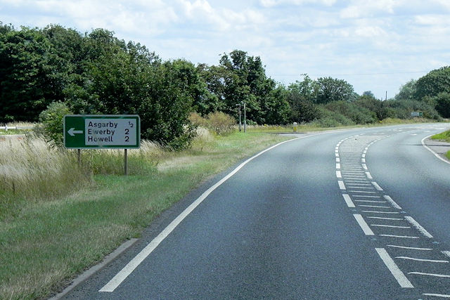
Asgarby, North Kesteven

Asgarby is a village in the civil parish of Asgarby and Howell, in the North Kesteven district of Lincolnshire, England. It is situated on the A17 Boston...
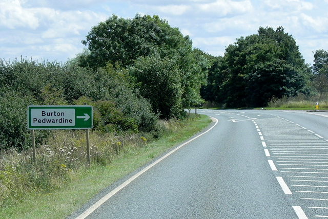
Burton Pedwardine

Burton Pedwardine is a hamlet and civil parish in the district of North Kesteven, Lincolnshire, England. The population at the 2011 census was 187. The...

East Kesteven Rural District

East Kesteven was a rural district in Lincolnshire, Parts of Kesteven from 1931 to 1974. It was formed under a County Review Order, by the merger of most...

Aswarby and Scredington railway station

Aswarby and Scredington railway station was a station close to Scredington, Lincolnshire on the Great Northern Railway Bourne and Sleaford railway. It...

Sleaford Town F.C.

Sleaford Town F.C. is a football club based in Sleaford, Lincolnshire, England. The club plays in the United Counties League Premier Division North....

Bass Maltings, Sleaford

The Bass Maltings in Sleaford, England are a large group of eight disused malt houses originally owned by the Bass Brewery of Burton upon Trent. Constructed...

Boughton, Lincolnshire

Boughton is a hamlet in Lincolnshire, England. It is in the civil parish of Asgarby and Howell. == External links == Media related to Boughton, Lincolnshire...

Nearby Amenities

Located within 500m of 52.978921,-0.36202525
Power: tower
Lat/Long: 52.9757377/-0.3672878
Power: tower
Lat/Long: 52.9801984/-0.3676556
Beacon Hill
Place: locality
Source: Bing
Lat/Long: 52.9795169/-0.3661154
Power: pole
Source: Bing
Lat/Long: 52.9791779/-0.354634
Power: pole
Source: Bing
Lat/Long: 52.979287/-0.3558862
Power: pole
Source: Bing
Lat/Long: 52.9794095/-0.3570367
Power: pole
Source: Bing
Lat/Long: 52.9795358/-0.3582412
Power: pole
Source: Bing
Lat/Long: 52.9796506/-0.3593408
Power: pole
Source: Bing
Lat/Long: 52.9798113/-0.3609394
Power: pole
Source: Bing
Lat/Long: 52.9799606/-0.3625761
Power: pole
Source: Bing
Lat/Long: 52.9801309/-0.3642732
Power: pole
Source: Bing
Lat/Long: 52.9802774/-0.3659152
Power: pole
Source: Bing
Lat/Long: 52.9804362/-0.3675519
Mount Lane Bridge
Place: locality
Source: Bing
Lat/Long: 52.9821894/-0.3632074
Power: tower
Lat/Long: 52.9781353/-0.3674855
The data included in this document is from www.openstreetmap.org. The data is made available under ODbL.

Have you been to Beacon Hill?

Leave your review of Beacon Hill below (or comments, questions and feedback).