Beards Hill

Hill, Mountain in Surrey Elmbridge

England

Beards Hill

Cobham Football Ground
Cobham Football Ground Credit: Alex McGregor

Beards Hill is a prominent natural landmark located in the county of Surrey, England. Situated in the southeastern part of the county, it is a picturesque hill that forms part of the North Downs, a range of chalk hills spanning across Surrey and Kent. Beards Hill is known for its distinctive shape, with a gently sloping terrain that gradually rises to a peak, offering panoramic views of the surrounding countryside.

Covered in lush greenery, Beards Hill is home to a diverse range of plant species, including wildflowers, shrubs, and grasses. The hill's vegetation provides an ideal habitat for various wildlife, such as rabbits, foxes, and numerous bird species, making it a popular spot for nature enthusiasts and birdwatchers.

The hill is accessible via well-maintained footpaths and trails, allowing visitors to explore its natural beauty at their own pace. It is a popular destination for hikers and walkers, offering a range of routes suitable for different fitness levels. At the summit, visitors are rewarded with breathtaking views of the surrounding countryside, including rolling hills, meadows, and nearby villages.

Beards Hill also holds historical significance, with evidence of human activity dating back to ancient times. Archaeological remains from the Iron Age have been discovered in the vicinity, indicating that the hill was inhabited during that period.

Overall, Beards Hill is a picturesque and historically significant natural landmark in Surrey, offering visitors the opportunity to immerse themselves in the beauty of the English countryside while enjoying its rich natural and cultural heritage.

If you have any feedback on the listing, please let us know in the comments section below.
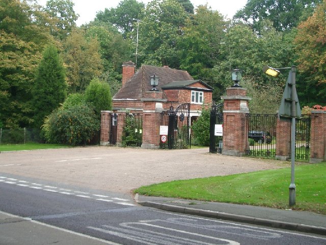
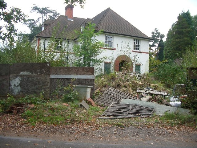
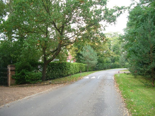
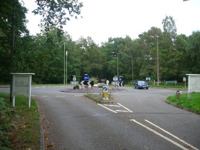
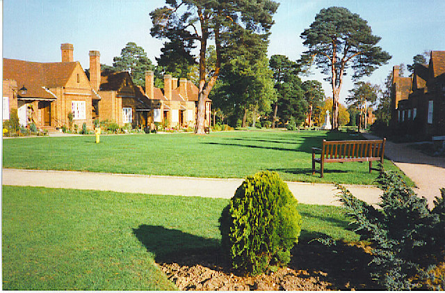
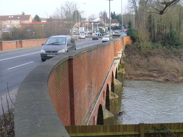
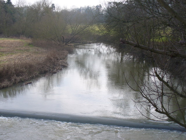
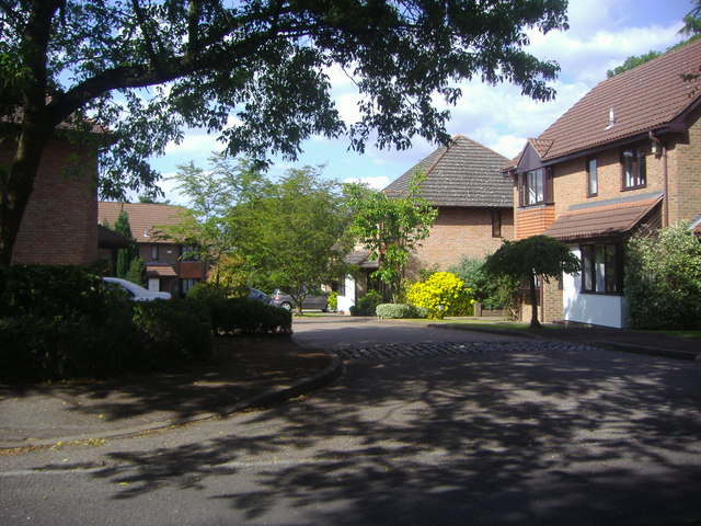
Beards Hill Images

Images are sourced within 2km of 51.345719/-0.42736281 or Grid Reference TQ0961. Thanks to Geograph Open Source API. All images are credited.

Cobham Football Ground
Sliproad on Portsmouth Road, Cobham
Statue in Painshill Park, Cobham Painshill Park is a fascinating place to visit, full of follies and its very own grotto.
Statue in Painshill Park, Cobham
Painshill Park is a fascinating place to visit, full of follies and its very own grotto.
Byfleet Road looking west
Byfleet Road
looking west
Silvermere looking east
Silvermere
looking east
Seven Hills Road Looking north.
Seven Hills Road
Looking north.
Entrance to Whiteley Village from Seven Hills Road Looking north-east.
Entrance to Whiteley Village from Seven Hills Road
Looking north-east.
Woodlawn looking south
Woodlawn
looking south
East Road, St George's Hill, Weybridge looking NNE
East Road, St George's Hill, Weybridge
looking NNE
Roundabout on Seven Hills Road looking ENE
Roundabout on Seven Hills Road
looking ENE
Gothic Temple, Painshill Park One of many interesting features in this huge park created by Charles Hamilton in the 18th century, the Gothic Temple is in fact made of wood and rendered to look like stone. It sits on a hill overlooking a serpentine lake.
Gothic Temple, Painshill Park
One of many interesting features in this huge park created by Charles Hamilton in the 18th century, the Gothic Temple is in fact made of wood and rendered to look like stone. It sits on a hill overlooking a serpentine lake.
Cobham Bus Museum The museum was actually nearer Byfleet than Cobham and housed a range of old London Transport buses in a recreated bus garage environment.
[The museum has since been rehoused nearby at Brookwood].
Cobham Bus Museum
The museum was actually nearer Byfleet than Cobham and housed a range of old London Transport buses in a recreated bus garage environment. [The museum has since been rehoused nearby at Brookwood].
Whiteley Village. An octagonally-shaped, planned, village just off the Seven Hills Road.
Whiteley Village.
An octagonally-shaped, planned, village just off the Seven Hills Road.
Pain's Hill The lake from the Gothic Temple
Pain's Hill
The lake from the Gothic Temple
Cobham Bridge Widened and strengthened road bridge carrying the Portsmouth Road across the River Mole between the A3 and Cobham. The latest bridge was built in 1782, designed by Surrey County Surveyor, George Gwilt. A previous bridge was built in 1351.
Cobham Bridge
Widened and strengthened road bridge carrying the Portsmouth Road across the River Mole between the A3 and Cobham. The latest bridge was built in 1782, designed by Surrey County Surveyor, George Gwilt. A previous bridge was built in 1351.
River Mole at Cobham Looking upstream from Cobham Bridge. Here the Mole flows between Cobham village and Pain's Hill which is home to a landscaped Painshill Park estate.
<span class="nowrap"><a title="http://www.painshill.co.uk" rel="nofollow ugc noopener" href="http://www.painshill.co.uk">Link</a><img style="margin-left:2px;" alt="External link" title="External link - shift click to open in new window" src="https://s1.geograph.org.uk/img/external.png" width="10" height="10"/></span>
River Mole at Cobham
Looking upstream from Cobham Bridge. Here the Mole flows between Cobham village and Pain's Hill which is home to a landscaped Painshill Park estate. LinkExternal link
Sorbie Close Modern development in Weybridge.
Sorbie Close
Modern development in Weybridge.
Show me another place!

Beards Hill is located at Grid Ref: TQ0961 (Lat: 51.345719, Lng: -0.42736281)

Administrative County: Surrey

District: Elmbridge

Police Authority: Surrey

What 3 Words

///landed.kick.twist. Near Cobham, Surrey

Nearby Locations

Beards Hill

Related Wikis

Notre Dame School, Surrey

Notre Dame School is an independent Catholic girls day school located in Cobham, Surrey, England. The school includes both a preparatory school and a senior...

Whiteley Village

Whiteley Village, in Hersham, Surrey, England, is a retirement village, much of it designed architecturally by Arts and Crafts movement-influenced architect...

Burwood Park

Burwood Park is a historic private estate located in Hersham, Surrey, England. Spanning six miles of road, Burwood Park is situated in a former deer park...

Feltonfleet School

Feltonfleet School is a preparatory school for boys and girls from 3 to 13 years old, based in Cobham, Surrey in a Grade II listed building. The school...

St George's Hill

St George's Hill is a 964-acre (3.9 km2) private gated community in Weybridge, Surrey, United Kingdom. The estate has golf and tennis clubs, as well as...

Cobham Free School

Cobham Free School is an all-through mixed free school which has two sites in Cobham, Elmbridge, Surrey, England. == History and sites == The school opened...

Kenwood, St George's Hill

Kenwood is a house on the St George's Hill estate, Weybridge, Surrey, England. Originally called the Brown House, it was designed by architect T. A. Allen...

ACS International Schools

ACS International Schools is a group of four independent schools catering for local and international families - three in England and one in Qatar. Until...

Nearby Amenities

Located within 500m of 51.345719,-0.42736281
Crossing
Crossing: unmarked
Lat/Long: 51.3494995/-0.4285501
Crossing
Crossing: unmarked
Lat/Long: 51.3496275/-0.4282826
Golf: pin
Lat/Long: 51.3486956/-0.4247427
Golf: pin
Lat/Long: 51.3456056/-0.4263542
Golf: pin
Lat/Long: 51.3452722/-0.4227198
Golf: pin
Lat/Long: 51.3464667/-0.4235474
Golf: pin
Lat/Long: 51.3461258/-0.4247934
Golf: pin
Lat/Long: 51.3477346/-0.4227274
Turning Circle
Lat/Long: 51.341747/-0.4248142
Crossing
Crossing: unmarked
Lat/Long: 51.3493572/-0.4302213
Street Lamp
Heritage: 2
Heritage Operator: Historic England
Listed Status: Grade II
Ref GB Nhle: 1191378
Wikidata: Q26486112
Lat/Long: 51.3491922/-0.4299508
Street Lamp
Heritage: 2
Heritage Operator: Historic England
Listed Status: Grade II
Ref GB Nhle: 1293404
Wikidata: Q26581342
Lat/Long: 51.3496581/-0.4281188
Street Lamp
Heritage: 2
Heritage Operator: Historic England
Listed Status: Grade II
Ref GB Nhle: 1030151
Wikidata: Q26281407
Lat/Long: 51.3492529/-0.4305843
The data included in this document is from www.openstreetmap.org. The data is made available under ODbL.

Have you been to Beards Hill?

Leave your review of Beards Hill below (or comments, questions and feedback).