Barff Hill

Hill, Mountain in Yorkshire

England

Barff Hill

Road junction east of Burshill
Road junction east of Burshill Credit: Neil Theasby

Barff Hill, located in Yorkshire, England, is a prominent hill that offers stunning views of the surrounding countryside. Rising to a height of approximately 317 meters (1,040 feet), it is considered one of the highest points in the area, making it a popular destination for hikers and nature enthusiasts.

Situated within the North York Moors National Park, Barff Hill is characterized by its rolling green slopes and rocky outcrops, which add to its natural beauty. The hill is covered in a variety of vegetation including heather, grasses, and wildflowers, creating a vibrant and picturesque landscape.

The summit of Barff Hill provides visitors with breathtaking panoramic views of the surrounding countryside, including the neighboring hills, valleys, and moorlands. On a clear day, it is possible to see as far as the North Sea, adding to the allure of this natural landmark.

Aside from its scenic beauty, Barff Hill is also of historical significance. The hill is home to several ancient burial mounds, known as barrows, which date back to the Bronze Age. These burial sites provide a glimpse into the rich history of the area, attracting archaeology enthusiasts and researchers.

Access to Barff Hill is relatively easy, with various footpaths and trails leading to the summit. The hill is a popular spot for walkers, who can enjoy a leisurely hike while taking in the stunning views and enjoying the tranquil surroundings.

In conclusion, Barff Hill in Yorkshire is a captivating natural landmark, offering visitors a chance to immerse themselves in the beauty of the Yorkshire countryside, while also providing a window into the area's ancient history.

If you have any feedback on the listing, please let us know in the comments section below.
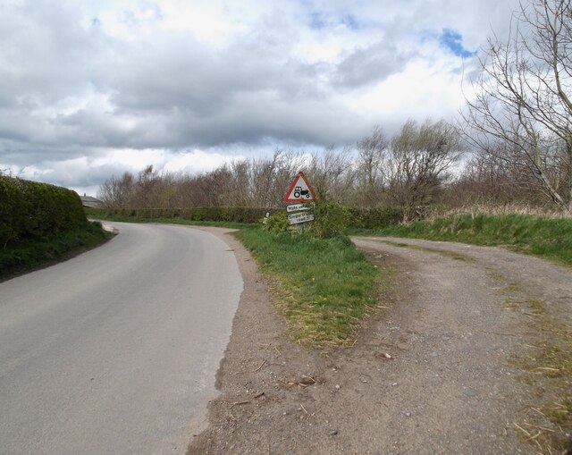
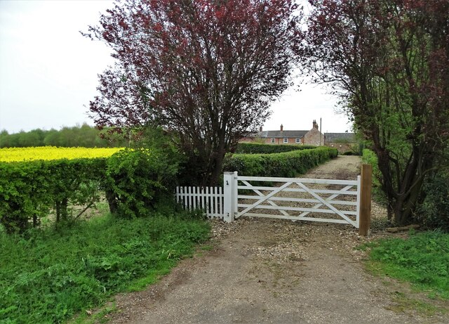
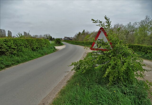
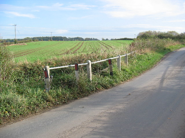
Barff Hill Images

Images are sourced within 2km of 53.919296/-0.33235246 or Grid Reference TA0948. Thanks to Geograph Open Source API. All images are credited.

Road junction east of Burshill
At "The Billabong" An old gravel pit is now the heart of a leisure site with caravans, cabins and of course fishing.
At "The Billabong"
An old gravel pit is now the heart of a leisure site with caravans, cabins and of course fishing.
The farmhouse, Burshill Farm
Heigholme Lane south of Burshill
Looking west from Heigholme Lane Just south of Heigholme Hall
Looking west from Heigholme Lane
Just south of Heigholme Hall
A small side channel on the River Hull Strangely it is not marked on the map but can be seen on an aerial view. Only just in the square!
A small side channel on the River Hull
Strangely it is not marked on the map but can be seen on an aerial view. Only just in the square!
Lay-by on the road to Hempholme
Old gravel pit near Starccarr Hill, Brandesburton Now a mecca for anglers from Hull.
Old gravel pit near Starccarr Hill, Brandesburton
Now a mecca for anglers from Hull.
Entrance to Barff House Farm
Lay-by and road sign to the east of Hempholme
Road over Burshill & Barff drain This road just cuts in the top NE corner of the grid square from which this view is from. To the SW of this road are fishing ponds
Road over Burshill & Barff drain
This road just cuts in the top NE corner of the grid square from which this view is from. To the SW of this road are fishing ponds
Farmland South of Burshill View looking south along the narrow lane over open farmland.
Farmland South of Burshill
View looking south along the narrow lane over open farmland.
Heigholme Hall The Hall is in the top NW corner of the grid square with the road from Burshill to Leven running NS through the centre. The Burshill & Barf Drain flows NS near the east edge of the grid square.
Heigholme Hall
The Hall is in the top NW corner of the grid square with the road from Burshill to Leven running NS through the centre. The Burshill & Barf Drain flows NS near the east edge of the grid square.
Farmland SW of Burshill It's mostly open farmland in this grid square. This view looking south along the drain which runs into the Leven canal.
Farmland SW of Burshill
It's mostly open farmland in this grid square. This view looking south along the drain which runs into the Leven canal.
Junction Near Burshill Farm Looking east across the road from near Burshill Farm. This grid square is mostly farmland with fishing ponds along the west side of the road which runs NS through the square.
Junction Near Burshill Farm
Looking east across the road from near Burshill Farm. This grid square is mostly farmland with fishing ponds along the west side of the road which runs NS through the square.
Near Hempholme Pumping Station Looking NW along the drain opposite the pumping station. This is a typical view of the farmland in this area.
Near Hempholme Pumping Station
Looking NW along the drain opposite the pumping station. This is a typical view of the farmland in this area.
Hempholme Pumping Station A typical view looking NE of the land in this area.
Hempholme Pumping Station
A typical view looking NE of the land in this area.
East of Hempholme Looking east, a typical view of this grid square which is all farmland.
East of Hempholme
Looking east, a typical view of this grid square which is all farmland.
Show me another place!

Barff Hill is located at Grid Ref: TA0948 (Lat: 53.919296, Lng: -0.33235246)

Division: East Riding

Unitary Authority: East Riding of Yorkshire

Police Authority: Humberside

What 3 Words

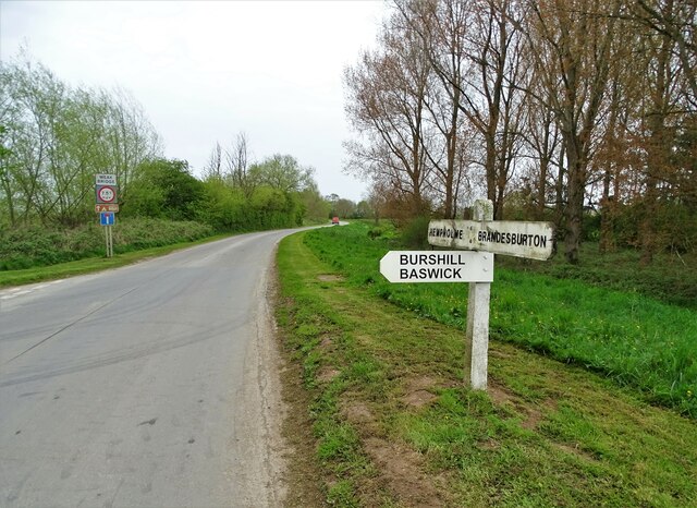
///kinks.signal.swerving. Near Brandesburton, East Yorkshire

Related Wikis

Burshill

Burshill is a hamlet in the East Riding of Yorkshire, England. It is situated approximately 7 miles (11 km) north-east of the market town of Beverley...

Hempholme

Hempholme is a hamlet in the East Riding of Yorkshire, England, in an area known as Holderness. It is situated approximately 8 miles (13 km) north-east...

Brandesburton

Brandesburton is a village and civil parish in the East Riding of Yorkshire, England. It is situated approximately 7 miles (11 km) west of Hornsea and...

Struncheon Hill Lock

Struncheon Hill Lock was built as a later addition to the Driffield Navigation in the East Riding of Yorkshire, England. It improved access to the next...
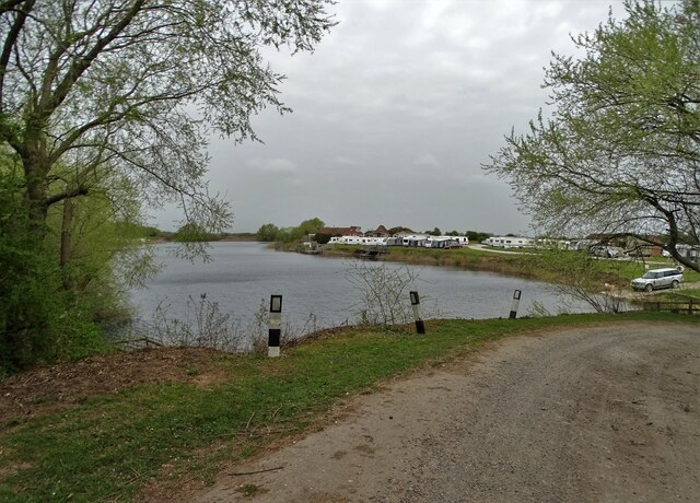
Nearby Amenities

Located within 500m of 53.919296,-0.33235246
Burshill
Is In: East Riding of Yorkshire, England, UK
Is In County: East Riding of Yorkshire
Place: hamlet
Source: npe
Wikidata: Q5000610
Lat/Long: 53.9178437/-0.3362395
The data included in this document is from www.openstreetmap.org. The data is made available under ODbL.

Have you been to Barff Hill?

Leave your review of Barff Hill below (or comments, questions and feedback).