Beacon Hill

Hill, Mountain in Lincolnshire South Kesteven

England

Beacon Hill

Washdyke Farm from Billingborough Road A limited archaeological investigation was carried out at the farm prior to construction of a grain store, but nothing of note was found <span class="nowrap"><a title="https://archaeologydataservice.ac.uk/library/browse/issue.xhtml?recordId=1111651&recordType=GreyLitSeries" rel="nofollow ugc noopener" href="https://archaeologydataservice.ac.uk/library/browse/issue.xhtml?recordId=1111651&recordType=GreyLitSeries">Link</a><img style="margin-left:2px;" alt="External link" title="External link - shift click to open in new window" src="https://s1.geograph.org.uk/img/external.png" width="10" height="10"/></span> .
Washdyke Farm from Billingborough Road Credit: Tim Heaton

Beacon Hill is a prominent geographical feature located in the county of Lincolnshire, England. Standing at an elevation of 168 meters (551 feet), it is classified as a hill rather than a mountain due to its comparatively modest height. Despite this, Beacon Hill offers stunning panoramic views of the surrounding countryside, making it a popular destination for visitors and locals alike.

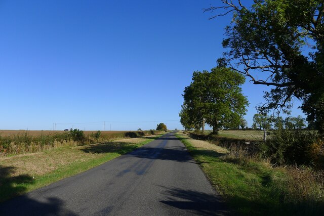
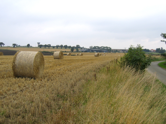
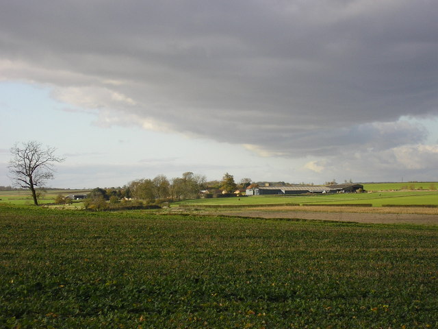
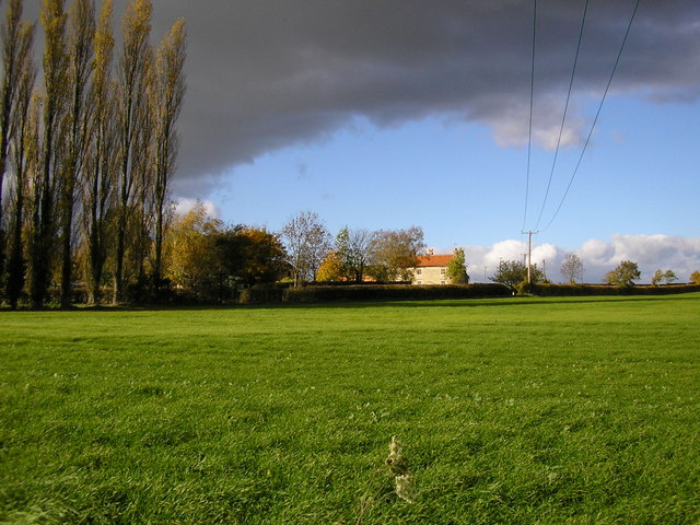
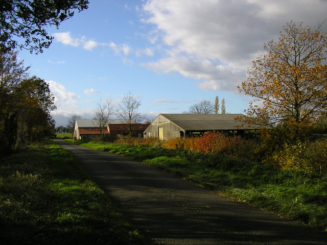
Situated near the village of Blankney, Beacon Hill is part of the Lincolnshire Edge, a range of hills that stretches across the eastern part of the county. The hill is covered in lush greenery, with a mixture of grasslands, shrubs, and trees dotting its slopes. This diverse habitat supports a variety of wildlife, including birds, insects, and small mammals.

At the summit of Beacon Hill, there is a stone beacon that was historically used as a signal point. It played a crucial role in the past, providing warnings of potential threats or announcing significant events to the surrounding area. Today, the beacon serves as a reminder of the hill's historical significance and adds to its charm.

The hill is easily accessible to visitors, with several footpaths and trails leading to its summit. These routes offer opportunities for hikers and nature enthusiasts to explore the area and enjoy the breathtaking views. Additionally, the hill is a popular spot for paragliding and hang gliding, as its elevation and gentle slopes provide ideal conditions for these activities.

In summary, Beacon Hill is a beautiful and historically significant hill in Lincolnshire, offering stunning views, diverse wildlife, and recreational opportunities for all.

If you have any feedback on the listing, please let us know in the comments section below.
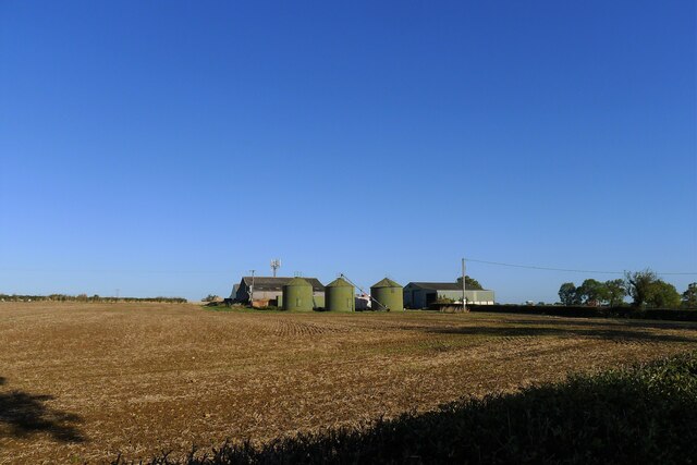
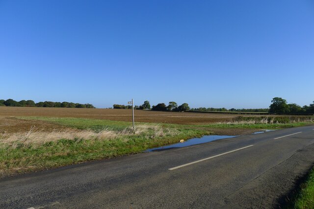
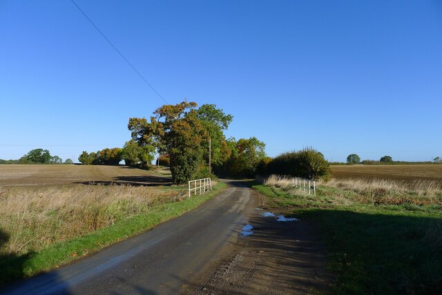
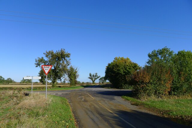
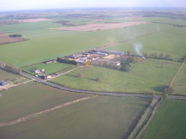
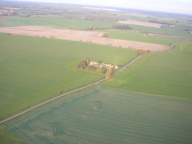
Beacon Hill Images

Images are sourced within 2km of 52.881916/-0.37644316 or Grid Reference TF0932. Thanks to Geograph Open Source API. All images are credited.

Washdyke Farm from Billingborough Road A limited archaeological investigation was carried out at the farm prior to construction of a grain store, but nothing of note was found <span class="nowrap"><a title="https://archaeologydataservice.ac.uk/library/browse/issue.xhtml?recordId=1111651&recordType=GreyLitSeries" rel="nofollow ugc noopener" href="https://archaeologydataservice.ac.uk/library/browse/issue.xhtml?recordId=1111651&recordType=GreyLitSeries">Link</a><img style="margin-left:2px;" alt="External link" title="External link - shift click to open in new window" src="https://s1.geograph.org.uk/img/external.png" width="10" height="10"/></span> .
Washdyke Farm from Billingborough Road
A limited archaeological investigation was carried out at the farm prior to construction of a grain store, but nothing of note was found LinkExternal link .
Footpath off Billingborough Road The footpath leads to Folkingham
Footpath off Billingborough Road
The footpath leads to Folkingham
Mareham Lane crossing Ouse Mere Lode The modern Mareham Lane runs from near Graby, Lincolnshire, due north for about 10.5 miles to Sleaford. Much of its length follows the route of a Roman road, Margary number 260, which ran for about 16 miles from Bourne to Sleaford (Margary, I.D., 1955. Roman roads in Britain, volume 1)
Mareham Lane crossing Ouse Mere Lode
The modern Mareham Lane runs from near Graby, Lincolnshire, due north for about 10.5 miles to Sleaford. Much of its length follows the route of a Roman road, Margary number 260, which ran for about 16 miles from Bourne to Sleaford (Margary, I.D., 1955. Roman roads in Britain, volume 1)
Mareham Lane crossing the Folkingham to Billingborough road The modern Mareham Lane runs from near Graby, Lincolnshire, due north for about 10.5 miles to Sleaford. Much of its length follows the route of a Roman road, Margary number 260, which ran for about 16 miles from Bourne to Sleaford (Margary, I.D., 1955. Roman roads in Britain, volume 1)
Mareham Lane crossing the Folkingham to Billingborough road
The modern Mareham Lane runs from near Graby, Lincolnshire, due north for about 10.5 miles to Sleaford. Much of its length follows the route of a Roman road, Margary number 260, which ran for about 16 miles from Bourne to Sleaford (Margary, I.D., 1955. Roman roads in Britain, volume 1)
Mareham Lane crossing into the district of North Kesteven The modern Mareham Lane runs from near Graby, Lincolnshire, due north for about 10.5 miles to Sleaford. Much of its length follows the route of a Roman road, Margary number 260, which ran for about 16 miles from Bourne to Sleaford (Margary, I.D., 1955. Roman roads in Britain, volume 1)
Mareham Lane crossing into the district of North Kesteven
The modern Mareham Lane runs from near Graby, Lincolnshire, due north for about 10.5 miles to Sleaford. Much of its length follows the route of a Roman road, Margary number 260, which ran for about 16 miles from Bourne to Sleaford (Margary, I.D., 1955. Roman roads in Britain, volume 1)
The House of Correction Built in 1825 by architect Bryan Browning, the gatehouse / Governor's house of Folkingham's House of Correction inside the moated area of the medieval castle.
The House of Correction
Built in 1825 by architect Bryan Browning, the gatehouse / Governor's house of Folkingham's House of Correction inside the moated area of the medieval castle.
Folkingham Water Tower On the high ground to the south of Folkingham village
Folkingham Water Tower
On the high ground to the south of Folkingham village
Barn near Birthorpe
Barn near Birthorpe
Bales of wheat straw, Laughton, Lincs
The A15 road at Laughton, Lincs the main road from Sleaford to Bourne.
The A15 road at Laughton, Lincs
the main road from Sleaford to Bourne.
Washdyke Farm, Billingborough Road, Folkingham, Lincs
Farm loading ramp, Billingborough Road, Folkingham, Lincs and footpath to Folkingham.
Farm loading ramp, Billingborough Road, Folkingham, Lincs
and footpath to Folkingham.
Crossroads between Folkingham and Billingborough, Lincs looking NE along Mareham Lane, course of a Roman Road.
Crossroads between Folkingham and Billingborough, Lincs
looking NE along Mareham Lane, course of a Roman Road.
Laughton Manor Farm
Laughton Manor Farm
Beacon Hill Farm
Beacon Hill Farm
Farm buildings (Pointon Cottage Farm) Previously part of Pointon Cottage Farm.  The furthest building has been converted to house documents for a secure document archive company.
Farm buildings (Pointon Cottage Farm)
Previously part of Pointon Cottage Farm. The furthest building has been converted to house documents for a secure document archive company.
Laughton Manor Farm
Laughton Manor Farm
Beacon Hill Farm
Beacon Hill Farm
Show me another place!

Beacon Hill is located at Grid Ref: TF0932 (Lat: 52.881916, Lng: -0.37644316)

Administrative County: Lincolnshire

District: South Kesteven

Police Authority: Lincolnshire

What 3 Words

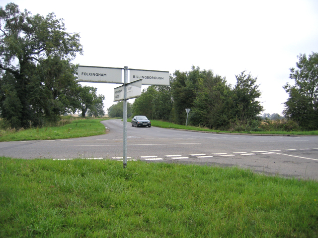
///speakers.stroke.broadcast. Near Billingborough, Lincolnshire

Nearby Locations

Beacon Hill

Related Wikis

Sempringham Priory

Sempringham Priory was a priory in Lincolnshire, England, located in the medieval hamlet of Sempringham, to the northwest of Pointon. Today, all that remains...

Birthorpe

Birthorpe is a hamlet in the civil parish of Billingborough, in the South Kesteven district of Lincolnshire, England. It is situated less than 1 mile...

Folkingham Castle

Folkingham Castle is located near the village of Folkingham, Lincolnshire, England. The castle was the caput baroniae of the barony of Folkingham. A motte...

Folkingham

Folkingham ( FOK-ing-əm) is a village and civil parish in the South Kesteven district of Lincolnshire, England. It lies on the A15 road 11 miles (18 km...

Nearby Amenities

Located within 500m of 52.881916,-0.37644316
Beacon Hill Farm
Place: farm
Source: Bing
Lat/Long: 52.8799624/-0.3774192
Beacon Hill
Place: locality
Source: Bing
Lat/Long: 52.8819375/-0.3772834
The data included in this document is from www.openstreetmap.org. The data is made available under ODbL.

Have you been to Beacon Hill?

Leave your review of Beacon Hill below (or comments, questions and feedback).