Sullington Hill
Hill, Mountain in Sussex Horsham
England
Sullington Hill
Sullington Hill is a prominent landmark located in the county of Sussex, England. It is situated near the village of Storrington, approximately 16 miles northwest of the city of Brighton. Despite its name, Sullington Hill is not a true hill or mountain but rather a prominent ridge formed by the South Downs, a range of chalk hills that extend across southern England.
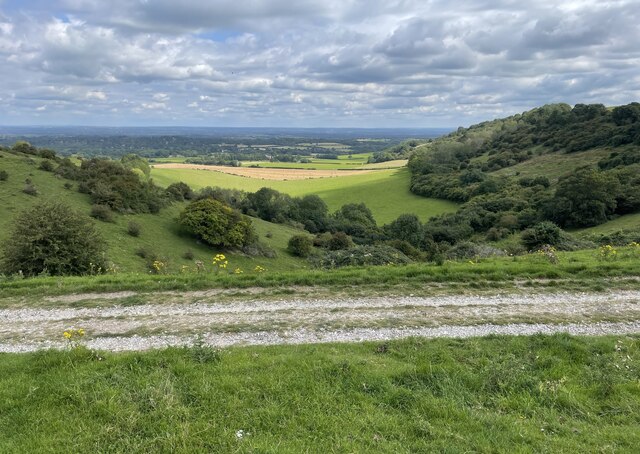
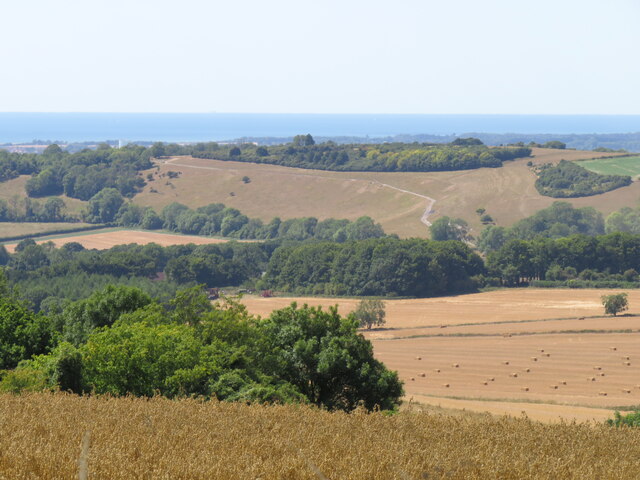
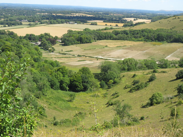
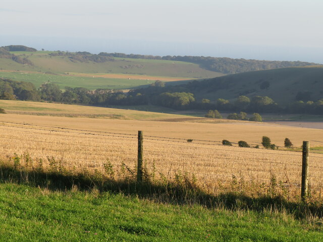
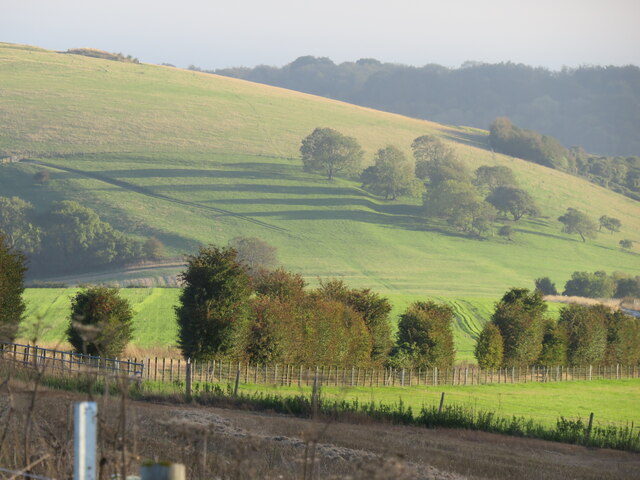
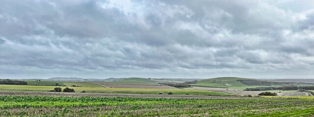
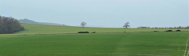
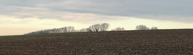
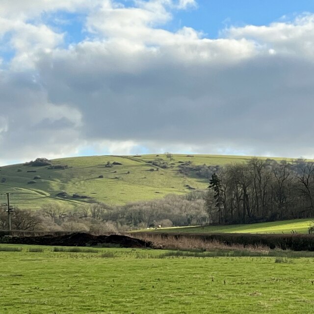
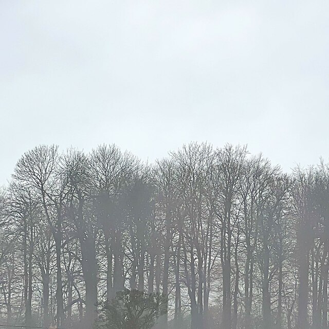
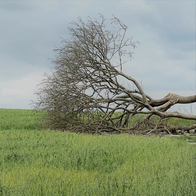
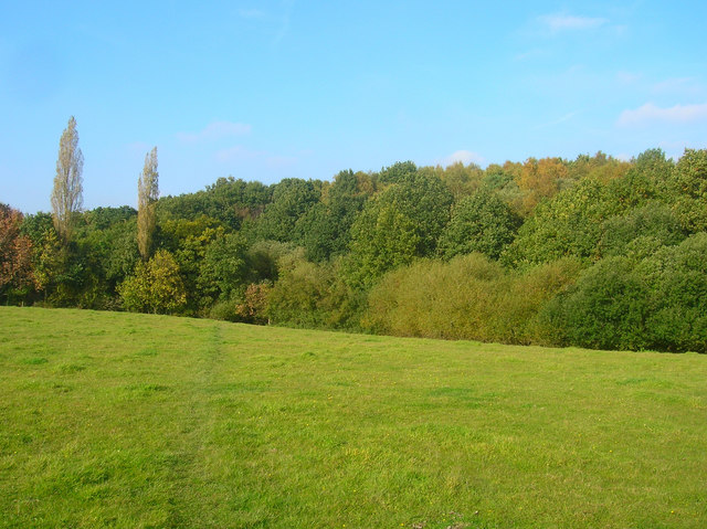
Standing at an elevation of 227 meters (745 feet), Sullington Hill offers breathtaking panoramic views of the surrounding countryside. From its summit, visitors can enjoy vistas of the rolling South Downs, the picturesque Arun Valley, and the distant English Channel on clear days. The hill is covered in lush greenery, with large areas of grassland and patches of ancient woodland, creating a rich and diverse habitat for various flora and fauna.
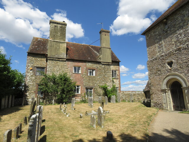
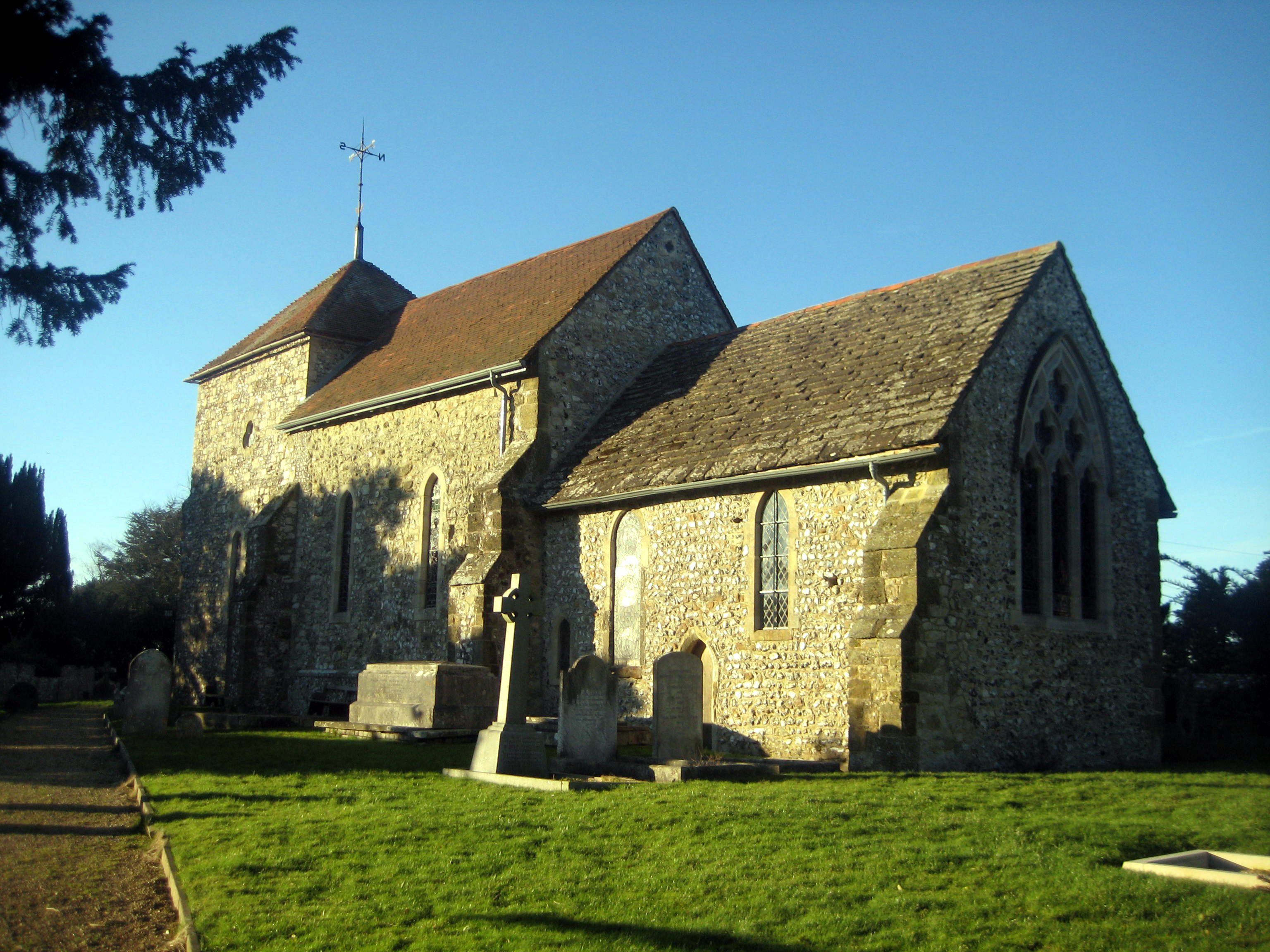
The area surrounding Sullington Hill holds immense historical significance. It is believed to have been settled since prehistoric times, with evidence of Iron Age and Roman occupation discovered in the vicinity. Additionally, an ancient burial mound known as Chanctonbury Ring can be found nearby, adding to the area's archaeological interest.
Sullington Hill is a popular destination for outdoor enthusiasts and nature lovers. Several footpaths and bridleways crisscross the hill, providing opportunities for hiking, walking, and horse riding. The area is also known for its abundant wildlife, including rare butterfly species and birds of prey.
Overall, Sullington Hill is a captivating natural landmark, offering stunning views, historical intrigue, and opportunities for outdoor exploration in the heart of Sussex.
If you have any feedback on the listing, please let us know in the comments section below.
Sullington Hill Images
Images are sourced within 2km of 50.898127/-0.446555 or Grid Reference TQ0912. Thanks to Geograph Open Source API. All images are credited.

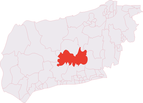
Sullington Hill is located at Grid Ref: TQ0912 (Lat: 50.898127, Lng: -0.446555)
Administrative County: West Sussex
District: Horsham
Police Authority: Sussex
What 3 Words
///limped.fittingly.slugs. Near Storrington, West Sussex
Nearby Locations
Related Wikis
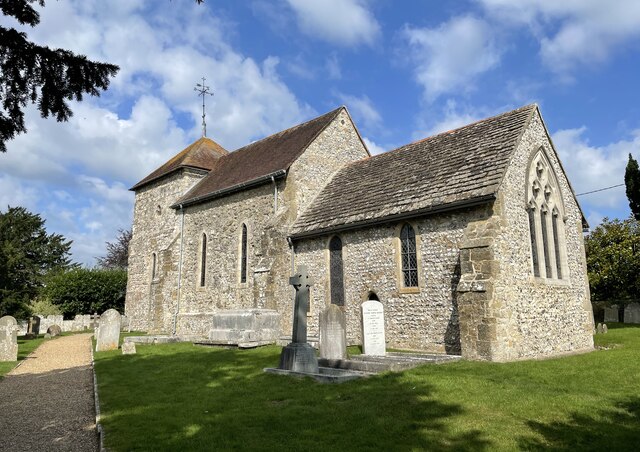
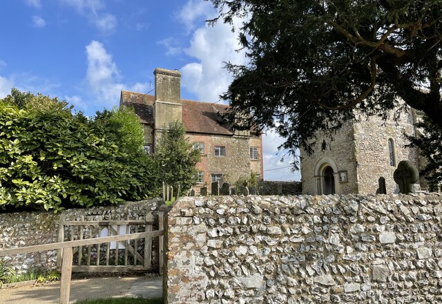
Sullington
Sullington is a village and former civil parish, now in the parish of Storrington and Sullington, in the Horsham district of West Sussex, England. The...
Storrington (electoral division)
Storrington is an electoral division of West Sussex in the United Kingdom and returns one member to West Sussex County Council. == Extent == The division...
Chantry Mill
Chantry Mill is a 8.7-hectare (21-acre) geological Site of Special Scientific Interest in Storrington in West Sussex. It is a Geological Conservation Review...

St Joseph's Hall
St Joseph's Hall in Greyfriars Lane, Storrington, West Sussex is a Grade II listed former residence of the Bishop of Arundel and Brighton. It was built...
Nearby Amenities
Located within 500m of 50.898127,-0.446555Have you been to Sullington Hill?
Leave your review of Sullington Hill below (or comments, questions and feedback).