Little Hawks Hill
Hill, Mountain in Surrey Waverley
England
Little Hawks Hill
Little Hawks Hill is a picturesque hill located in the county of Surrey, England. Situated in the southeastern part of the county, it is a prominent natural landmark in the area. Rising to an elevation of approximately 200 meters (656 feet), it offers stunning panoramic views of the surrounding countryside.
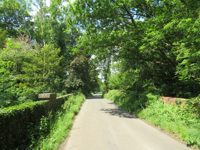
The hill is characterized by its gently sloping terrain, covered in lush greenery and dotted with scattered trees. It is a haven for nature enthusiasts, offering a tranquil environment for walking, hiking, and birdwatching. The hill is home to a diverse range of flora and fauna, including various species of birds, butterflies, and wildflowers.
Little Hawks Hill is known for its rich history, with evidence of human settlements dating back to ancient times. Archaeological excavations have revealed artifacts and remnants of structures from the Iron Age, indicating human activity in the area for thousands of years. The hill has also played a significant role in the agricultural practices of the region, with evidence of farming and grazing activities.
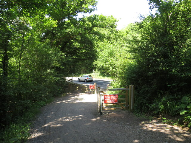
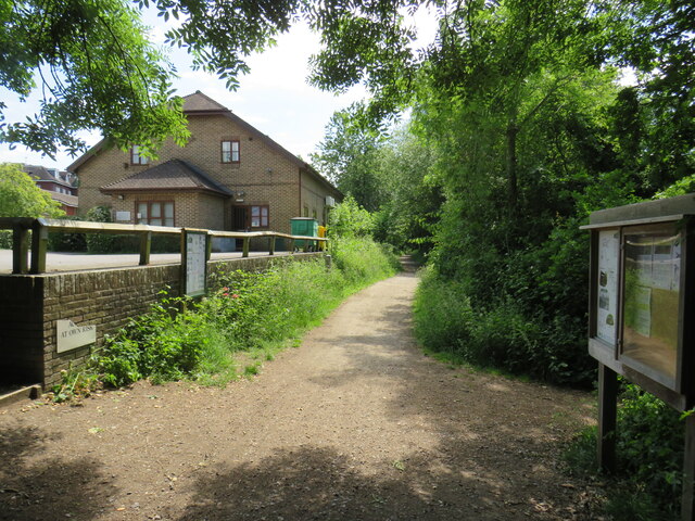
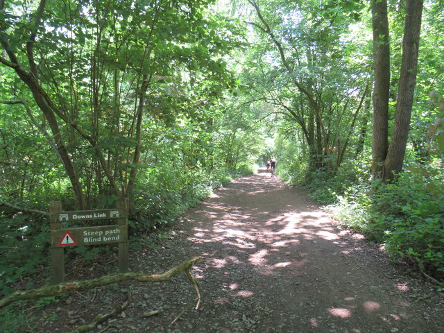
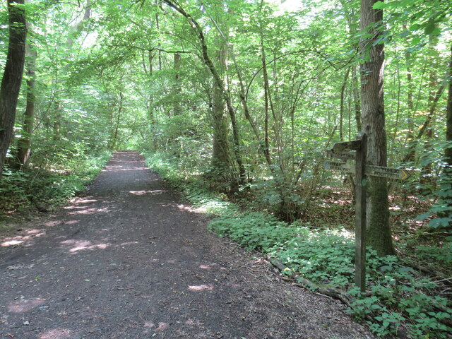
Access to Little Hawks Hill is facilitated by a network of footpaths and trails, allowing visitors to explore its natural beauty at their leisure. The hill is easily accessible by car, with nearby parking facilities available. Additionally, public transportation options are available, with bus routes connecting the hill to nearby towns and villages.
Overall, Little Hawks Hill offers a serene and idyllic escape from the bustling urban life, providing visitors with an opportunity to immerse themselves in the beauty of nature and explore the rich history of the region.
If you have any feedback on the listing, please let us know in the comments section below.
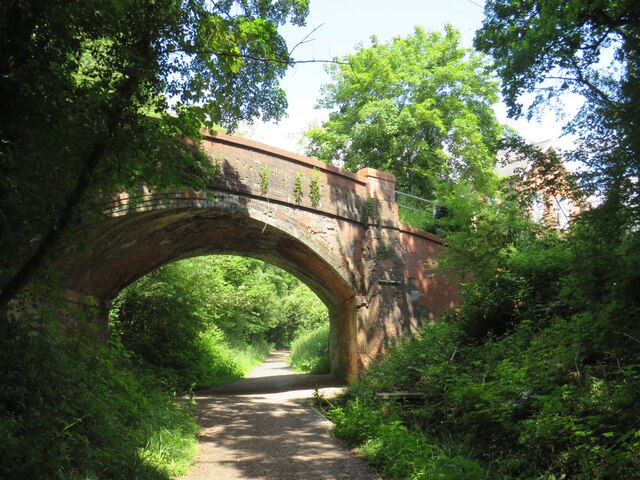
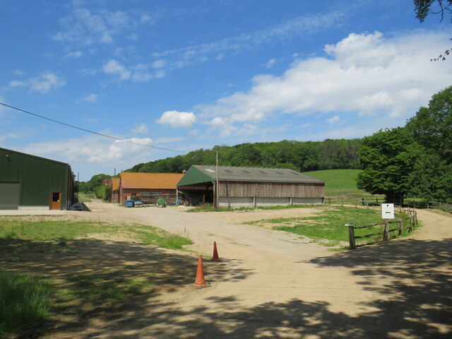
Little Hawks Hill Images
Images are sourced within 2km of 51.100415/-0.45135415 or Grid Reference TQ0834. Thanks to Geograph Open Source API. All images are credited.


Little Hawks Hill is located at Grid Ref: TQ0834 (Lat: 51.100415, Lng: -0.45135415)
Administrative County: Surrey
District: Waverley
Police Authority: Surrey
What 3 Words
///machinery.ends.sedative. Near Rudgwick, West Sussex
Nearby Locations
Related Wikis

Holy Trinity Church, Rudgwick
Holy Trinity Church is the Anglican parish church of Rudgwick, a village in the Horsham district of West Sussex, England. The oldest part of the church...

Rudgwick
Rudgwick is a village and civil parish in the Horsham District of West Sussex, England. The village is 6 miles (10 km) west from Horsham on the north...

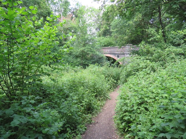
Baynards railway station
Baynards was a railway station on the Cranleigh Line, between Guildford, Surrey and Horsham, West Sussex, England. The station opened with the line on...
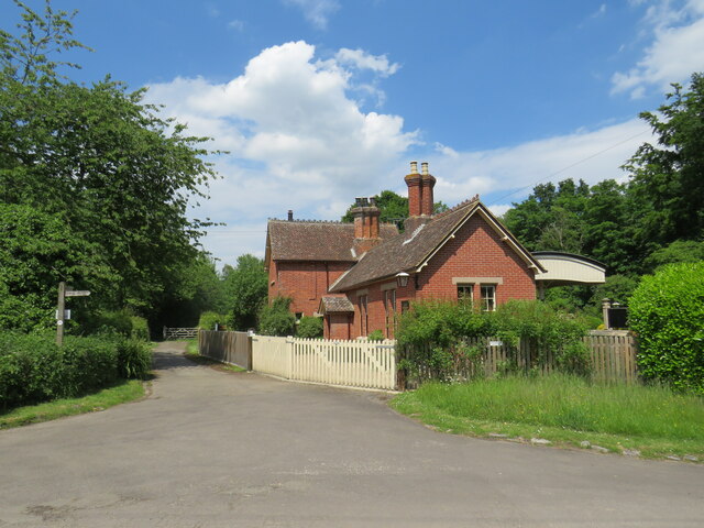
Rudgwick railway station
Rudgwick railway station was on the Cranleigh Line. It served the village of Rudgwick in West Sussex until June, 1965. == History == Rudgwick station opened...
Related Videos


Whales/llandudno town/visiting places in llandudno/how we can spend a day/full day enjoyment/coffee
farinalifestyle #llandudno #greatorme #greatormegoats #northwalescoastlast #welshcoast #llandudnosunset #northwales ...

Wels Catfish Fishing From Furnace Lakes Fishery Roman Lake Peg 6
Hello everyone During my one week fishing trip to furnace lakes Roman lake peg 6 - http://www.furnace-lakes.co.uk Releasing a ...
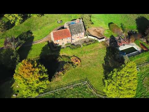
Pensfold Farm, Rudgwick, West Sussex
A rare opportunity to acquire a country house, set in a private position on the Surrey / Sussex border, with a swimming pool, ...
Nearby Amenities
Located within 500m of 51.100415,-0.45135415Have you been to Little Hawks Hill?
Leave your review of Little Hawks Hill below (or comments, questions and feedback).