Galley Hill
Hill, Mountain in Lincolnshire North Kesteven
England
Galley Hill
Galley Hill is a prominent hill located in the county of Lincolnshire, England. Situated near the town of Cleethorpes, this natural landmark offers breathtaking views of the surrounding area. Despite its name, Galley Hill is not actually a hill but rather a remnant of a glacial moraine formed during the last Ice Age.
Standing at an elevation of approximately 50 meters, Galley Hill is a popular destination for outdoor enthusiasts, hikers, and nature lovers. The hill is covered in lush greenery, with a variety of plant and animal species calling it home. It is also home to a small woodland area, providing a picturesque setting for visitors to explore.
At the top of Galley Hill, visitors are rewarded with panoramic views of the Lincolnshire countryside, the Humber Estuary, and even the distant coastline. On a clear day, one can also catch a glimpse of the iconic Humber Bridge, which spans the river between Lincolnshire and East Yorkshire.
In addition to its natural beauty, Galley Hill also has historical significance. It is believed that the hill was used as a lookout point during World War II, with its elevated position providing a strategic advantage for observing any potential enemy movements.
Overall, Galley Hill is a stunning and historically significant landmark in Lincolnshire. Its natural beauty, panoramic views, and historical significance make it a must-visit destination for both locals and tourists alike.
If you have any feedback on the listing, please let us know in the comments section below.
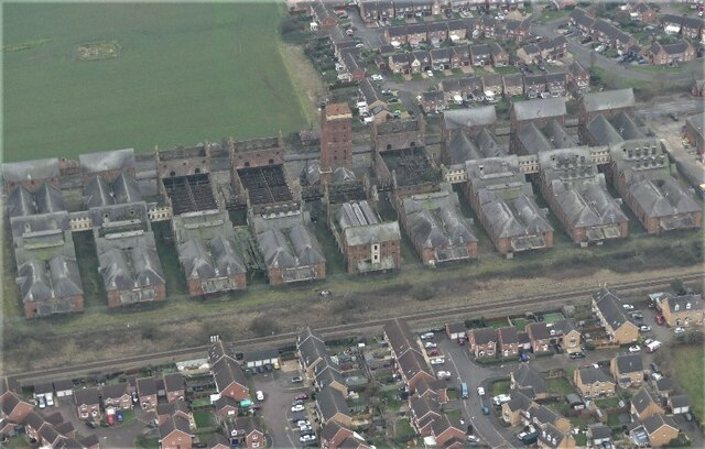
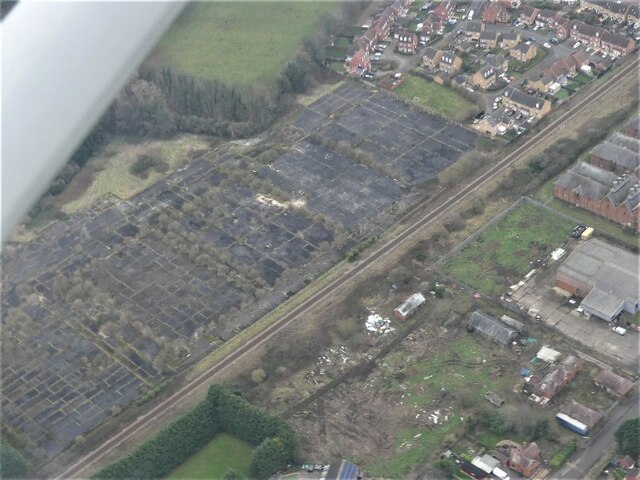
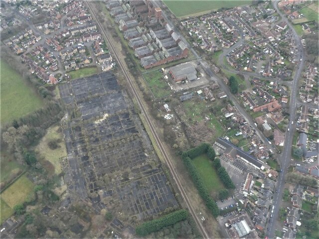
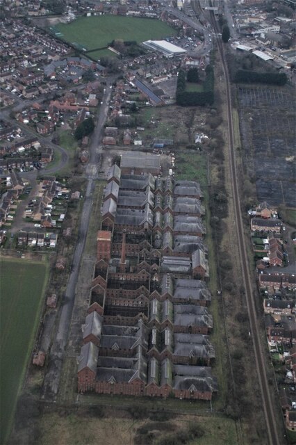
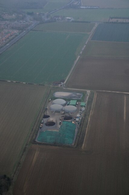
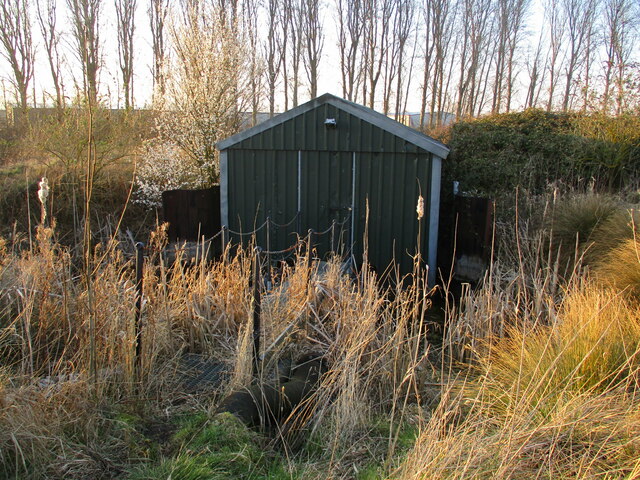
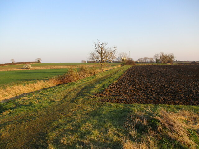
Galley Hill Images
Images are sourced within 2km of 53.004676/-0.40555267 or Grid Reference TF0746. Thanks to Geograph Open Source API. All images are credited.


Galley Hill is located at Grid Ref: TF0746 (Lat: 53.004676, Lng: -0.40555267)
Administrative County: Lincolnshire
District: North Kesteven
Police Authority: Lincolnshire
What 3 Words
///numeral.tinned.served. Near Sleaford, Lincolnshire
Nearby Locations
Related Wikis

Carre's Grammar School
Carre's Grammar School is a selective secondary school for boys in Sleaford, a market town in Lincolnshire, England. Founded on 1 September 1604 by an...
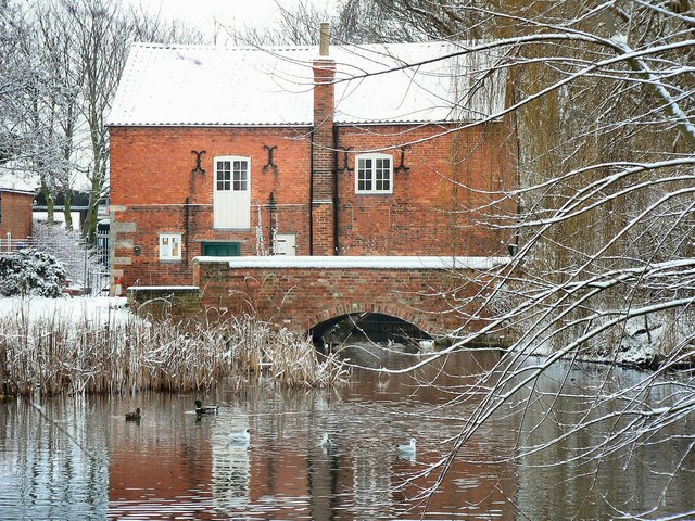
Cogglesford Mill
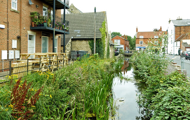
Cogglesford Mill (sometimes referred to as Coggesford) is a Grade II listed working watermill in Sleaford, Lincolnshire. It is possibly the last working...

North Kesteven Council Offices
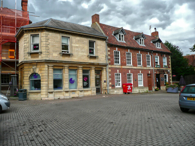
The North Kesteven Council Offices, formerly County Offices, Sleaford, is a municipal structure in Lafford Terrace, Sleaford, Lincolnshire, England. The...

Manor House, Sleaford
The Manor House is a set of connected buildings located on Northgate in the English town of Sleaford, Lincolnshire. A complex arrangement, parts of the...

St Denys' Church, Sleaford
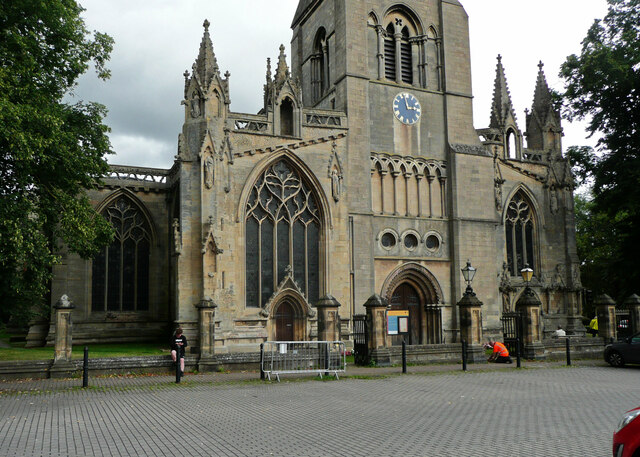
St Denys' Church is a medieval Anglican parish church in Sleaford, Lincolnshire, England. While a church and a priest have probably been present in the...

Sessions House, Sleaford
The Sessions House, also known as Sleaford Town Hall, is a judicial structure in the Market Place, Sleaford, Lincolnshire, England. The structure, which...
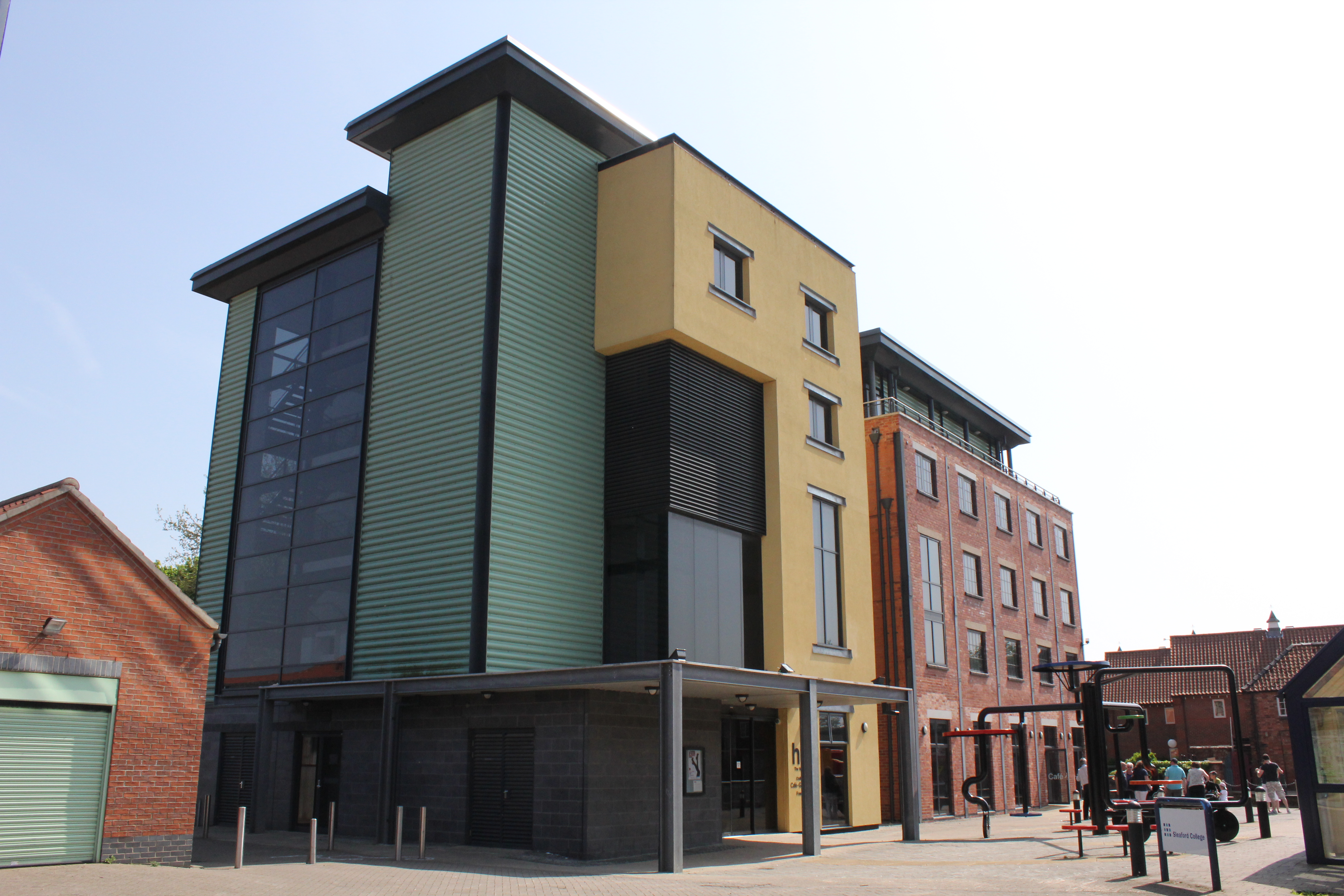
The National Centre for Craft & Design
The Hub (sometimes The National Centre for Craft & Design) is an arts centre in Sleaford, Lincolnshire, which holds England's largest exhibition space...
St George's Academy
St George's Academy is a co-educational comprehensive secondary school based in the English market town of Sleaford in Lincolnshire, with a satellite school...
Nearby Amenities
Located within 500m of 53.004676,-0.40555267Have you been to Galley Hill?
Leave your review of Galley Hill below (or comments, questions and feedback).