Batchworth Hill
Hill, Mountain in Hertfordshire Three Rivers
England
Batchworth Hill

Batchworth Hill is a prominent geographical feature located in the county of Hertfordshire, England. It is classified as a hill, rather than a mountain, due to its relatively modest elevation and size. Standing at approximately 150 meters above sea level, Batchworth Hill offers panoramic views of the surrounding countryside, making it a popular destination for hikers, nature enthusiasts, and tourists alike.
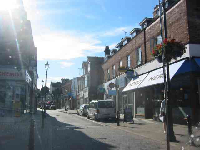
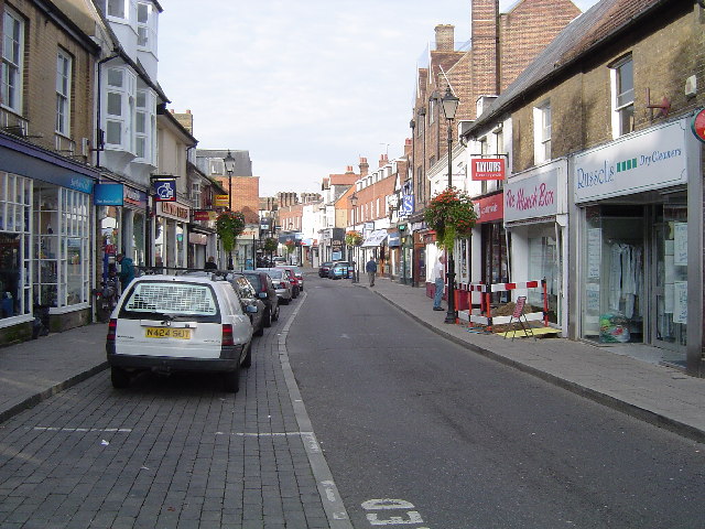
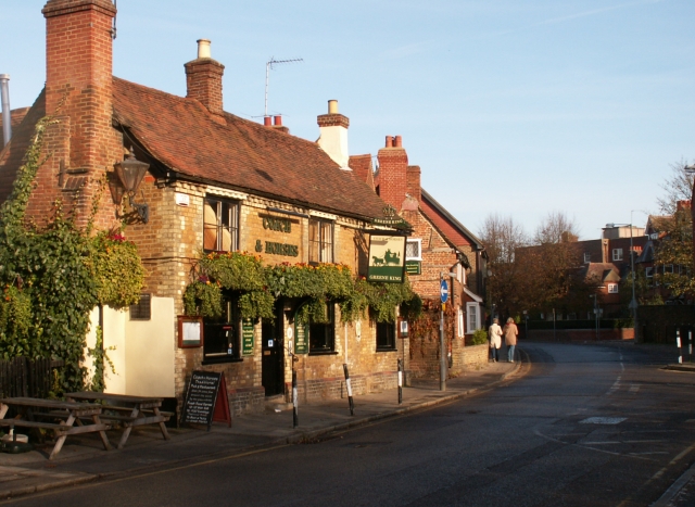
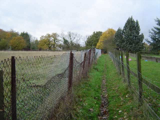
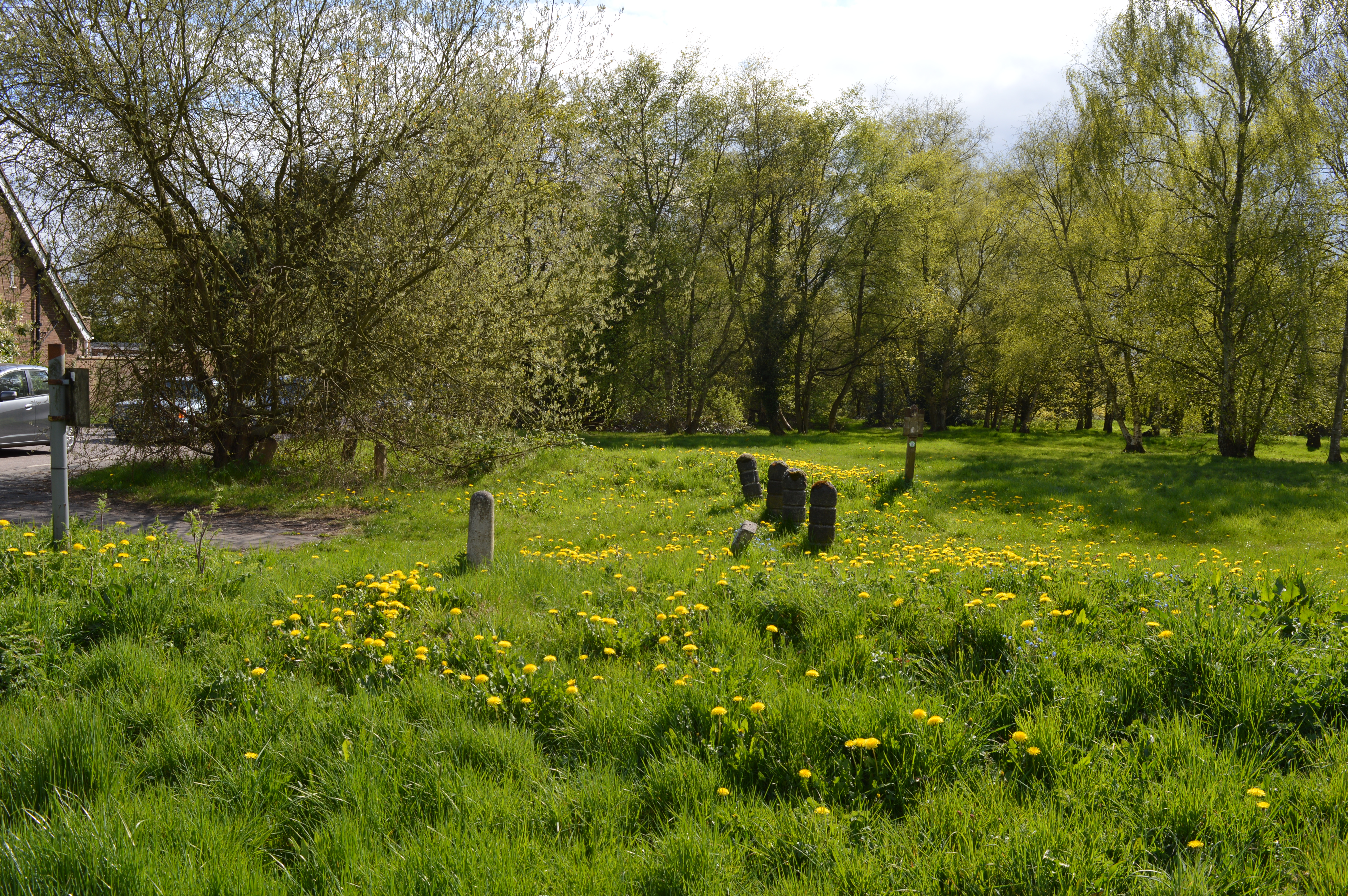
The hill is situated in the southwestern part of Hertfordshire, near the town of Rickmansworth. It is part of the larger Batchworth Heath, which covers an area of approximately 100 hectares. The heath consists of a mix of grassland, heather, and woodland, providing a diverse habitat for a variety of flora and fauna.
Batchworth Hill is known for its rich history and archaeological significance. The area has been inhabited since ancient times, with evidence of human activity dating back to the Neolithic period. Archaeological excavations have uncovered artifacts such as pottery, tools, and burial mounds, shedding light on the early settlement patterns of the region.
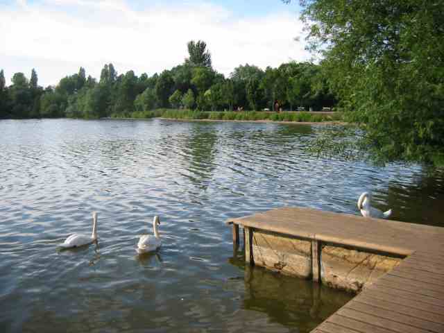
In addition to its historical importance, Batchworth Hill is also a valuable natural resource. It is home to a range of wildlife species, including birds, mammals, and reptiles. The heathland supports a number of rare and protected species, such as the Dartford warbler and the sand lizard.
Overall, Batchworth Hill offers visitors a unique blend of natural beauty, cultural heritage, and recreational opportunities. Whether it is exploring its archaeological sites, enjoying the scenic views, or simply immersing oneself in nature, Batchworth Hill is a must-visit destination for anyone interested in the history and natural splendor of Hertfordshire.
If you have any feedback on the listing, please let us know in the comments section below.
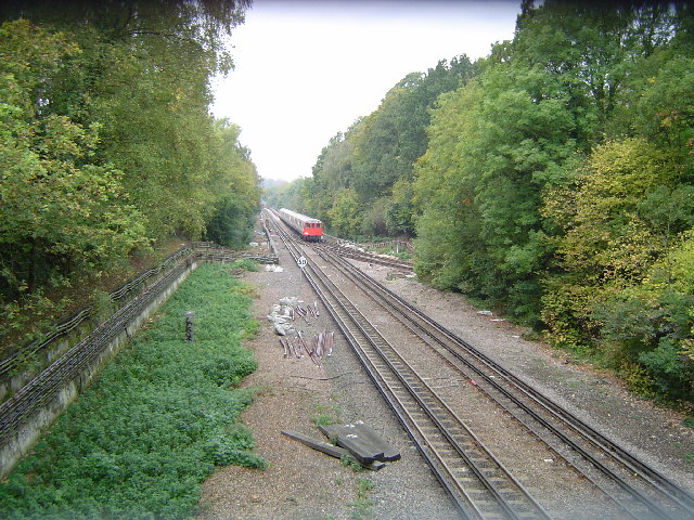
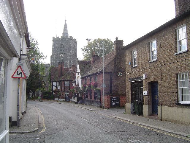
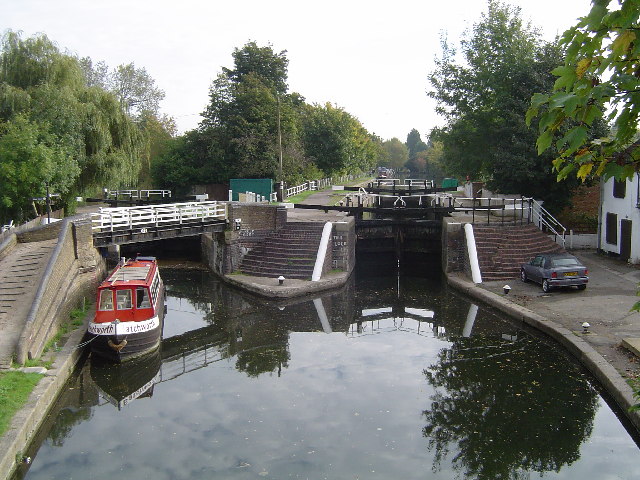
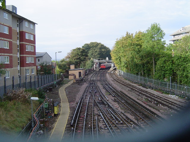
Batchworth Hill Images
Images are sourced within 2km of 51.629064/-0.4584873 or Grid Reference TQ0693. Thanks to Geograph Open Source API. All images are credited.


Batchworth Hill is located at Grid Ref: TQ0693 (Lat: 51.629064, Lng: -0.4584873)
Administrative County: Hertfordshire
District: Three Rivers
Police Authority: Hertfordshire
What 3 Words
///planet.crash.sailor. Near Rickmansworth, Hertfordshire
Nearby Locations
Related Wikis
Batchworth
Batchworth was once a hamlet and is now a civil parish and part of Rickmansworth in Hertfordshire. The parish of Batchworth was created on 1 April 2017...

Moor Park Golf Club
Moor Park Golf Club is a country club located in Rickmansworth, Hertfordshire, England. It has two eighteen-hole golf courses, the High Course and the...
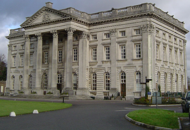
Moor Park (house)
Moor Park is a Neo-Palladian mansion set within several hundred acres of parkland to the south-east of Rickmansworth in Hertfordshire, England. It is called...
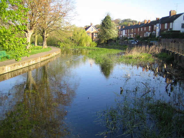
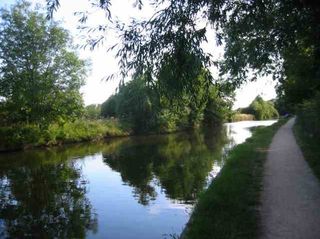
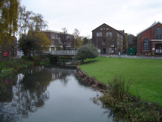
River Chess
The River Chess is a chalk stream that rises near Chesham in the Chiltern Hills, and flows for 11 miles (18 km) through Buckinghamshire and Hertfordshire...
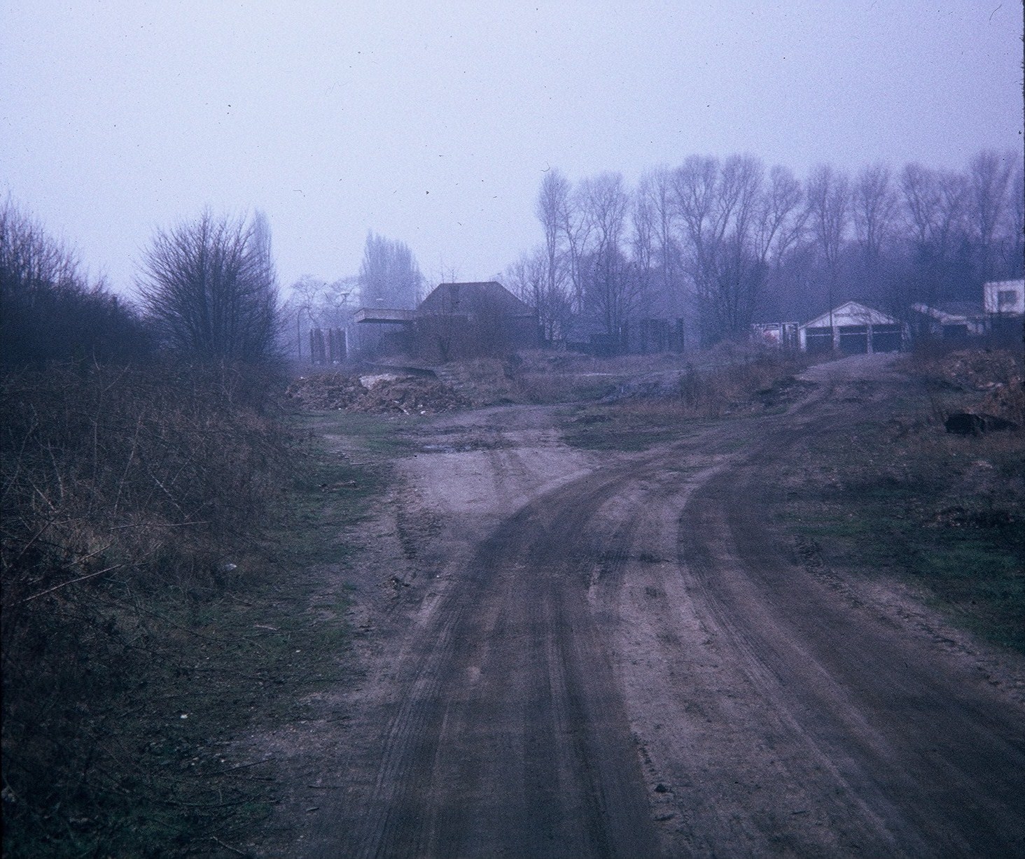
Rickmansworth (Church Street) railway station
Rickmansworth (Church Street) railway station was a London and North Western Railway (LNWR) station in Rickmansworth, Hertfordshire, UK. Opened in 1862...

Rickmansworth
Rickmansworth (), is a town in south-west Hertfordshire, England; it is located about 17 miles (27 km) north-west of central London, 5 miles (8 km) south...
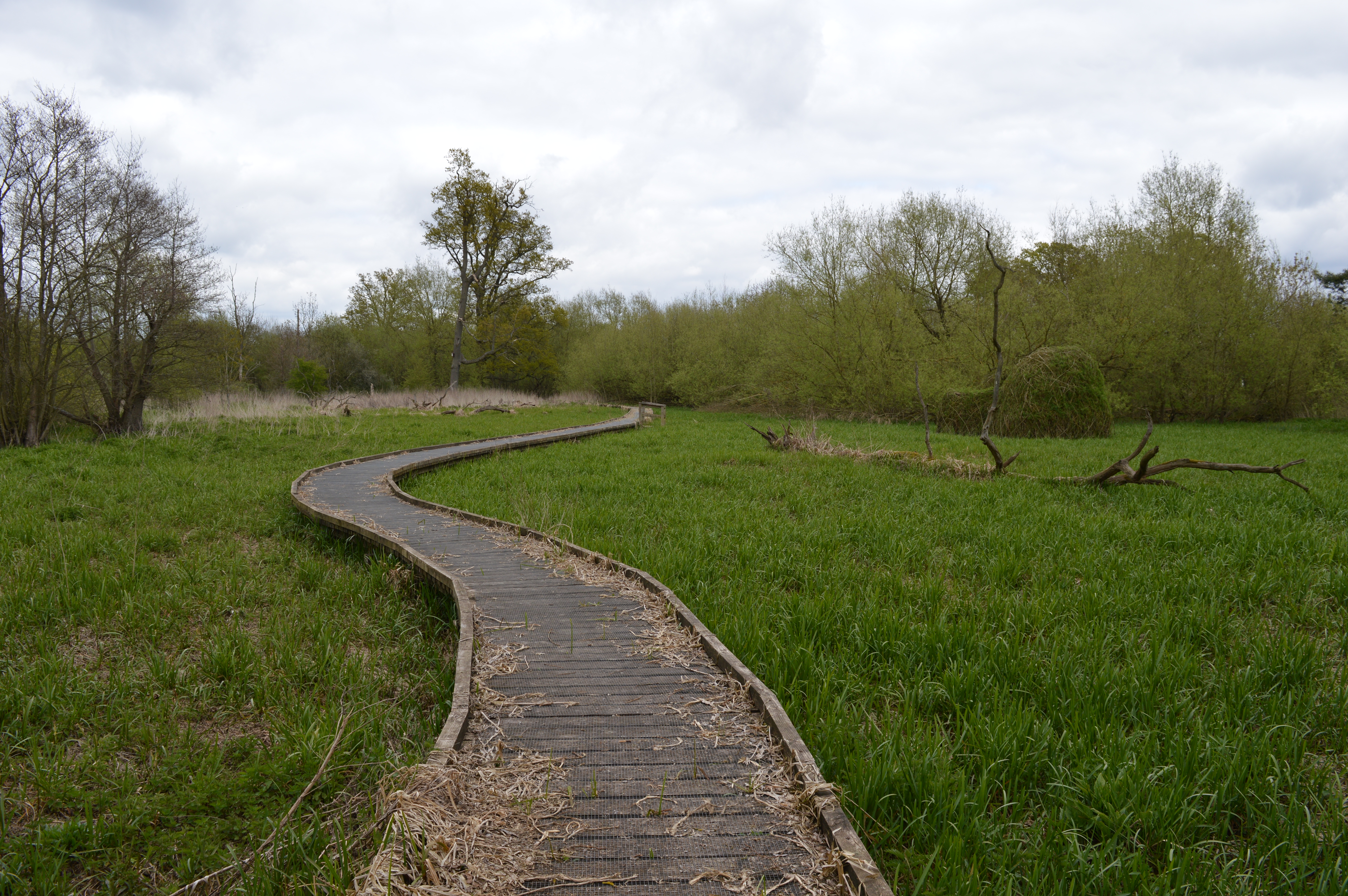
The Withey Beds
The Withey Beds is a 7.5 hectare Local Nature Reserve (LNR) in Rickmansworth in Hertfordshire. It was declared an LNR in 2004 by Three Rivers District...
Batchworth Heath
Batchworth Heath is 4 hectares (10 acres) of designated common land in Rickmansworth, Hertfordshire, around the junction of Batchworth Heath Hill, Batchworth...
Nearby Amenities
Located within 500m of 51.629064,-0.4584873Have you been to Batchworth Hill?
Leave your review of Batchworth Hill below (or comments, questions and feedback).