The Grove
Wood, Forest in Hertfordshire Three Rivers
England
The Grove

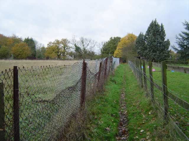
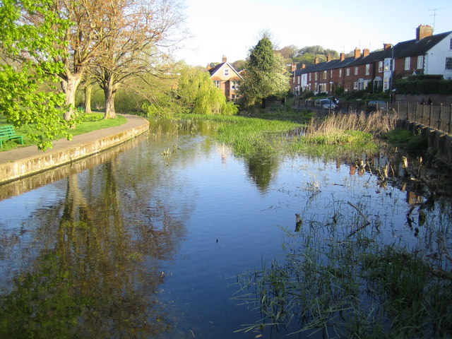
The Grove is a picturesque woodland and forest located in Hertfordshire, England. Covering an area of approximately 200 acres, it is a popular destination for nature enthusiasts and outdoor lovers. The Grove is known for its diverse range of trees, including oak, beech, and ash, which create a stunning canopy of foliage throughout the year.
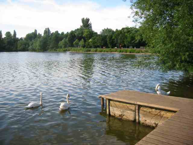
The woodland is home to a rich variety of wildlife, with numerous species of birds, mammals, and insects inhabiting the area. Visitors can expect to encounter squirrels, deer, and foxes during their visit, as well as a wide assortment of birdlife, including woodpeckers and owls. Nature lovers will also appreciate the vibrant array of wildflowers that bloom in the forest, adding a touch of color to the surroundings.
The Grove offers a range of walking trails and paths, allowing visitors to explore the woodland at their own pace. These paths are well-maintained and suitable for visitors of all ages and fitness levels. There are also designated picnic areas, providing the perfect opportunity for visitors to relax and enjoy the peaceful surroundings.
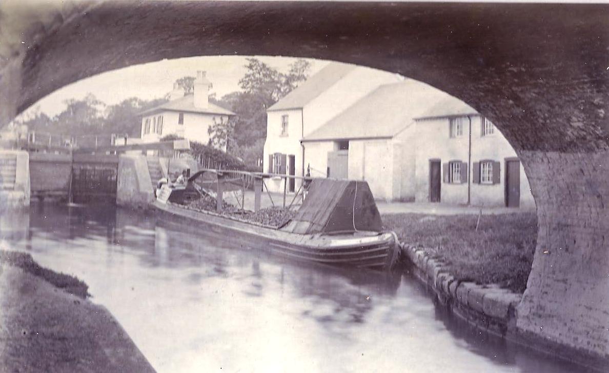
In addition to its natural beauty, The Grove also has historical significance. The forest has been a part of the local landscape for centuries and has witnessed various historical events over time. It is a place where visitors can connect with nature, immerse themselves in history, and enjoy the tranquility that the woodland offers.
If you have any feedback on the listing, please let us know in the comments section below.
The Grove Images
Images are sourced within 2km of 51.631464/-0.46667074 or Grid Reference TQ0693. Thanks to Geograph Open Source API. All images are credited.


The Grove is located at Grid Ref: TQ0693 (Lat: 51.631464, Lng: -0.46667074)
Administrative County: Hertfordshire
District: Three Rivers
Police Authority: Hertfordshire
What 3 Words
///noise.idea.listed. Near Rickmansworth, Hertfordshire
Nearby Locations
Related Wikis
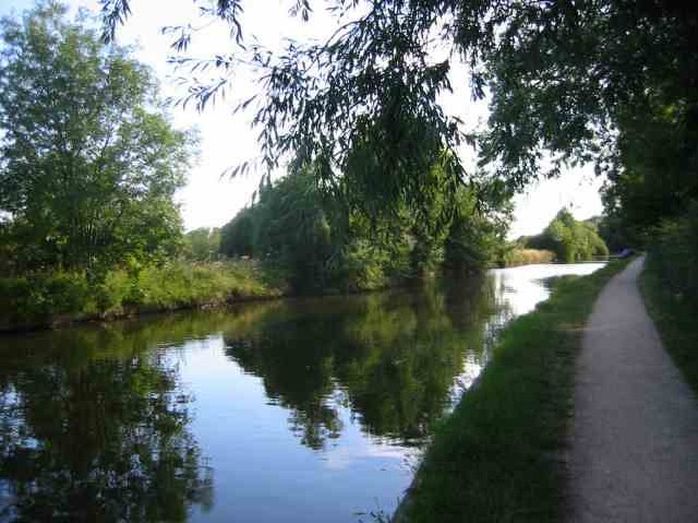
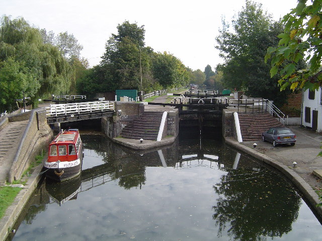
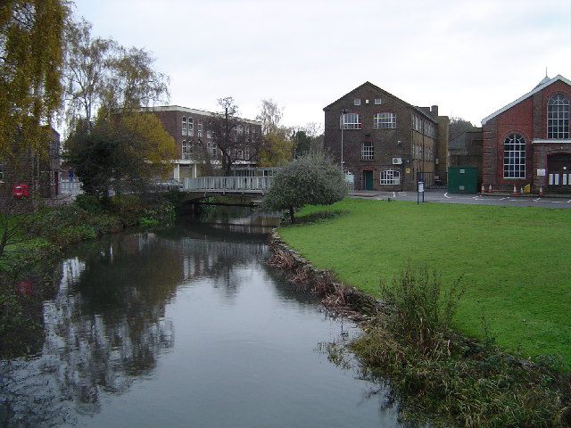
River Chess
The River Chess is a chalk stream that rises near Chesham in the Chiltern Hills, and flows for 11 miles (18 km) through Buckinghamshire and Hertfordshire...
Batchworth
Batchworth was once a hamlet and is now a civil parish and part of Rickmansworth in Hertfordshire. The parish of Batchworth was created on 1 April 2017...
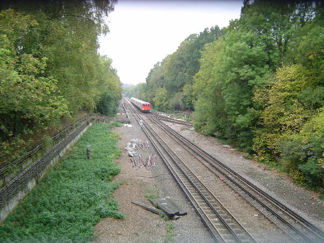
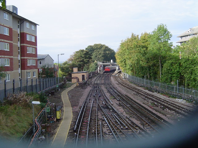
Rickmansworth (Church Street) railway station
Rickmansworth (Church Street) railway station was a London and North Western Railway (LNWR) station in Rickmansworth, Hertfordshire, UK. Opened in 1862...

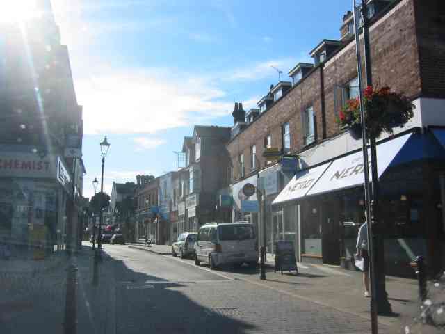
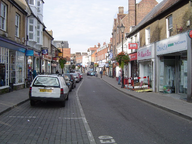
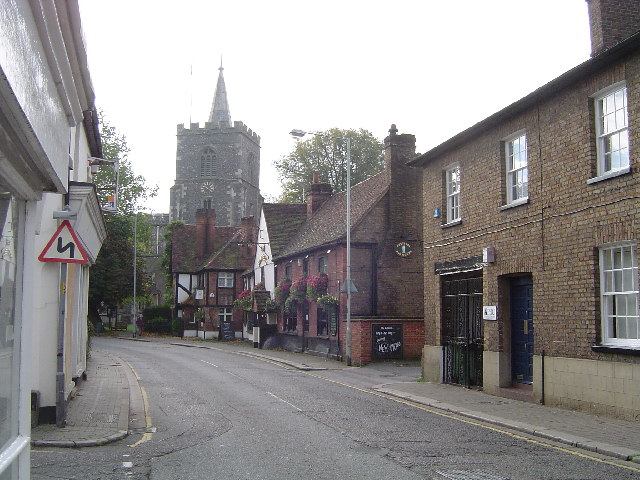
Rickmansworth
Rickmansworth (), a town in south-west Hertfordshire, England, is located approximatly 17 miles (27 km) north-west of central London, 5 miles (8 km) south...
Nearby Amenities
Located within 500m of 51.631464,-0.46667074Have you been to The Grove?
Leave your review of The Grove below (or comments, questions and feedback).