Barrow Hill

Hill, Mountain in Lincolnshire North Kesteven

England

Barrow Hill

Aswarby: aerial 2021 (1)
Aswarby: aerial 2021 (1) Credit: Chris

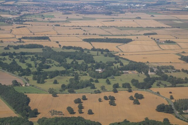
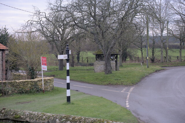
Barrow Hill is a small village located in Lincolnshire, England. Situated on a hill, it offers panoramic views of the surrounding countryside. Despite its name, Barrow Hill does not have a mountain but rather a modest hill that adds to its charm.

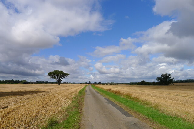
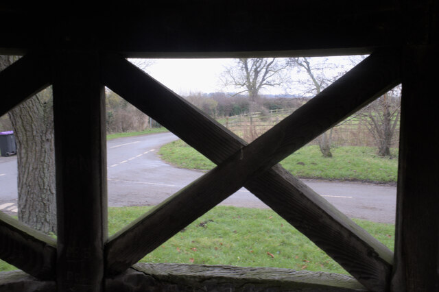
The village is known for its picturesque setting and peaceful atmosphere. It is surrounded by lush green fields and meadows, creating a tranquil environment for residents and visitors alike. The hill itself is covered with grass and dotted with wildflowers, making it a popular spot for picnics and leisurely walks.

Barrow Hill is rich in history, with evidence of human settlement dating back to prehistoric times. The area has been inhabited for thousands of years, and remnants of ancient burial mounds can still be found on the hill. These barrows, as they are locally known, are a testament to the village's long-standing heritage.

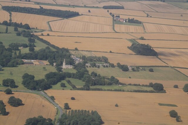
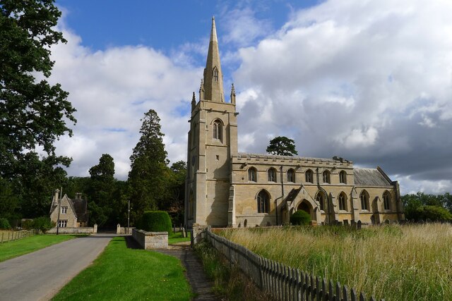
The village itself is home to a small community, with a handful of houses and a local pub. The pub serves as a gathering place for residents and visitors, offering a warm and friendly atmosphere. It is also a hub for social events and celebrations, bringing the community together.

Barrow Hill is a hidden gem in Lincolnshire, offering a peaceful retreat from the hustle and bustle of modern life. Its idyllic setting, rich history, and friendly community make it an ideal destination for those seeking a tranquil escape in the heart of the English countryside.

If you have any feedback on the listing, please let us know in the comments section below.
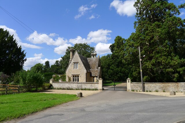
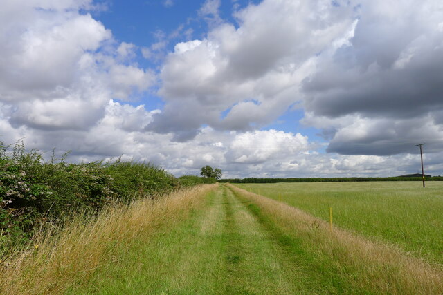
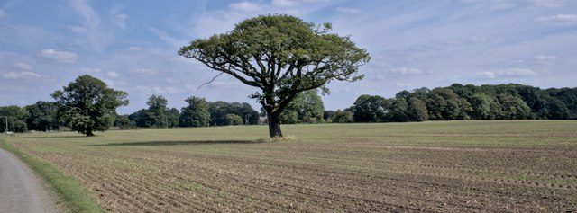
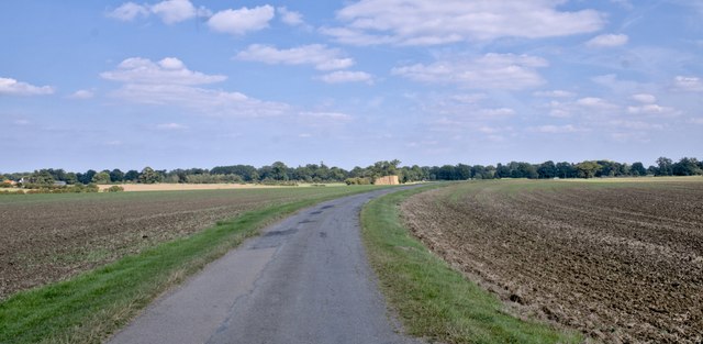
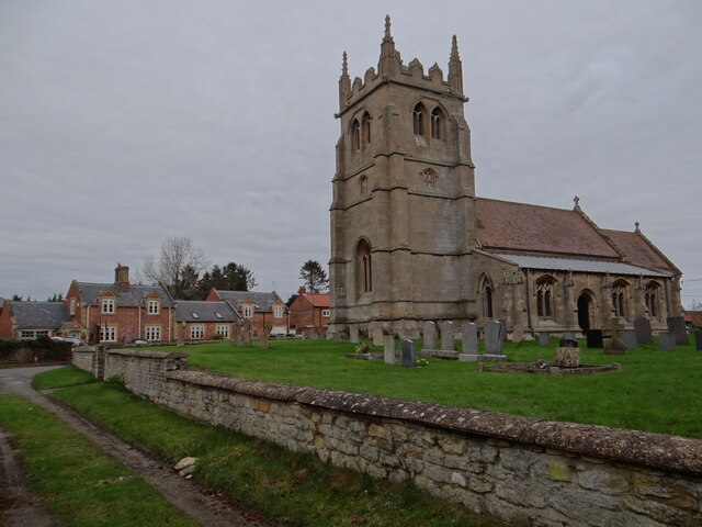
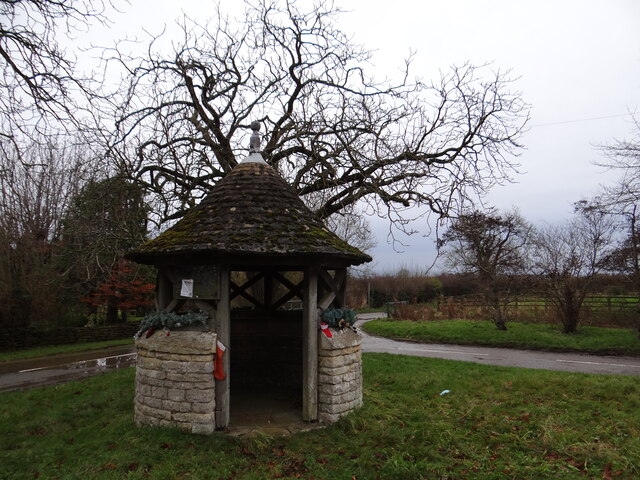
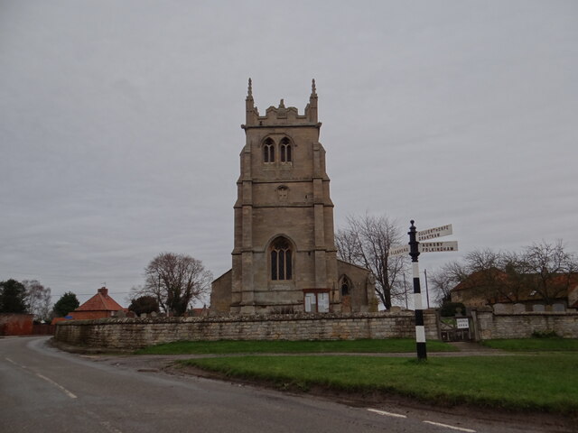
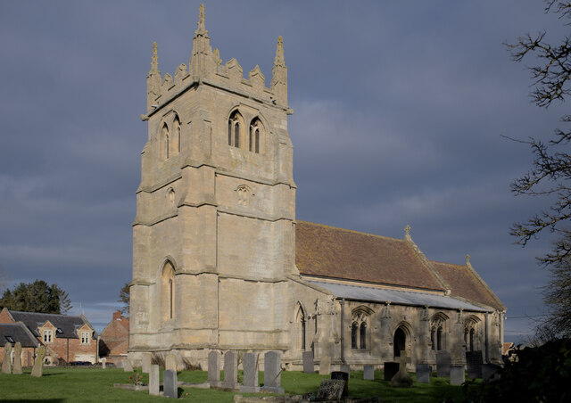
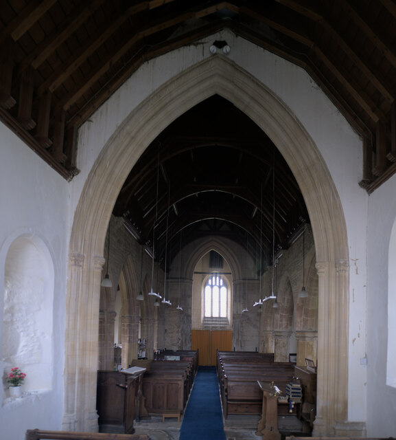
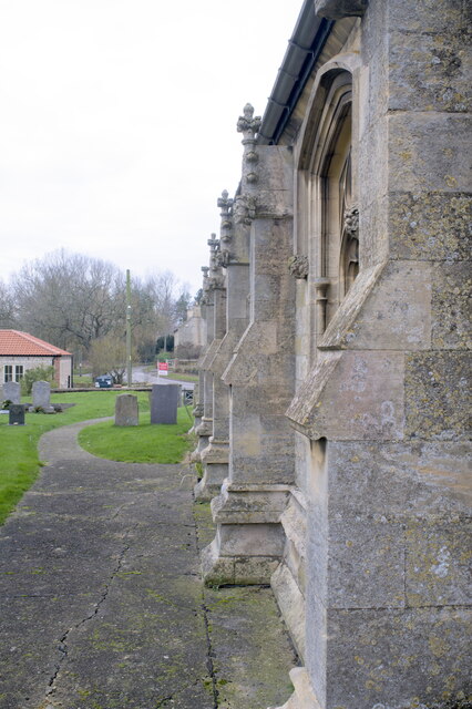
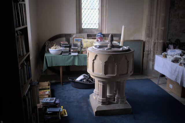
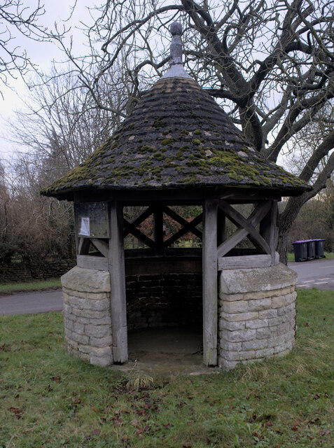
Barrow Hill Images

Images are sourced within 2km of 52.957112/-0.42738569 or Grid Reference TF0541. Thanks to Geograph Open Source API. All images are credited.

Aswarby: aerial 2021 (1)
Aswarby: aerial 2021 (2)
The road to Aunsby In the Southern Lincolnshire Edge National Character Area <span class="nowrap"><a title="https://publications.naturalengland.org.uk/file/6753160429305856" rel="nofollow ugc noopener" href="https://publications.naturalengland.org.uk/file/6753160429305856">Link</a><img style="margin-left:2px;" alt="External link" title="External link - shift click to open in new window" src="https://s1.geograph.org.uk/img/external.png" width="10" height="10"/></span> . Wide open farming landscape on the dip slope of the Jurassic escarpment
The road to Aunsby
In the Southern Lincolnshire Edge National Character Area LinkExternal link . Wide open farming landscape on the dip slope of the Jurassic escarpment
Church of St Denys, Aswarby Listed Grade I. 12th century, with 14th and 15th century alterations and 19th century restoration.  George Bass, an early explorer of Australia after whom the Bass Straight is named, was born in the village and baptised in the church.
Church of St Denys, Aswarby
Listed Grade I. 12th century, with 14th and 15th century alterations and 19th century restoration. George Bass, an early explorer of Australia after whom the Bass Straight is named, was born in the village and baptised in the church.
South Lodge, Main Street, Aswarby Listed Grade II, mid 19th century. Lodge to the former Aswarby Hall.
South Lodge, Main Street, Aswarby
Listed Grade II, mid 19th century. Lodge to the former Aswarby Hall.
Field track east of Aswarby
Standard trees Two oaks, standing in a wheatfield.  This used to be parkland when I was younger, and these trees sheltered sheep and deer.
Standard trees
Two oaks, standing in a wheatfield. This used to be parkland when I was younger, and these trees sheltered sheep and deer.
The road to Aswarby
The road to Aswarby
Church Open! St Mary and All Saints Church in Swarby.

A sign on the gate part way along the wall reads 'Church Open'.

Bang on 12:00 noon by my watch as my camera is still in British Summer Time!
Church Open!
St Mary and All Saints Church in Swarby. A sign on the gate part way along the wall reads 'Church Open'. Bang on 12:00 noon by my watch as my camera is still in British Summer Time!
Festive transport "hub" Ideal transport "hub" for a small settlement - and tastefully decorated too.  Anti-covid/delta/omicron measures include lots of fresh air and a physical reminder of what a 2m diameter circle really looks like so you can stay apart the requisite distance.

The only downside is that this is Christmas Day and there's no bus service running.
Festive transport "hub"
Ideal transport "hub" for a small settlement - and tastefully decorated too. Anti-covid/delta/omicron measures include lots of fresh air and a physical reminder of what a 2m diameter circle really looks like so you can stay apart the requisite distance. The only downside is that this is Christmas Day and there's no bus service running.
It's Jesus' day! The sign on the gate reads 'Church Open'.  On Christmas Day 2021, Jesus' free gift is open all year round!


'Jesus answered, “I am the way and the truth and the life. No one comes to the Father except through me."'  John 14:6
It's Jesus' day!
The sign on the gate reads 'Church Open'. On Christmas Day 2021, Jesus' free gift is open all year round! 'Jesus answered, “I am the way and the truth and the life. No one comes to the Father except through me."' John 14:6
St Mary and All Saints' church, Swarby A lovely grade II* church in the low sunlight of a winter afternoon.

See <span class="nowrap"><a title="https://historicengland.org.uk/listing/the-list/list-entry/1147542" rel="nofollow ugc noopener" href="https://historicengland.org.uk/listing/the-list/list-entry/1147542">Link</a><img style="margin-left:2px;" alt="External link" title="External link - shift click to open in new window" src="https://s1.geograph.org.uk/img/external.png" width="10" height="10"/></span>.
St Mary and All Saints' church, Swarby
A lovely grade II* church in the low sunlight of a winter afternoon. See LinkExternal link.
St Mary and All Saints' church, Chancel Arch The view from the Altar, looking through the chancel arch into the nave
St Mary and All Saints' church, Chancel Arch
The view from the Altar, looking through the chancel arch into the nave
St Mary and All Saints' church, A row of buttresses The south side of the church.
St Mary and All Saints' church, A row of buttresses
The south side of the church.
St Mary and All Saints' church, The Font Bric-a-brac surrounds the font, as these are items offered for sale to support the work of the church.
St Mary and All Saints' church, The Font
Bric-a-brac surrounds the font, as these are items offered for sale to support the work of the church.
Former Well Head The description comes direct from the Historic England listing.  This is a grade II listed structure - <span class="nowrap"><a title="https://historicengland.org.uk/listing/the-list/list-entry/1061787" rel="nofollow ugc noopener" href="https://historicengland.org.uk/listing/the-list/list-entry/1061787">Link</a><img style="margin-left:2px;" alt="External link" title="External link - shift click to open in new window" src="https://s1.geograph.org.uk/img/external.png" width="10" height="10"/></span>
Former Well Head
The description comes direct from the Historic England listing. This is a grade II listed structure - LinkExternal link
Village centre The road-meet in Swarby, with fingerpost and former village pump-house (<a href="https://www.geograph.org.uk/photo/7073090">TF0440 : Former Well Head</a>)
Village centre
The road-meet in Swarby, with fingerpost and former village pump-house (TF0440 : Former Well Head)
The view from the well-house Looking out from the <a href="https://www.geograph.org.uk/photo/7073090">TF0440 : Former Well Head</a>.
The view from the well-house
Looking out from the TF0440 : Former Well Head.
Show me another place!

Barrow Hill is located at Grid Ref: TF0541 (Lat: 52.957112, Lng: -0.42738569)

Administrative County: Lincolnshire

District: North Kesteven

Police Authority: Lincolnshire

What 3 Words

///unopposed.invisible.soup. Near Sleaford, Lincolnshire

Nearby Locations

Barrow Hill

Related Wikis

Aswarby and Swarby

Aswarby and Swarby is a civil parish in the North Kesteven district of Lincolnshire, England. Aswarby (pronounced locally as "as-r-bee") is the ecclesiastical...

Swarby

Swarby is a village and former civil parish in the North Kesteven district of Lincolnshire, England, approximately 3 miles (5 km) south-southwest of Sleaford...

Aswarby

Aswarby () is a village in the civil parish of Aswarby and Swarby, in the North Kesteven district of Lincolnshire, England. It is 3.5 miles (5.6 km) south...

Silk Willoughby

Silk Willoughby is a village and civil parish in the North Kesteven district of Lincolnshire, England. The population of the civil parish at the 2011 census...

Aswarby and Scredington railway station

Aswarby and Scredington railway station was a station close to Scredington, Lincolnshire on the Great Northern Railway Bourne and Sleaford railway. It...

Osbournby

Osbournby (locally pronounced Ozzenby or Ossenby) is a small village and civil parish in the North Kesteven district of Lincolnshire, England. The population...

Quarrington, Lincolnshire

Quarrington is a village and former civil parish, now part of the civil parish of Sleaford, in the North Kesteven district of Lincolnshire, England. The...

St Botolph's Church, Quarrington

St Botolph's Church is an Anglican church in Quarrington in Lincolnshire, England. The area has been settled since at least the Anglo-Saxon period, and...

Nearby Amenities

Located within 500m of 52.957112,-0.42738569
Bus Stop
Swarby Lane
Naptan AtcoCode: 270000008975
Naptan Bearing: SE
Naptan CommonName: Swarby Lane
Naptan Indicator: opp
Naptan Landmark: Swarby Lane
Naptan NaptanCode: lingwjwj
Naptan Street: A15
Naptan Verified: no
Source: naptan_import
Lat/Long: 52.9545908/-0.4309129
Bus Stop
Swarby Lane
Naptan AtcoCode: 2700LSLE1896
Naptan Bearing: NW
Naptan CommonName: Swarby Lane
Naptan Indicator: adj
Naptan Landmark: Swarby Lane
Naptan Street: A15
Naptan Verified: no
Source: naptan_import
Lat/Long: 52.9547012/-0.4311024
Barrow Hill Farm
Place: farm
Source: Bing
Lat/Long: 52.9571103/-0.4255718
Barrow Hill
Place: locality
Source: Bing
Lat/Long: 52.9575141/-0.4288294
Hart's Lodge
Place: isolated_dwelling
Source: Bing
Lat/Long: 52.9546694/-0.4315009
The data included in this document is from www.openstreetmap.org. The data is made available under ODbL.

Have you been to Barrow Hill?

Leave your review of Barrow Hill below (or comments, questions and feedback).