Woodcock Hill

Hill, Mountain in Middlesex

England

Woodcock Hill

Springwell Lake  Maple Cross The historic map was created before this lake was dug as a gravel pit.This area of the River Colne has a large number of lakes all attractive to birdlife.
Springwell Lake Maple Cross Credit: Jack Hill

Woodcock Hill is a prominent geographical feature located in Middlesex, England. Situated in the southwestern part of the county, it is classified as a hill rather than a mountain, as its elevation falls below the threshold for mountain classification. However, it still stands tall relative to the surrounding landscape.

Rising to an impressive height of approximately 140 meters (460 feet) above sea level, Woodcock Hill offers picturesque views of the surrounding countryside. Covered in lush green vegetation, it is a popular destination for nature enthusiasts and hikers alike.

The hill is located near the village of Ruislip, which is known for its rich history and scenic landscapes. Woodcock Hill itself is believed to have been formed during the last Ice Age, when glaciers shaped the land. Over time, weathering and erosion have further shaped the hill, resulting in its current distinctive appearance.

The hill is home to a diverse range of flora and fauna, including various species of wildflowers, trees, and birds such as woodcocks, after which the hill is named. It offers a peaceful and tranquil environment for those seeking a respite from the bustling city life of London, which lies just a few miles to the east.

Woodcock Hill serves as a popular recreational spot for locals and visitors alike, providing opportunities for walking, hiking, and enjoying the beauty of nature. Whether it's for a leisurely stroll or a more challenging hike, the hill offers a chance to appreciate the natural beauty of Middlesex and enjoy stunning panoramic views of the surrounding area.

If you have any feedback on the listing, please let us know in the comments section below.

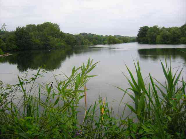
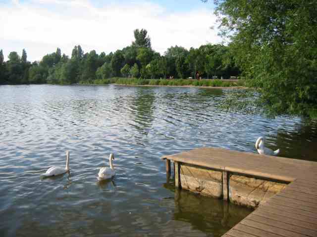
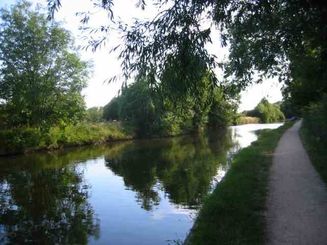
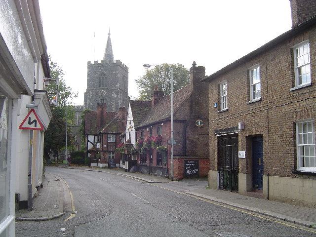
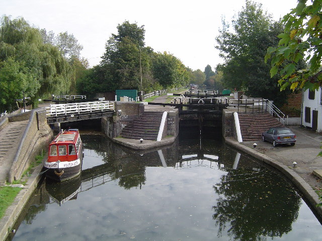
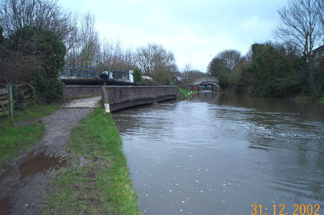
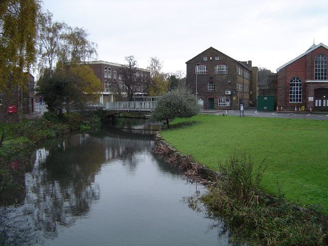
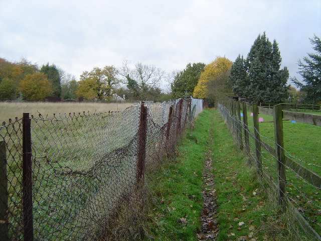
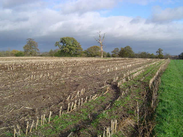
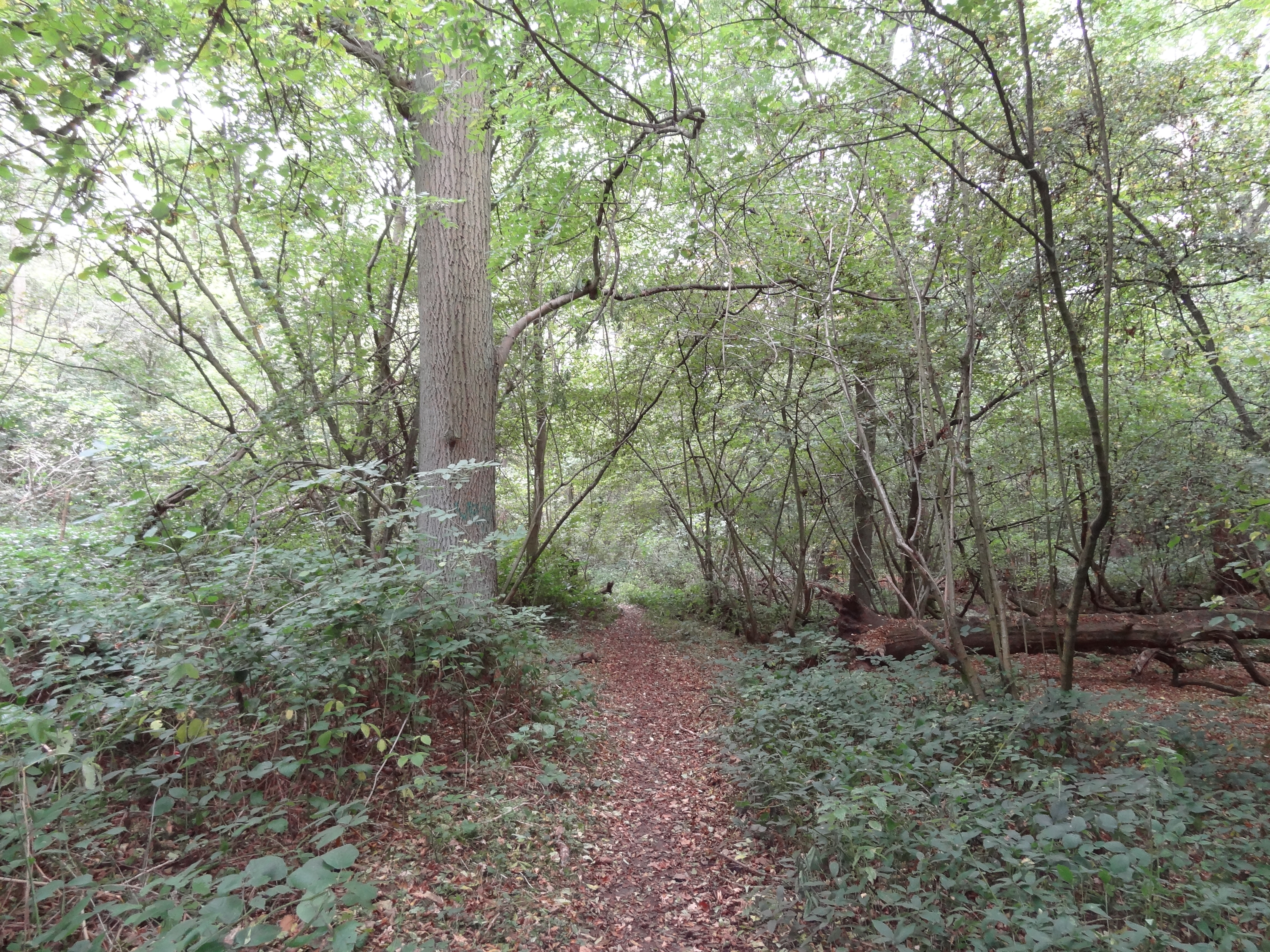
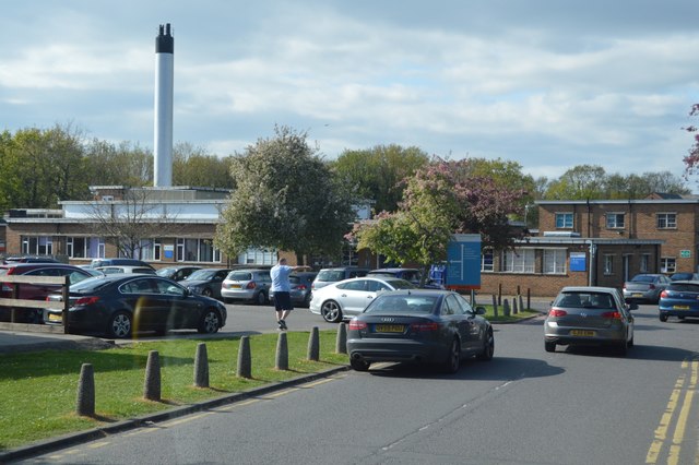
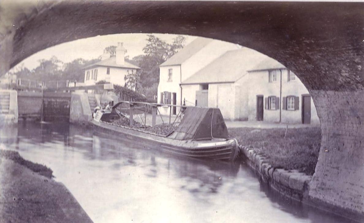
Woodcock Hill Images

Images are sourced within 2km of 51.619081/-0.47419505 or Grid Reference TQ0592. Thanks to Geograph Open Source API. All images are credited.

Springwell Lake  Maple Cross The historic map was created before this lake was dug as a gravel pit.This area of the River Colne has a large number of lakes all attractive to birdlife.
Springwell Lake Maple Cross
The historic map was created before this lake was dug as a gravel pit.This area of the River Colne has a large number of lakes all attractive to birdlife.
Batchwood  Lake at the Aquadrome  Rickmansworth This is the last of the group of lakes which spread 
southwards along the route of the River Colne
Batchwood Lake at the Aquadrome Rickmansworth
This is the last of the group of lakes which spread southwards along the route of the River Colne
Grand Union Canal  Rickmansworth The aquadrome park is just to the right of the tow path
Grand Union Canal Rickmansworth
The aquadrome park is just to the right of the tow path
Mount Vernon Hospital  Northwood This building looks recent but I don't know its function
Mount Vernon Hospital Northwood
This building looks recent but I don't know its function
Mount Vernon Hospital  Northwood By contrast this doctor's practice is a building erected perhaps in 1940
Mount Vernon Hospital Northwood
By contrast this doctor's practice is a building erected perhaps in 1940
Mini Roundabout at Harefield This is the town centre with the green visible across the road. Harefield hospital is the location for the 
heart transplant pioneers.
Mini Roundabout at Harefield
This is the town centre with the green visible across the road. Harefield hospital is the location for the heart transplant pioneers.
Kings Arms Pub at Harefield the Mini roundabout is just to the right
Kings Arms Pub at Harefield
the Mini roundabout is just to the right
Horses at Colney Farm Harefield This farm is at the edge of the village facing west
over the Colne Valley
Horses at Colney Farm Harefield
This farm is at the edge of the village facing west over the Colne Valley
Rickmansworth: Saints and Sinners The tower and spire of St Marys Church overlook The Feathers Public House in this view taken looking southwards in Church Street.
Rickmansworth: Saints and Sinners
The tower and spire of St Marys Church overlook The Feathers Public House in this view taken looking southwards in Church Street.
Grand Union Canal: Lock Number 81: Batchworth Lock Lock Number 81 on the Grand Union Canal is the one on the right, as viewed from the London Road overbridge. The lock on the left is Salter's Cut Lock leading to a short stub of canal along the River Chess. It was built in 1805 by the brewer Samuel Salter to enable access by canal to his brewery, and was later used to allow boats to reach the Rickmansworth gasworks. Compare this image with Neil's <a href="https://www.geograph.org.uk/photo/460073">TQ0694 : Batchworth Lock No 81, Grand Union Canal, with side lock</a> taken from more or less the same location in 1977.
Grand Union Canal: Lock Number 81: Batchworth Lock
Lock Number 81 on the Grand Union Canal is the one on the right, as viewed from the London Road overbridge. The lock on the left is Salter's Cut Lock leading to a short stub of canal along the River Chess. It was built in 1805 by the brewer Samuel Salter to enable access by canal to his brewery, and was later used to allow boats to reach the Rickmansworth gasworks. Compare this image with Neil's TQ0694 : Batchworth Lock No 81, Grand Union Canal, with side lock taken from more or less the same location in 1977.
Grand Union Canal: at Springwell, near Rickmansworth The River Colne flows into and out of the Grand Union Canal in several locations downstream of Rickmansworth. Here one of the braids of the Colne in  spate is pictured joining the canal from under the towpath bridge. The distant bridge over the canal is the Springwell Lane road bridge with the lock gates just visible through the bridge arch.
Grand Union Canal: at Springwell, near Rickmansworth
The River Colne flows into and out of the Grand Union Canal in several locations downstream of Rickmansworth. Here one of the braids of the Colne in spate is pictured joining the canal from under the towpath bridge. The distant bridge over the canal is the Springwell Lane road bridge with the lock gates just visible through the bridge arch.
Rickmansworth Water Works Owned by Three Valleys Water, themselves owned by Veolia, here viewed from the London Road bridge. <span class="nowrap"><a title="http://www.veoliawater.co.uk/" rel="nofollow ugc noopener" href="http://www.veoliawater.co.uk/">Link</a><img style="margin-left:2px;" alt="External link" title="External link - shift click to open in new window" src="https://s1.geograph.org.uk/img/external.png" width="10" height="10"/></span> for the Veolia Water website.
Rickmansworth Water Works
Owned by Three Valleys Water, themselves owned by Veolia, here viewed from the London Road bridge. LinkExternal link for the Veolia Water website.
Rickmansworth: Public footpath, Woodcock Hill Viewed looking westwards towards Harefield Road.
Rickmansworth: Public footpath, Woodcock Hill
Viewed looking westwards towards Harefield Road.
Rickmansworth: Bishop's Wood Country Park Fine deciduous woodland in this publicly accessible Country Park managed by Three Rivers District Council.
Rickmansworth: Bishop's Wood Country Park
Fine deciduous woodland in this publicly accessible Country Park managed by Three Rivers District Council.
Rickmansworth: Bishop's Wood Country Park Silver birch woodland in this publicly accessible Country Park managed by Three Rivers District Council.
Rickmansworth: Bishop's Wood Country Park
Silver birch woodland in this publicly accessible Country Park managed by Three Rivers District Council.
Rickmansworth: Moor Park Golf Course Viewed looking north westwards from the access drive to Moor Park Mansion. <span class="nowrap"><a title="http://www.moorparkgc.co.uk/for" rel="nofollow ugc noopener" href="http://www.moorparkgc.co.uk/for">Link</a><img style="margin-left:2px;" alt="External link" title="External link - shift click to open in new window" src="https://s1.geograph.org.uk/img/external.png" width="10" height="10"/></span> the Moor Park Golf Club website.
Rickmansworth: Moor Park Golf Course
Viewed looking north westwards from the access drive to Moor Park Mansion. LinkExternal link the Moor Park Golf Club website.
Harefield: Park Wood, Hill End Along the route of the Hillingdon Trail footpath, the function of the metal gate is lost in the mists of time...
Harefield: Park Wood, Hill End
Along the route of the Hillingdon Trail footpath, the function of the metal gate is lost in the mists of time...
Harefield: Stubble field, Hill End Viewed looking north eastwards along the Hillingdon Trail footpath.
Harefield: Stubble field, Hill End
Viewed looking north eastwards along the Hillingdon Trail footpath.
Show me another place!

Woodcock Hill is located at Grid Ref: TQ0592 (Lat: 51.619081, Lng: -0.47419505)

Unitary Authority: Hillingdon

Police Authority: Metropolitan

What 3 Words

///likely.beside.lively. Near Harefield, London

Related Wikis

Old Park Wood

Old Park Wood is a 16.7-hectare (41-acre) Site of Special Scientific Interest in Harefield in the London Borough of Hillingdon. The south-east part is...

Uxbridge power station

Uxbridge power station supplied electricity to the District of Uxbridge and the surrounding area from 1902 to 1962. The power station was built by the...

Harefield Academy

Harefield Academy is a secondary school and sixth form in Uxbridge, London. Located on the site of the former community school, John Penrose School, which...

Harefield Hospital

Harefield Hospital is a health institution in Harefield, London Borough of Hillingdon, England. It is managed by the Guy's and St Thomas' NHS Foundation...

Stocker's Lake

Stocker's Lake is an old flooded gravel pit of approx 90 acres (37.5ha) at Rickmansworth, Hertfordshire, England, within the Colne Valley Regional Park...

Batchworth

Batchworth was once a hamlet and is now a civil parish and part of Rickmansworth in Hertfordshire. The parish of Batchworth was created on 1 April 2017...

Rickmansworth Aquadrome

Rickmansworth Aquadrome is a 41 hectares (101 acres) public park and Local Nature Reserve in Rickmansworth in Hertfordshire. It is owned and managed by...

Harefield

Harefield is a village in the London Borough of Hillingdon, England, 17 miles (27 km) northwest of Charing Cross near Greater London's boundary with Buckinghamshire...

Nearby Amenities

Located within 500m of 51.619081,-0.47419505
Bus Stop
Hillside
Naptan AtcoCode: 210021802430
Naptan Bearing: SE
Naptan CommonName: Hillside
Naptan Crossing: Industrial Estate
Naptan Indicator: o/s
Naptan Landmark: Industrial Estate
Naptan NaptanCode: hrtgwptj
Naptan ShortCommonName: NA
Naptan Street: Harefield Road
Naptan Verified: no
Public Transport: platform
Source: naptan_import
Lat/Long: 51.6229559/-0.4706335
Bus Stop
Rose & Crown PH
Naptan AtcoCode: 210021802440
Naptan Bearing: S
Naptan BusStopType: CUS
Naptan CommonName: Rose & Crown PH
Naptan Indicator: opp
Naptan Landmark: Unknown
Naptan NaptanCode: hrtajgma
Naptan ShortCommonName: NA
Naptan Street: Harefield Road
Naptan Verified: no
Public Transport: platform
Source: naptan_import
Lat/Long: 51.6203914/-0.4690604
Bus Stop
Rose & Crown PH
Naptan AtcoCode: 210021804280
Naptan Bearing: N
Naptan CommonName: Rose & Crown PH
Naptan Crossing: Hillside
Naptan Indicator: o/s
Naptan Landmark: Hillside
Naptan NaptanCode: hrtagwgd
Naptan ShortCommonName: NA
Naptan Street: Woodcock Hill
Naptan Verified: no
Public Transport: platform
Source: naptan_import
Lat/Long: 51.6204219/-0.4692571
Bus Stop
Hillside
Bench: no
Bin: no
Lit: no
Naptan AtcoCode: 210021804290
Naptan Bearing: NW
Naptan CommonName: Hillside
Naptan Crossing: opp Industrial Estate
Naptan Indicator: opp
Naptan Landmark: opp Industrial Estate
Naptan NaptanCode: hrtgwptm
Naptan ShortCommonName: NA
Naptan Street: Harefield Road
Naptan Verified: no
Public Transport: platform
Shelter: no
Source: naptan_import
Tactile Paving: no
Lat/Long: 51.6230861/-0.4709594
Barrier: stile
Lat/Long: 51.6204689/-0.479373
Barrier: stile
Lat/Long: 51.6216181/-0.4763462
Crossing
Lat/Long: 51.6206336/-0.4692782
Barrier: stile
Lat/Long: 51.6215548/-0.4721116
Barrier: stile
Lat/Long: 51.619276/-0.472736
Note: Additional node marks deviation of Low Emission Zone.
Lat/Long: 51.6190596/-0.472734
Coal tax post
Historic: boundary_stone
Inscription: 24 & 25 VICT CAP 42
Material: iron
Note: Coal tax boundary marker 58
Lat/Long: 51.6189969/-0.4726976
Woodcock Hill
Place: hamlet
Lat/Long: 51.6204945/-0.4685229
The data included in this document is from www.openstreetmap.org. The data is made available under ODbL.

Have you been to Woodcock Hill?

Leave your review of Woodcock Hill below (or comments, questions and feedback).