Danes Hill

Hill, Mountain in Lincolnshire South Kesteven

England

Danes Hill

Road heading towards Vale Farm Looking south-eastward.
Road heading towards Vale Farm Credit: Peter Wood

Danes Hill is a prominent hill located in the county of Lincolnshire, England. Situated near the village of Waddington, it forms part of the Lincolnshire Wolds, an Area of Outstanding Natural Beauty. Standing at an elevation of approximately 168 meters (551 feet), it is one of the highest points in the region, offering breathtaking panoramic views of the surrounding countryside.

The hill is characterized by its gently sloping sides and grassy terrain, making it a popular destination for hikers, nature enthusiasts, and locals seeking a tranquil escape. Its location within the Lincolnshire Wolds provides ample opportunities for outdoor activities such as walking, cycling, and picnicking. The hill is also home to a variety of wildlife, including rabbits, hares, and an array of bird species.

Danes Hill holds historical significance, with evidence of Iron Age settlement discovered in the vicinity. The hill's name is believed to originate from the Danish Vikings who once inhabited the area during the early medieval period. Today, traces of their presence can still be seen in the form of earthworks and ancient burial mounds.

Visitors to Danes Hill can enjoy a network of well-maintained footpaths and trails, allowing them to explore the natural beauty of the surrounding landscape. On a clear day, the summit provides stunning views across the Lincolnshire countryside, including the distant Lincoln Cathedral. The hill offers a picturesque and peaceful retreat for those looking to connect with nature and experience the charm of rural Lincolnshire.

If you have any feedback on the listing, please let us know in the comments section below.
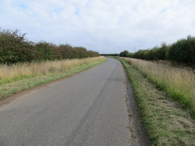
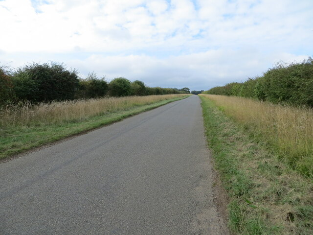
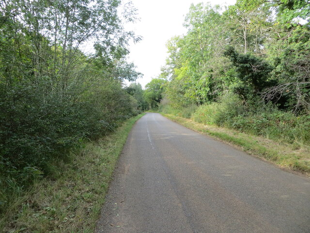
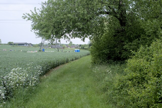
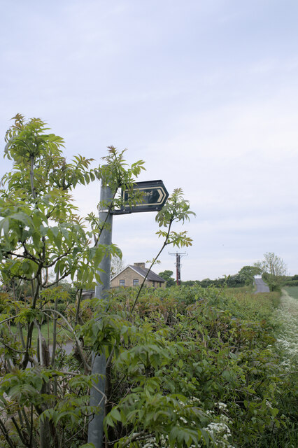
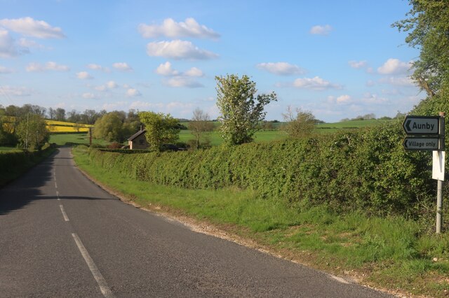
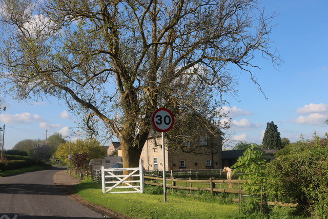
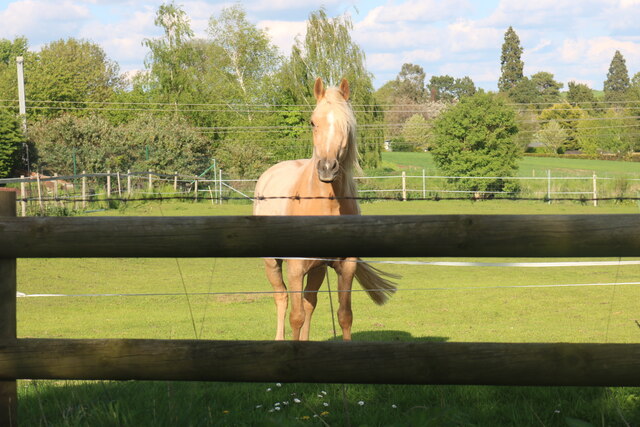
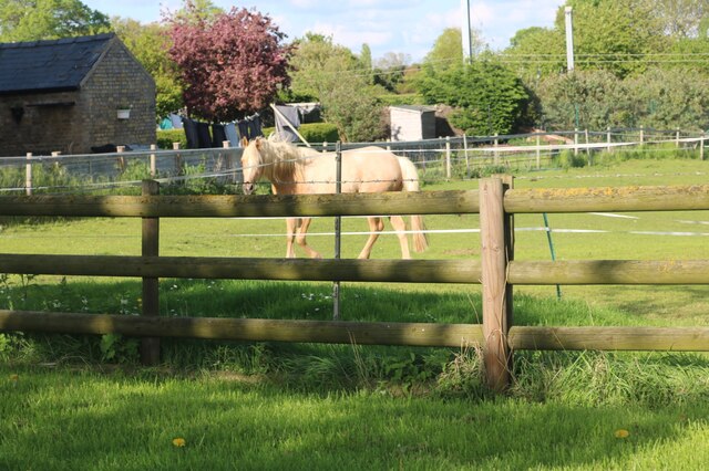
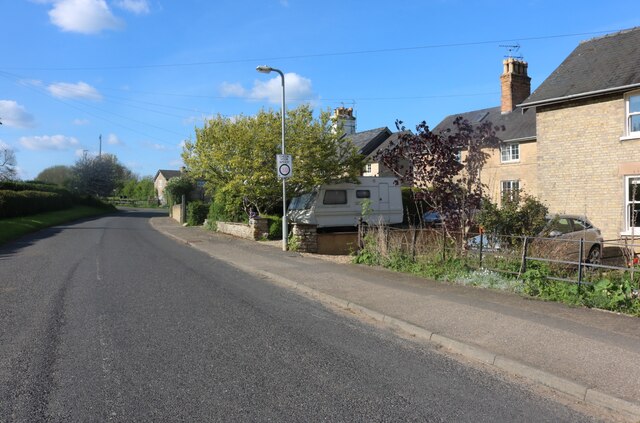
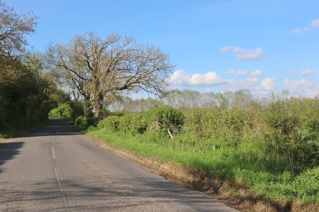
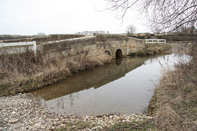
Danes Hill Images

Images are sourced within 2km of 52.723342/-0.47738757 or Grid Reference TF0215. Thanks to Geograph Open Source API. All images are credited.

Road heading towards Vale Farm Looking south-eastward.
Road heading towards Vale Farm
Looking south-eastward.
Road heading towards Little Warren and Castle Dyke Looking north-westward.
Road heading towards Little Warren and Castle Dyke
Looking north-westward.
Tree and hedge enclosed road at Little Warren Wood Looking north-westward.
Tree and hedge enclosed road at Little Warren Wood
Looking north-westward.
Restricted Byway Sections 47-50 of the 2000 Act introduce a new category of highway called 
the “restricted byway”. A restricted byway is defined as a highway over which 
the public have restricted byway rights, with or without the right to drive 
animals of any description.  This replaced the concept of a "road used as a public path".

This track is a restricted byway.  See <a href="https://www.geograph.org.uk/photo/7175487">TF0214 : Restricted Byway sign</a>.

A little further on is the camp for one of the wire-pulling bases used to re-string the 400kV line through Lincolnshire
Restricted Byway
Sections 47-50 of the 2000 Act introduce a new category of highway called the “restricted byway”. A restricted byway is defined as a highway over which the public have restricted byway rights, with or without the right to drive animals of any description. This replaced the concept of a "road used as a public path". This track is a restricted byway. See TF0214 : Restricted Byway sign. A little further on is the camp for one of the wire-pulling bases used to re-string the 400kV line through Lincolnshire
Criss-Cross Patterns against the sky of the wires and structure of a pylon, including (on the right) a pulling platform used for changing the wires.
Criss-Cross
Patterns against the sky of the wires and structure of a pylon, including (on the right) a pulling platform used for changing the wires.
Restricted Byway sign Sections 47-50 of the 2000 Act introduced a new category of highway called 
the “restricted byway”. A restricted byway is defined as a highway over which 
the public have restricted byway rights, with or without the right to drive 
animals of any description.  No motorised vehicles are permitted.
Restricted Byway sign
Sections 47-50 of the 2000 Act introduced a new category of highway called the “restricted byway”. A restricted byway is defined as a highway over which the public have restricted byway rights, with or without the right to drive animals of any description. No motorised vehicles are permitted.
Stamford Road, Aunby
Stamford Road, Careby
Horse in Careby He came right over to see me, but I couldn't get any closer as there is a barrier between there and the fence.
Horse in Careby
He came right over to see me, but I couldn't get any closer as there is a barrier between there and the fence.
Horse in Careby He walked straight over when he saw me but there were two sets of fences to stop him getting any closer.
Horse in Careby
He walked straight over when he saw me but there were two sets of fences to stop him getting any closer.
Stamford Road, Careby
Stamford Road south of Careby
Bridge and ford on B1176
Church of St Stephen, Careby
'East Coast' rail line near Carlby
Stream Valley near Carlby
Railway bridge
Railway bridge
Show me another place!

Danes Hill is located at Grid Ref: TF0215 (Lat: 52.723342, Lng: -0.47738757)

Administrative County: Lincolnshire

District: South Kesteven

Police Authority: Lincolnshire

What 3 Words

///records.consonant.took. Near Essendine, Rutland

Nearby Locations

Danes Hill Wicker Holt

Related Wikis

Aunby

Aunby is a village in the civil parish of Careby Aunby and Holywell, in the South Kesteven district of Lincolnshire, England. It is situated north from...

Careby Aunby and Holywell

Careby Aunby and Holywell is a civil parish in the district of South Kesteven, south-west Lincolnshire, in England. It stretches from the county border...

Ryhall Pasture and Little Warren Verges

Ryhall Pasture and Little Warren Verges is a 6.2-hectare (15-acre) biological Site of Special Scientific Interest north of the village of Ryhall. Little...

Careby

Careby is the principal village in the civil parish of Careby Aunby and Holywell, in the South Kesteven district of South Kesteven, Lincolnshire, England...

Nearby Amenities

Located within 500m of 52.723342,-0.47738757
Danes Hill
Place: locality
Source: Bing
Lat/Long: 52.7230767/-0.4775632
Ford: yes
Source: Bing
Lat/Long: 52.7209222/-0.4815857
Building: yes
Lat/Long: 52.719592/-0.4811935
The data included in this document is from www.openstreetmap.org. The data is made available under ODbL.

Have you been to Danes Hill?

Leave your review of Danes Hill below (or comments, questions and feedback).