Cockcrow Hill
Hill, Mountain in Surrey Runnymede
England
Cockcrow Hill
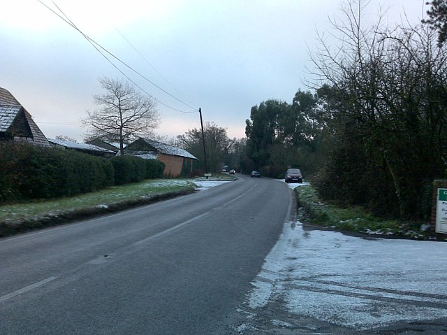
Cockcrow Hill is a picturesque hill located in the county of Surrey, England. It is part of the North Downs, a range of chalk hills that stretch across the southern part of the country. Standing at an elevation of around 150 meters (490 feet), Cockcrow Hill offers breathtaking panoramic views of the surrounding countryside.
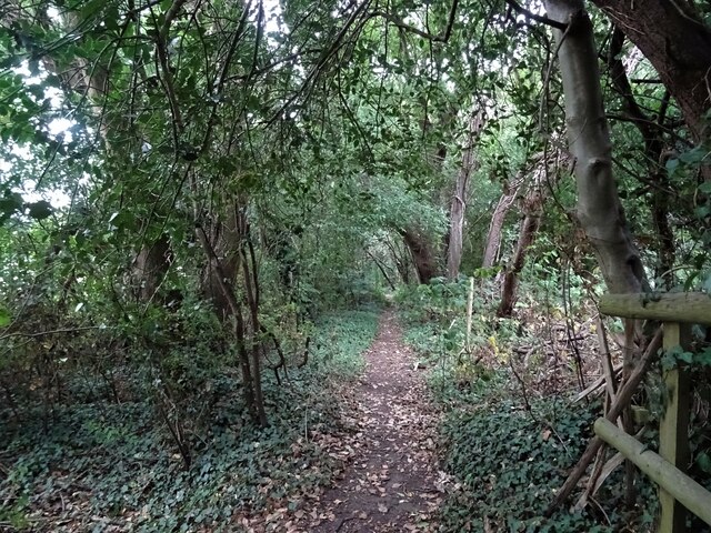
The hill is covered in lush greenery, with patches of woodland and open grassland. It is home to a diverse range of wildlife, including various species of birds, butterflies, and small mammals. The tranquility of the hill attracts nature enthusiasts and hikers, who can explore the numerous walking trails that wind their way through the area.
Cockcrow Hill is also steeped in history, with evidence of human habitation dating back thousands of years. Archaeological finds suggest that the hill was inhabited during the Neolithic period, and later during the Iron Age and Roman times. The remnants of ancient settlements and burial mounds can still be seen on the hill today, adding to its historical significance.
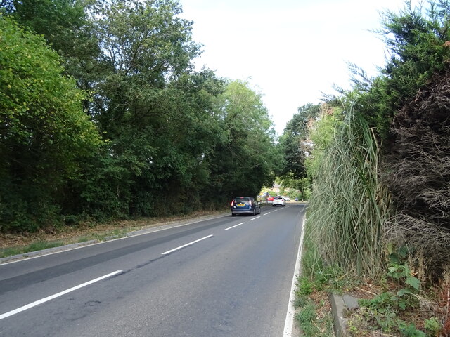
The hill is a popular destination for outdoor activities such as picnicking, kite flying, and photography. Its accessibility and proximity to nearby towns and villages make it a favorite spot for locals and visitors alike. Whether one seeks a peaceful retreat, a glimpse into the past, or simply a stunning vista, Cockcrow Hill is sure to captivate all who venture to its summit.
If you have any feedback on the listing, please let us know in the comments section below.
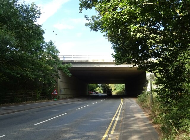
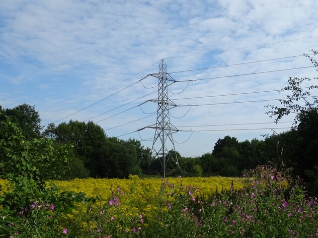
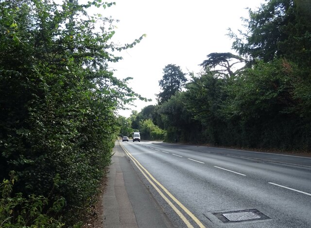
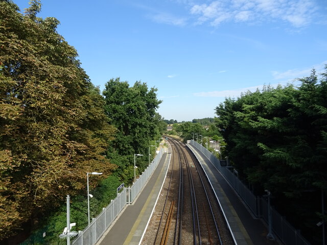
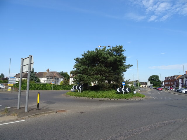
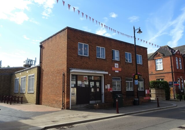
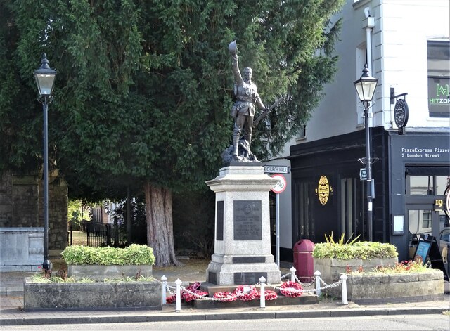
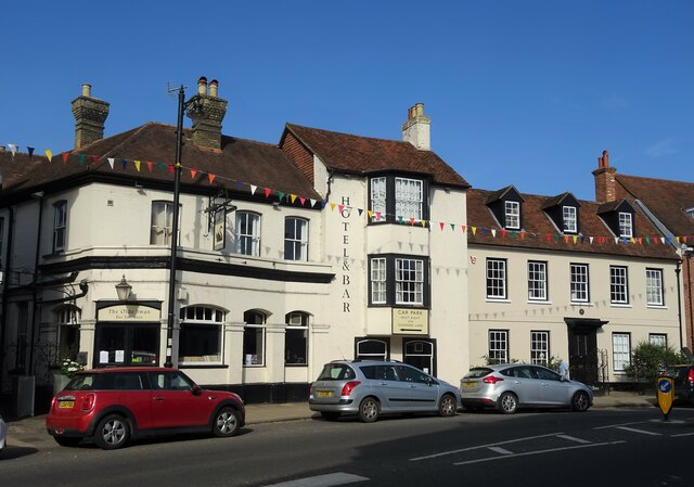
Cockcrow Hill Images
Images are sourced within 2km of 51.384139/-0.52235984 or Grid Reference TQ0266. Thanks to Geograph Open Source API. All images are credited.


Cockcrow Hill is located at Grid Ref: TQ0266 (Lat: 51.384139, Lng: -0.52235984)
Administrative County: Surrey
District: Runnymede
Police Authority: Surrey
What 3 Words
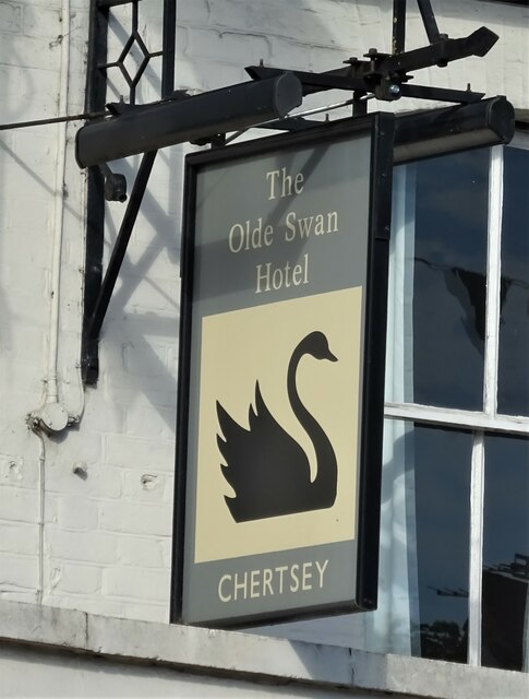
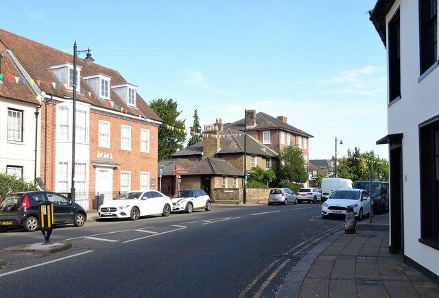
///visual.ahead.tens. Near Chertsey, Surrey
Nearby Locations
Related Wikis

Great Cockcrow Railway
The Great Cockcrow Railway is a 7+1⁄4 in (184 mm) gauge miniature railway located near Chertsey, Surrey, England. It is usually open on Sunday afternoons...

Salesian School, Chertsey
Salesian School is a split-site Roman Catholic comprehensive secondary school in Chertsey, Surrey. The two sites were originally a pair of single-sex education...
Hardwick Court Farm
Hardwick Court Farm, Hardwick Court when a manor, is a large farm with farmhouse in the west of Chertsey, Surrey, England and was first established during...

Sir William Perkins's School
Sir William Perkins's School is a private day school for girls aged 11 to 18 in Chertsey, Surrey, England. It is situated on 49,000 m2 of greenbelt land...
St Peter's Hospital, Chertsey
St Peter's Hospital is an NHS district general hospital in Chertsey, Surrey, England. It has 400 beds and a wide range of acute care services, including...
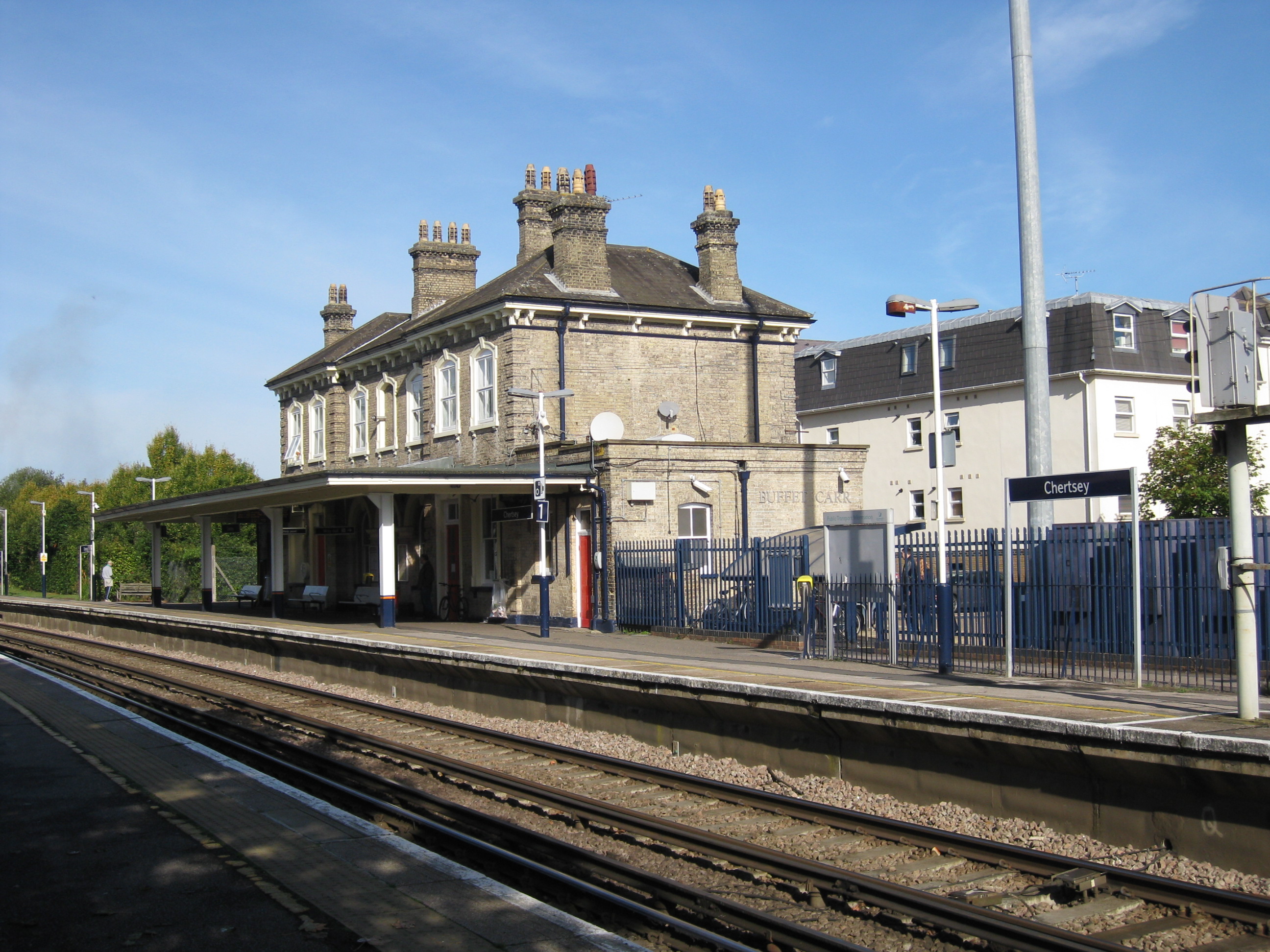
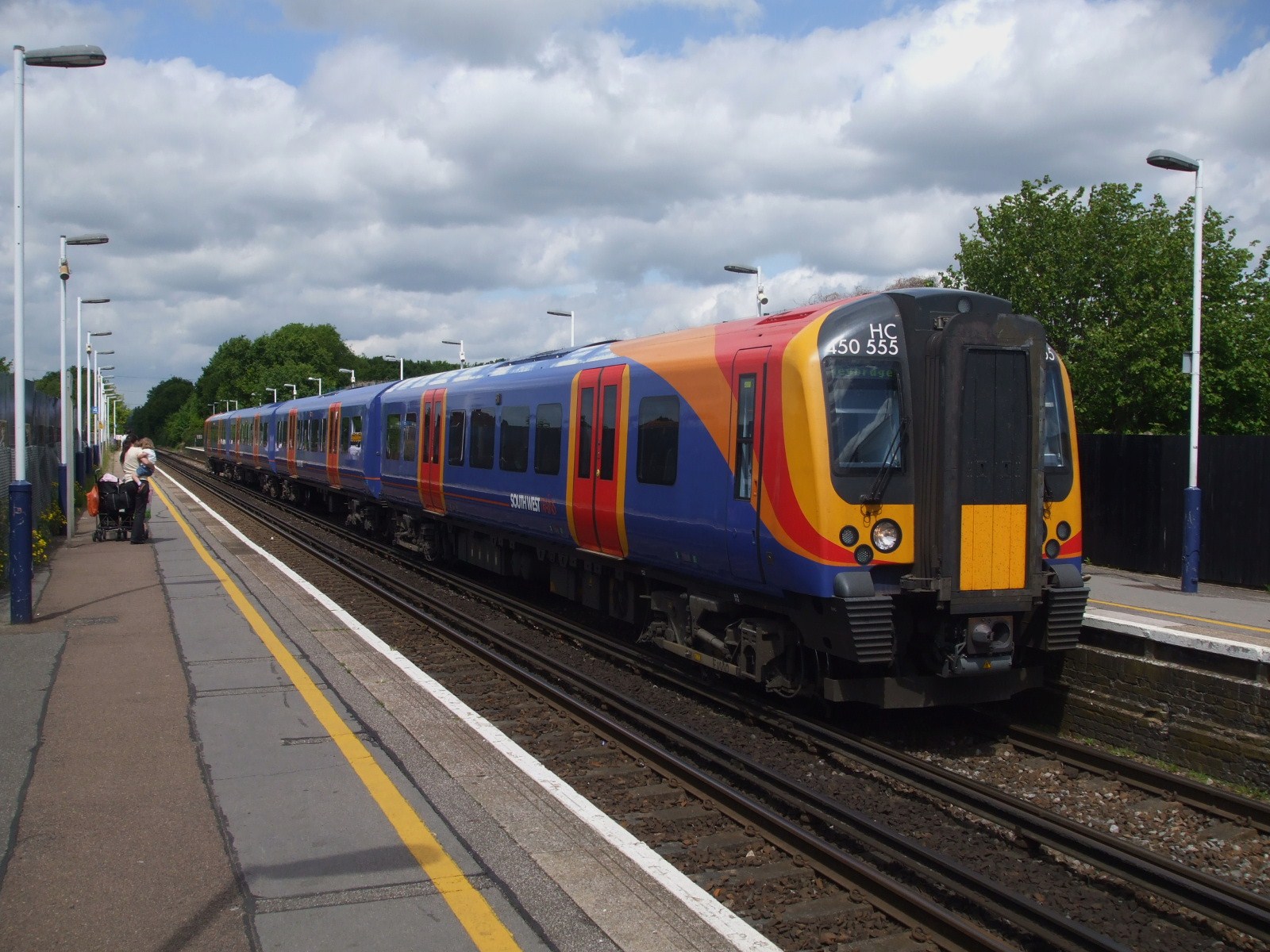
Chertsey railway station
Chertsey railway station serves the town of Chertsey in the Runnymede District of Surrey, England. It is on the Chertsey Loop Line and is operated by South...
Tara, Chertsey
Tara was a house on St Anns Hill, Chertsey, Surrey owned by The Who's drummer Keith Moon in the 1970s, but was demolished and replaced by a new home in...
Chertsey branch line
The Chertsey branch line connects Virginia Water station on the Waterloo to Reading main line to Weybridge station on the Waterloo to Woking main line...
Nearby Amenities
Located within 500m of 51.384139,-0.52235984Have you been to Cockcrow Hill?
Leave your review of Cockcrow Hill below (or comments, questions and feedback).