Juniper Hill
Hill, Mountain in Surrey Waverley
England
Juniper Hill
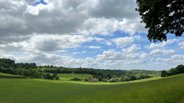
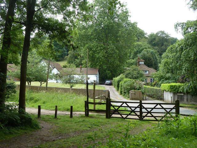
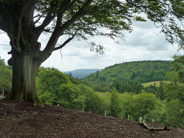
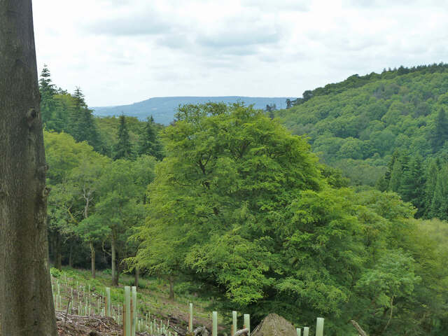
Juniper Hill is a picturesque hill located in Surrey, England. Situated in the southeastern part of the county, Juniper Hill is part of the North Downs, a range of chalk hills that stretches across Surrey and Kent. With an elevation of approximately 190 meters (620 feet), it offers stunning panoramic views of the surrounding countryside.
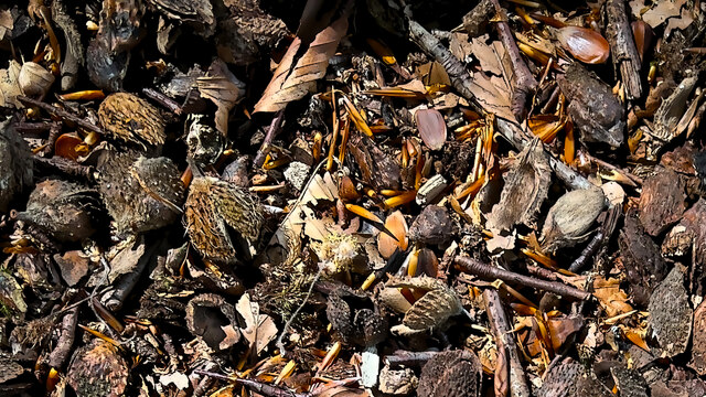
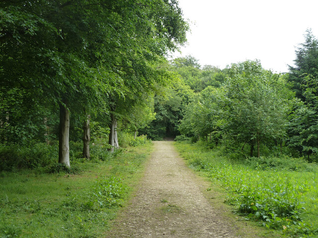
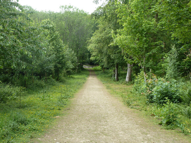
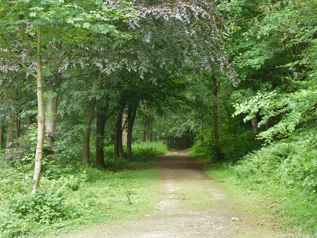
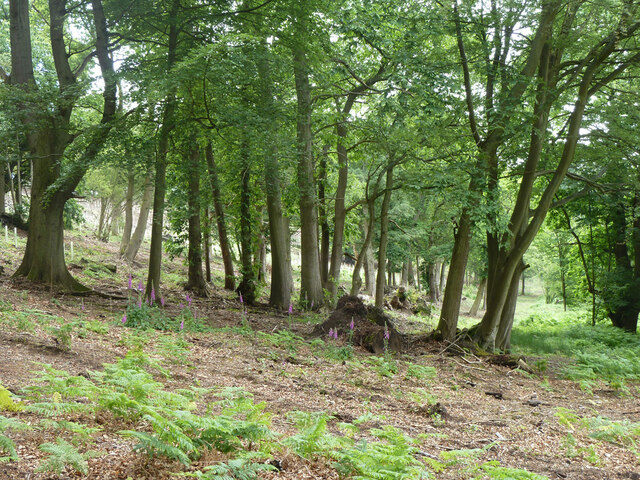
Covered in lush greenery, Juniper Hill is known for its abundant juniper bushes, which give the hill its name. These evergreen shrubs, with their needle-like leaves and blue-black berries, create a unique and beautiful landscape. The hill is also home to a variety of other flora and fauna, including wildflowers, butterflies, and numerous bird species.
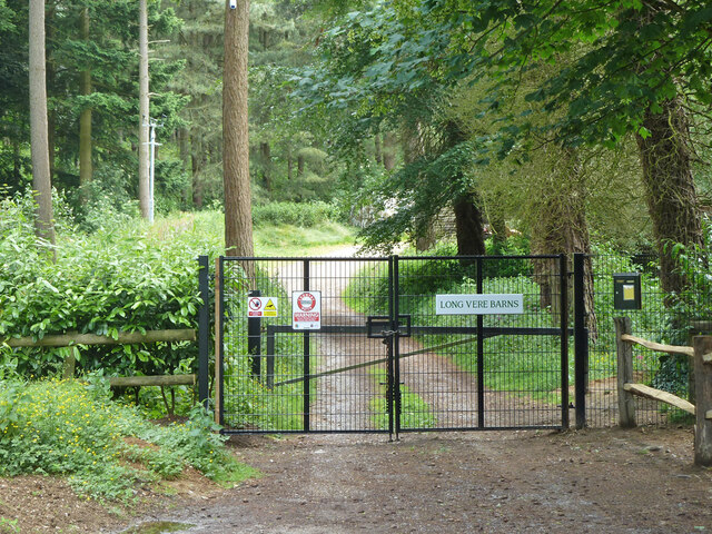
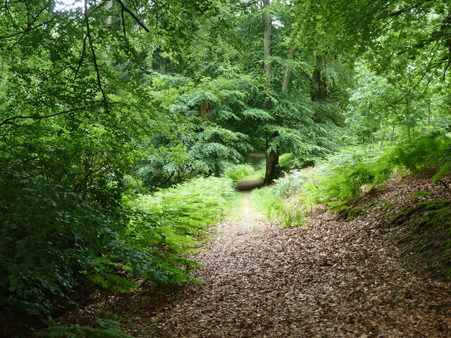
Juniper Hill is a popular spot for outdoor enthusiasts and nature lovers alike. It offers several walking and hiking trails that allow visitors to explore its natural beauty and enjoy the peaceful surroundings. The hill provides a serene escape from the hustle and bustle of city life, making it a favorite destination for those seeking tranquility and relaxation.
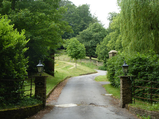
The surrounding area of Juniper Hill is rich in history and culture. Nearby, you will find charming villages, historic landmarks, and ancient archaeological sites. The hill is also within close proximity to other natural attractions, such as Box Hill and Leith Hill, offering visitors a chance to explore more of Surrey's natural wonders.
Overall, Juniper Hill in Surrey is a captivating destination that offers a blend of natural beauty, outdoor activities, and cultural exploration. Whether you are seeking a peaceful retreat or an adventurous hike, this hill provides a memorable experience for all who visit.
If you have any feedback on the listing, please let us know in the comments section below.
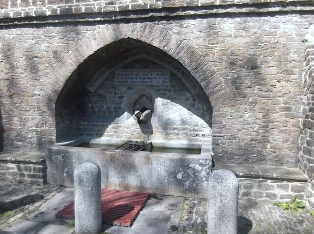
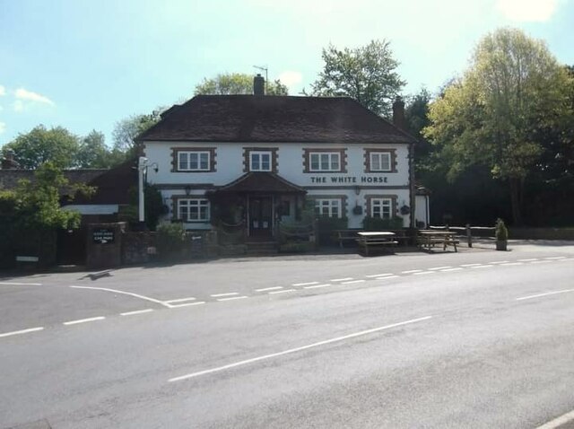
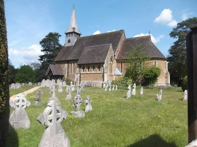
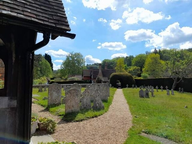
Juniper Hill Images
Images are sourced within 2km of 51.151513/-0.55917026 or Grid Reference TQ0040. Thanks to Geograph Open Source API. All images are credited.


Juniper Hill is located at Grid Ref: TQ0040 (Lat: 51.151513, Lng: -0.55917026)
Administrative County: Surrey
District: Waverley
Police Authority: Surrey
What 3 Words
///joints.occupiers.fluctuate. Near Bramley, Surrey
Nearby Locations
Related Wikis

Hascombe
Hascombe is a village and civil parish in Surrey, England. It is around 3 miles (4.8 km) southeast of Godalming in the Borough of Waverley. The settlement...

Hascombe Hill
Hascombe Hill or Hascombe Camp is the site of an Iron Age multivallate hill fort close to the village of Hascombe in Surrey, England. == History == The...

Hascombe Court
Hascombe Court is a 172-acre (70 ha) estate in Hascombe, Surrey, best known for its vast garden designed by Gertrude Jekyll. Hascombe Court is listed Grade...

Winkworth Arboretum
Winkworth Arboretum is a National Trust-owned arboretum in the spread-out civil parish of Busbridge between Godalming and Hascombe, south-west Surrey,...

Hydon's Ball
Hydon's Ball is a 179-metre-high (587 ft) hill covering most of Hydon Heath in Hydestile, Surrey, England. == Description == The hill on Hydon Heath, Hydestile...

Orchards, Surrey
Orchards is an Arts and Crafts style house in Bramley in Surrey, England. It is on Bramley's boundary with Busbridge and 1 mile (1.6 km) south-east of...

Munstead Wood
Munstead Wood is a Grade I listed house and garden in Munstead Heath, Busbridge on the boundary of the town of Godalming in Surrey, England, 1 mile (1...

Busbridge
Busbridge is a village and civil parish in the borough of Waverley in Surrey, England that adjoins the town of Godalming. It forms part of the Waverley...
Related Videos
![[UK] 🇬🇧 Winkworth Hiking Promo - Autumn 🍂🍁 Colors](https://i.ytimg.com/vi/xymYO1twljg/hqdefault.jpg)
[UK] 🇬🇧 Winkworth Hiking Promo - Autumn 🍂🍁 Colors
Welcome ! Thanks for joining with me (Pādachāri) to explore the world with my eyes. Let's explore together. Do share your ...

Seven Sisters Cliffs Seaford Eastbourne | 🇬🇧 Hiking UK | England
The best walk in the Southeast! A dramatic cliff walk passing Cuckemere Haven, the Seven Sisters and Beachy Head as the South ...

Welcome to UK Tourism Online!
Welcome to UK Tourism Online South East England! Within this channel you'll find many playlists about accommodation, ...

WINKWORTH ARBORETUM || TRAVEL VLOG || WALK WITH ME #winkworthArboretum #nationaltrrust #englandvlog
First visit to #winkworth and absolutely loved the colours and the views. Amazing place to have a lockdown walk and get a dose of ...
Nearby Amenities
Located within 500m of 51.151513,-0.55917026Have you been to Juniper Hill?
Leave your review of Juniper Hill below (or comments, questions and feedback).