Cricket's Hill
Hill, Mountain in Surrey Waverley
England
Cricket's Hill
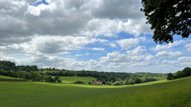
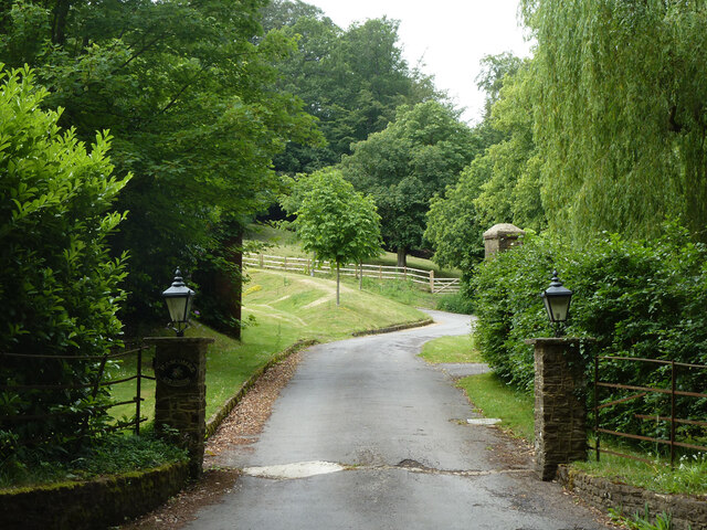
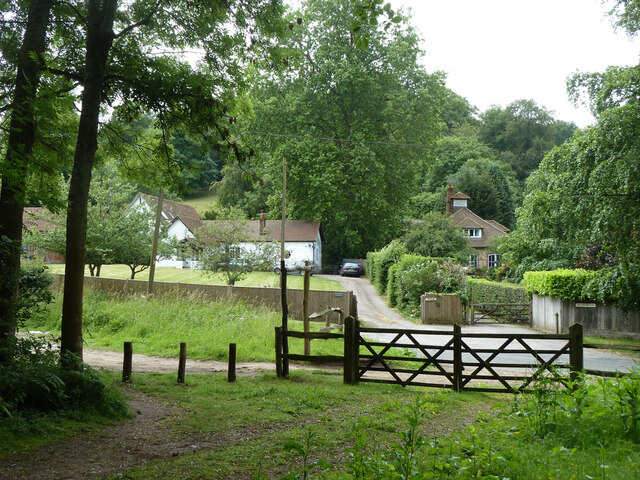
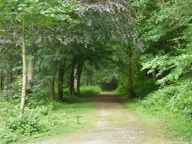
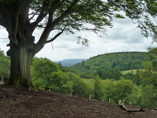
Cricket's Hill, located in Surrey, England, is a picturesque hill that offers breathtaking views of the surrounding countryside. Situated near the village of Bramley, this prominent landmark stands at an elevation of approximately 175 meters (574 feet) above sea level. Despite its relatively modest height, the hill provides a notable vantage point, making it a popular destination for nature enthusiasts and hikers.
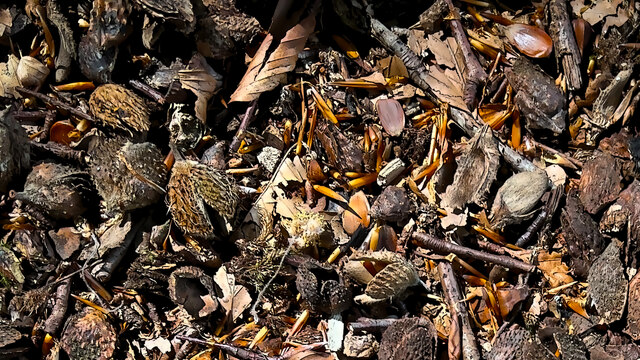
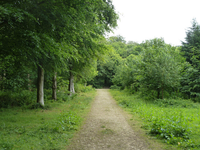
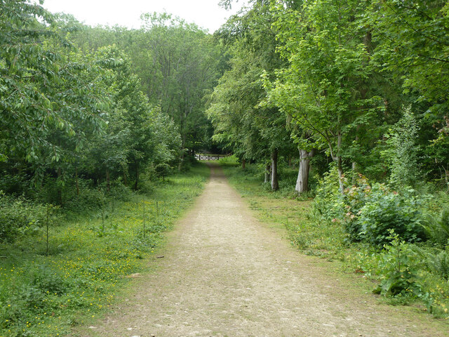
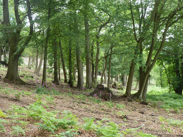
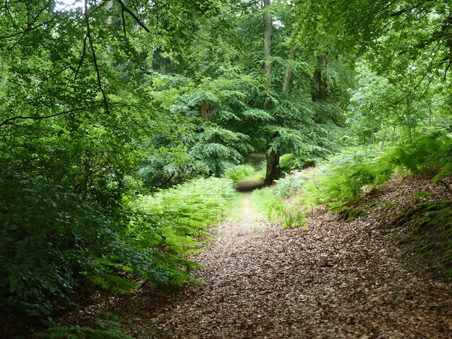
Covered in lush greenery, Cricket's Hill boasts a diverse range of flora and fauna, including oak, birch, and pine trees, as well as an array of wildflowers. This abundant vegetation creates a tranquil and serene atmosphere, attracting various species of birds and small mammals.
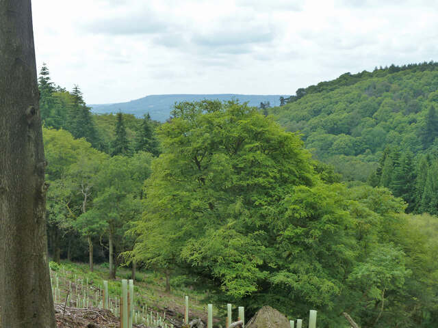
The hill is easily accessible through a network of well-maintained footpaths, ensuring visitors can explore its scenic beauty at their leisure. As they ascend Cricket's Hill, visitors are rewarded with panoramic views of the rolling hills, meadows, and woodlands that define the Surrey landscape. On clear days, it is even possible to catch glimpses of the distant South Downs and the iconic London skyline.
Cricket's Hill holds historical significance as well. The name itself is believed to derive from the game of cricket played on the hillside in the past. Additionally, remnants of ancient settlements, including burial mounds and earthworks, can be found in the vicinity, providing a glimpse into the area's rich cultural heritage.
Overall, Cricket's Hill offers a peaceful retreat from the hustle and bustle of everyday life, allowing visitors to immerse themselves in the natural beauty and tranquility of Surrey's countryside.
If you have any feedback on the listing, please let us know in the comments section below.
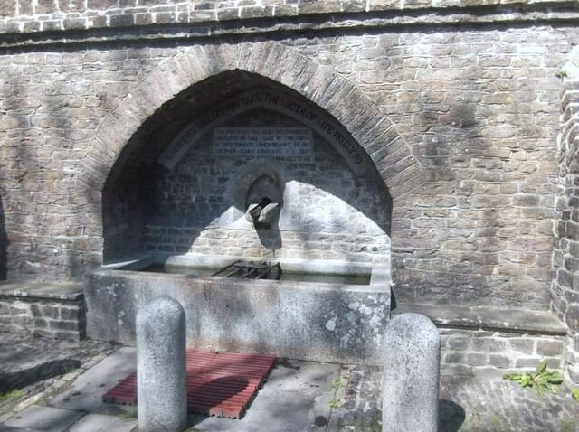
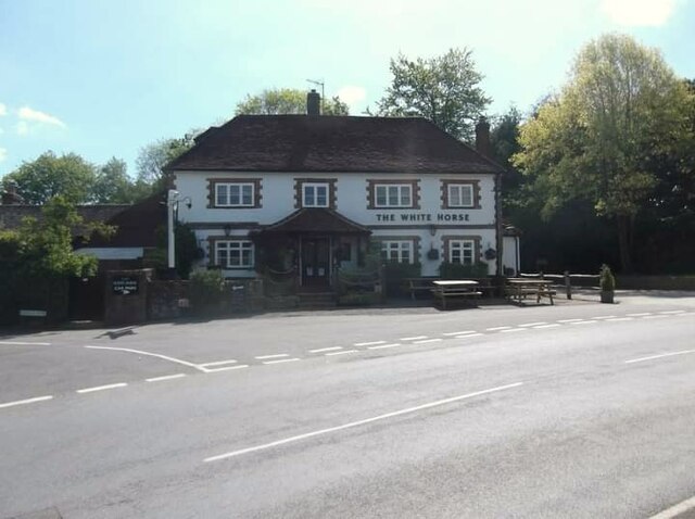
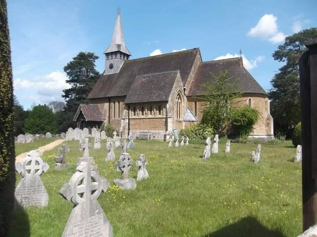
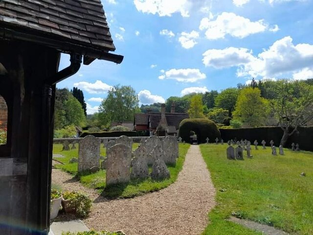
Cricket's Hill Images
Images are sourced within 2km of 51.151789/-0.56766925 or Grid Reference TQ0040. Thanks to Geograph Open Source API. All images are credited.

Cricket's Hill is located at Grid Ref: TQ0040 (Lat: 51.151789, Lng: -0.56766925)
Administrative County: Surrey
District: Waverley
Police Authority: Surrey
What 3 Words
///garage.oaks.poets. Near Bramley, Surrey
Nearby Locations
Related Wikis

Hascombe
Hascombe is a village and civil parish in Surrey, England. It is around 3 miles (4.8 km) southeast of Godalming in the Borough of Waverley. The settlement...

Hascombe Court
Hascombe Court is a 172-acre (70 ha) estate in Hascombe, Surrey, best known for its vast garden designed by Gertrude Jekyll. Hascombe Court is listed Grade...

Winkworth Arboretum
Winkworth Arboretum is a National Trust-owned arboretum in the spread-out civil parish of Busbridge between Godalming and Hascombe, south-west Surrey,...

Hascombe Hill
Hascombe Hill or Hascombe Camp is the site of an Iron Age multivallate hill fort close to the village of Hascombe in Surrey, England. == History == The...

Hydon's Ball
Hydon's Ball is a 179-metre-high (587 ft) hill covering most of Hydon Heath in Hydestile, Surrey, England. == Description == The hill on Hydon Heath, Hydestile...

Munstead Wood
Munstead Wood is a Grade I listed house and garden in Munstead Heath, Busbridge on the boundary of the town of Godalming in Surrey, England, 1 mile (1...

Busbridge
Busbridge is a village and civil parish in the borough of Waverley in Surrey, England that adjoins the town of Godalming. It forms part of the Waverley...

Orchards, Surrey
Orchards is an Arts and Crafts style house in Bramley in Surrey, England. It is on Bramley's boundary with Busbridge and 1 mile (1.6 km) south-east of...
Nearby Amenities
Located within 500m of 51.151789,-0.56766925Have you been to Cricket's Hill?
Leave your review of Cricket's Hill below (or comments, questions and feedback).