Chapel Hill
Hill, Mountain in Lincolnshire North Kesteven
England
Chapel Hill

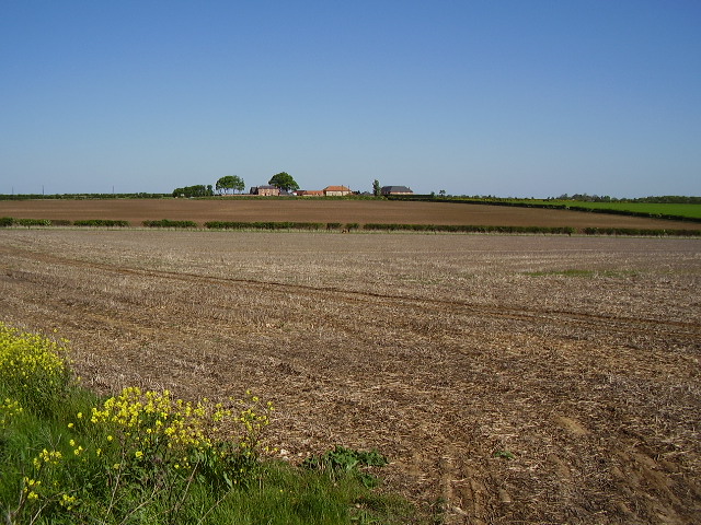
Chapel Hill is a small hill located in the county of Lincolnshire, England. Situated near the town of Grantham, Chapel Hill is known for its picturesque landscapes and historical significance.
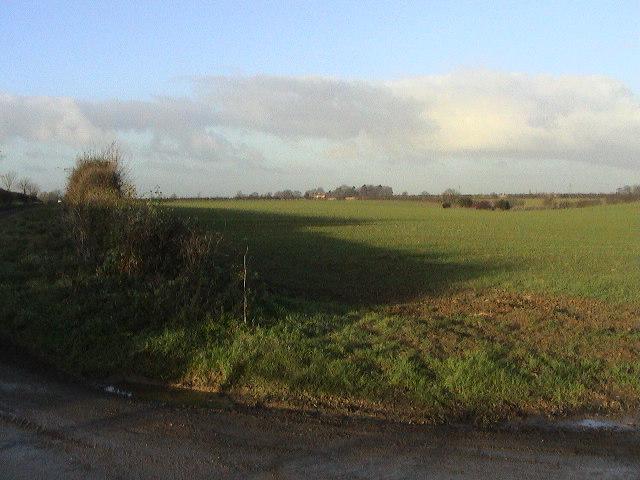
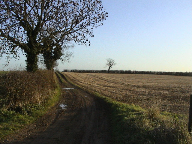
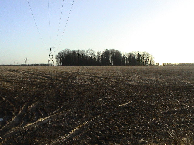
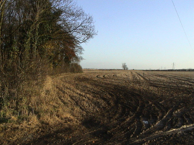
The hill, with an elevation of approximately 150 meters, offers stunning views of the surrounding countryside. It is covered in lush greenery, with a variety of trees and plants adorning its slopes. Chapel Hill is a popular spot for nature enthusiasts and hikers who enjoy exploring the peaceful trails that wind their way to the top.
The name Chapel Hill is derived from the presence of a chapel that once stood on the hilltop. The chapel, believed to have been built in the 12th century, served as a place of worship for the local community. Although the chapel no longer exists, the remnants of its foundation can still be seen today, providing a glimpse into the area's historical past.
Aside from its natural beauty and historical significance, Chapel Hill also hosts various events and activities throughout the year. These include guided tours, picnics, and even outdoor concerts, attracting visitors from near and far. The hill has become a popular destination for families and individuals seeking a peaceful retreat from the hustle and bustle of everyday life.
Chapel Hill, Lincolnshire, is truly a gem in the heart of England's countryside, offering a unique blend of natural beauty and historical charm.
If you have any feedback on the listing, please let us know in the comments section below.
Chapel Hill Images
Images are sourced within 2km of 53.174339/-0.49926177 or Grid Reference TF0065. Thanks to Geograph Open Source API. All images are credited.


Chapel Hill is located at Grid Ref: TF0065 (Lat: 53.174339, Lng: -0.49926177)
Administrative County: Lincolnshire
District: North Kesteven
Police Authority: Lincolnshire
What 3 Words
///implanted.suspended.advancing. Near Waddington, Lincolnshire
Nearby Locations
Related Wikis

RAF Waddington
Royal Air Force Waddington otherwise known as RAF Waddington (IATA: WTN, ICAO: EGXW) is a Royal Air Force station located beside the village of Waddington...
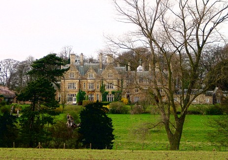
Branston Hall
Branston Hall is a country house in the village of Branston, Lincolnshire, England. The hall, a Grade II listed building, is set in 88 acres (3.56 square...

Branston Rural District
Branston was a rural district in Kesteven in Lincolnshire, England from 1894 to 1931. It was formed under the Local Government Act 1894 from the part...
North Kesteven
North Kesteven is a local government district in Lincolnshire, England. The council is based in Sleaford. The district also contains the town of North...

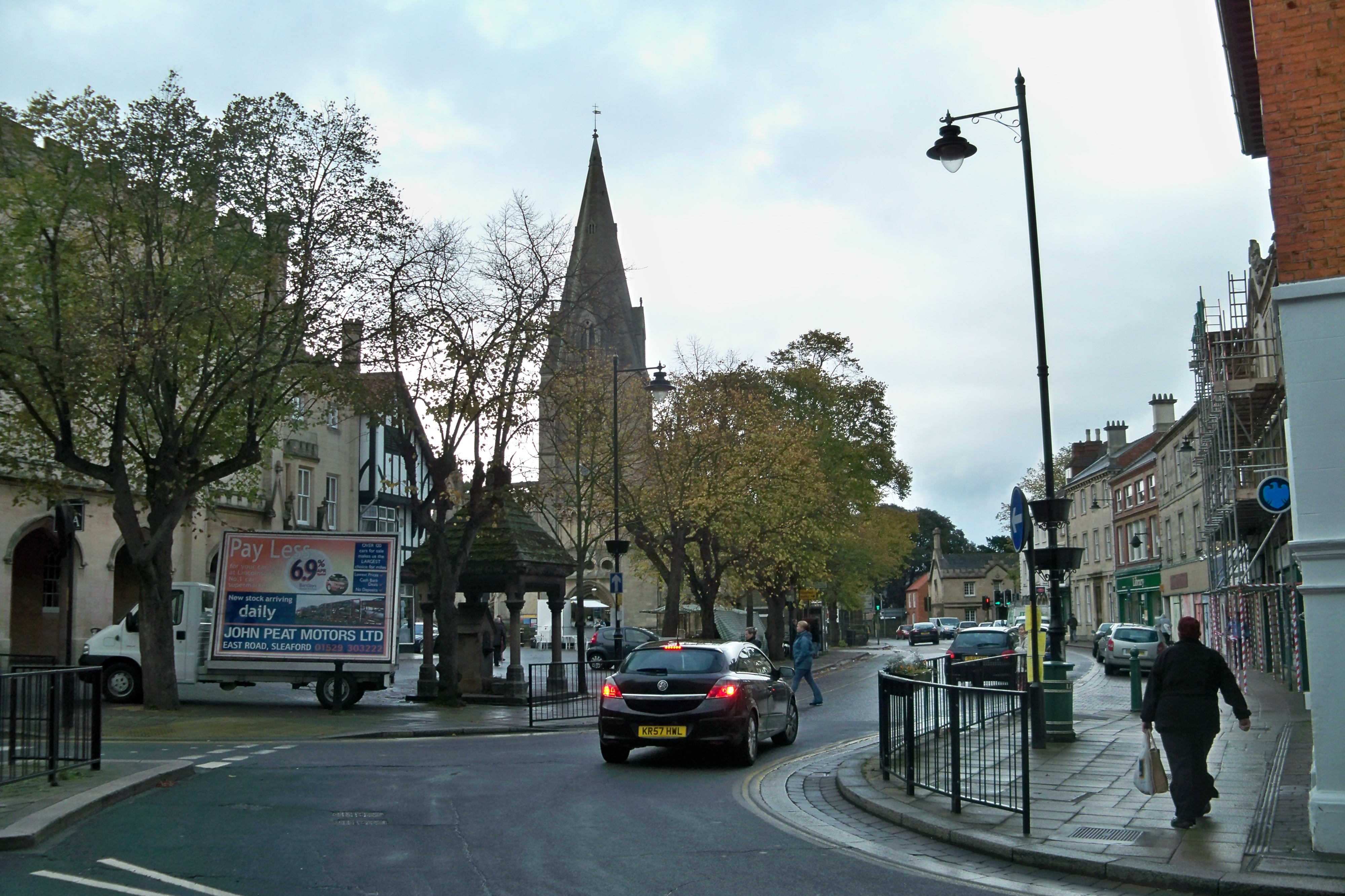
Waddington, Lincolnshire
Waddington is a village and civil parish in the North Kesteven district of Lincolnshire, England, situated approximately 4 miles (6 km) south of Lincoln...

Branston and Mere
Branston and Mere is a civil parish in the North Kesteven district of Lincolnshire, England, about 4 miles (6 km) roughly south-east of Lincoln. The parish...

Branston, Lincolnshire
Branston is a large village in the North Kesteven district of Lincolnshire, England, 4 miles (6 km) south-east of Lincoln on the B1188 road to Sleaford...

Bracebridge Heath
Bracebridge Heath is a village and civil parish in the North Kesteven district of Lincolnshire, England. It is 2 miles (3 km) south of Lincoln and straddles...
Nearby Amenities
Located within 500m of 53.174339,-0.49926177Have you been to Chapel Hill?
Leave your review of Chapel Hill below (or comments, questions and feedback).