Callow Hill

Hill, Mountain in Surrey Runnymede

England

Callow Hill

Totem Pole, Windsor Great Park The 100-foot pole bears traditional First Nations carvings and was a gift from the Canadian province of British Columbia to the Queen in 1958.
Totem Pole, Windsor Great Park Credit: Mark Percy

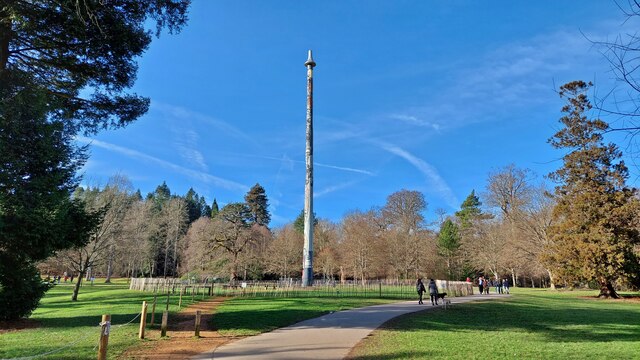
Callow Hill is a picturesque hill located in the county of Surrey, England. Standing at an elevation of approximately 160 meters (525 feet), it offers breathtaking panoramic views of the surrounding countryside. Situated within the Surrey Hills Area of Outstanding Natural Beauty, Callow Hill is renowned for its stunning landscapes and tranquil atmosphere.

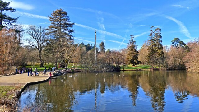
Covered in lush greenery, the hill is adorned with a variety of trees, including oak, beech, and birch. These trees provide shelter to a diverse range of wildlife, making it an ideal spot for nature enthusiasts and bird watchers. The hill is also home to a plethora of wildflowers, which add vibrant colors to the scenery during the spring and summer months.

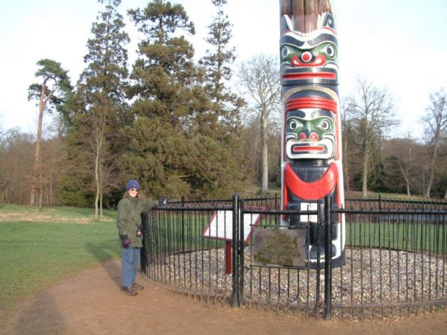
Callow Hill is a popular destination for outdoor activities such as hiking and walking. There are several footpaths and trails that lead to the summit, allowing visitors to explore the area at their own pace. The hill is also frequented by cyclists, who can enjoy the challenging terrain and stunning views while pedaling along the winding roads.

At the top of Callow Hill, there is a designated viewpoint that offers uninterrupted vistas of the surrounding countryside. On a clear day, it is possible to see as far as the city of London, providing a unique juxtaposition of urban and rural landscapes.

Overall, Callow Hill in Surrey is a haven of natural beauty, offering visitors a chance to escape the hustle and bustle of everyday life and immerse themselves in the tranquility of the countryside.

If you have any feedback on the listing, please let us know in the comments section below.
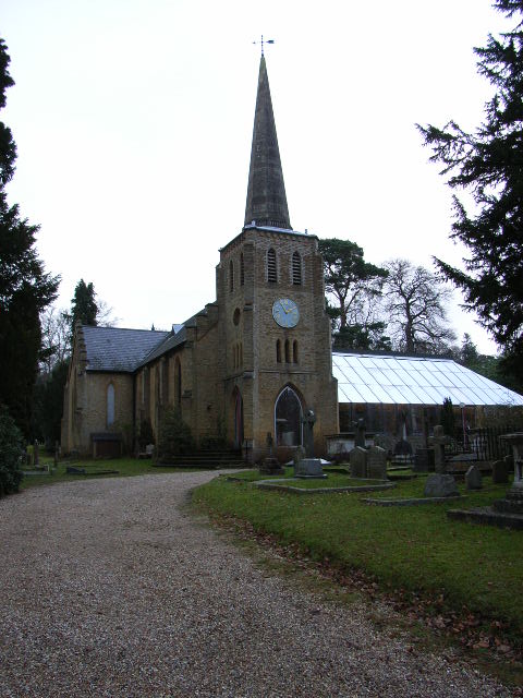
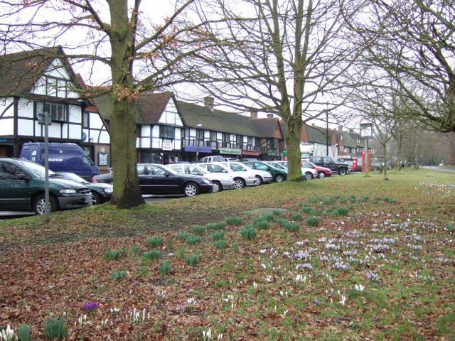
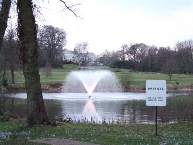
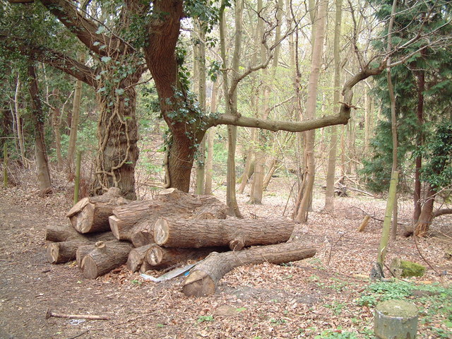
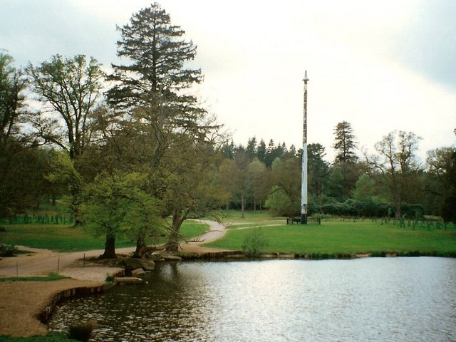
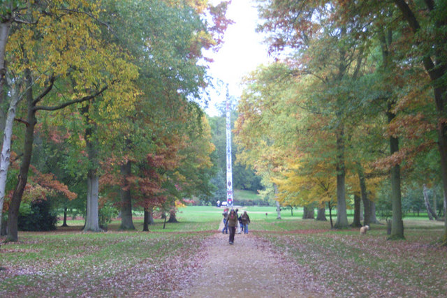
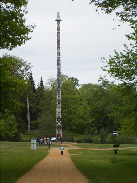
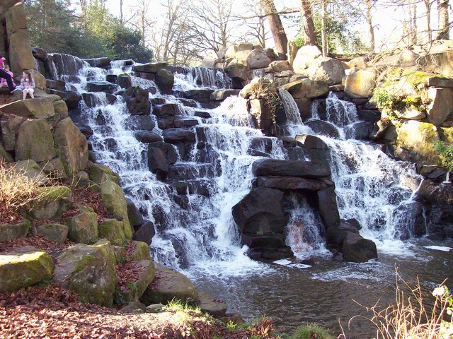
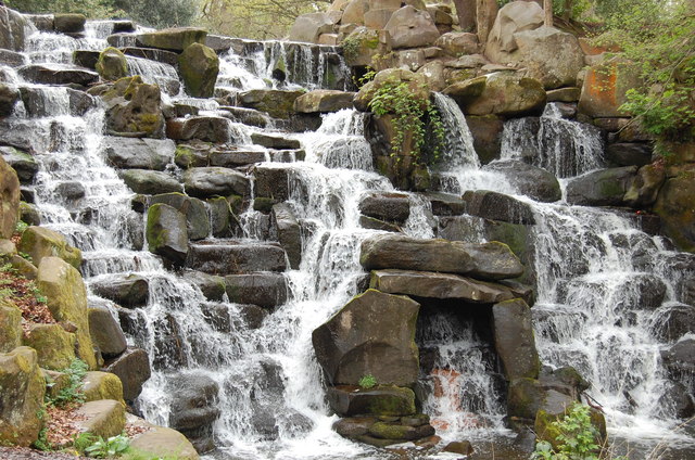
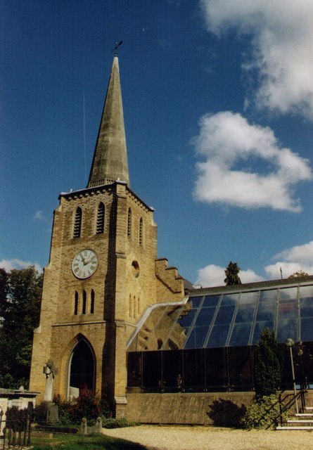
Callow Hill Images

Images are sourced within 2km of 51.410924/-0.5699975 or Grid Reference SU9968. Thanks to Geograph Open Source API. All images are credited.

Totem Pole, Windsor Great Park The 100-foot pole bears traditional First Nations carvings and was a gift from the Canadian province of British Columbia to the Queen in 1958.
Totem Pole, Windsor Great Park
The 100-foot pole bears traditional First Nations carvings and was a gift from the Canadian province of British Columbia to the Queen in 1958.
Wick Pond, Windsor Great Park Looking across Wick Pond to the totem pole.
Wick Pond, Windsor Great Park
Looking across Wick Pond to the totem pole.
Virginia Water This Totem Pole is located on the extreme western edge of the square in Virginia Water.
Virginia Water
This Totem Pole is located on the extreme western edge of the square in Virginia Water.
The Bourne, Virginia Water Recent clearance of trees has opened up this scene of The Bourne in the woodland between Virginia Water and Trumps Green. This view is taken looking westwards and upstream.
The Bourne, Virginia Water
Recent clearance of trees has opened up this scene of The Bourne in the woodland between Virginia Water and Trumps Green. This view is taken looking westwards and upstream.
Christ Church, Virginia Water
Station Approach Local shops near Virginia Water station.
Station Approach
Local shops near Virginia Water station.
Wentworth Golf Course
Callow Hill Wood As seen from the track that leads east from the Rose and Olive Branch public house.
Callow Hill Wood
As seen from the track that leads east from the Rose and Olive Branch public house.
Totem pole at Virginia Water The totem pole is situated at the northern end of Virginia Water lake in Windsor Great Park
Totem pole at Virginia Water
The totem pole is situated at the northern end of Virginia Water lake in Windsor Great Park
Totem pole, Virginia Water, Surrey Autumn in the park
Totem pole, Virginia Water, Surrey
Autumn in the park
Totem Pole, Virginia Water Given to The Queen in 1958.
Totem Pole, Virginia Water
Given to The Queen in 1958.
The Cascade, Virginia Water The Cascade was constructed in the 18ct, reputedly using stones taken from the site of a Saxon settlement on Bagshot Heath. For a view of the Cascade taken in Nov 2013 refer to picture <a href="https://www.geograph.org.uk/photo/3734030">SU9768 : The Cascade, Virginia Water</a>.
The Cascade, Virginia Water
The Cascade was constructed in the 18ct, reputedly using stones taken from the site of a Saxon settlement on Bagshot Heath. For a view of the Cascade taken in Nov 2013 refer to picture SU9768 : The Cascade, Virginia Water.
The Cascade, Virginia Water
Virginia water - lake
Virginia Water, Surrey
Children's paddle boat, Virginia Water Two little girls learning how to be sailors.
Children's paddle boat, Virginia Water
Two little girls learning how to be sailors.
Christ Church, Virginia Water Built in 1839.
Christ Church, Virginia Water
Built in 1839.
Totem Pole near Virginia Water This totem pole stands at the Egham Wick end of Virginia Water, having ended its long journey from British Columbia in 1958. The notice at the foot of the pole reads as follows: "TOTEM POLE - BRITISH COLUMBIA, CANADA. THIS POLE, 100 feet high - a foot for every year - marks the centenary of British Columbia which, named by Queen Victoria and proclaimed a Crown Colony on November 19th, 1858, is now the Pacific Coast Province of Canada".
Totem Pole near Virginia Water
This totem pole stands at the Egham Wick end of Virginia Water, having ended its long journey from British Columbia in 1958. The notice at the foot of the pole reads as follows: "TOTEM POLE - BRITISH COLUMBIA, CANADA. THIS POLE, 100 feet high - a foot for every year - marks the centenary of British Columbia which, named by Queen Victoria and proclaimed a Crown Colony on November 19th, 1858, is now the Pacific Coast Province of Canada".
Show me another place!

Callow Hill is located at Grid Ref: SU9968 (Lat: 51.410924, Lng: -0.5699975)

Administrative County: Surrey

District: Runnymede

Police Authority: Surrey

What 3 Words

///means.lame.chair. Near Virginia Water, Surrey

Nearby Locations

Virginia Water Callow Hill

Related Wikis

Holloway Sanatorium

Holloway Sanatorium was an institution for the treatment of those suffering temporary mental illness, situated on 22 acres (9 ha) of aesthetically landscaped...

Virginia Water railway station

Virginia Water railway station serves the village of Virginia Water, in Surrey, England. It is 23 miles 15 chains (37.3 km) down the line from London Waterloo...

Riverside Walk, Virginia Water

Riverside Walk is a 21.2-hectare (52-acre) local nature reserve in Virginia Water, Surrey. It is owned by Runnymede Borough Council and managed by The...

Royal Holloway, University of London

Royal Holloway, University of London (RHUL), formally incorporated as Royal Holloway and Bedford New College, is a public research university and a member...

Nearby Amenities

Located within 500m of 51.410924,-0.5699975
Barrier: bollard
Lat/Long: 51.4094605/-0.5651028
Callow Hill
Place: hamlet
Lat/Long: 51.4139508/-0.5728513
Barrier: bollard
Lat/Long: 51.4105186/-0.568095
Note: continues
Lat/Long: 51.4137154/-0.5689398
The Dell
Place: locality
Lat/Long: 51.4120983/-0.5640388
Barrier: bollard
Lat/Long: 51.4128154/-0.572715
Glenridge Lodge
Building: residential
Source: OS-OpenData_StreetView
Lat/Long: 51.410891/-0.5747496
The data included in this document is from www.openstreetmap.org. The data is made available under ODbL.

Have you been to Callow Hill?

Leave your review of Callow Hill below (or comments, questions and feedback).