Burdenshot Hill
Hill, Mountain in Surrey Woking
England
Burdenshot Hill
Burdenshot Hill, located in Surrey, England, is a prominent hill that offers breathtaking views and a unique hiking experience for outdoor enthusiasts. Rising to an elevation of 271 meters (889 feet), it is classified as a hill rather than a mountain due to its relatively modest height.
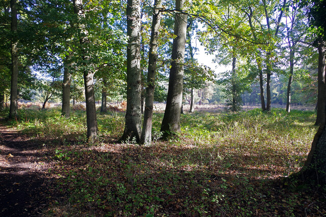
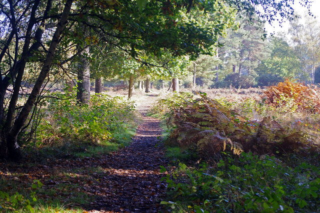
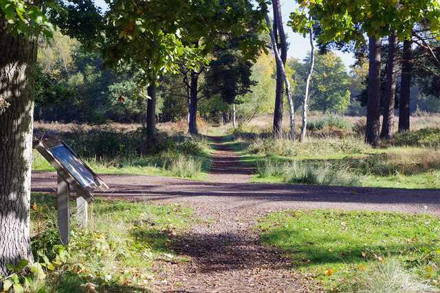
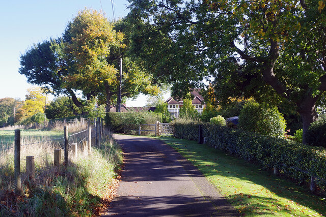
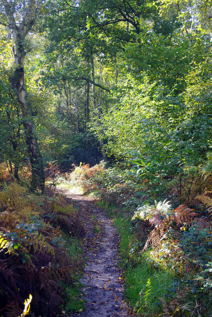
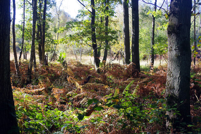
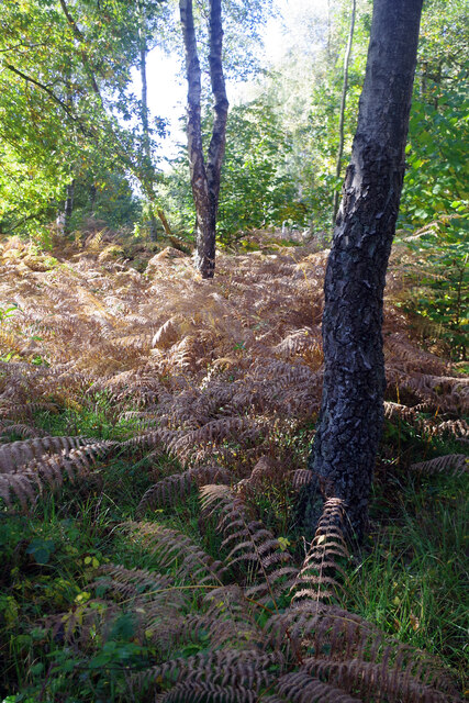
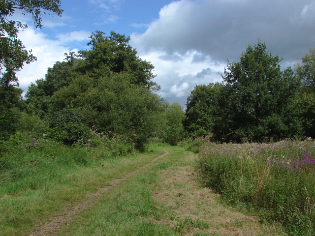
Situated in the picturesque Surrey Hills Area of Outstanding Natural Beauty, Burdenshot Hill is known for its unspoiled beauty and diverse flora and fauna. The hill is covered in lush greenery, offering a peaceful and tranquil environment for visitors. It is a popular destination for hikers, nature lovers, and photographers, thanks to its stunning panoramic views of the surrounding countryside.
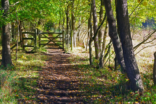
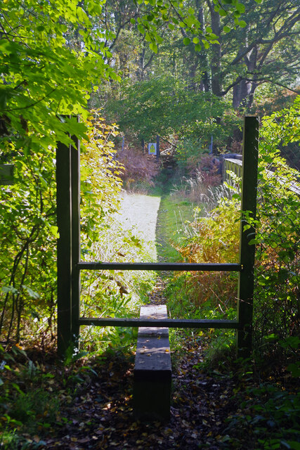
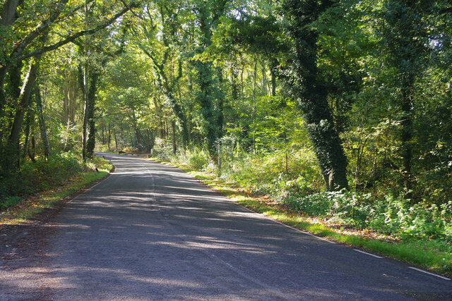
The hill is easily accessible, with a network of well-defined footpaths and trails that cater to all skill levels. The main trail to the summit is relatively gentle, making it suitable for families and casual walkers. For more adventurous hikers, there are some steeper and more challenging routes available, providing a sense of accomplishment upon reaching the top.
At the summit, visitors are rewarded with magnificent views of the surrounding areas, including the Surrey Hills, the North Downs, and the South Downs National Park. On clear days, the distant London skyline can also be seen from certain vantage points. The hilltop provides a perfect vantage point for stunning sunsets, making it an ideal spot for photography enthusiasts.
Overall, Burdenshot Hill offers a memorable outdoor experience for those seeking natural beauty and tranquility. Its accessibility, diverse trails, and captivating views make it a must-visit destination for both locals and tourists alike.
If you have any feedback on the listing, please let us know in the comments section below.
Burdenshot Hill Images
Images are sourced within 2km of 51.285867/-0.58614541 or Grid Reference SU9855. Thanks to Geograph Open Source API. All images are credited.


Burdenshot Hill is located at Grid Ref: SU9855 (Lat: 51.285867, Lng: -0.58614541)
Administrative County: Surrey
District: Woking
Police Authority: Surrey
What 3 Words
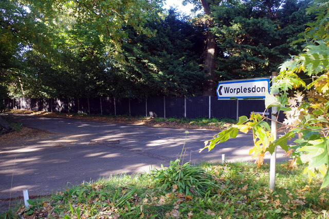
///social.years.button. Near Fairlands, Surrey
Nearby Locations
Related Wikis

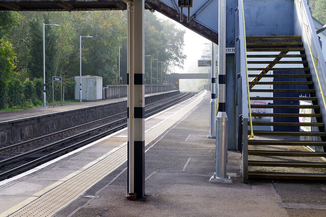
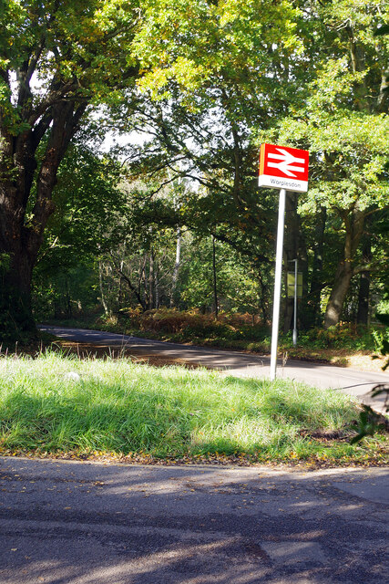
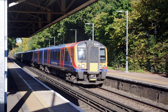
Worplesdon railway station
Worplesdon railway station is a railway station in the Woking district of Surrey, England. The station is located between Woking and Guildford stations...

Smart's and Prey Heaths
Smart's and Prey Heaths is a 39-hectare (96-acre) biological Site of Special Scientific Interest south-west of Woking in Surrey.These mainly damp heaths...

Whitmoor Common
Whitmoor Common is a 166-hectare (410-acre) biological Site of Special Scientific Interest on the northern outskirts of Guildford in Surrey. It is part...
Mayford Meadows
Mayford Meadows is a 4.9-hectare (12-acre) Local Nature Reserve on the southern outskirts of Woking in Surrey. It is owned and managed by Woking Borough...
Nearby Amenities
Located within 500m of 51.285867,-0.58614541Have you been to Burdenshot Hill?
Leave your review of Burdenshot Hill below (or comments, questions and feedback).