Bunker's Hill
Hill, Mountain in Surrey Guildford
England
Bunker's Hill
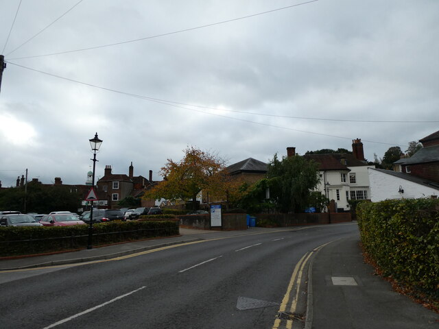
Bunker's Hill, located in Surrey, England, is a prominent hill standing at an elevation of approximately 275 meters (902 feet) above sea level. It is situated in the eastern part of the Surrey Hills, an Area of Outstanding Natural Beauty. Bunker's Hill is known for its outstanding panoramic views of the surrounding countryside, making it a popular destination for nature enthusiasts and hikers.
The hill itself is covered in lush green vegetation, dominated by grasslands and scattered with trees. It offers a diverse range of flora and fauna, providing a habitat for various species of birds, butterflies, and small mammals. The terrain is relatively gentle, making it accessible for all levels of hikers and walkers.
Bunker's Hill is a site of historical significance, named after the Bunker family who owned the land in the 18th century. It played a role in the local iron industry during the 19th century, with the remains of old ironworks still visible in some areas. Additionally, there are traces of ancient settlements dating back to the Iron Age, adding to its historical value.
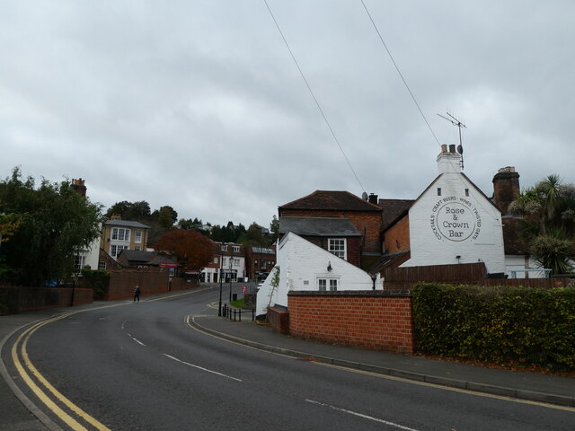
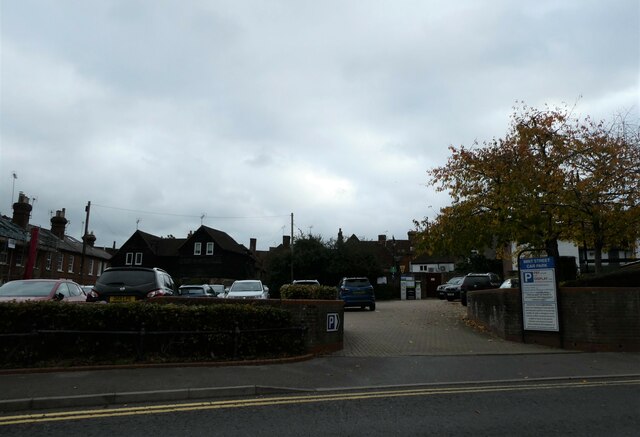
The hill is a popular destination for outdoor activities, such as walking, picnicking, and photography. There are several well-marked trails that lead visitors through scenic routes, allowing them to explore the natural beauty of the area. The Surrey Hills Area of Outstanding Natural Beauty offers information points and facilities, ensuring visitors have an enjoyable and informative experience.
Overall, Bunker's Hill is a picturesque location that combines natural beauty, historical significance, and recreational opportunities, making it a must-visit destination for those seeking a tranquil escape in the heart of Surrey.
If you have any feedback on the listing, please let us know in the comments section below.
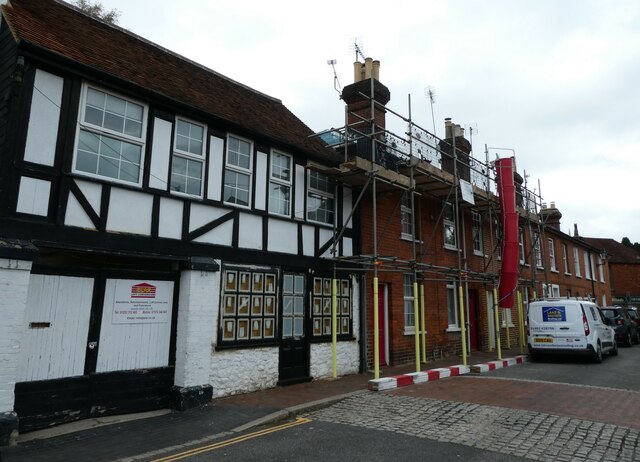
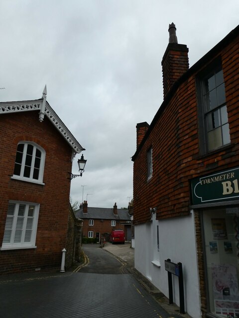
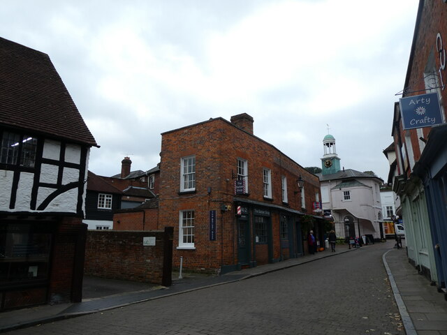
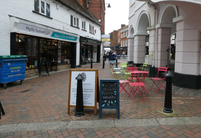
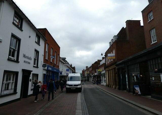
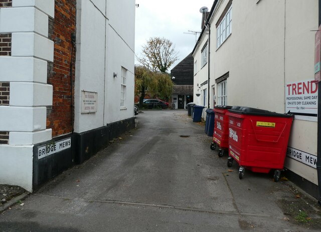
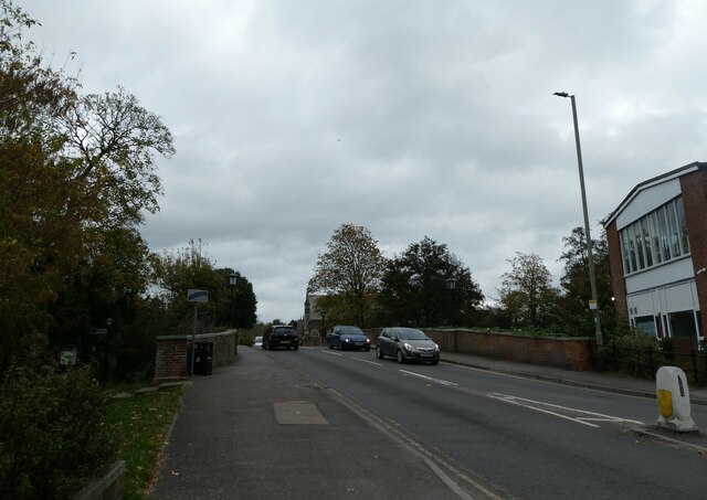
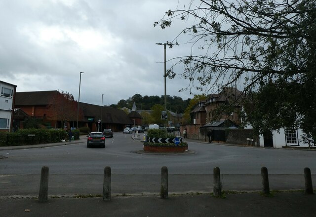
Bunker's Hill Images
Images are sourced within 2km of 51.190948/-0.58959574 or Grid Reference SU9844. Thanks to Geograph Open Source API. All images are credited.


Bunker's Hill is located at Grid Ref: SU9844 (Lat: 51.190948, Lng: -0.58959574)
Administrative County: Surrey
District: Guildford
Police Authority: Surrey
What 3 Words
///clown.scarf.bless. Near Godalming, Surrey
Nearby Locations
Related Wikis

Meadrow Unitarian Chapel
Meadrow Unitarian Chapel (also known as Meadrow Chapel and Godalming Unitarian Church) is a Unitarian chapel in the Farncombe area of Godalming, Surrey...

Godalming Town F.C.
Godalming Town Football Club is a semi-professional football club based in Godalming, Surrey, England. They are currently members of the Southern Combination...
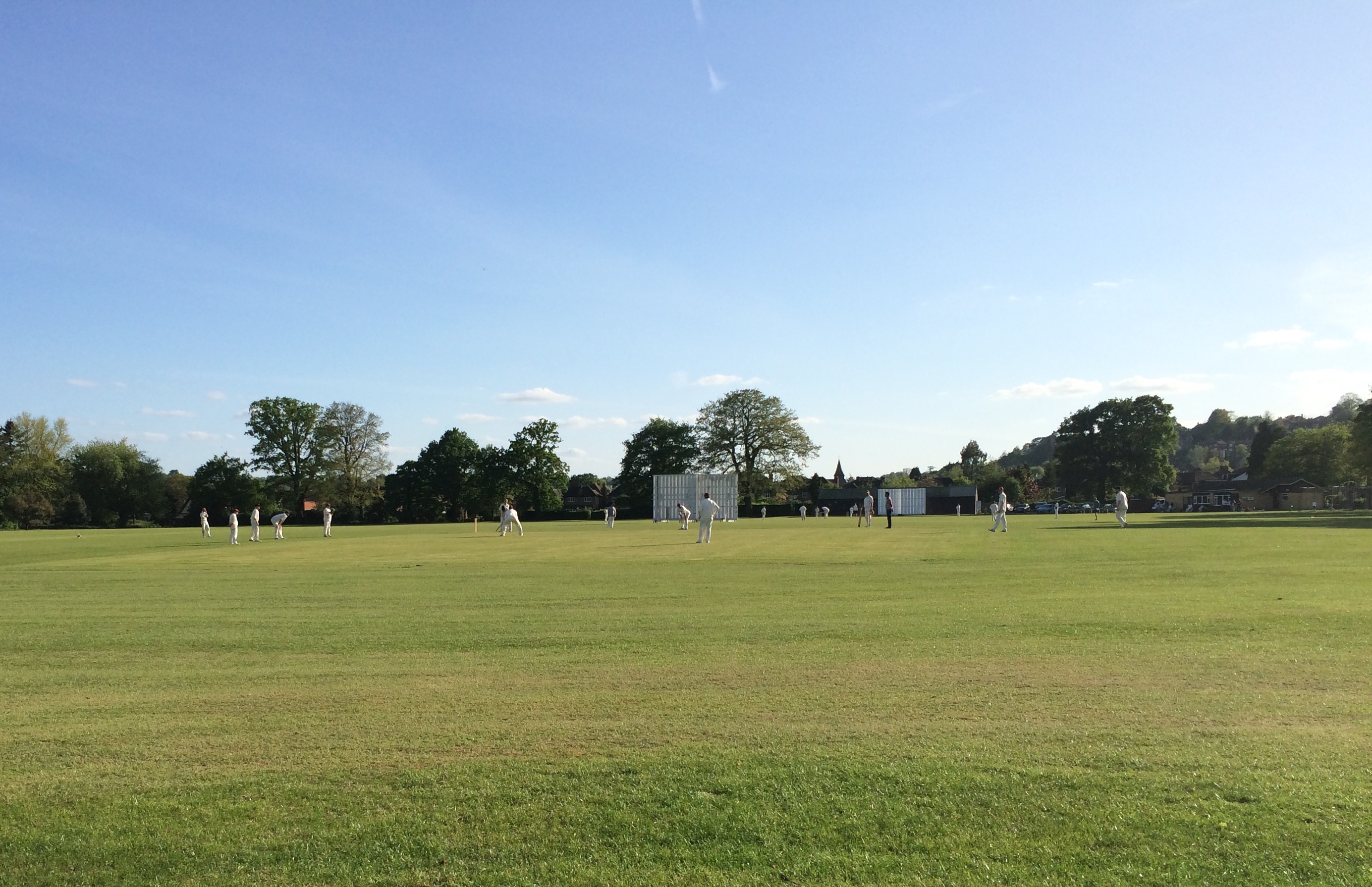
Broadwater Park
Broadwater Park is a cricket ground during the summer, and football ground through winter, located in Farncombe, Surrey. The first recorded match on the...
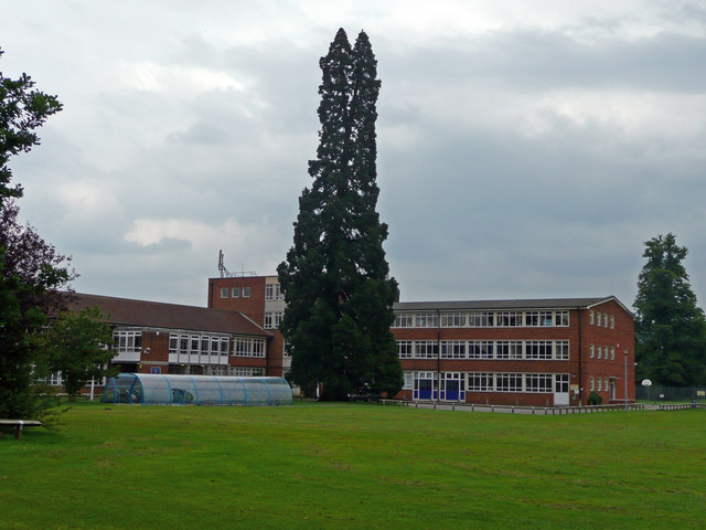
Broadwater School
Broadwater School is a coeducational secondary school in the village of Farncombe, situated in the county of Surrey in England. Established as Broadwater...

Farncombe
Farncombe, historically Fernecome, is a village and peripheral settlement of Godalming in Waverley, Surrey, England and is approximately 0.8 miles (1.3...

Godalming United Church
Godalming United Church is a non-conformist church formed in 1977 of a union of the local Methodist and URC churches. Built in 1903, it is located between...
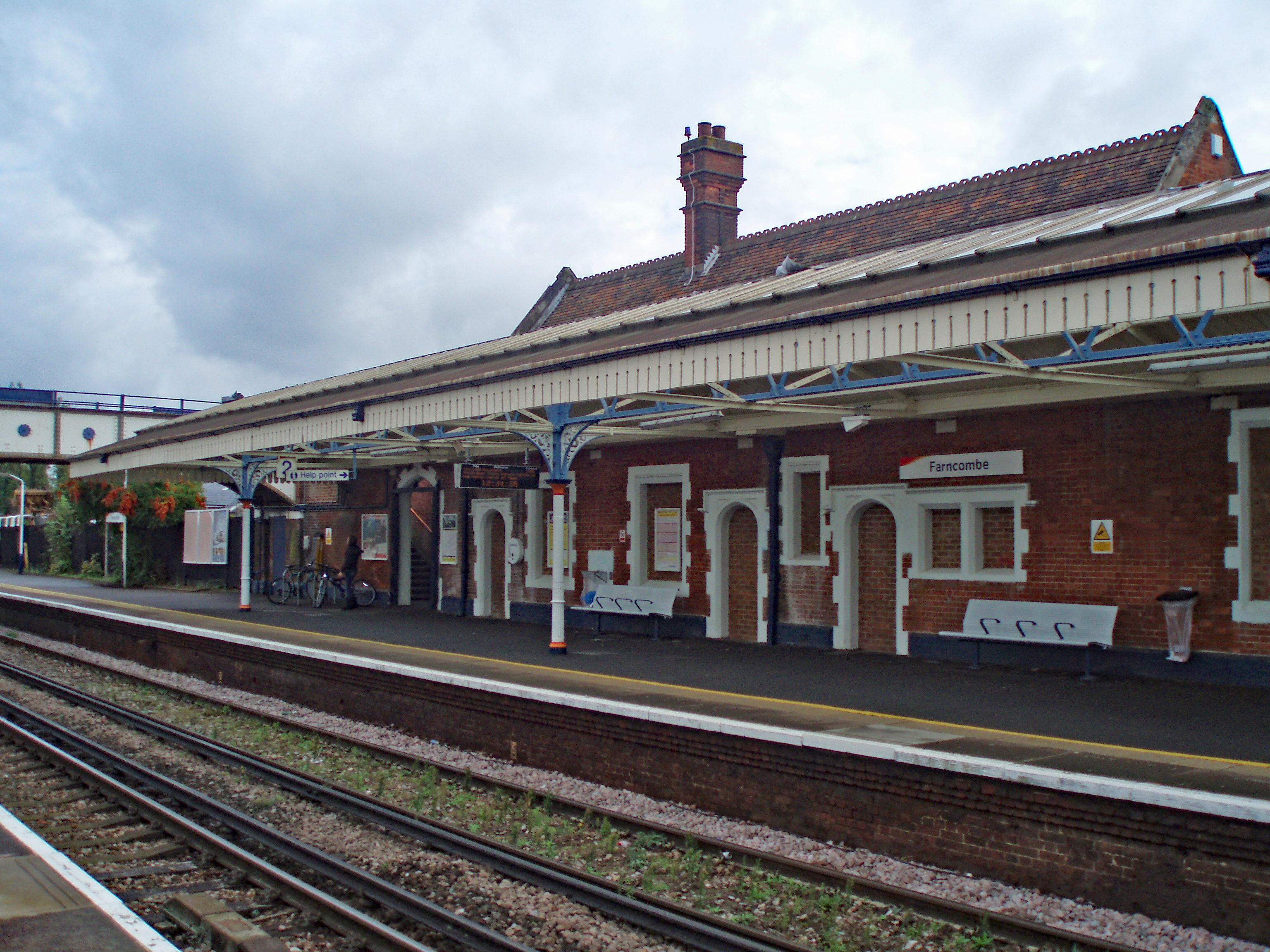
Farncombe railway station
Farncombe railway station opened in 1897 as a minor stop on the Portsmouth Direct Line between Guildford and Godalming, England. It is said to have been...

Orchards, Surrey
Orchards is an Arts and Crafts style house in Bramley in Surrey, England. It is on Bramley's boundary with Busbridge and 1 mile (1.6 km) south-east of...
Nearby Amenities
Located within 500m of 51.190948,-0.58959574Have you been to Bunker's Hill?
Leave your review of Bunker's Hill below (or comments, questions and feedback).