Beech Hill
Hill, Mountain in Surrey Waverley
England
Beech Hill
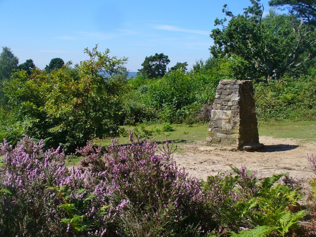
Beech Hill is a small hill located in the county of Surrey, in the southeast of England. Situated near the village of Woldingham, it is part of the North Downs, a range of chalk hills that stretches across several counties in southern England.
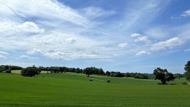
Standing at an elevation of approximately 300 feet (91 meters), Beech Hill offers breathtaking panoramic views of the surrounding countryside. The hill is covered in lush greenery, predominantly composed of beech trees, which gives it its name. These trees provide a vibrant and picturesque landscape, especially during the autumn months when their leaves turn golden.
Beech Hill is a popular destination for hikers and nature enthusiasts, who are attracted by its tranquil atmosphere and abundance of wildlife. The hill is home to various species of birds, butterflies, and small mammals, making it an ideal spot for birdwatching and nature photography.
The hill is easily accessible, with several footpaths and trails leading to its summit. These paths are well-maintained and suitable for all levels of fitness, making Beech Hill an enjoyable destination for family outings or leisurely walks.
In addition to its natural beauty, Beech Hill has historical significance. It is believed that the hill was once a site of ancient settlements, with archaeological evidence suggesting human activity dating back thousands of years. This adds an intriguing layer of history to the area, further enhancing its appeal to visitors.
Overall, Beech Hill in Surrey is a charming hill with stunning views, rich biodiversity, and a touch of history. It offers a peaceful escape from the hustle and bustle of everyday life, making it a cherished destination for locals and visitors alike.
If you have any feedback on the listing, please let us know in the comments section below.
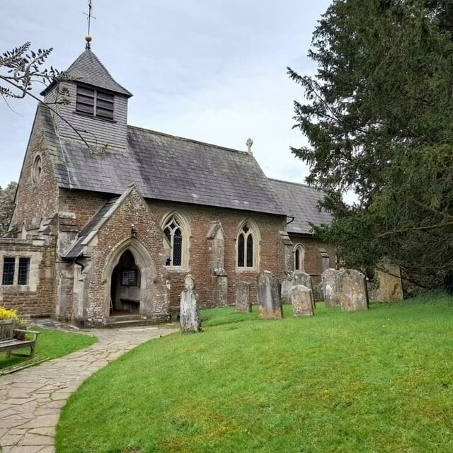
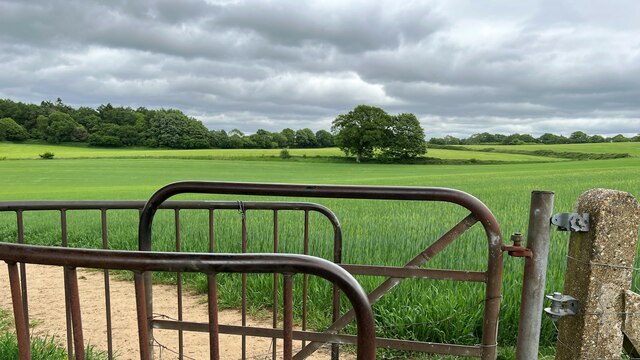
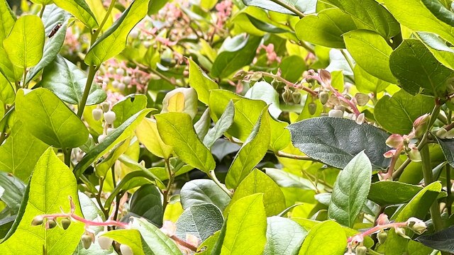
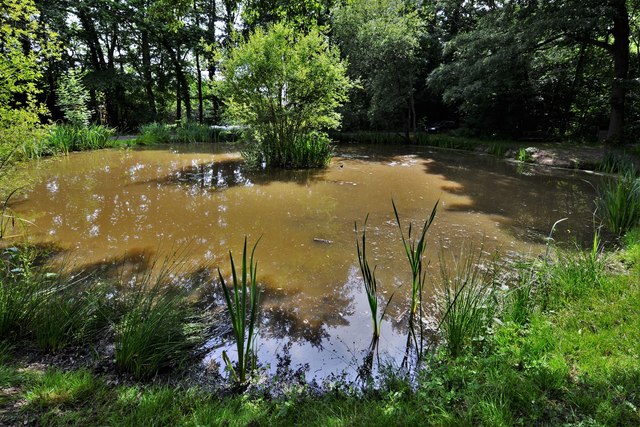
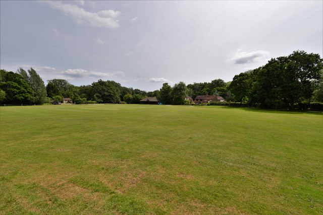
Beech Hill Images
Images are sourced within 2km of 51.137946/-0.61902749 or Grid Reference SU9638. Thanks to Geograph Open Source API. All images are credited.


Beech Hill is located at Grid Ref: SU9638 (Lat: 51.137946, Lng: -0.61902749)
Administrative County: Surrey
District: Waverley
Police Authority: Surrey
What 3 Words
///dazzling.tokens.replying. Near Wormley, Surrey
Nearby Locations
Related Wikis

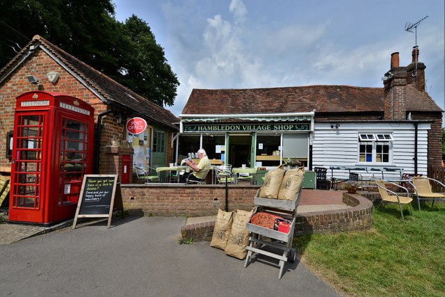
Hambledon, Surrey
Hambledon is a rural scattered village in the Waverley borough of Surrey, situated south of Guildford. It is dominated by a buffer zone of fields and woodland...

St Dominic's School
St. Dominic's School in Hambledon, Surrey, England is a co-educational day school, one of the oldest special schools in the United Kingdom. It specialises...

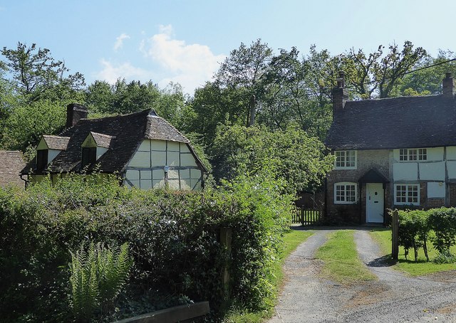
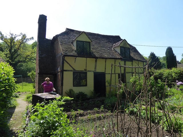
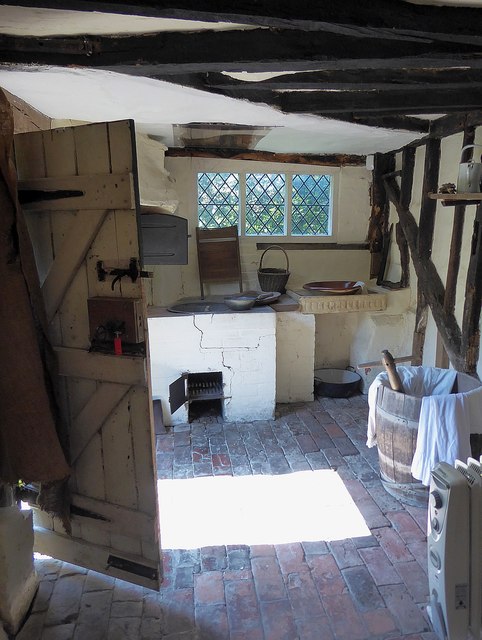
Oakhurst Cottage
Oakhurst Cottage is a tiny 16th or 17th-century cottage in Hambledon, Surrey, in the United Kingdom. It is a Grade II listed building.The cottage was given...

Tigbourne Court
Tigbourne Court is an Arts and Crafts style country house in Wormley, Surrey, England, 1 mile (1.6 km) south of Witley. It was designed by architect Edwin...

Hydon's Ball
Hydon's Ball is a 179-metre-high (587 ft) hill covering most of Hydon Heath in Hydestile, Surrey, England. == Description == The hill on Hydon Heath, Hydestile...

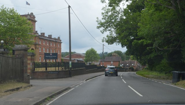
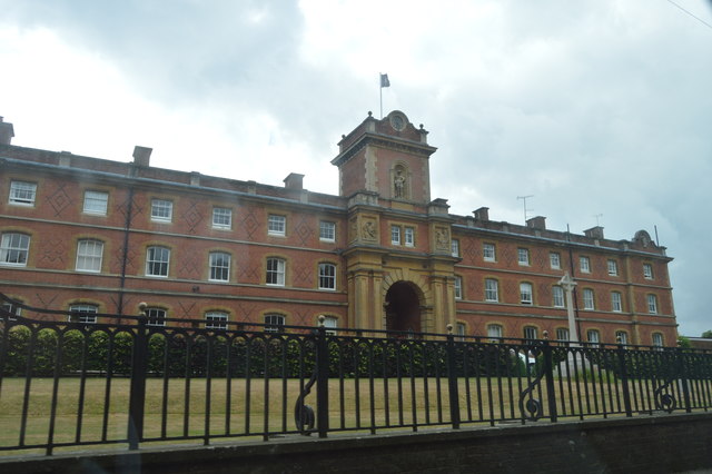
King Edward's School, Witley
King Edward's Witley is a private co-educational boarding and day school, founded in 1553 by King Edward VI and Nicholas Ridley, Bishop of London and Westminster...

Wormley, Surrey
Wormley is a village in Surrey, England in the parish of Witley, around Witley station, off the A283 Petworth Road about 5 km (3.1 mi) SSW of Godalming...

Witley railway station
Witley railway station is a station on the Portsmouth Direct Line in Surrey, England. It is 38 miles 36 chains (61.9 km) down the line from London Waterloo...
Nearby Amenities
Located within 500m of 51.137946,-0.61902749Have you been to Beech Hill?
Leave your review of Beech Hill below (or comments, questions and feedback).