Kirdford

Settlement in Sussex Chichester

England

Kirdford

Road through Kirdford
Road through Kirdford Credit: Barry Shimmon

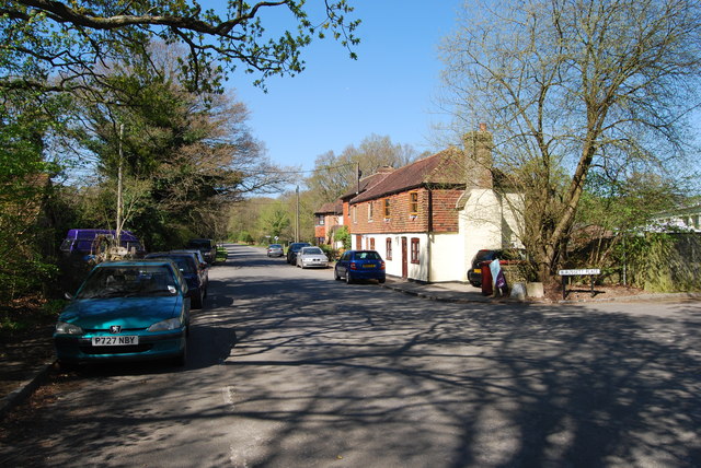
Kirdford is a small village located in the county of West Sussex, England. Situated in the southern part of the county, it is nestled within the stunning rural landscape of the South Downs National Park. The village lies approximately 10 miles south-west of the town of Horsham and 35 miles from the city of Chichester.

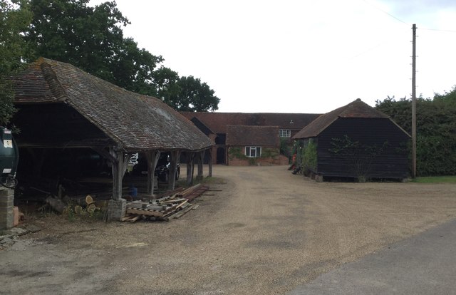
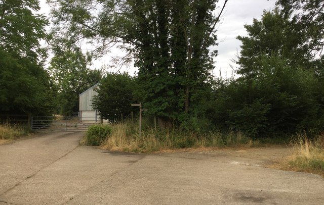
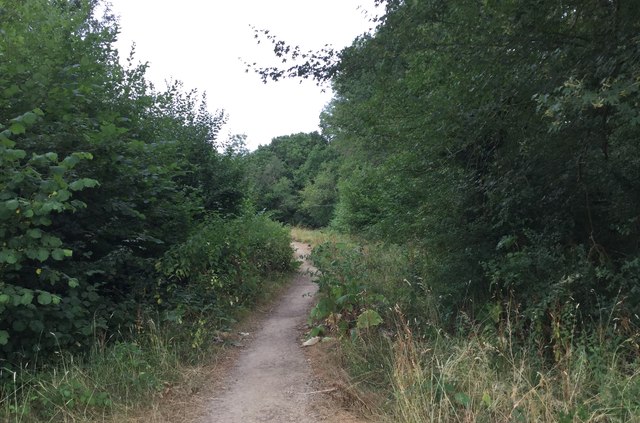
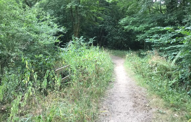
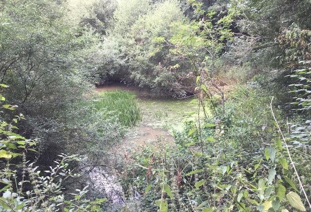
With a population of around 1,300 residents, Kirdford maintains a close-knit community feel. Its picturesque setting and charming character make it a popular destination for those seeking a peaceful and idyllic countryside retreat. The village is surrounded by rolling hills, meandering rivers, and lush green fields, offering plenty of opportunities for outdoor activities such as hiking, cycling, and fishing.

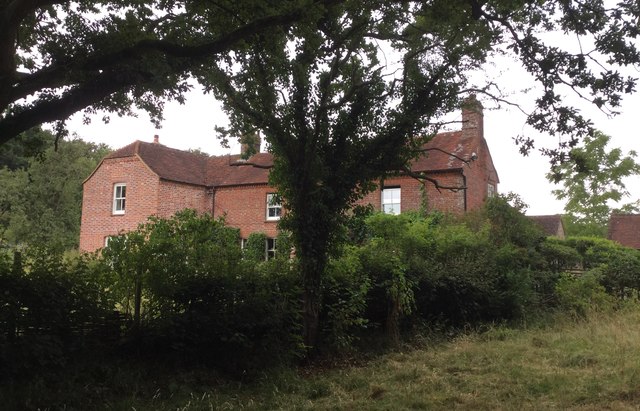
Kirdford boasts several notable landmarks, including the St. John the Baptist Church, a beautiful medieval church that dates back to the 13th century. The village also features several traditional thatched-roof cottages, adding to its quintessential English village charm.

Despite its small size, Kirdford provides essential amenities for its residents and visitors. These include a primary school, a village hall, a post office, and a local pub, which serves as a social hub for the community. The village has a strong sense of community spirit, with various events and activities organized throughout the year.

In summary, Kirdford is a delightful village in West Sussex, offering a tranquil countryside setting, historical landmarks, and a close-knit community atmosphere. It is a hidden gem for those seeking a peaceful retreat and a taste of traditional English village life.

If you have any feedback on the listing, please let us know in the comments section below.
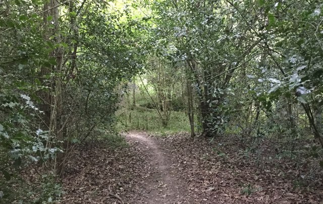
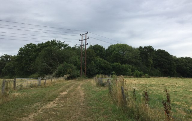
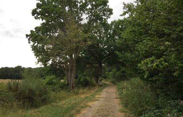
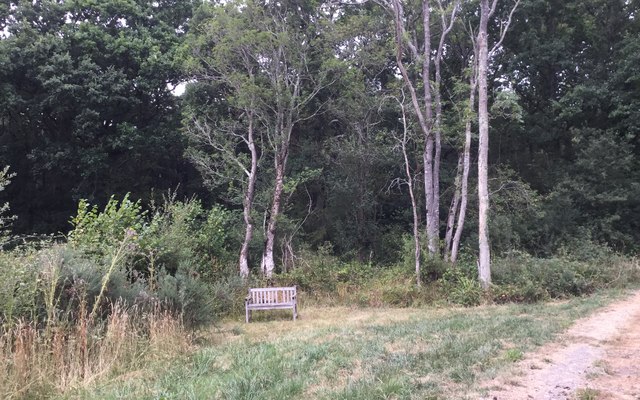
Kirdford Images

Images are sourced within 2km of 51.031273/-0.551211 or Grid Reference TQ0126. Thanks to Geograph Open Source API. All images are credited.

Road through Kirdford
Approaching the Boxal Bridge
The Boxal Brook Viewed from the Boxal Bridge.
The Boxal Brook
Viewed from the Boxal Bridge.
The Boxal Bridge Clearance of undergrowth was seen to be taking place.
The Boxal Bridge
Clearance of undergrowth was seen to be taking place.
Kiln Copse Kiln Copse viewed from the Kirdford Road.
Kiln Copse
Kiln Copse viewed from the Kirdford Road.
Trade Entrance and Bridleway The trade entrance at Barkfold Manor is also the start of a bridleway.
Trade Entrance and Bridleway
The trade entrance at Barkfold Manor is also the start of a bridleway.
Barkfold Manor Barkfold Manor viewed from the nearby bridleway.
Barkfold Manor
Barkfold Manor viewed from the nearby bridleway.
The Bothy The Bothy at Barkfold Manor.
The Bothy
The Bothy at Barkfold Manor.
Barkfold Farmhouse
Barkfold Farmhouse
Path Junction at Barkfold Farm
Bridleway beside Kiln Copse
Underneath the flight path for Gatwick A number of planes were passing overhead at this point and making a final turn to the right to begin the landing approach for Gatwick Airport. This plane was the Norwegian Air International flight IBK1RL from Oslo at around 5,000 feet according to the Flightradar24 app on my smartphone.
Underneath the flight path for Gatwick
A number of planes were passing overhead at this point and making a final turn to the right to begin the landing approach for Gatwick Airport. This plane was the Norwegian Air International flight IBK1RL from Oslo at around 5,000 feet according to the Flightradar24 app on my smartphone.
Bridge over the Boxal Brook Crossing the Boxal Brook over a fairly well hidden bridge.
Bridge over the Boxal Brook
Crossing the Boxal Brook over a fairly well hidden bridge.
Pond at Boxal Brook A small pond formed by the Boxal Brook, which was probably connected with the former Ironworks sited in Kiln Copse.
Pond at Boxal Brook
A small pond formed by the Boxal Brook, which was probably connected with the former Ironworks sited in Kiln Copse.
Path through Kiln Copse
Approaching Barkfold Rough
Bridleway beside Barkfold Rough
Seat beside Barkfold Rough An isolated seat beside the woodland and the bridleway.
Seat beside Barkfold Rough
An isolated seat beside the woodland and the bridleway.
Show me another place!

Kirdford is located at Grid Ref: TQ0126 (Lat: 51.031273, Lng: -0.551211)

Administrative County: West Sussex

District: Chichester

Police Authority: Sussex

What 3 Words

///business.landowner.hype. Near Petworth, West Sussex

Related Wikis

Kirdford

Kirdford is a village and civil parish in the Chichester District of West Sussex, England. Its nearest town is Petworth, located 6.5 miles (10.5 km) southwest...

St Ronan's School

Saint Ronan's School is an independent co-educational preparatory school for boys and girls from 3 to 13 years located in Hawkhurst in Kent, England. It...

Petworth (electoral division)

Petworth is an electoral division of West Sussex in the United Kingdom, and returns one member to sit on West Sussex County Council. == Extent == The division...

Balls Cross

Balls Cross is a hamlet in Ebernoe civil parish in the Chichester District of West Sussex, England.The hamlet comprises a few houses together with a small...

The Mens

The Mens is a 205.2-hectare (507-acre) biological Site of Special Scientific Interest west of Billingshurst in West Sussex. It is a Nature Conservation...

Wisborough Green

Wisborough Green is a village and civil parish in the north of the Chichester district of West Sussex, England, 2 miles (3.2 km) west of Billingshurst...

Loxwood F.C.

Loxwood Football Club is a football club based in Loxwood, West Sussex, England. Nicknamed "The Magpies" and affiliated to the Surrey County FA, they are...

Ebernoe Common

Ebernoe Common is a 233.9-hectare (578-acre) biological Site of Special Scientific Interest in Ebernoe, north of Petworth in West Sussex. It is a Nature...

Related Videos

Bramley Close, Kirdford, West Sussex

We are pleased to bring to the market this modern three—bedroom home, situated in the heart of this picturesque West Sussex ...

Townfield, Kirdford

A well–presented two-bedroom ground floor apartment home situated within the pretty and picturesque village of Kirdford.

Nearby Amenities

Located within 500m of 51.031273,-0.551211
Kirdford
Is In: West Sussex,England,UK
Place: village
Lat/Long: 51.0298031/-0.5502621
Bus Stop
Memorial
Naptan AtcoCode: 4400HR0130
Naptan Bearing: NW
Naptan CommonName: Memorial
Naptan Indicator: adj Townfield
Naptan Landmark: Kirdford Post Office
Naptan NaptanCode: wsxatmdt
Naptan Street: Townfield
Naptan Verified: no
Source: naptan_import
Lat/Long: 51.0311952/-0.5511573
Bus Stop
Memorial
Naptan AtcoCode: 4400HR0131
Naptan Bearing: SE
Naptan CommonName: Memorial
Naptan Indicator: o/s Ferrers
Naptan Landmark: 100yds down road opp. Kirdford Post
Naptan NaptanCode: wsxatmdw
Naptan Street: Townfield
Naptan Verified: no
Source: naptan_import
Lat/Long: 51.0306541/-0.5504383
Pound Corner
Naptan AtcoCode: 4400HR0713
Naptan Bearing: SE
Naptan BusStopType: CUS
Naptan CommonName: Pound Corner
Naptan Indicator: HAR
Naptan Landmark: Hail & Ride
Naptan NaptanCode: wsxdwdgt
Naptan Street: Unnamed Road
Naptan Verified: no
Source: naptan_import
Lat/Long: 51.033583/-0.5545686
Pound Corner
Naptan AtcoCode: 4400HR0714
Naptan Bearing: NW
Naptan BusStopType: CUS
Naptan CommonName: Pound Corner
Naptan Indicator: HAR
Naptan Landmark: Hail & Ride
Naptan NaptanCode: wsxdwdgw
Naptan Street: Unnamed Road
Naptan Verified: no
Source: naptan_import
Lat/Long: 51.0335397/-0.5546983
Barrier: kissing_gate
Foot: yes
Lat/Long: 51.0296944/-0.5455201
Post Box
Collection Plate: CP1
Collection Times: Mo-Fr 16:00; Sa 09:00
Last Checked: 2020-03-06
Operator: Royal Mail
Post Box Type: pillar
Ref: RH14 134
Royal Cypher: EIIR
Royal Cypher Wikidata: Q33102113
Lat/Long: 51.0311866/-0.551273
Bench
Backrest: yes
Lat/Long: 51.031193/-0.5512208
Leisure: playground
Lat/Long: 51.0324465/-0.5516825
Historic: memorial
Lat/Long: 51.0297698/-0.5494496
Power: pole
Source: Bing
Lat/Long: 51.0346339/-0.5524868
Power: pole
Source: Bing
Lat/Long: 51.0334498/-0.5525297
Power: pole
Source: Bing
Lat/Long: 51.0330756/-0.5508461
Power: pole
Source: Bing
Lat/Long: 51.0324209/-0.5495257
Power: pole
Source: Bing
Lat/Long: 51.0323165/-0.5475524
Power: pole
Source: Bing
Lat/Long: 51.0322659/-0.5466082
Power: pole
Source: Bing
Lat/Long: 51.0322929/-0.5454495
Washout Hydrant
Fire Hydrant
Emergency: fire_hydrant
Fire Hydrant Type: underground
Survey Date: 2018-11-11
Water Source: main
Lat/Long: 51.029942/-0.5519763
Post Box
Collection Plate: CP5D
Collection Times: Mo-Fr 09:00; Sa 07:00
Last Checked: 2020-03-06
Old Ref: RH14 54
Operator: Royal Mail
Post Box Type: wall
Ref: RH14 54D
Royal Cypher: VR
Royal Cypher Wikidata: Q33102356
Lat/Long: 51.0339602/-0.555106
Cafe
Note: Dispensed from a caravan
Takeaway: only
Lat/Long: 51.0335124/-0.5542316
Leisure: picnic_table
Lat/Long: 51.0336545/-0.5543616
Leisure: picnic_table
Lat/Long: 51.0336068/-0.5544079
Power: pole
Lat/Long: 51.0305402/-0.5470017
Power: pole
Lat/Long: 51.0308186/-0.5460307
Power: pole
Lat/Long: 51.0322153/-0.5449069
Telephone
Booth: K6
Covered: booth
Listed Status: Grade II
Lat/Long: 51.0295639/-0.5496728
Man Made: flagpole
Lat/Long: 51.0312552/-0.5509526
Defibrillator
Emergency: defibrillator
Lat/Long: 51.0313305/-0.5507251
Turning Loop
Lat/Long: 51.0301383/-0.5513559
The data included in this document is from www.openstreetmap.org. The data is made available under ODbL.

Have you been to Kirdford?

Leave your review of Kirdford below (or comments, questions and feedback).