Manor Hill

Hill, Mountain in Berkshire

England

Manor Hill

Looking south-southwest along Church Lane
Looking south-southwest along Church Lane Credit: Basher Eyre

Manor Hill, located in the county of Berkshire, is a prominent hill that offers scenic views and natural beauty to visitors. Situated in the southern part of England, Berkshire is known for its picturesque countryside and historic landmarks. Manor Hill is one such attraction that draws tourists and locals alike.

Rising to an elevation of approximately 297 meters (974 feet), Manor Hill is considered as one of the highest points in Berkshire. The hill is located near the village of Finchampstead, in close proximity to other notable landmarks such as California Country Park and the popular Wellington Country Park. It is part of the larger Finchampstead Ridges, a range of hills that extends across the region.

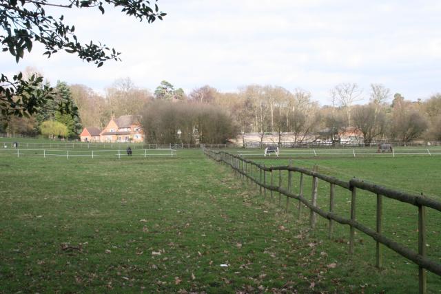
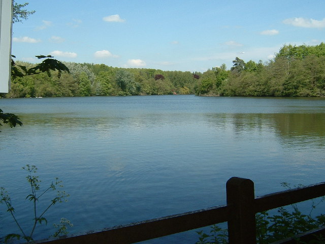
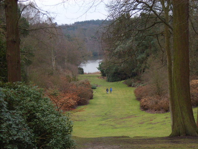
Manor Hill boasts a diverse landscape, characterized by rolling green slopes, lush woodlands, and open meadows. It is a haven for nature enthusiasts, offering numerous walking trails and paths that allow visitors to explore the area and enjoy the breathtaking views. The hill is home to a variety of flora and fauna, making it an ideal spot for wildlife observation and photography.

History also plays a significant role in Manor Hill's charm. The area has a rich heritage, with archaeological evidence suggesting human activity in the region dating back thousands of years. Additionally, the hill has remnants of ancient earthworks and burial sites, showcasing its historical significance.

Overall, Manor Hill in Berkshire combines natural beauty, recreational opportunities, and historical intrigue to create a captivating destination for outdoor enthusiasts and those interested in the region's past.

If you have any feedback on the listing, please let us know in the comments section below.
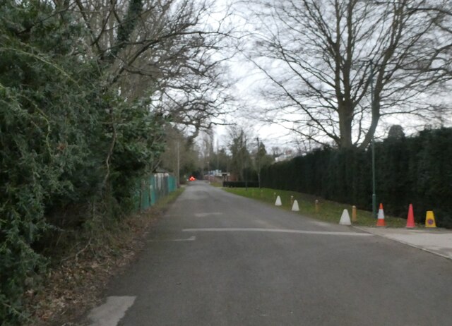
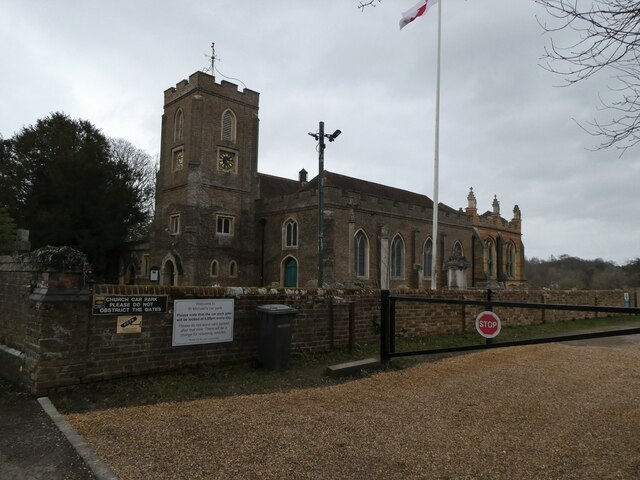
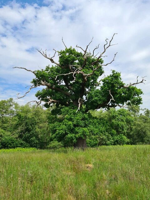
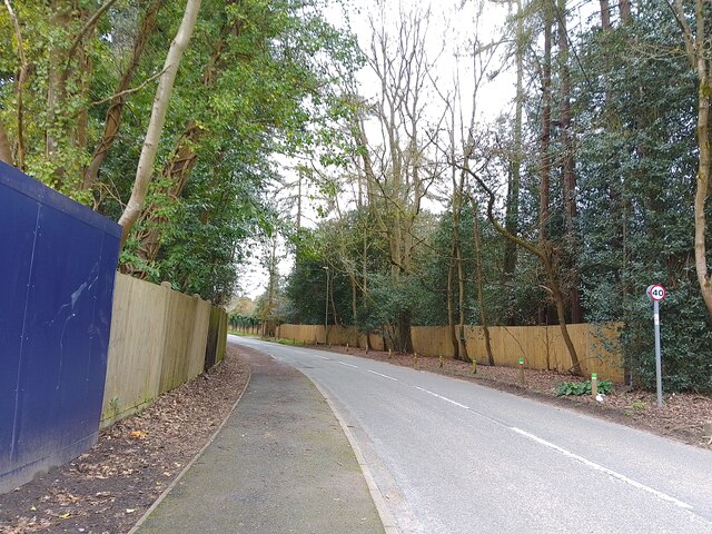
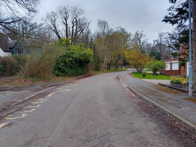
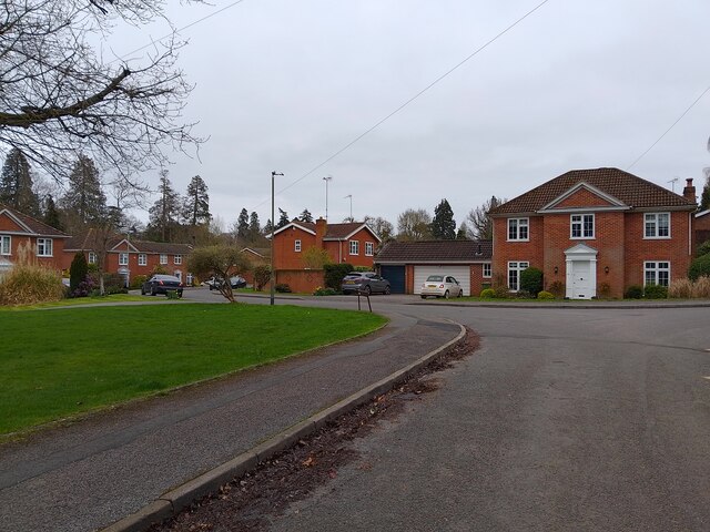
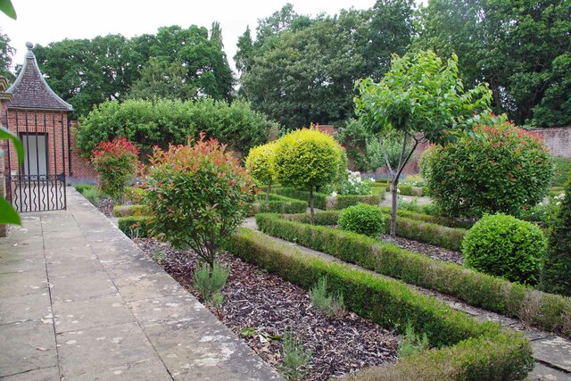
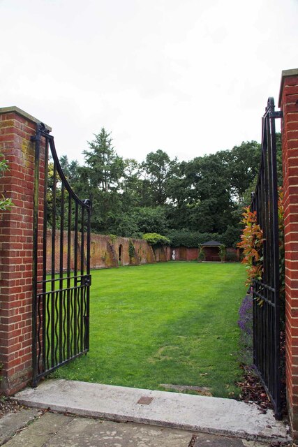
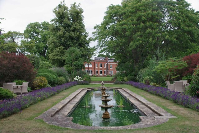
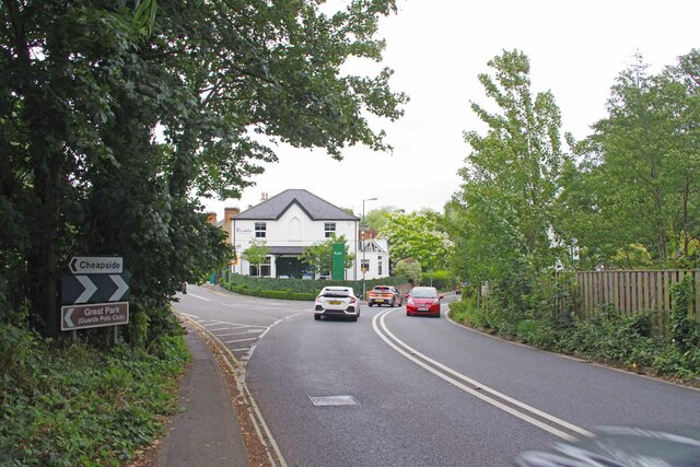
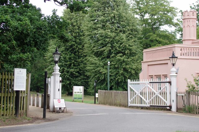
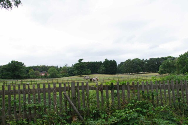
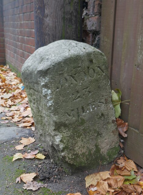
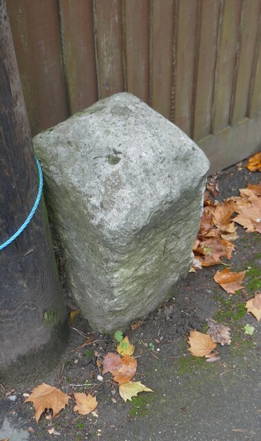
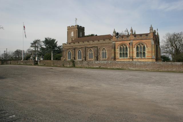
Manor Hill Images

Images are sourced within 2km of 51.418161/-0.62854832 or Grid Reference SU9569. Thanks to Geograph Open Source API. All images are credited.

Looking south-southwest along Church Lane
St Michael & All Angels, Sunninghill: early February 2022
Stag-headed Quercus robur in Church Field Silwood Park As the tree ages,  there comes a point when the canopy starts to contract each year  leaving the resilient but now dead limbs behind.
Stag-headed Quercus robur in Church Field Silwood Park
As the tree ages, there comes a point when the canopy starts to contract each year leaving the resilient but now dead limbs behind.
Larch Avenue A road between Silwood Road (the B383) and Rise Road.
Larch Avenue
A road between Silwood Road (the B383) and Rise Road.
Dorian Drive A road leading to Green Lane off Watersplash Lane. To the left are road markings for Cheapside C of E Primary School.
Dorian Drive
A road leading to Green Lane off Watersplash Lane. To the left are road markings for Cheapside C of E Primary School.
Dorian Drive A road leading to Green Lane off Watersplash Lane. The houses are all in a typical Ascot style, but not particularly large.
Dorian Drive
A road leading to Green Lane off Watersplash Lane. The houses are all in a typical Ascot style, but not particularly large.
Royal Berkshire Hotel Once owned by the Spencer Family (Winston Spencer Churchill) the building was later  used as a School for the blind and since the early 1970's has been a hotel. An ideal billet for the  Ascot races or Sunningdale Golf.
Royal Berkshire Hotel
Once owned by the Spencer Family (Winston Spencer Churchill) the building was later used as a School for the blind and since the early 1970's has been a hotel. An ideal billet for the Ascot races or Sunningdale Golf.
Walled Garden for The Oaks The Oaks was the name of Charles Churchill's 1705 mansion. Now the <a href="https://www.geograph.org.uk/photo/7542840">SU9468 : Royal Berkshire Hotel</a>
Walled Garden for The Oaks
The Oaks was the name of Charles Churchill's 1705 mansion. Now the SU9468 : Royal Berkshire Hotel
Gates to a Walled Garden These days more a walled lawn than a garden. You can see a recreation of what  the eighteenth century gardens may have looked like at <a href="https://www.geograph.org.uk/photo/7542843">SU9468 : Walled Garden for The Oaks</a>
Gates to a Walled Garden
These days more a walled lawn than a garden. You can see a recreation of what the eighteenth century gardens may have looked like at SU9468 : Walled Garden for The Oaks
Sadly Not Longer a Fish Pond I am fairly sure a combination of Herons and a bloom of  blue green algae have put paid to any fish that lived in the pond of the <a href="https://www.geograph.org.uk/photo/7542840">SU9468 : Royal Berkshire Hotel</a>.
Sadly Not Longer a Fish Pond
I am fairly sure a combination of Herons and a bloom of blue green algae have put paid to any fish that lived in the pond of the SU9468 : Royal Berkshire Hotel.
The Way to Cheapside Cheap? Round here who's kidding whom? The left-hand fork leads to <a href="https://www.geograph.org.uk/photo/7542859">SU9568 : Charles III's Back Garden Gate</a>. The building at the fork is the Bluebells restaurant; sadly, I didn't get a chance to try the fayre  <span class="nowrap"><a title="https://bluebells-restaurant.co.uk" rel="nofollow ugc noopener" href="https://bluebells-restaurant.co.uk">Link</a><img style="margin-left:2px;" alt="External link" title="External link - shift click to open in new window" src="https://s1.geograph.org.uk/img/external.png" width="10" height="10"/></span>.
The Way to Cheapside
Cheap? Round here who's kidding whom? The left-hand fork leads to SU9568 : Charles III's Back Garden Gate. The building at the fork is the Bluebells restaurant; sadly, I didn't get a chance to try the fayre LinkExternal link.
Charles III's Back Garden Gate The automatic gates to the grounds of Charlie's dacha in Windsor. They are normally closed 
see <a href="https://www.geograph.org.uk/photo/6385571">SU9568 : Blacknest Gate and Lodge</a>
Charles III's Back Garden Gate
The automatic gates to the grounds of Charlie's dacha in Windsor. They are normally closed see SU9568 : Blacknest Gate and Lodge
Paddocks by the London Road I have a feeling these may be polo ponies.
Paddocks by the London Road
I have a feeling these may be polo ponies.
Old Milestone by the A329 and B383 in Sunninghill
Church of St Michael and All Angels, Sunninghill The church was built between 1808 and 1827 (incorporating a Norman doorway from the previous church) with the chancel and south chapel added in 1888 by W.H. Crossland (architect of Royal Holloway College), all in yellow brick.
Church of St Michael and All Angels, Sunninghill
The church was built between 1808 and 1827 (incorporating a Norman doorway from the previous church) with the chancel and south chapel added in 1888 by W.H. Crossland (architect of Royal Holloway College), all in yellow brick.
Tittenhurst A view looking north over Titness Park.
Tittenhurst
A view looking north over Titness Park.
The Great Pond I took this on a geocaching trip in Windsor Great Park.  It is very near the route of the Three Castles Path and is a spot which birdwatchers appear to enjoy, although the road across the head of the pond is actually off-limits.
The Great Pond
I took this on a geocaching trip in Windsor Great Park. It is very near the route of the Three Castles Path and is a spot which birdwatchers appear to enjoy, although the road across the head of the pond is actually off-limits.
Show me another place!

Manor Hill is located at Grid Ref: SU9569 (Lat: 51.418161, Lng: -0.62854832)

Unitary Authority: Windsor and Maidenhead

Police Authority: Thames Valley

What 3 Words

///dance.take.strong. Near Sunningdale, Berkshire

Related Wikis

Cheapside, Berkshire

Cheapside describes a close triangle of roads in the civil parish of Sunninghill and Ascot and ecclesiastical parish of Sunninghill in the Royal Borough...

IPARC

The International Pesticide Application Research Consortium (IPARC), previously the International Pesticide Application Research Centre and before that...

Tittenhurst Park

Tittenhurst Park is a Grade II listed early Georgian country house set in 72 acres (29 hectares) off London Road at Beggar's Bush near Ascot and over...

Silwood Park

Silwood Park is the rural campus of Imperial College London, England. It is situated near the village of Sunninghill, near Ascot in Berkshire. Since 1986...

Valley Gardens

The Valley Gardens are 220 acres (0.89 km2) of woodland garden, part of the Crown Estate located near Englefield Green in the English county of Surrey...

Sunninghill Park

Sunninghill Park was a country house and estate of about 665 acres (2.7 km2; 1.0 sq mi) directly north of Cheapside, in the civil parishes of Sunninghill...

Coworth Park Hotel

Coworth House, currently known as Coworth Park Hotel, is a late 18th-century country house situated at Sunningdale, near Ascot, in the English county of...

Sunninghill and Ascot

Sunninghill and Ascot is a civil parish in the Royal Borough of Windsor and Maidenhead and takes up most of the south-east corner of the English county...

Nearby Amenities

Located within 500m of 51.418161,-0.62854832
Rosy Bottom
Place: locality
Lat/Long: 51.4192668/-0.6318233
Mill Hill Plantation
Place: locality
Lat/Long: 51.4161074/-0.6280522
Horse Shoe Clump
Place: locality
Lat/Long: 51.4212051/-0.6234603
Buckhurst Park
Place: locality
Lat/Long: 51.4185967/-0.6339726
Manorhill Cottages
Place: isolated_dwelling
Lat/Long: 51.4176006/-0.6254591
Ford: yes
Lat/Long: 51.4222121/-0.6314838
The data included in this document is from www.openstreetmap.org. The data is made available under ODbL.

Have you been to Manor Hill?

Leave your review of Manor Hill below (or comments, questions and feedback).