Haste Hill
Hill, Mountain in Surrey Waverley
England
Haste Hill
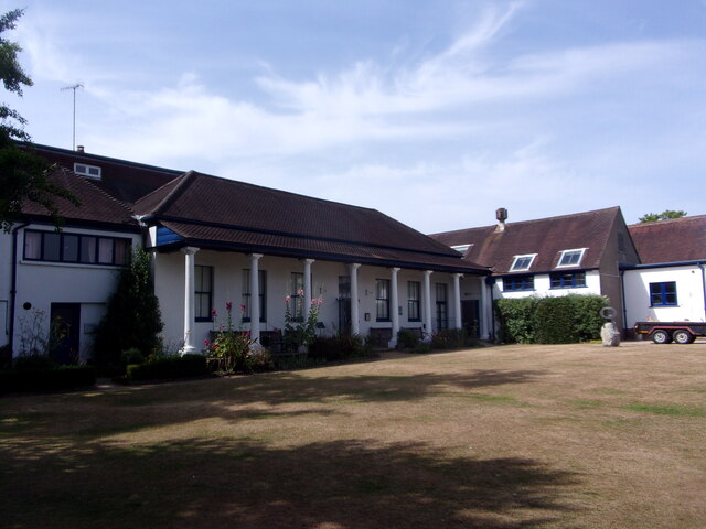
Haste Hill is a picturesque hill located in Surrey, England. Situated in the southern part of the county, it forms part of the North Downs, a range of chalk hills that stretches across Kent and Surrey. The hill stands at an elevation of approximately 168 meters (551 feet) above sea level, offering stunning views of the surrounding countryside.
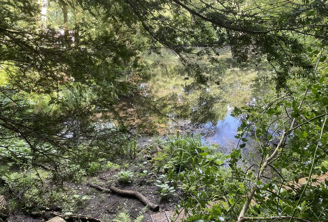
Covered in lush greenery, Haste Hill is a popular destination for outdoor enthusiasts and nature lovers. The hill is known for its diverse flora and fauna, with a variety of plant species, including wildflowers and ancient woodland, adorning its slopes. The surrounding area is also home to several species of birds, making it a haven for birdwatchers.
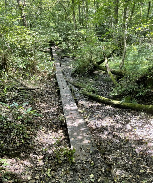
Haste Hill is a fantastic spot for leisurely walks and hikes, with numerous trails crisscrossing the area. Visitors can explore the hill's scenic pathways, taking in the panoramic vistas and enjoying the tranquility of the countryside. The hill is also a favorite spot for picnics, offering ample space for families and friends to gather and relax amidst the natural beauty.
The hill is easily accessible by car, with parking available nearby, and there are also public transport options for those without private transportation. Additionally, Haste Hill is located close to several charming villages and towns, providing opportunities for visitors to explore the local culture and heritage.
Overall, Haste Hill in Surrey is a captivating natural gem, offering a peaceful retreat from the bustling city life and providing a multitude of recreational activities for nature enthusiasts.
If you have any feedback on the listing, please let us know in the comments section below.
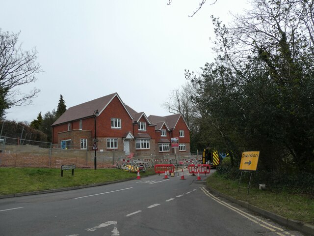
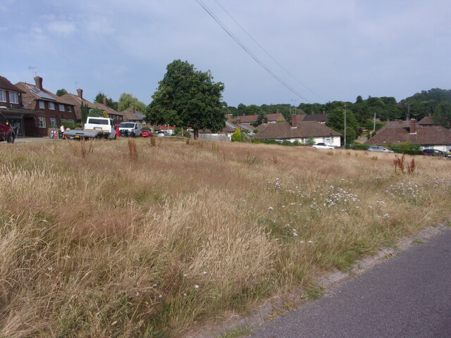
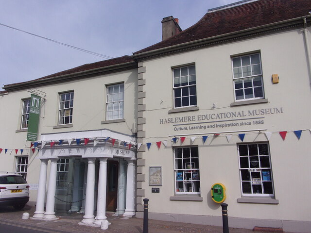
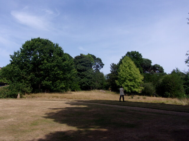
Haste Hill Images
Images are sourced within 2km of 51.080874/-0.70498668 or Grid Reference SU9032. Thanks to Geograph Open Source API. All images are credited.


Haste Hill is located at Grid Ref: SU9032 (Lat: 51.080874, Lng: -0.70498668)
Administrative County: Surrey
District: Waverley
Police Authority: Surrey
What 3 Words
///installs.flop.stooping. Near Haslemere, Surrey
Nearby Locations
Related Wikis

Haste Hill
Haste Hill is a hill near Haslemere, Surrey in England which was probably the original settlement of the town of Haslemere. It was used as the site of...

Haslemere Town Hall
Haslemere Town Hall is a municipal building in the High Street, Haslemere, Surrey, England. The structure, which serves as the meeting place of Haslemere...
The Curry Club
The Curry Club was founded by Pat Chapman in 1982, to further the understanding and appreciation of the cuisines of the Indian subcontinent. In 2007 it...

Haslemere Educational Museum
Haslemere Educational Museum was founded in 1888 by the eminent surgeon Sir Jonathan Hutchinson to display his growing collection of natural history specimens...
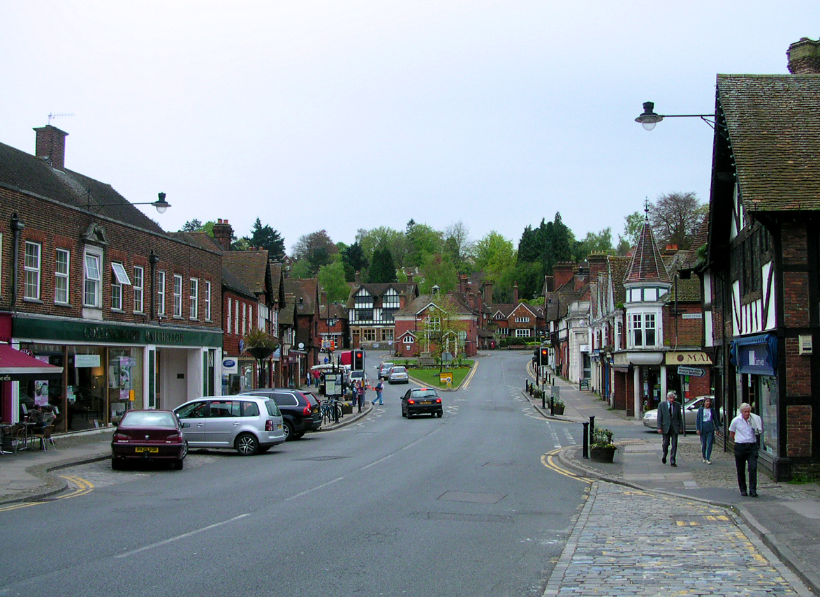
Haslemere
The town of Haslemere () and the villages of Shottermill and Grayswood are in south west Surrey, England, around 38 mi (62 km) south west of London. Together...

Serpent Trail
The Serpent Trail is a 64-mile (103 km) long distance footpath. It runs from Haslemere to Petersfield, which are 11 miles apart in a straight line, by...
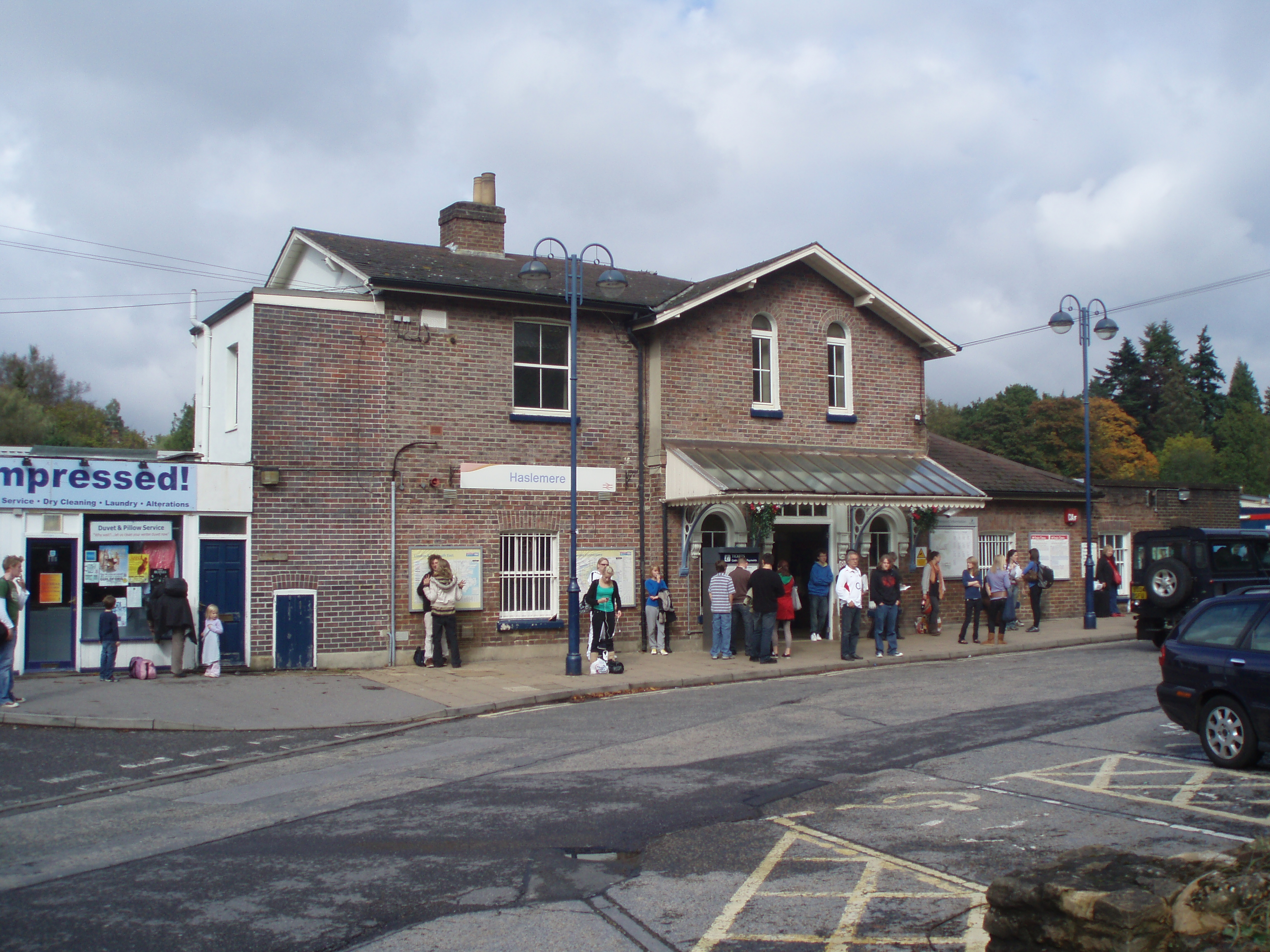
Haslemere railway station
Haslemere railway station is on the Portsmouth Direct Line, serving the town of Haslemere, Surrey, England. It is 42 miles 79 chains (69.2 km) down the...

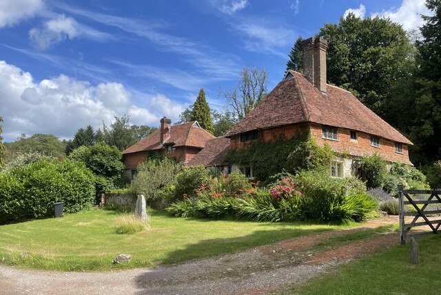
Church Hill House, Haslemere
Church Hill House is a grade II* listed house in Tanners Lane, Haslemere, Surrey. Parts of the walls are grade II listed as well as the adjoining Church...
Nearby Amenities
Located within 500m of 51.080874,-0.70498668Have you been to Haste Hill?
Leave your review of Haste Hill below (or comments, questions and feedback).