Britty Hill
Hill, Mountain in Surrey Waverley
England
Britty Hill
Britty Hill is a prominent natural landmark located in Surrey, England. Situated in the southeastern part of the county, it is renowned for its picturesque views and diverse ecological features. Britty Hill is classified as a hill rather than a mountain, as it stands at an elevation of approximately 100 meters (328 feet) above sea level.
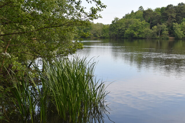
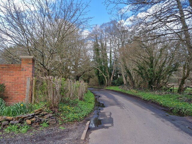
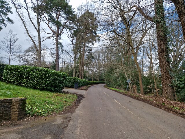
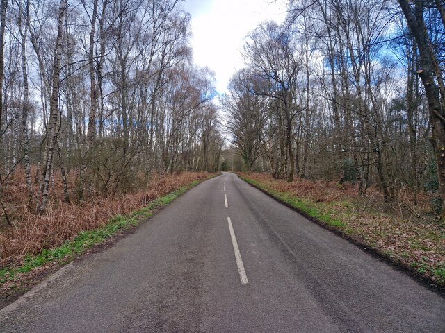
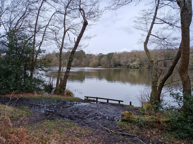
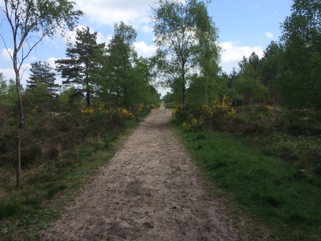
The hill is characterized by its lush greenery, consisting of dense woodlands, rolling meadows, and vibrant wildflower fields. It is home to a variety of plant and animal species, including deer, rabbits, and numerous bird species, making it a popular destination for nature enthusiasts and wildlife photographers.
Aside from its natural beauty, Britty Hill also holds historical significance. It is believed to have been an important site during the Iron Age, with remnants of ancient settlements and burial mounds discovered in the vicinity. These archaeological findings provide insight into the area's rich cultural heritage.
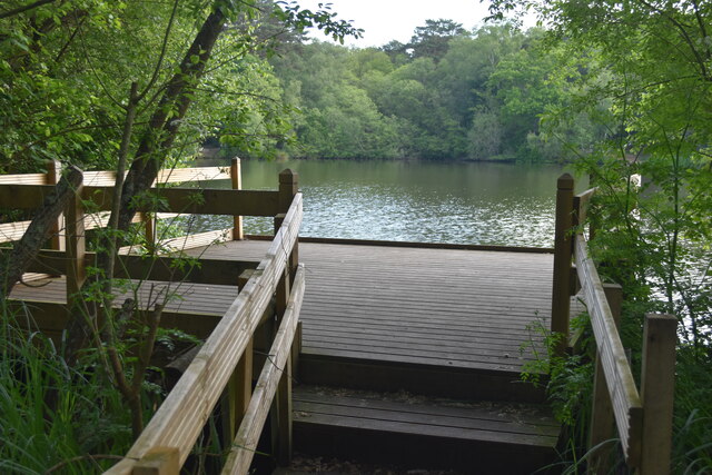
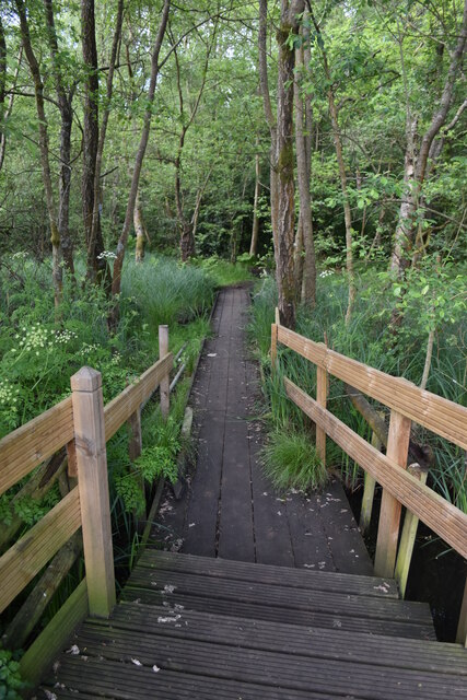
The hill offers visitors a range of recreational activities. Hiking and walking trails crisscross the landscape, allowing visitors to explore its scenic surroundings and enjoy panoramic views of the surrounding countryside. Paragliding and hang gliding are also popular activities, with the hill's favorable wind conditions providing an exhilarating experience for adventure seekers.
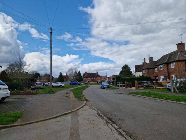
Britty Hill is easily accessible, with several access points and parking areas available nearby. Its close proximity to Surrey's urban centers, such as Guildford and Woking, makes it a convenient destination for both locals and tourists looking to escape the hustle and bustle of city life.
Overall, Britty Hill stands as a natural gem in Surrey, offering breathtaking vistas, a diverse ecosystem, and a glimpse into the region's past. Its combination of natural beauty and historical significance make it a must-visit destination for those exploring the area.
If you have any feedback on the listing, please let us know in the comments section below.
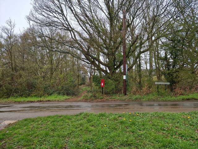
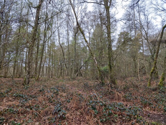
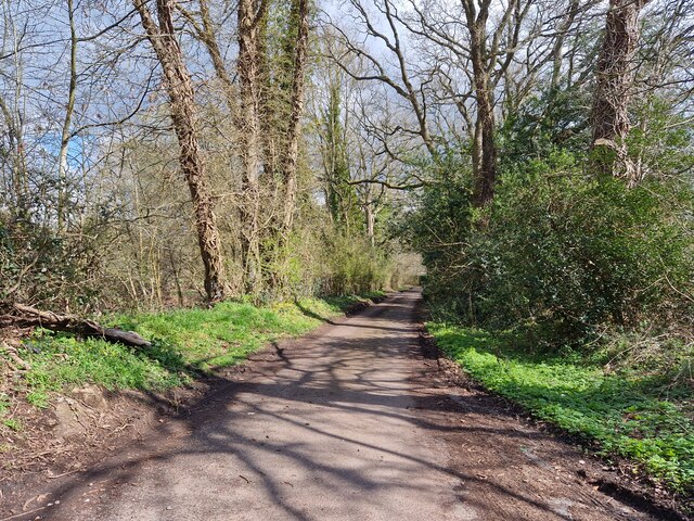
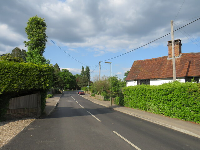
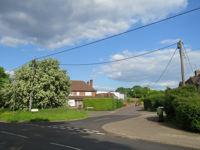
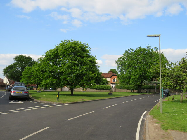
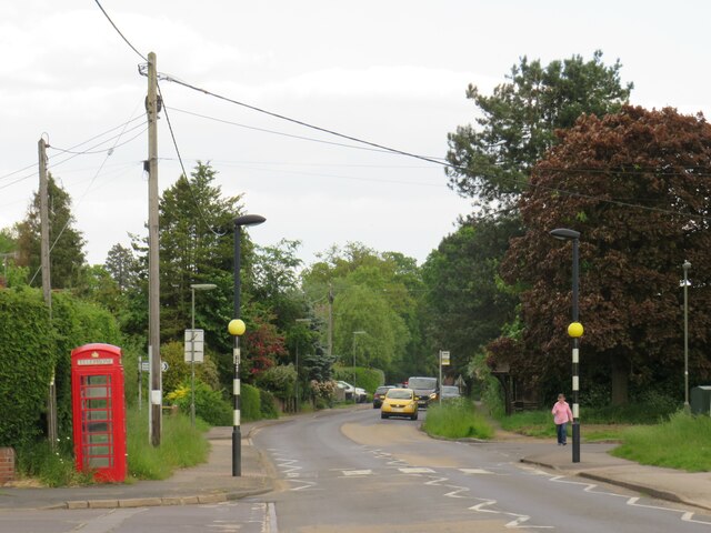
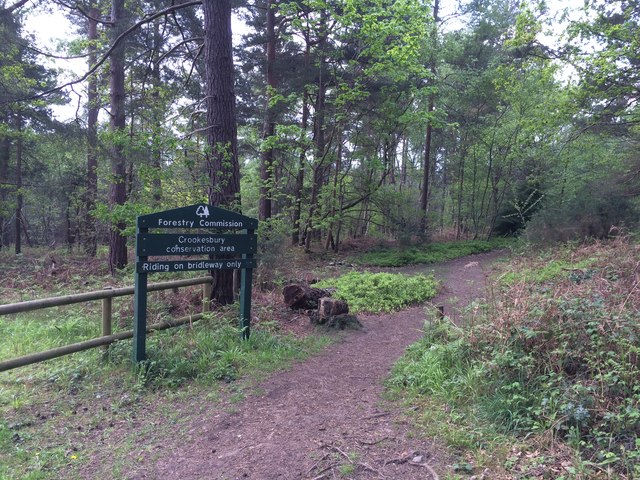
Britty Hill Images
Images are sourced within 2km of 51.199597/-0.7078156 or Grid Reference SU9045. Thanks to Geograph Open Source API. All images are credited.

Britty Hill is located at Grid Ref: SU9045 (Lat: 51.199597, Lng: -0.7078156)
Administrative County: Surrey
District: Waverley
Police Authority: Surrey
What 3 Words
///journals.hence.quiet. Near Elstead, Surrey
Nearby Locations
Related Wikis

Puttenham and Crooksbury Commons
Puttenham and Crooksbury Commons is a 113.8-hectare (281-acre) biological Site of Special Scientific Interest between Farnham and Guildford in Surrey....

Thundry Meadows
Thundry Meadows is a 16-hectare (40-acre) nature reserve in Elstead in Surrey. It is managed by the Surrey Wildlife Trust. Part of it is Charleshill Site...

Charleshill SSSI
Charleshill SSSI is a 10.1-hectare (25-acre) biological Site of Special Scientific Interest west of Elstead in Surrey. It is part of Thundry Meadows nature...

Elstead
Elstead is a civil parish in Surrey, England with shops, houses and cottages spanning the north and south sides of the River Wey; development is concentrated...
Nearby Amenities
Located within 500m of 51.199597,-0.7078156Have you been to Britty Hill?
Leave your review of Britty Hill below (or comments, questions and feedback).